The best traffic-free bike rides in Franklin County
4.6
(138)
3,058
riders
12
rides
No traffic road cycling routes in Franklin County primarily follow paved trails and greenways through river valleys and agricultural landscapes. The region offers a mix of flat sections along waterways and gentle inclines through wooded areas. Cyclists can expect routes that traverse parks, natural areas, and open countryside, providing a blend of urban green spaces and rural scenery. The terrain is generally accessible, with minimal significant elevation changes.
Best no traffic road cycling routes in Franklin County
- The most popular…
Last updated: October 10, 2026
4.5
(2)
38
riders
30.1km
01:11
50m
50m
Easy road ride. Great for any fitness level. Mostly well-paved surfaces and easy to ride.
21
riders
Easy road ride. Great for any fitness level. Mostly well-paved surfaces and easy to ride.

4.5
(2)
20
riders
14.2km
00:34
40m
40m
Easy road ride. Great for any fitness level. Mostly well-paved surfaces and easy to ride.
10
riders
Easy road ride. Great for any fitness level. Mostly well-paved surfaces and easy to ride.
7
riders
Moderate road ride. Good fitness required. Mostly well-paved surfaces and easy to ride.
Get access to more routes and recommendations from other explorers.
Already have an account?
Our route recommendations are based on thousands of hikes, rides, and runs completed by other people on komoot.
Start today with a free account
Your next adventure awaits.

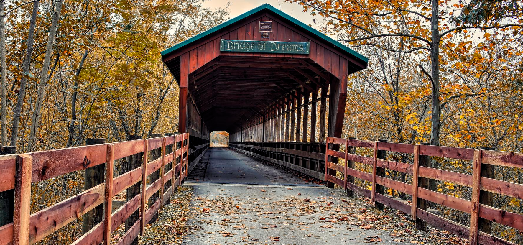
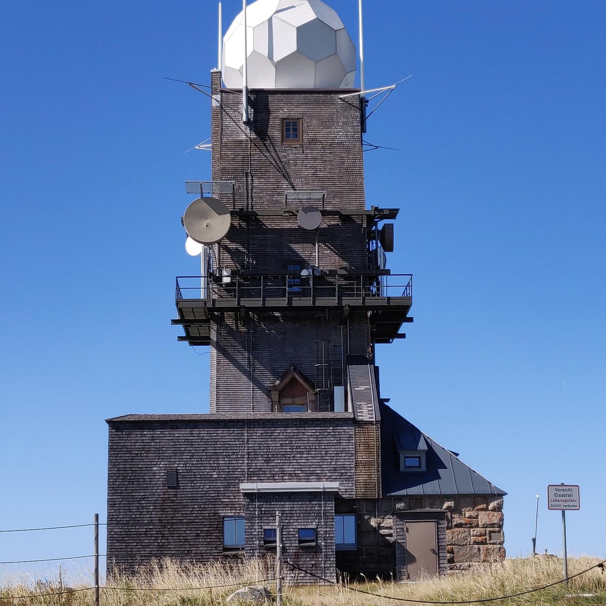
Other adventures in Franklin County

Tips from the Community

Glacier Ridge Metro Park has a nice recreation area, with picnic tables, playgrounds and overlook platforms; it also features restrooms and a water fountain.
0
0
Glacier Ridge Metro Park Trail is a smooth, paved path through wetlands and open fields. The trail is flat and well-maintained, with a few connectors to extend your ride. Restrooms and parking are available at trailheads.
0
0

The Olentangy Trail Hydration Station is one of a few water stations along this popular recreation route. Popular with hikers, runners, and bikers, the hydration station gives them a chance to stay hydrated.
0
0

Glacier Ridge Park has over 1,000 acres of open space and wetlands to explore, combining adventure and nature in one place. The park has a wooden obstacle ninja course, a 25-foot observation tower, a frisbee golf course, and playgrounds, as well as trails for horseback riding, hiking, and biking.
0
0

Olentangy Trail, also known as the Olentangy Greenway Trail, travels from Worthington, Ohio to Columbus, Ohio, and is often used in segments in conjunction with other nearby trails. The trail is 13.6 miles long and follows the bank of the Olentangy River. It connects to the Scioto Greenway Trail.
1
0
Glacier Ridge Metro Park has this 3-acre obstacle course area that has 12 different physical "challenges" that are surrounded by a paved, half-mile circular path.
0
0
This small building offers wetland education programming and has an observation tower for wildlife viewing.
0
0
Olentangy Trail, also known as the Olentangy Greenway Trail, travels from Worthington, Ohio to Columbus, Ohio, and is often used in segments in conjunction with other nearby trails. The trail is 13.6 miles long and follows the bank of the Olentangy River. It connects to the Scioto Greenway Trail.
0
0
Frequently Asked Questions
How many no-traffic road cycling routes are available in Franklin County?
There are 17 dedicated no-traffic road cycling routes in Franklin County featured in this guide. These routes are designed to offer a peaceful and safe cycling experience away from vehicular traffic.
Are there easy no-traffic road cycling routes suitable for beginners or families?
Yes, Franklin County offers several easy no-traffic road cycling routes perfect for beginners and families. For instance, the Olentangy Trail loop from Northwest Columbus is an easy 22.2 km ride, and the Glacier Ridge Metro Park Trail loop is another accessible 22 km option. These routes often feature paved surfaces and minimal elevation changes.
What are the typical lengths of no-traffic road cycling routes in Franklin County?
The no-traffic road cycling routes in Franklin County vary in length. You can find shorter, easy loops around 22 km, such as the Olentangy Trail loop, up to longer routes like the Alum Creek Trail loop, which spans approximately 40 km. This variety allows cyclists to choose a route that fits their desired distance and time.
Are there any circular no-traffic road cycling routes in Franklin County?
Many of the no-traffic road cycling routes in Franklin County are designed as loops, offering a convenient circular experience. Examples include the Turtle Pond – Blacklick Creek Trail loop and the Turtle Pond – Blacklick Creek Greenway loop, both providing scenic circular rides.
What kind of scenery can I expect on no-traffic road cycling routes in Franklin County?
Franklin County's no-traffic routes offer diverse scenery, often following river corridors and passing through green spaces. You can expect scenic river views along routes like the Olentangy Trail and Alum Creek Trail, as well as views of natural features such as Hoover Reservoir Park and various metro parks. The Central Ohio Greenways network, which many of these routes are part of, connects parks, neighborhoods, and natural attractions.
What do other cyclists say about the no-traffic road cycling routes in Franklin County?
The no-traffic road cycling routes in Franklin County are highly regarded by the komoot community, with an average rating of 4.7 out of 5 stars from 90 reviews. Cyclists often praise the well-maintained paved trails, the peaceful environment away from traffic, and the beautiful natural surroundings, especially along the river corridors and through the metro parks.
Are there any notable natural attractions or landmarks along these routes?
Yes, several natural attractions and landmarks can be found along or near the no-traffic road cycling routes. You can cycle alongside the Olentangy River and Alum Creek, or pass by Hoover Reservoir Park. Other highlights include Heron Pond and Thoreau Lake, offering picturesque spots for a break.
What is the best time of year to enjoy no-traffic road cycling in Franklin County?
While cycling is enjoyable year-round, spring and fall are particularly popular for no-traffic road cycling in Franklin County. The mild temperatures and vibrant foliage in autumn, or the blooming scenery in spring, enhance the riding experience. Summer offers longer daylight hours, though it can be warmer, and winter cycling is possible on clear days, especially on well-maintained paved trails.
Are there options for longer, more challenging no-traffic road cycling routes?
While many no-traffic routes are easy, you can combine sections of different trails or explore the longer segments of routes like the Alum Creek Trail loop (40 km) to extend your ride. For those seeking more distance, the Central Ohio Greenways network offers nearly 400 miles of interconnected trails, allowing for longer, continuous rides away from traffic.
Where can I find parking for these no-traffic road cycling routes?
Most no-traffic road cycling routes in Franklin County, especially those within metro parks or part of the Central Ohio Greenways, have designated parking areas at trailheads or nearby access points. For specific routes like the Olentangy Trail or Alum Creek Trail, you'll typically find ample parking available at various points along their length, often near parks or public facilities.
Are there any cafes or places to stop for refreshments near the no-traffic cycling routes?
Many no-traffic road cycling routes in Franklin County pass through or near urban areas and charming villages, providing opportunities for refreshment stops. Routes within the Central Ohio Greenways network often connect to communities where cafes, restaurants, and shops are accessible, allowing cyclists to take a break and refuel.
Most popular routes in Franklin County
Most popular attractions in Franklin County

Get inspired with the komoot mobile app


Didn’t find what you were looking for?
Check out more Road cycling routes throughout Franklin County below and find the perfect route in your destination.
Explore more
Browse the best Road cycling routes in other regions.
