The best volcano hikes and walks in Maui County
4.6
(528)
9,036
hikers
8
hikes
Volcano hiking trails in Maui County traverse a landscape shaped by volcanic activity, featuring diverse ecosystems from high-altitude craters to coastal lava flows. The region is characterized by the colossal Haleakalā volcano, with its multi-hued cinder cones and lava fields, alongside lush rainforests and dramatic ridge lines. This varied terrain offers a range of experiences, from challenging descents into volcanic basins to scenic coastal walks.
Best volcano hiking trails in Maui County
- The most popular volcano hiking route is Sliding…
Last updated: October 11, 2026
5.0
(19)
133
hikers
22.8km
07:13
910m
910m
The Sliding Sands and Halemau'u Trail Loop offers an unparalleled journey through Haleakalā National Park's volcanic heart, starting with a descent into the crater that feels like stepping onto another…
5.0
(1)
6
hikers
14.8km
04:30
530m
530m
If you're seeking a quintessential Mount Rainier experience, the Skyline Trail delivers with its stunning alpine scenery and diverse terrain. This moderate 9.2-mile (14.8 km) hiking loop takes you through…

5.0
(1)
4
hikers
9.78km
02:54
300m
300m
Embark on the Mamane Trail and Waipoli Road Loop for a moderate hiking experience that takes you through varied terrain. You will encounter smooth paths and more technical sections with…
4.9
(17)
205
hikers
14.5km
04:58
780m
780m
Moderate hike. Good fitness required. Easily-accessible paths. Suitable for all skill levels.
4.8
(9)
183
hikers
5.78km
01:44
190m
190m
Easy hike. Great for any fitness level. Easily-accessible paths. Suitable for all skill levels.
Get access to more routes and recommendations from other explorers.
Already have an account?
Our route recommendations are based on thousands of hikes, rides, and runs completed by other people on komoot.
Start today with a free account
Your next adventure awaits.
Popular around Maui County
Volcano hikes in Kula Forest Reserve
Volcano hikes around Haleakala
Volcano hikes in Haleakalā Wilderness
Volcano hikes in Haleakala National Park
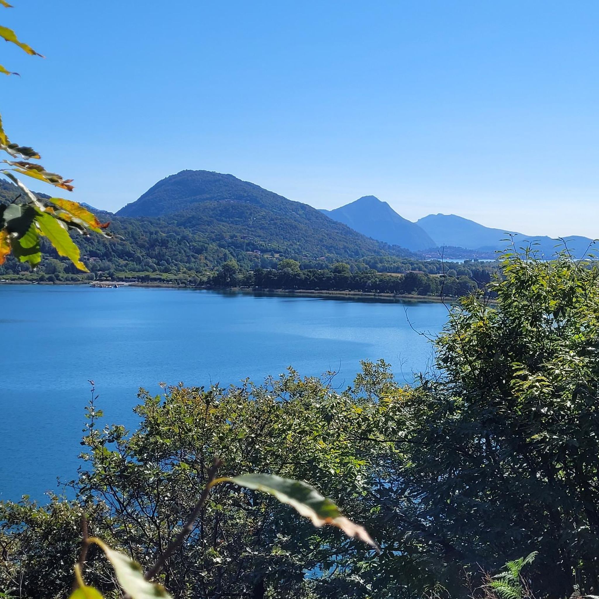
Volcano hikes in Kahikinui Forest Reserve

Pearls in the Pacific – exploring Hawaii's islands on foot
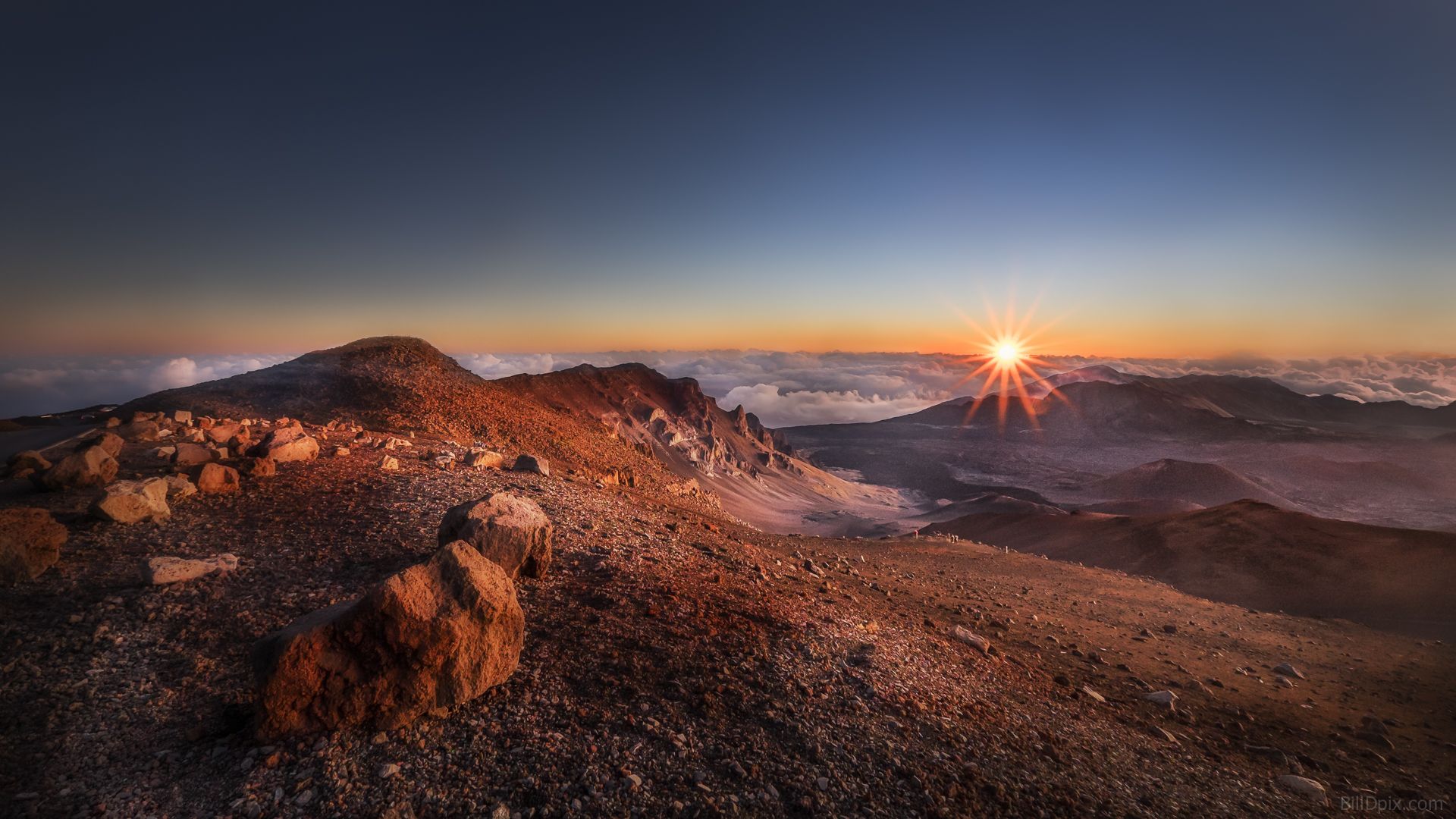
Explore Haleakala Volcano in Hawaii – 2 days between Mars and the Sun


Tips from the Community


Actually a hiking trail, but it shouldn't stop you...start as early as possible!
1
0
It's rather unusual to run at this altitude, but it's still MEGA
1
0

This is a wonderful drive on an excellent road up to 3060 m altitude. We drove partly through clouds and short before the summit it cleared up and we got awarded with an outstanding view around the island.
0
0

Haleakalā's summit currently resides at 10,023 feet. It is believed that it once sat at 15k feet, but it is so heavy that the volcano is sinking into the earth's crust. Today, the volcano is 28,000 feet above the sea floor making it the THIRD tallest mountain on earth!
0
0
This volcanic rock road/trail takes you to the majestic peak and offers uninterrupted views the entire way! Being that you are on a ridge line, you can see almost the entirety of Maui at different point as you climb the volcano.
0
0

This trail leads into the crater of Haleakalā Volcano, also known as Keonehe'ehe'e. This most stunning route section offers panoramic views that defy the imagination. As you continue your run down the trail, be aware of the loose gravel, as it can cause loose rocks and sand to find their way into your shoes. The descent can also be deceiving, so watch your energy for the challenge back to the trailhead.
0
0
Split Rock is a large rock cut in half, and the Keonehe'ehe'e trail passes between the two parts. Here, the endangered Haleakala silverswords grow, and it's crucial to avoid touching them. These delicate 'ahinahina live for 3-90 years, producing a stunning flowering stalk before scattering their seeds. Park staff protect them by fencing out silversword-munching ungulates, removing non-native plants, and educating visitors to stay on trails and avoid stepping on fragile seedlings.
0
0
Frequently Asked Questions
How many volcano hiking trails are available in Maui County?
Komoot features 7 dedicated volcano hiking trails in Maui County, ranging from easy walks to challenging full-day treks. These routes primarily explore the unique landscapes of Haleakalā National Park.
What are the difficulty levels of volcano hikes in Maui County?
You'll find a good mix of difficulties. There are 2 easy trails, 3 moderate routes, and 2 difficult hikes. For a challenging experience, consider the Sliding Sands and Halemau'u Trail Loop, which descends deep into the Haleakalā Crater.
What unique natural features can I expect to see on these volcano trails?
The volcano trails in Maui County offer incredible geological diversity. You can explore the Mars-like volcanic landscapes of Haleakalā Crater with its multi-hued sands and cinder cones. The Keonehe‘ehe‘e Trail (Sliding Sands) is a prime example of this unique terrain. You might also encounter rare plants like the Silver Sword.
Are there any family-friendly volcano hikes in Maui County?
Yes, there are several options suitable for families. Easier trails like the Summit Building – Haleakalā Visitor Center loop from Pan-STARRS offer manageable distances and less elevation gain, perfect for a family outing to experience the volcanic landscape without extreme exertion.
What is the best time of year to hike the volcanoes in Maui County?
Maui's climate is generally pleasant year-round, but for volcano hikes, especially at higher elevations like Haleakalā, the dry season (April to October) often offers clearer skies and more stable weather. However, weather can change rapidly at the summit, so always be prepared for cooler temperatures and potential rain regardless of the season.
What should I wear for volcano hiking in Maui County?
Due to the significant elevation changes, especially in Haleakalā National Park, it's crucial to dress in layers. Even if it's warm at sea level, temperatures at the summit can be near freezing, especially at sunrise. Bring sturdy hiking shoes, a windbreaker, a hat, and plenty of water.
Are there any circular volcano routes available?
Yes, for those who prefer loop trails, the Sliding Sands and Halemau'u Trail Loop offers a challenging but rewarding circular experience within Haleakalā National Park. Another moderate option is the Mamane Trail and Waipoli Road Loop.
What do other hikers enjoy most about volcano hiking in Maui County?
The komoot community rates these trails highly, with an average score of 4.65 stars. Hikers frequently praise the otherworldly landscapes of Haleakalā Crater, the stunning panoramic views, and the unique experience of being above the clouds. The chance to see rare native flora and fauna is also a highlight for many.
Are there any facilities or visitor centers near the volcano trails?
Yes, within Haleakalā National Park, you can find the Haleakalā Visitor Center, which provides facilities, information, and often ranger programs. The Summit Building also offers incredible views and is a key landmark.
Do I need a permit or reservation for volcano hikes, especially for sunrise at Haleakalā?
While general hiking in Haleakalā National Park doesn't always require a specific hiking permit, reservations are mandatory for vehicles entering the Summit District between 3:00 AM and 7:00 AM to view the sunrise. It's always best to check the official Haleakalā National Park website for the most current requirements before your visit.
Is public transport available to reach the volcano trails?
Public transport options directly to the summit of Haleakalā National Park are very limited. Most visitors drive or take a tour. Planning for a rental car is generally recommended for accessing the trailheads and exploring the wider region.
Are there any waterfalls near the volcano hiking areas?
While the main volcano trails in the Summit District of Haleakalā are known for their arid, crater landscapes, the Kīpahulu District of Haleakalā National Park (accessible via the Road to Hana) is famous for its lush forests and waterfalls. Here, you can find the magnificent Waimoku Falls, a stunning 400-foot cascade.
Most popular routes in Maui County
Most popular attractions in Maui County

Get inspired with the komoot mobile app


Didn’t find what you were looking for?
Check out more Hikes throughout Maui County below and find the perfect route in your destination.
Explore more
Browse the best Hikes in other regions.
