The best city hikes and walks in Contra Costa County
4.6
(436)
6,503
hikers
30
hikes
Urban hiking trails in Contra Costa County offer diverse landscapes across the East Bay of the San Francisco Bay Area. The region features rolling hills, open spaces, and extensive multi-use trail networks connecting various towns. Hikers can explore a variety of environments, from shoreline paths to inland greenways. The county's terrain provides options ranging from flat, paved routes to more challenging paths with moderate elevation changes.
Best urban hiking trails in Contra Costa County
- The most popular urban hiking route…
Last updated: October 11, 2026
4.0
(1)
4
hikers
10.3km
02:37
30m
30m
Embark on a moderate hike along the Ohlone Greenway, a paved multi-use path stretching 6.4 miles (10.3 km) with a gentle elevation gain of 85 feet (26 metres). This route…
2
hikers
4.96km
01:17
40m
20m
Hike the easy 3.1-mile Pinole Shores trail for bay views, diverse landscapes, and birdwatching opportunities in San Pablo Bay Regional Shore

46.3km
11:46
160m
60m
Embark on a challenging hike along the Iron Horse Regional Trail, a 28.8-mile (46.3 km) route that traces a historic railroad line through the East Bay. You will experience a…
1.61km
00:25
0m
10m
Hike the easy 1.0-mile San Francisco Bay Trail: Pinole Shores for panoramic views of San Pablo Bay and the Marin shoreline.
15.8km
04:00
10m
80m
The Iron Horse Regional Trail: San Ramon to Alamo offers a delightful and accessible hiking experience, perfect for a relaxed day out. This 9.8-mile (15.8 km) route, rated moderate, features…
Get access to more routes and recommendations from other explorers.
Already have an account?
Our route recommendations are based on thousands of hikes, rides, and runs completed by other people on komoot.
Start today with a free account
Your next adventure awaits.
Popular around Contra Costa County
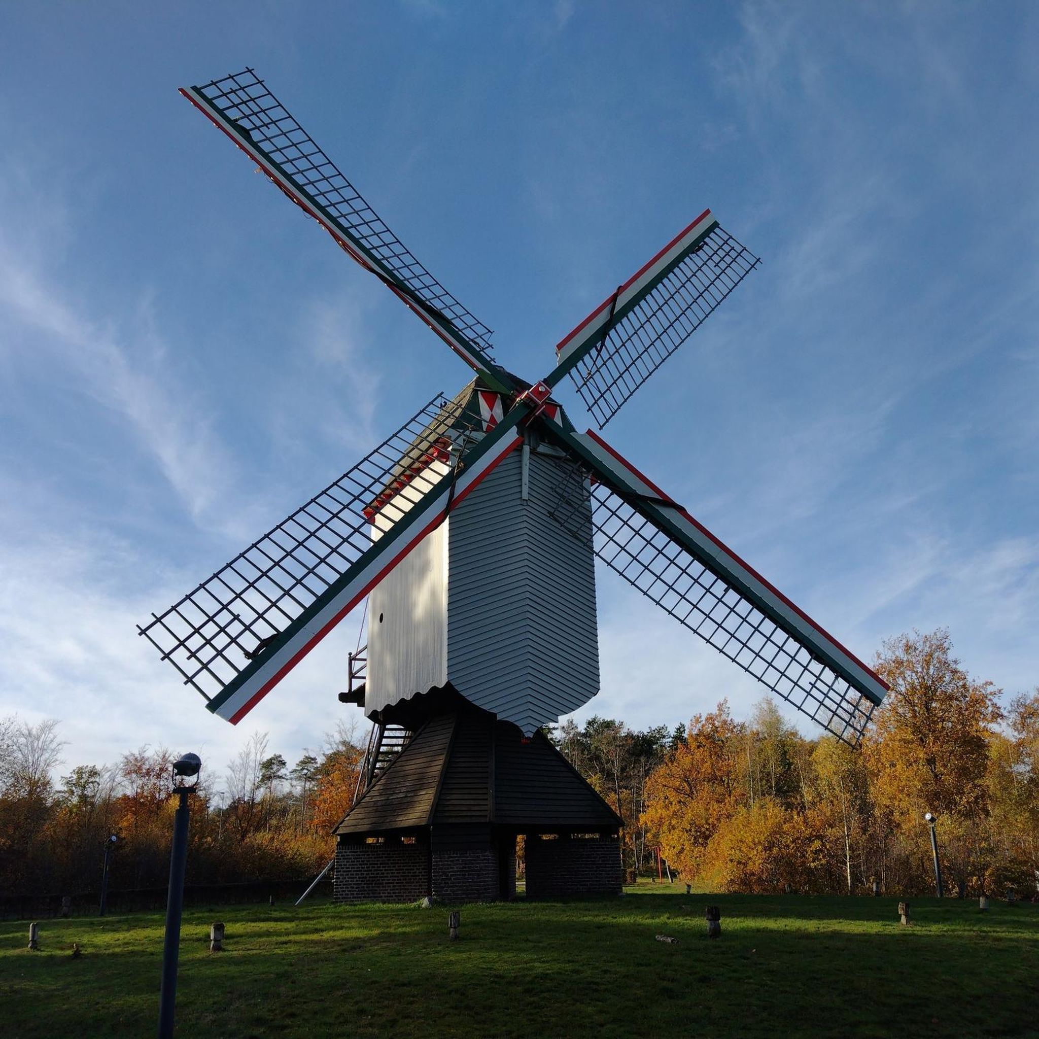
City hikes in Wildcat Canyon Regional Park
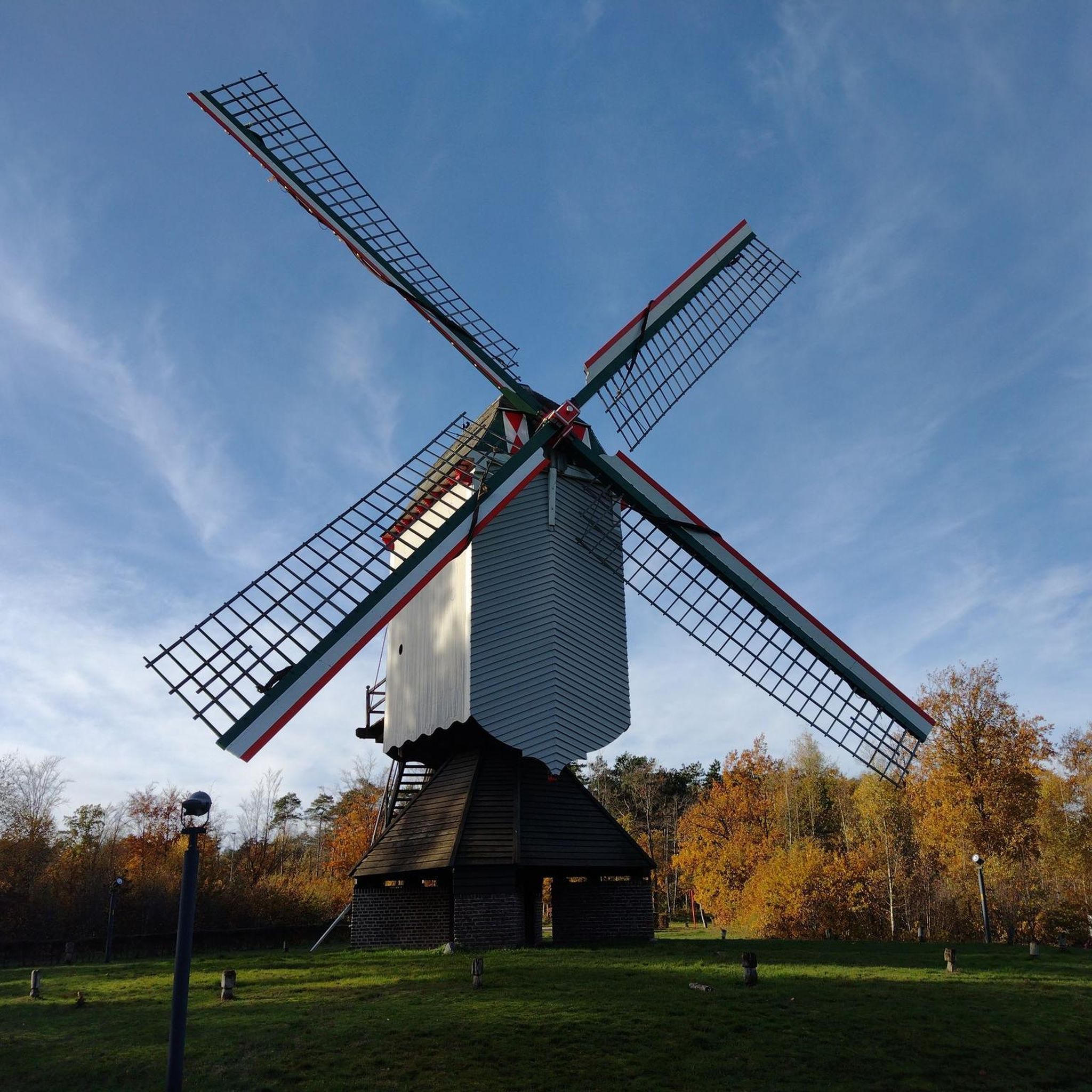
City hikes in Tilden Regional Park
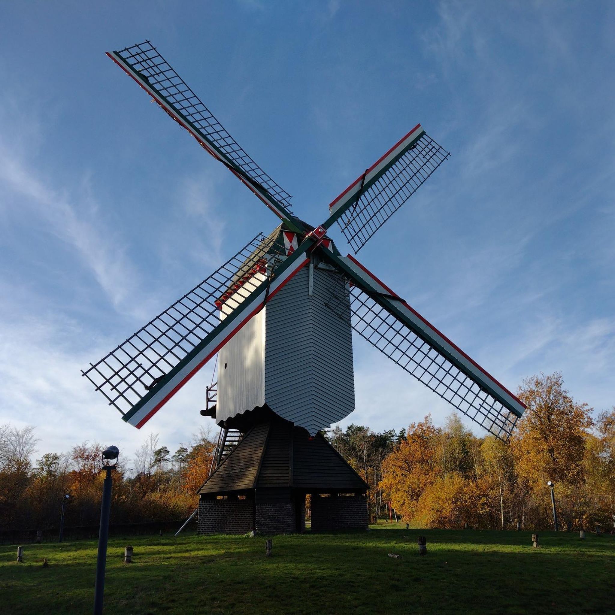
City hikes in Kennedy Grove Regional Recreation Area

City hikes around Richmond

City hikes in Crockett Hills Regional Park
City hikes in Lafayette Reservoir Recreation Area
City hikes in Mulholland Open Space Preserve

City hikes in Briones Regional Park
City hikes in Reinhardt-Redwood Regional Park

City hikes around El Cerrito


Tips from the Community

What is the Iron Horse Trail? The Iron Horse Regional Trail is a more than 25-mile route that runs from Pleasanton to Concord, following the old Southern Pacific Railroad line. In San Ramon, the trail covers approximately 2.6 miles. The trail offers views of the valleys and hills of Mount Diablo and winds through residential neighborhoods, parks, and commercial areas.
1
0

Shoreline park along San Francisco Bay Trail. Unfortunately the trail deadends a mile further west.
0
0
Wooden bike and pedestrian bridge along the smooth biking section of the Bay Trail crosses Pinole Creek. The Creek has been restored to fairly natural conditions and is flanked by bike trails on both sides of the creek.
0
0

The Museum of the San Ramon Valley was established in 1985 and sits in a restored 1891 Southern Pacific Railroad Depot with the Victorian-era “Combination Station No. 22” listed on the National Register of Historic Places. The Official Visitor Information Center offers maps, guides, and knowledgeable staff, along with free parking and restrooms located in the caboose.
1
0

Cedar Rose Park has tons of sports fields, a couple of play areas, a big lawn, and public restrooms. The park was developed along a section of an abandoned railway right-of-way and is about 5 acres.
0
0

This crossing was created by the Friends of Five Creeks as part of one of their larger restoration projects that began in 1999 to revive the area where Codornices Creek crosses the Ohlone Greenway. Inspired and led by local architect Todd Jersey, the project has transformed the site by replacing ivy and trash with native plants, improving access, and adding a beautiful observation railing.
0
0
Frequently Asked Questions
How many urban hiking trails are available in Contra Costa County?
Contra Costa County offers a wide selection of urban hiking trails, with over 30 routes available for exploration. These trails cater to various preferences, from easy strolls to more challenging paths.
What kind of terrain can I expect on urban hikes in Contra Costa County?
Urban hikes in Contra Costa County feature diverse terrain. Many trails, like the Ohlone Greenway and the Iron Horse Regional Trail, are paved or well-maintained multi-use paths, ideal for easy walking. Other areas, particularly those bordering regional parks, might offer rolling hills and natural surfaces, providing a more traditional hiking experience within an urban setting.
Are there any urban trails with good views in Contra Costa County?
Absolutely. While many urban trails offer pleasant local scenery, some provide expansive views. For instance, the Lafayette Reservoir features a 5-mile rim trail with rolling hills and panoramic vistas. Additionally, trails near areas like Acalanes Ridge Open Space can offer sweeping views of Mount Diablo, Briones Regional Park, and the Carquinez Strait.
Which urban trails are suitable for families with children?
Many of Contra Costa County's urban trails are family-friendly due to their relatively flat and well-maintained surfaces. The Ohlone Greenway and sections of the Iron Horse Regional Trail are excellent choices, offering easy walking and biking opportunities. The inner loop around Lafayette Reservoir is also a popular, gentle option for families.
Are urban hiking trails in Contra Costa County dog-friendly?
Yes, many urban trails in Contra Costa County welcome dogs, typically requiring them to be on a leash. The Lafayette Reservoir's 2.75-mile inner loop is a popular dog-friendly option. Always check specific park or trail regulations before heading out, as rules can vary.
What interesting landmarks or natural features can I see along urban hikes?
Urban hikes in Contra Costa County often connect to or pass by notable attractions. You might encounter historical mining structures near Black Diamond Shaft, or unique sandstone formations like the Sandstone caves in Castle Rock formations. Some trails offer glimpses of significant peaks such as Mount Diablo Summit or Eagle Peak in the distance.
How accessible are urban trails by public transport in Contra Costa County?
Many urban trails in Contra Costa County are designed for accessibility, often running through or connecting various towns. The Contra Costa Canal Trail and the Iron Horse Regional Trail are prime examples, as they link several communities and are often near public transport stops, making them convenient to reach without a car.
What is the best time of year for urban hiking in Contra Costa County?
Spring (March to May) is particularly beautiful, with hillsides blanketed in wildflowers and pleasant temperatures. Fall (September to November) also offers comfortable weather for hiking. While summer can be warm, many urban trails have shade or are suitable for early morning/late afternoon walks. Winters are generally mild, making urban hiking possible year-round, though some trails might be muddy after rain.
Are there any easy urban loop trails in the area?
Yes, for an easy and scenic loop, consider the 2.75-mile inner loop around Lafayette Reservoir. It's a popular choice for a relaxed walk with pleasant water views. Many sections of the multi-use trails, like the Pinole Shores trail, can also be enjoyed as out-and-back routes that feel like loops for shorter excursions.
What do other hikers enjoy most about urban hiking in Contra Costa County?
The komoot community highly rates the urban hiking experience in Contra Costa County, with an average score of 4.68 stars. Reviewers often praise the convenience and accessibility of these trails, their well-maintained surfaces, and the ability to enjoy nature within an urban setting. The diverse landscapes, from coastal shorelines to rolling hills, are also frequently highlighted.
Are there any urban trails that offer a coastal experience?
Yes, Point Pinole Regional Shoreline provides a unique coastal urban hiking experience. It features scenic walks along the shoreline, offering opportunities to spot wildlife such as various bird species and seals. The park boasts 12 hiking and biking trails and 5.5 miles of shoreline, making it an excellent choice for those seeking sea breezes and views.
Most popular routes in Contra Costa County
Most popular attractions in Contra Costa County

Get inspired with the komoot mobile app


Didn’t find what you were looking for?
Check out more Hikes throughout Contra Costa County below and find the perfect route in your destination.
Explore more
Browse the best Hikes in other regions.
