The best hikes from bus stations in Sandoval County
4.7
(177)
2,478
hikers
13
hikes
Bus station hiking trails in Sandoval County, New Mexico, traverse a landscape shaped by volcanic activity, featuring diverse geological formations and varied terrain. The region includes high desert, canyons, and mesas, transitioning into forested areas within mountain ranges like the Jemez and Sandia Mountains. Elevations range from river valleys to significant peaks, offering a wide array of natural features for outdoor exploration.
Best bus station hiking trails in Sandoval County
- The most popular bus station hiking route is Main Loop and Alcove House Trail, an easy 2.8 miles (4.4 km) trail that takes 1 hour 12 minutes to complete. This route explores ancestral Pueblo archaeological sites.
- Another top favourite among local hikers is Frey Trail, a moderate 4.8 miles (7.7 km) path. This trail offers views of the Frijoles Canyon and surrounding natural features.
- Local hikers also love the Tyuonyi Overlook Trail, a 2.2 miles (3.6 km) trail leading through varied terrain, often completed in about 1 hour.
- Hiking in Sandoval County is defined by volcanic formations, deep canyons, and expansive mesas. The network offers options for different ability levels, from easy strolls to moderate ascents.
- The routes in Sandoval County are highly rated by the komoot community with an average score of 4.7 stars from more than 170 reviews. More than 2,300 hikers have used komoot to explore Sandoval County's varied terrain.
Last updated: July 8, 2026
4.8
(14)
252
hikers
4.43km
01:12
70m
70m
The Main Loop and Alcove House Trail offers a captivating journey through Frijoles Canyon, where you'll walk among ancient Ancestral Pueblo sites carved into dramatic tuff cliffs. The initial section is paved and meanders past the village of Tyuonyi and the Big Kiva, offering a glimpse into history. The real highlight for many is the challenging climb to Alcove House, reached by four wooden ladders and stone stairs, rewarding you with commanding views of the canyon.
This 2.8-mile (4.4 km) hike is rated easy overall, but the Alcove House portion adds a significant challenge with 214 feet (65 metres) of elevation gain, taking about 1 hour and 12 minutes to complete. Be aware that the ladder section to Alcove House can be closed during winter due to ice, so check conditions before you go. It's best suited for those without a fear of heights who want an active historical exploration.
This trail provides a tangible link to the past, allowing you to explore cavates and village remnants where people lived between 600 and 1600 CE. The Alcove House itself once housed about 25 people and features a reconstructed kiva, offering a unique opportunity to connect with thousands of years of human history within Bandelier National Monument.
5.0
(1)
22
hikers
7.73km
02:15
200m
200m
The Frey Trail offers a captivating journey through Bandelier National Monument, transitioning from fragrant Piñon-Juniper Woodlands on the mesa top to the dramatic Frijoles Canyon. You'll navigate well-maintained switchbacks, enjoying panoramic views of the ancient Tyuonyi Pueblo Ruins and the winding Frijoles Creek below. In early summer, blooming prickly pear cacti add vibrant splashes of color to the landscape, making this moderate 4.8-mile (7.7 km) hike a visual treat.
Planning your visit to the Frey Trail is straightforward, with trailhead access available from the Juniper Campground area. During the hot summer months, from mid-May to mid-October, it's crucial to carry at least one liter of water per person due to limited shade. A popular option is to hike down into the canyon and then catch a free shuttle bus back up, especially if you want to avoid the strenuous 669 feet (204 metres) uphill climb. This makes it a great choice for a 2-hour and 15-minute outing.
Historically, the Frey Trail was the main access route into Frijoles Canyon before modern roads were built, giving it a unique cultural significance. It provides close-up perspectives of geological formations and the ancient pueblo ruins, offering a deeper understanding of the area's past inhabitants. This trail is a fantastic way to experience both the natural beauty and rich history of Bandelier National Monument, making it a notable hike in Sandoval County.

Sign up for free
4.7
(3)
18
hikers
3.60km
01:00
70m
70m
Embark on the Tyuonyi Overlook Trail for an easy 2.2 miles (3.6 km) hike that rewards you with expansive views of Frijoles Canyon and the ancient Tyuonyi Pueblo ruins. This route, with a gentle 237 feet (72 metres) of elevation gain, guides you through a pinyon-juniper woodland, offering glimpses of desert flora before culminating at the stunning Tyuonyi Overlook. It's a perfect choice for a leisurely 1 hours outing, blending natural beauty with a profound sense of history.
Starting from the Juniper Campground, the trail is generally easy, though you should anticipate some rocky and uneven sections underfoot. Depending on recent weather, the path might be dusty or muddy, so appropriate footwear is recommended. While no specific permits are typically required for this particular trail, it's always wise to check the Bandelier National Monument's official site for any current park entry fees or seasonal advisories before your visit.
What truly sets this trail apart is its unique combination of geological and cultural significance. You'll walk over pumice-rich soil, a testament to the region's volcanic past, and pass by unexcavated archaeological sites hinting at the Ancestral Puebloans who once thrived here. The overlook itself provides a high vantage point to appreciate the scale of Tyuonyi Pueblo, offering a powerful connection to the lives of its former inhabitants and the enduring landscape.
5.0
(5)
112
hikers
Step back in time on the Pueblo Dwellings – Bandelier National Monument loop, an easy 2.1-mile (3.4 km) hike that winds through the historic Frijoles Canyon. You'll explore ancient Ancestral Pueblo sites, including the impressive Tyuonyi Pueblo and numerous cliff dwellings carved into the volcanic rock. With only 180 feet (55 metres) of elevation gain and an estimated duration of 56 minutes, this trail offers an engaging and accessible experience, allowing you to climb ladders directly into some of the cavates for a truly immersive journey.
Starting conveniently from the Visitor Center, this route provides easy access to the monument's main archaeological features. While the initial section is paved and wheelchair-friendly, be prepared for stairs and wooden ladders as you delve deeper into the cliff dwellings. A trail guide can be picked up at the Visitor Center to enhance your exploration of the numbered stops along the way, making it easy to understand the significance of each site.
This trail is a standout for its direct and intimate connection to the past, offering unparalleled access to a concentrated collection of Ancestral Pueblo archaeological sites. The ability to physically enter the ancient cavates sets this experience apart, providing a tangible link to the people who once called this canyon home. It's a must-do for anyone visiting Bandelier National Monument, especially those interested in the rich cultural history of the region.
5.0
(3)
26
hikers
Step back in time on the Bandelier National Monument Pueblo Dwellings loop, a hike that immerses you in the ancient world of the Ancestral Pueblo people. The trail winds through the dramatic Frijoles Canyon, where you'll explore cliff dwellings carved into volcanic tuff and follow the Rito de los Frijoles stream. Expect a mix of well-maintained paths and the thrilling challenge of climbing wooden ladders into cavates and up to the iconic Alcove House, offering expansive views of the canyon.
Accessing this trail requires a bit of planning, especially during peak season (mid-May to mid-October) when a mandatory shuttle runs from White Rock to the Visitor Center. While the Amphitheater Parking Lot is a starting point, most visitors will connect via the Visitor Center. Always check the current operating procedures before you go, and remember to stay on marked trails to preserve these historic sites.
This moderate 7.2-mile (11.6 km) loop, with 939 feet (286 metres) of elevation gain, typically takes around 3 hours and 22 minutes, making it a substantial and rewarding outing. It's a journey into thousands of years of human history, offering a unique blend of cultural exploration and natural beauty that sets it apart from other hikes in the region.
Get access to more routes and recommendations from other explorers.
Sign up for free
Already have an account?
Our route recommendations are based on thousands of hikes, rides, and runs completed by other people on komoot.
Start today with a free account
Your next adventure awaits.
Login or Signup
Popular around Sandoval County
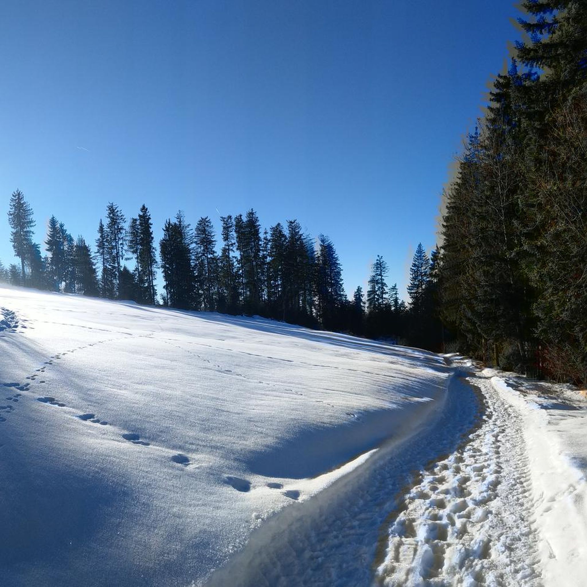
Hikes from bus stations in the Santa Clara Mountains
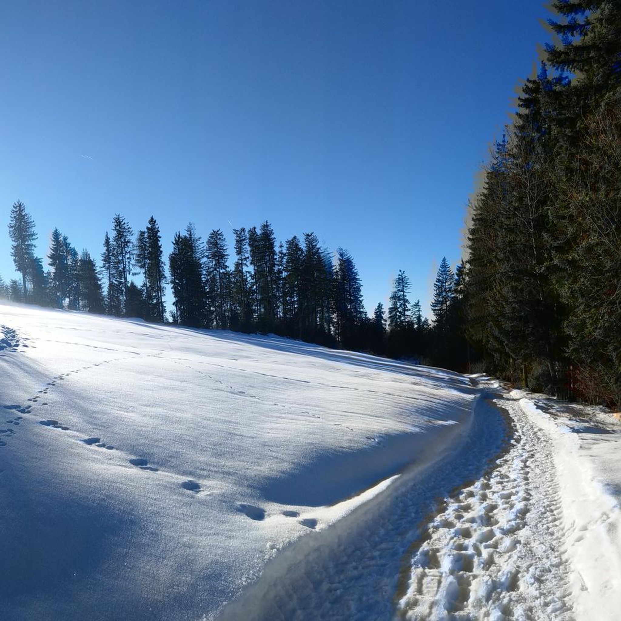
Hikes from bus stations in Bandelier National Monument
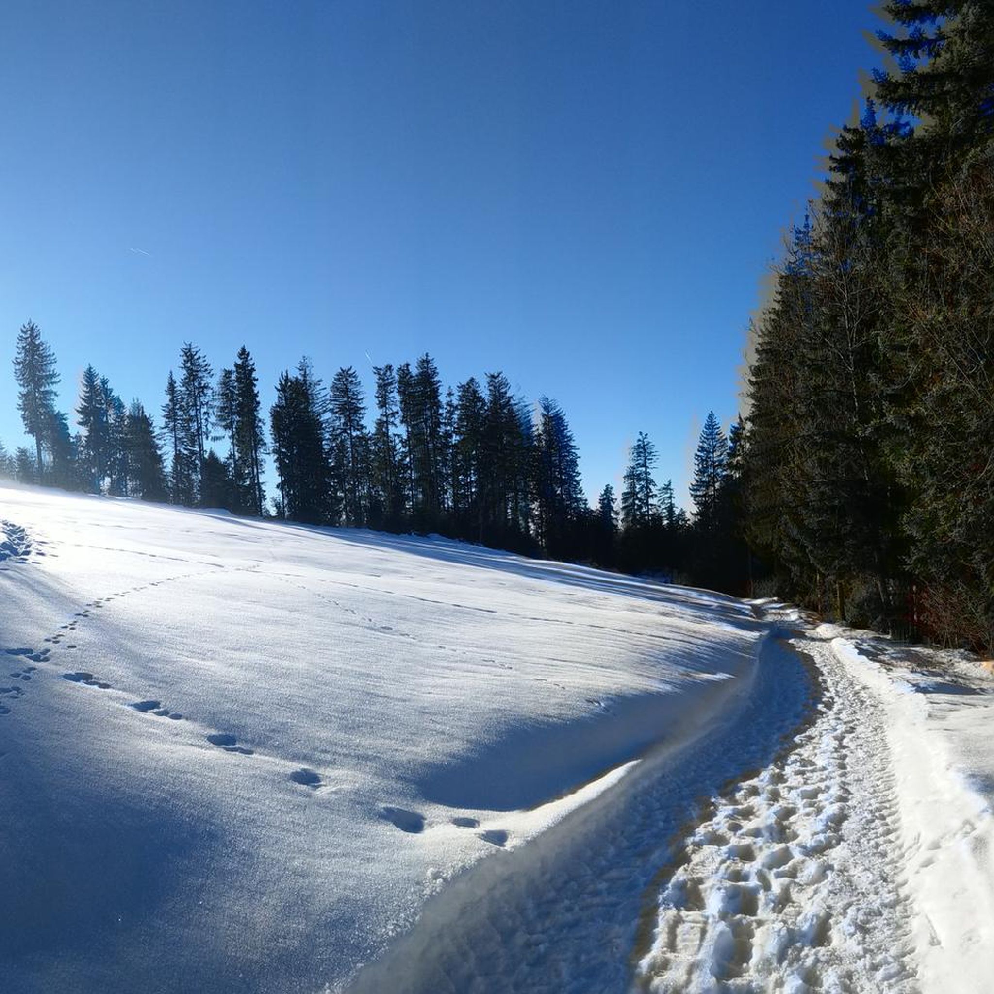
Hikes from bus stations in Dome Wilderness
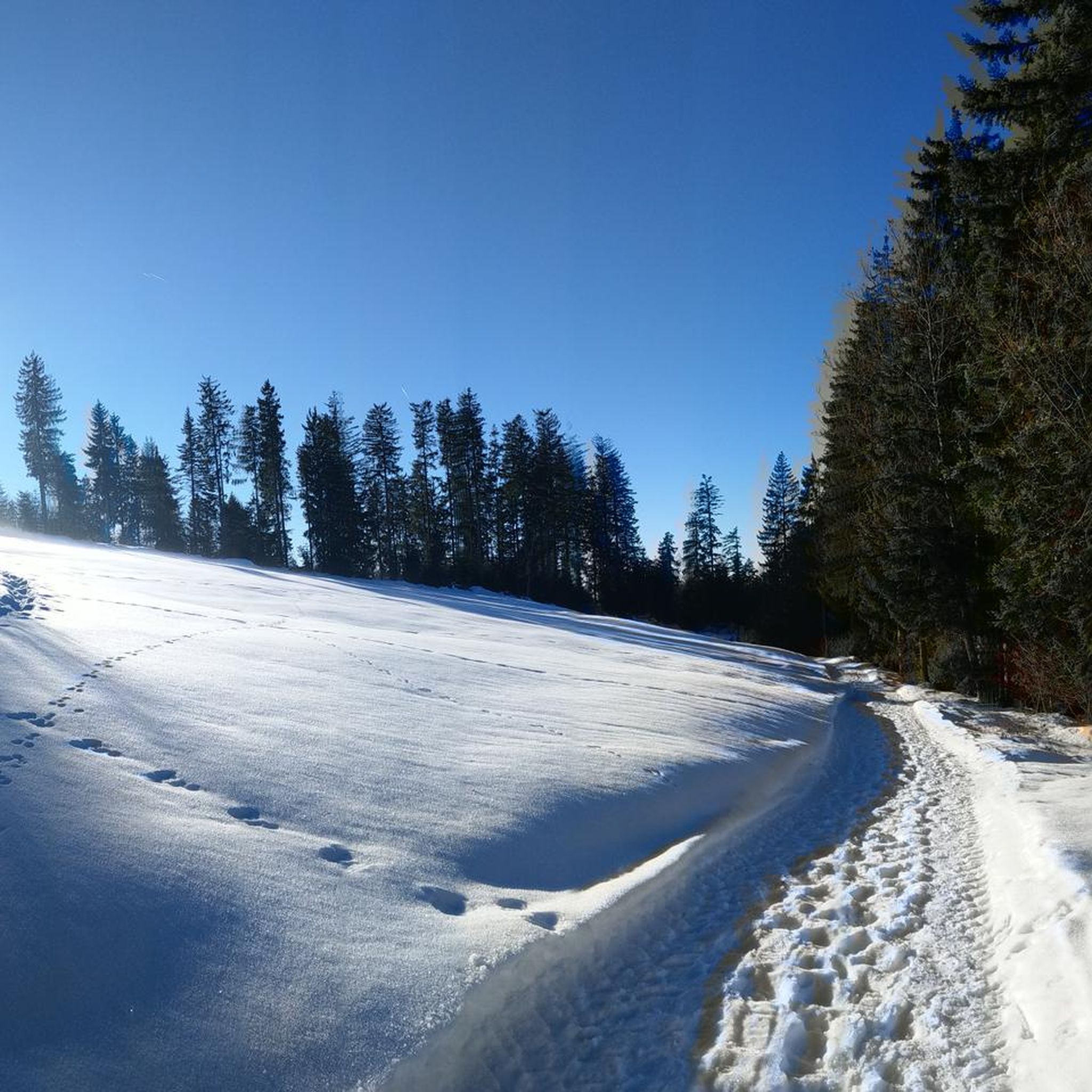
Hikes from bus stations in Bandelier Wilderness

Hikes from bus stations in Valles Caldera National Preserve

Bikepack in America's southwest – deserts, cacti and Anasazi culture
Other adventures in Sandoval County

Tips from the Community

Located near Los Alamos, the Bandelier National Monument is an exceptional place just outside of Santa Fe. The visitor center is coupled with an explanatory museum. The site is just a short walk away. You will visit well-preserved ruins and cliff dwellings. The surrounding nature is just as special, with pine trees and the rushing Frijoles Falls.
0
0

Juniper Campground is just inside the main Bandelier National Monument entrance on the Pajarito Plateau. There are three loops in the campground: Loop A (Abert's Squirrel Loop), Loop B (Black Bear Loop), and Loop C (Coyote Loop). Each loop has a restroom. Here, animals are extra nosey because they have become accustomed to campers leaving food out, so try not to turn your back on your snacks while in the area!
0
0
The Tyuonyi Overlook Trail is 2.2 miles in total and goes from Juniper Campground to Tyuonyi Overlook. The trail highlights are the couple of Frijoles Canyon Overlooks and Tyuonyi Overlook. Different seasons can have different conditions; in the dry season, the trail is susceptible to dust, and the wet season can make the trail muddy.
0
0
Frijoles Canyon Overlook gives hikers a nice view over the vast Frijoles Valley from the Tyuonyi Canyon Overlook Trail. Viewers can look for Pinon-Juniper woodland and Alligator Juniper found in this area from this viewpoint.
0
0
Tyuonyi Overlook is a viewpoint from the turnaround point on the Tyuonyi Overlook Trail that looks down on the Pueblo Dwellings in the valley below. Be careful at the viewpoint, as it has no guard rails and is a steep drop-off.
0
0
The Ferry Trail is about a mile and a half long and takes hikers through forests and open spaces with nice views of the surrounding plateaus and hills. The Ferry Trail is the main connecting trail between the Juniper Campground area and the Bandelier National Monument Visitor Center.
0
0

Tyuonyi Pueblo is the largest ruin in Bandelier National Monument. Once containing over 400 rooms in a two-story structure, this ruin is now just a leveled site but still contains a load of history.
0
0

This alcove is located 140 feet above the floor of Frijoles Canyon and once housed 25 Ancestral Pueblo people. The Alcove House is now accessed by a series of wooden ladders.
0
0
Frequently Asked Questions
How many bus station hiking trails are available in Sandoval County?
Sandoval County offers a selection of over 10 hiking routes directly accessible from bus stations. These trails cater to various skill levels, with 9 easy routes and 2 moderate options, ensuring there's something for everyone to explore.
What is the best time of year to hike from bus stations in Sandoval County?
The diverse landscapes of Sandoval County make it suitable for hiking year-round. Spring and fall offer pleasant temperatures for exploring the high desert and lower elevations. Summer is ideal for higher mountain trails, while winter can provide unique experiences in areas like the Valles Caldera, though some trails might require snowshoes or cross-country skis. Always check local conditions before heading out.
Are there easy bus-accessible hikes for beginners in Sandoval County?
Yes, there are plenty of easy options perfect for beginners. For example, the Main Loop and Alcove House Trail is an easy 4.4 km route with minimal elevation gain, ideal for a relaxed introduction to the area's natural beauty and historical sites.
Are there any circular routes accessible from bus stations?
Absolutely. Many of the bus-accessible trails in Sandoval County are designed as loops, allowing you to experience varied scenery without retracing your steps. A great example is the Pueblo Dwellings – Bandelier National Monument loop from Shuttle Stop, which offers a comprehensive exploration of ancient sites.
What natural attractions can I explore on bus-accessible hikes in Sandoval County?
Sandoval County is rich in natural wonders. Many bus-accessible hikes lead to or pass by significant geological formations and natural monuments. You can explore the unique cone-shaped formations at Kasha-Katuwe Tent Rocks National Monument, or discover the volcanic landscapes and hot springs like Spence Hot Springs ♨ Jemez, New Mexico. The region is also home to the vast Valles Caldera National Preserve, a National Natural Landmark.
Are there any historical or cultural sites accessible via bus station hikes?
Yes, Sandoval County is steeped in history. A prime example is Bandelier National Monument, which preserves the homes and territory of Ancestral Puebloans. Hikes like the Main Loop and Alcove House Trail allow you to explore ancient cliff dwellings and archaeological sites directly from a bus-accessible trailhead.
Are these bus station trails suitable for families with children?
Many of the bus-accessible trails in Sandoval County are family-friendly, especially the 9 easy routes available. These often feature relatively flat terrain and shorter distances, making them enjoyable for all ages. The historical sites at Bandelier National Monument, for instance, offer an engaging experience for children to learn about ancient cultures.
Can I bring my dog on these bus station hiking trails?
Dog policies vary by specific trail and protected area. While some trails in Sandoval County are dog-friendly, others, particularly within National Monuments like Bandelier or Kasha-Katuwe Tent Rocks, may have restrictions or require dogs to be on a leash in designated areas only. Always check the specific regulations for your chosen trail before bringing your pet.
Is parking available near these bus station trailheads?
While these routes are specifically highlighted for their bus accessibility, many trailheads in Sandoval County, including those near bus stops, often have designated parking areas. This provides flexibility for those who might drive to a bus stop and then use public transport to reach a different trailhead or for those who prefer to drive directly. Always check specific trailhead information for parking availability.
What are the typical lengths and difficulties of these bus station hikes?
The bus-accessible hikes in Sandoval County range from easy strolls to moderate treks. You'll find routes as short as 3.4 km, like the Pueblo Dwellings – Bandelier National Monument loop, to longer moderate options such as the Frey Trail, which is about 7.7 km. Most easy routes have minimal elevation gain, while moderate trails might include more significant ascents.
Are there any viewpoints along these bus station trails?
Yes, Sandoval County's diverse topography offers numerous opportunities for stunning views. Trails often lead to overlooks providing panoramic vistas of volcanic landscapes, deep canyons, and expansive mesas. The Tyuonyi Overlook Trail, for instance, offers scenic views of the ancient Pueblo dwellings and the surrounding canyon.
What do other hikers say about the bus station trails in Sandoval County?
The komoot community highly rates the hiking experiences in Sandoval County, with an average score of 4.7 stars from 172 ratings. Hikers frequently praise the unique geological formations, the historical significance of the sites, and the well-maintained trails that offer a peaceful escape into nature.
Are there options for winter hiking from bus stations in Sandoval County?
Winter hiking is definitely an option in Sandoval County, especially in areas that receive less snow or where trails are maintained. Higher elevations, like parts of the Jemez Mountains, might require snowshoes or cross-country skis. Always check weather forecasts and trail conditions, as some bus services or trail access might be limited during heavy snowfall.
Most popular routes in Sandoval County
Most popular attractions in Sandoval County

Get inspired with the komoot mobile app


Didn’t find what you were looking for?
Check out more Hikes throughout Sandoval County below and find the perfect route in your destination.
Explore more
Browse the best Hikes in other regions.
