The best traffic-free bike rides around Saginaw Bay
5.0
(5)
44
riders
4
rides
No traffic touring cycling routes around Saginaw Bay are characterized by a predominantly flat landscape, featuring extensive rail trail networks and scenic waterfront paths. The region encompasses large freshwater coastal wetlands, such as Tobico Marsh, and river corridors, offering diverse natural habitats. Cyclists can expect smooth, paved surfaces that traverse wooded areas, open farmlands, and charming small towns, with minimal elevation changes.
Best no traffic touring cycling routes around Saginaw Bay
- The most popular no traffic touring cycling route is…
Last updated: July 7, 2026
5.0
(1)
6
riders
11.4km
00:42
10m
10m
Easy bike ride. Great for any fitness level. Mostly paved surfaces. Suitable for all skill levels.
5.0
(1)
5
riders
12.1km
00:52
20m
20m
Easy bike ride. Great for any fitness level. Mostly paved surfaces. Suitable for all skill levels.

Sign up for free
2
riders
23.9km
01:25
40m
40m
Easy bike ride. Great for any fitness level. Mostly paved surfaces. Suitable for all skill levels.
7
riders
14.4km
00:54
20m
20m
Easy bike ride. Great for any fitness level. Mostly paved surfaces. Suitable for all skill levels.
Our route recommendations are based on thousands of hikes, rides, and runs completed by other people on komoot.
Start today with a free account
Your next adventure awaits.
Login or Signup
Popular around Saginaw Bay
Other adventures around Saginaw Bay

Tips from the Community

Tawas Point State Park is a scenic peninsula celebrated for its historic lighthouse, sandy beaches, and excellent bird watching. With its graceful name hinting at Native roots, "Tawas" derived from the leader of the Saginaw band of Chippewas, Chief O-taw-as, the spot offers trail-side camping, boardwalks over dunes, and wide lake views perfect for cyclists passing through on nearby-route US-23. Whether you're rolling in for a rest stop or pitching a tent under the stars, this quiet lakeside park is a welcoming escape for bike tourers and nature lovers alike.
0
0
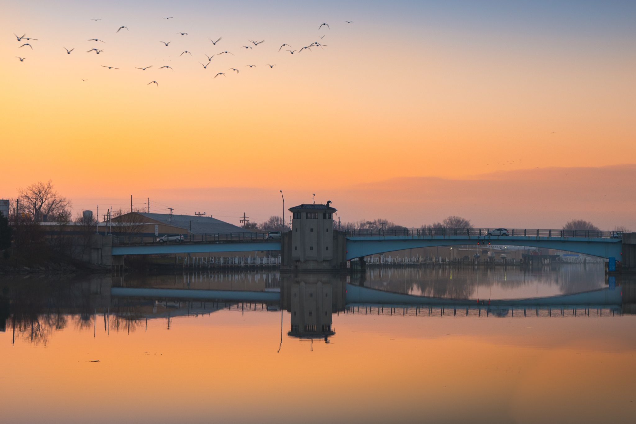
Nestled along the Saginaw River where it joins Saginaw Bay, Bay City sits on land once home to the Sauk, Ojibwa and other Indigenous peoples whose hunting and fishing grounds stretched across the region. Today the city is known for its historic waterfront, lumber-era architecture, and vibrant Great Lakes port heritage. You can visit the rebuilt riverfront, explore antique-filled downtown blocks, and possibly enjoy one of the many festivals the city is known for.
0
0
Set on the southern shore of Saginaw Bay, Bay City State Park offers cyclists a scenic destination with lakeside views, wildlife-rich wetlands, and easy beach access. The park protects the Tobico Marsh, one of the largest remaining freshwater wetlands on the Great Lakes, making it a prime spot for birdwatching and quiet explorations through oak savannah, meadow, and marsh. A modern campground provides a convenient overnight option for bike tourers, with hot showers, shaded sites, and quick access to trails and the shoreline.
0
0
Frequently Asked Questions
How many no traffic touring cycling routes are available in Saginaw Bay?
There are 5 dedicated no traffic touring cycling routes around Saginaw Bay featured in this guide, all of which are rated as easy. These routes are perfect for enjoying the region's scenic beauty without vehicle interference.
What kind of terrain can I expect on the no traffic touring cycling routes around Saginaw Bay?
The no traffic touring cycling routes in Saginaw Bay primarily utilize extensive paved rail trails and scenic pathways. You can expect smooth surfaces, ideal for touring bikes, passing through varied landscapes including wooded areas, open farmlands, and charming small towns. Many routes also offer picturesque waterfront views along the Saginaw River and Saginaw Bay.
Are there family-friendly no traffic touring cycling routes in Saginaw Bay?
Yes, all the routes featured in this guide are rated as easy, making them highly suitable for families. The smooth, paved surfaces and absence of vehicle traffic ensure a safe and enjoyable experience for cyclists of all ages. Routes like the Bay City State Park loop from Bangor Township are particularly popular for their accessibility and scenic views.
What are some notable natural features or landmarks I can see along these routes?
Many routes offer stunning natural views. For example, the Bay City State Park loop from Bangor Township provides access to Tobico Marsh, one of the largest freshwater coastal wetlands on the Great Lakes, known for exceptional birdwatching. You'll also find beautiful waterfront vistas along the Saginaw River and Saginaw Bay on routes like the Bay City loop from Bay City Town Center.
Are there any circular no traffic touring cycling routes in the Saginaw Bay area?
Yes, several routes in this guide are circular, allowing you to start and end at the same point. Examples include the Tawas Point State Park loop from East Tawas, the Bay City State Park loop from Bangor Township, and the Bay City loop from Bay City Town Center. These loops offer convenient options for exploring the region.
Where can I find parking for these no traffic cycling routes?
Many of the no traffic routes, especially those utilizing rail trails and state parks, offer designated parking areas at their trailheads. For instance, routes around Bay City State Park or those starting from town centers like Bay City typically have accessible parking facilities nearby. It's always advisable to check local signage for specific parking regulations.
What is the best time of year to go touring cycling in Saginaw Bay?
The spring, summer, and fall months generally offer the best conditions for touring cycling in Saginaw Bay. During these seasons, the weather is typically mild and pleasant, and the natural landscapes are vibrant. Summer provides warm temperatures perfect for waterfront rides, while fall brings beautiful foliage along the trails.
Are there places to eat or stay near the no traffic cycling routes?
Yes, the Saginaw Bay area is well-equipped with amenities. Routes passing through or near towns like Bay City offer access to various cafes, restaurants, and accommodation options. Bay City State Park, for example, provides a modern campground for overnight stays, and the nearby Bavarian-themed village of Frankenmuth also offers unique dining and lodging experiences.
How long are the no traffic touring cycling routes in this guide?
The routes in this guide vary in length, offering options for different preferences. The shortest route is the Tawas Point State Park loop from East Tawas at approximately 11.4 km (7.1 miles), while the longest is the Bridge Over Kawkawlin River – Bay City State Park loop from Bay City, spanning about 25.9 km (16.1 miles).
What do other touring cyclists enjoy most about cycling in Saginaw Bay?
The Saginaw Bay area is highly rated by the komoot community, with an average score of 5.0 stars. Reviewers often praise the region's extensive network of paved, car-free trails, the stunning waterfront views, and the peaceful natural settings, especially within areas like Tobico Marsh. The ease of access and family-friendly nature of the routes are also frequently highlighted.
Can I access public transport near these cycling routes?
While specific public transport options directly at every trailhead may vary, major towns like Bay City, which serve as starting points for several routes, typically have local public transport services. It's recommended to check the local transit authority's website for routes and schedules if you plan to use public transport to reach the trailheads.
Most popular routes around Saginaw Bay

Get inspired with the komoot mobile app


Explore more
Browse the best Cycling routes in other regions.
