The best traffic-free bike rides around Sierra De Cazorla
4.8
(5)
114
riders
18
rides
No traffic gravel bike trails around Sierra De Cazorla traverse Spain's largest protected natural area, a UNESCO Biosphere Reserve characterized by rugged mountains, extensive pine forests, and high plateaus. The region features a network of smooth gravel and dirt roads, ideal for exploring its diverse landscapes. Prominent features include the source of the Guadalquivir and Segura rivers, along with significant reservoirs and dramatic gorges.
Best no traffic gravel bike trails around Sierra De Cazorla
- The most popular no traffic gravel bike trail is Gorafe Desert – Puntal de Don Diego Viewpoint loop from Central Hidroeléctrica de Negratín, a 68.3 miles (109.9 km) trail that takes 8 hours 37 minutes to complete. This difficult route offers expansive views across the Gorafe Desert.
- Another top favourite among local gravel bikers is Gorafe Desert – Puntal de Don Diego Viewpoint loop from Playa de Freila, a difficult 41.0 miles (66.0 km) path. This route explores the unique desert landscape and offers distant viewpoints.
- Local gravel bikers also love the Cazorla – Collado Zamora Refuge loop from Cazorla, a 38.2 miles (61.5 km) trail leading through mountain terrain and forests, often completed in about 4 hours 57 minutes.
- Gravel biking around Sierra De Cazorla is defined by extensive pine forests, scenic reservoirs like El Tranco, and challenging mountain passes. The network offers options for various fitness levels, from long-distance routes to shorter explorations of the natural park.
- The routes in Sierra De Cazorla are highly rated by the komoot community with an average score of 5.0 stars from 2 reviews. More than 80 gravel bikers have used komoot to explore Sierra De Cazorla's varied terrain.
Last updated: October 10, 2026
7
riders
66.0km
05:30
1,320m
1,320m
Hard gravel ride. Very good fitness required. Mostly paved surfaces. Suitable for all skill levels.
16
riders
61.5km
04:55
1,510m
1,510m
Hard gravel ride. Very good fitness required. Mostly paved surfaces. Suitable for all skill levels.

5.0
(1)
11
riders
56.3km
04:11
900m
900m
Hard gravel ride. Very good fitness required. Mostly paved surfaces. Suitable for all skill levels.
1
riders
72.0km
06:17
2,020m
2,010m
Hard gravel ride. Very good fitness required. Mostly paved surfaces. Suitable for all skill levels.
5
riders
36.5km
02:45
620m
620m
Hard gravel ride. Very good fitness required. Mostly paved surfaces. Suitable for all skill levels.
Get access to more routes and recommendations from other explorers.
Already have an account?
Our route recommendations are based on thousands of hikes, rides, and runs completed by other people on komoot.
Start today with a free account
Your next adventure awaits.
Popular around Sierra De Cazorla

Traffic-free bike rides around Pozo Alcón

Traffic-free bike rides around Quesada

Traffic-free bike rides around Huesa

Traffic-free bike rides around Cazorla

Traffic-free bike rides around Peal De Becerro

Traffic-free bike rides around La Iruela
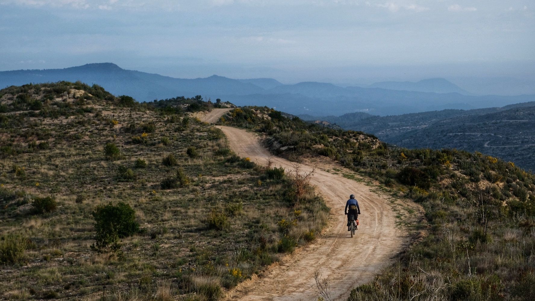
European Divide Trail — 7,600 km across the continent
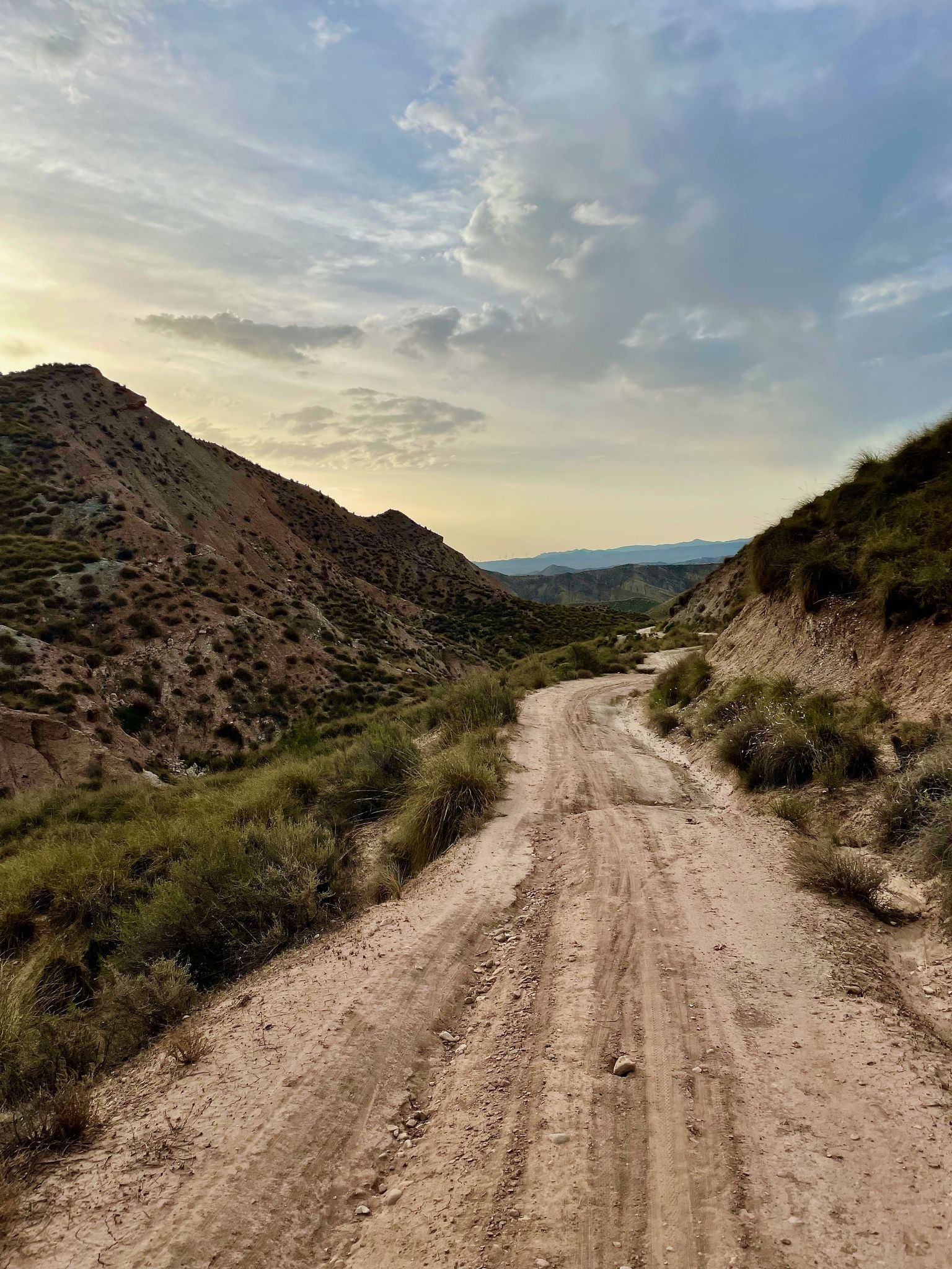
Badlands 2021 — 750km of gravel in the Spanish deserts
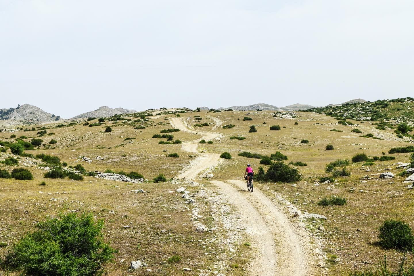
Bikepacking the mountains and deserts of Andalucía
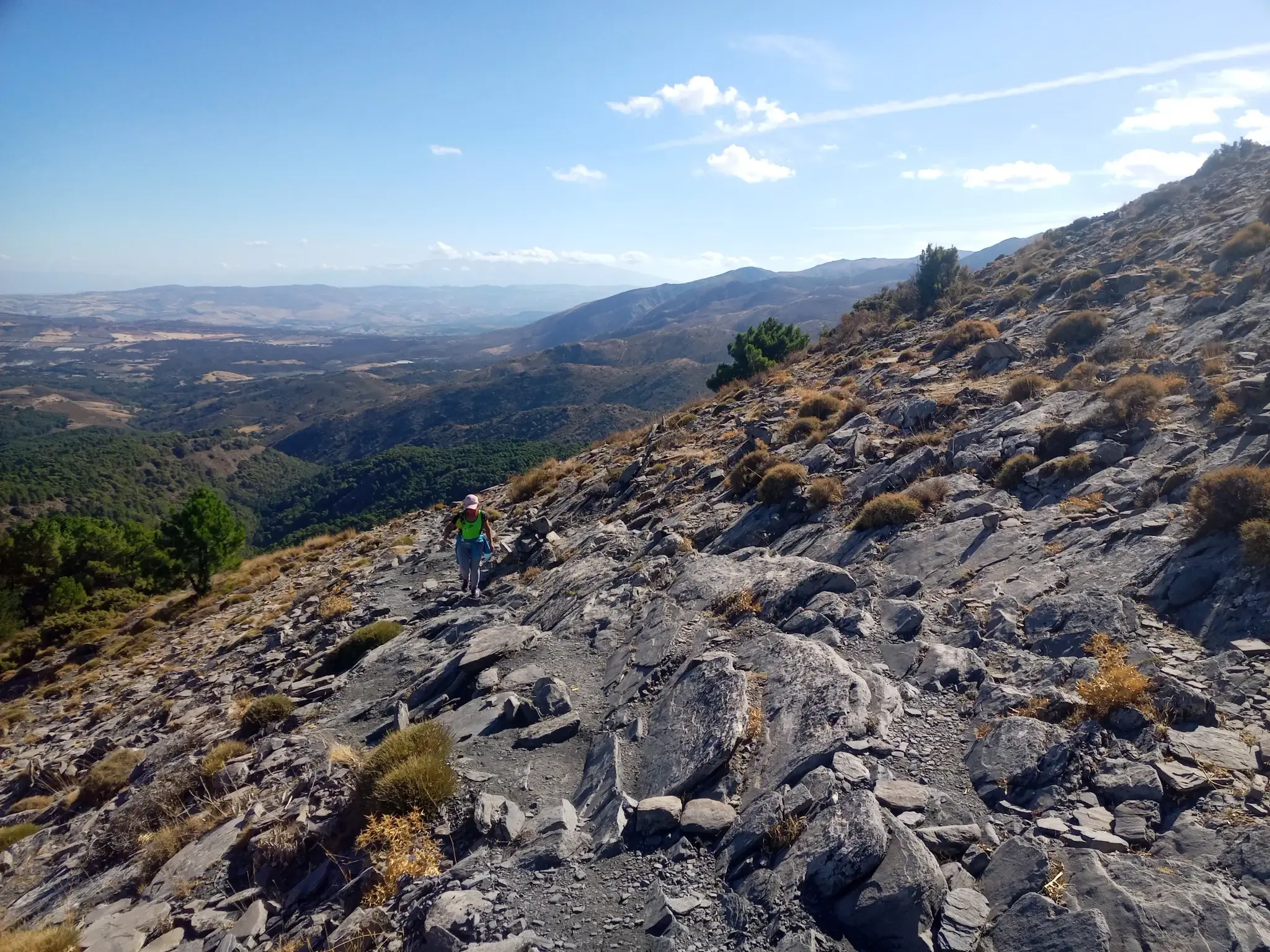
12 hiking gems throughout Spain
Other adventures around Sierra De Cazorla


Tips from the Community

too bad this refuge is disgusting
0
0

El Refugio del Collado Zamora (often associated with the route to Gilillo) is a rehabilitated forest refuge located in the Sierra de Cazorla, key to the GR-247 trail. It is frequently used as a starting point or stopover to ascend to Gilillo or connect to areas such as Cuerda del Gilillo.
0
0

Added to the collection: https://www.komoot.com/de-de/collection/3600632/-naturdenkmaeler-besondere-baeume-und-weitere-schaetze-der-natur
0
0

The Guadahortuna River is an important waterway in the Granada region. The river rises in Montejícar and flows through several municipalities, including Alicún de Ortega, before finally flowing into the Guadiana Menor River. The name "Guadahortuna" means "River of Fortuna" and has its origins in Moorish times. The area served as a border area during the Middle Ages, where Christian troops drove out the Moors.
7
0
Small extended viewpoint with two benches and the coat of arms of Alicun de Ortega.
7
0
The church is now in a pitiful state. I could not find out whether this is permanent or whether they are going to restore it.
7
0
The church was built in the 16th century, during the Reconquista period. The church has undergone several restorations to preserve its original Mudéjar style and ensure its structural integrity. The church is built in the Mudéjar style, a unique combination of Islamic and Christian architecture typical of the region. The building has a basilica design with a single nave and a wooden ceiling (artesonado) typical of Mudéjar architecture. The interior is decorated with beautiful religious artwork and paintings that highlight the rich religious tradition of the church. The church is an important heritage site for Dehesas de Guadix and attracts visitors for its historical and architectural value.
7
0
Dehesas de Guadix is a small municipality. It is located in the northeast of the comarca of Los Montes and has an area of approximately 57 km²1. The municipality has approximately 426 inhabitants (2016). The history of Dehesas de Guadix goes back to the time of the Reconquista, when the kings of Spain reconquered the area from the Moors. The village was officially founded in the 15th century, when Don Diego Fernández de Iranzo received the land from the kings. One of the most remarkable features of Dehesas de Guadix is the troglodyte dwellings, which are typical of the region. These underground houses are built into the rocks and offer a unique glimpse into the traditional architecture of the area.
7
0
Frequently Asked Questions
How many no-traffic gravel bike trails are available in Sierra De Cazorla?
There are over 9 dedicated no-traffic gravel bike trails in Sierra De Cazorla featured in this guide, offering a variety of experiences across the region's stunning landscapes. Most of these routes are considered difficult, providing a challenging yet rewarding ride.
What kind of terrain can I expect on the no-traffic gravel bike trails in Sierra De Cazorla?
You'll encounter a diverse range of terrain, from smooth gravel and dirt roads to more rugged 4WD trails. The region is characterized by spectacular mountain scenery, pine forests, and alpine plateaus, so expect varied surfaces and significant elevation changes on many routes.
When is the best time of year to go gravel biking in Sierra De Cazorla to enjoy quiet roads?
The Sierra de Cazorla region is generally welcoming for bikers, but for the quietest experience, spring (April-May) and autumn (September-October) are ideal. The weather is typically milder, and you'll avoid the peak summer tourist season, ensuring more secluded rides on the gravel tracks.
Are there any waterfalls I can visit along the no-traffic gravel bike trails?
Yes, the region is home to several beautiful waterfalls. You might encounter the impressive Salto de los Órganos Waterfall, known for its crystalline turquoise pool, or the picturesque Pilón Azul Waterfall. The Elías Gorge also features a winding path with geological richness leading to stunning water features.
What historical sites or landmarks can I explore while gravel biking in Sierra De Cazorla?
The area is rich in history. You can find charming whitewashed villages and ancient defensive structures. For instance, the La Yedra Castle offers commanding views, and the Ruins of the Church of Santa María in Cazorla itself are a notable landmark.
Are there options for circular no-traffic gravel bike routes in Sierra De Cazorla?
Yes, many of the gravel routes in Sierra De Cazorla are designed as loops, allowing you to start and finish at the same point. For example, the "Cazorla – Collado Zamora Refuge loop from Cazorla" offers a substantial circular ride through the landscape.
Is parking available near the trailheads for these secluded gravel bike routes?
While specific parking details vary by trailhead, many routes in Sierra De Cazorla start from or pass through small villages or designated natural park access points where parking is typically available. It's advisable to check the individual route descriptions for the most precise parking information.
What do other gravel bikers enjoy most about the no-traffic trails in Sierra De Cazorla?
The komoot community highly rates the gravel biking experience in Sierra De Cazorla, with an average score of 5.0 stars. Reviewers often praise the region's spectacular mountain scenery, the extensive network of quiet gravel and dirt roads, and the abundant opportunities for wildlife spotting in this UNESCO Biosphere Reserve.
Are there any particularly scenic viewpoints along the no-traffic gravel bike routes?
Absolutely. The Sierra de Cazorla boasts breathtaking panoramic views. High peaks like Empanadas (2107m) and Gilillo Peak (1848m) offer stunning vistas. The Gorafe Desert – Puntal de Don Diego Viewpoint loop, for instance, includes a viewpoint that provides expansive desert landscapes.
Can I find cafes or places to refuel near the no-traffic gravel bike routes?
Yes, the region has a welcoming environment for bikers. Many routes pass through or start near small Spanish villages where you can find cafes, restaurants, and refugios to refuel and refresh. The town of Cazorla itself is a great base with amenities.
Are there any routes that explore the unique desert landscapes of the region?
Yes, some routes venture into the fascinating desert landscapes adjacent to the main park. The "Gorafe Desert – Gorafe Desert loop from Playa de Freila" is a prime example, offering a unique contrast to the pine forests and mountains, with minimal traffic.
Most popular routes around Sierra De Cazorla
Most popular attractions around Sierra De Cazorla

Get inspired with the komoot mobile app


Didn’t find what you were looking for?
Check out more Gravel rides throughout Sierra De Cazorla below and find the perfect route in your destination.
Explore more
Browse the best Gravel rides in other regions.
