The best hikes from bus stations around Campo De Cartagena
4.4
(5232)
30,822
hikers
355
hikes
Bus station hiking trails around Campo De Cartagena offer access to a diverse landscape characterized by varied coastlines, rugged hills, and unique geological formations. The region features extensive sandy beaches, secluded coves, and rocky cliffs, alongside inland areas with mountain ranges like the Sierra de la Muela. Hikers can explore ancient fossil dunes and saltwater marshes, providing a range of natural environments.
Best bus station hiking trails around Campo De Cartagena
- The most popular bus station hiking route is Beaches…
Last updated: October 20, 2026
4.6
(54)
306
hikers
4.53km
01:10
20m
20m
Easy hike. Great for any fitness level. Easily-accessible paths. Suitable for all skill levels.
4.2
(25)
74
hikers
Hike a moderate 9.1-mile loop in Regional Park Sierra de la Muela, offering coastal views and historical sites like the Atalayón Battery.

4.8
(18)
46
hikers
11.5km
03:06
150m
150m
Moderate hike. Good fitness required. Easily-accessible paths. Suitable for all skill levels.
5.0
(2)
52
hikers
12.2km
03:06
30m
30m
Hike 7.6 miles (12.2 km) in La Manga del Mar Menor, enjoying panoramic views of the Mar Menor lagoon and Mediterranean Sea.
4.0
(8)
19
hikers
17.9km
04:56
300m
310m
Moderate hike. Good fitness required. Easily-accessible paths. Suitable for all skill levels.
Get access to more routes and recommendations from other explorers.
Already have an account?
Our route recommendations are based on thousands of hikes, rides, and runs completed by other people on komoot.
Start today with a free account
Your next adventure awaits.
Popular around Campo De Cartagena

Hikes from bus stations around National Park Sierra de la Muela, Cabo Tiñoso y Roldán

Hikes from bus stations around National Park Calblanque, Monte de las Cenizas y Peña del Águila

Hikes from bus stations in Calblanque, Monte De Las Cenizas Y Peña Del Águila
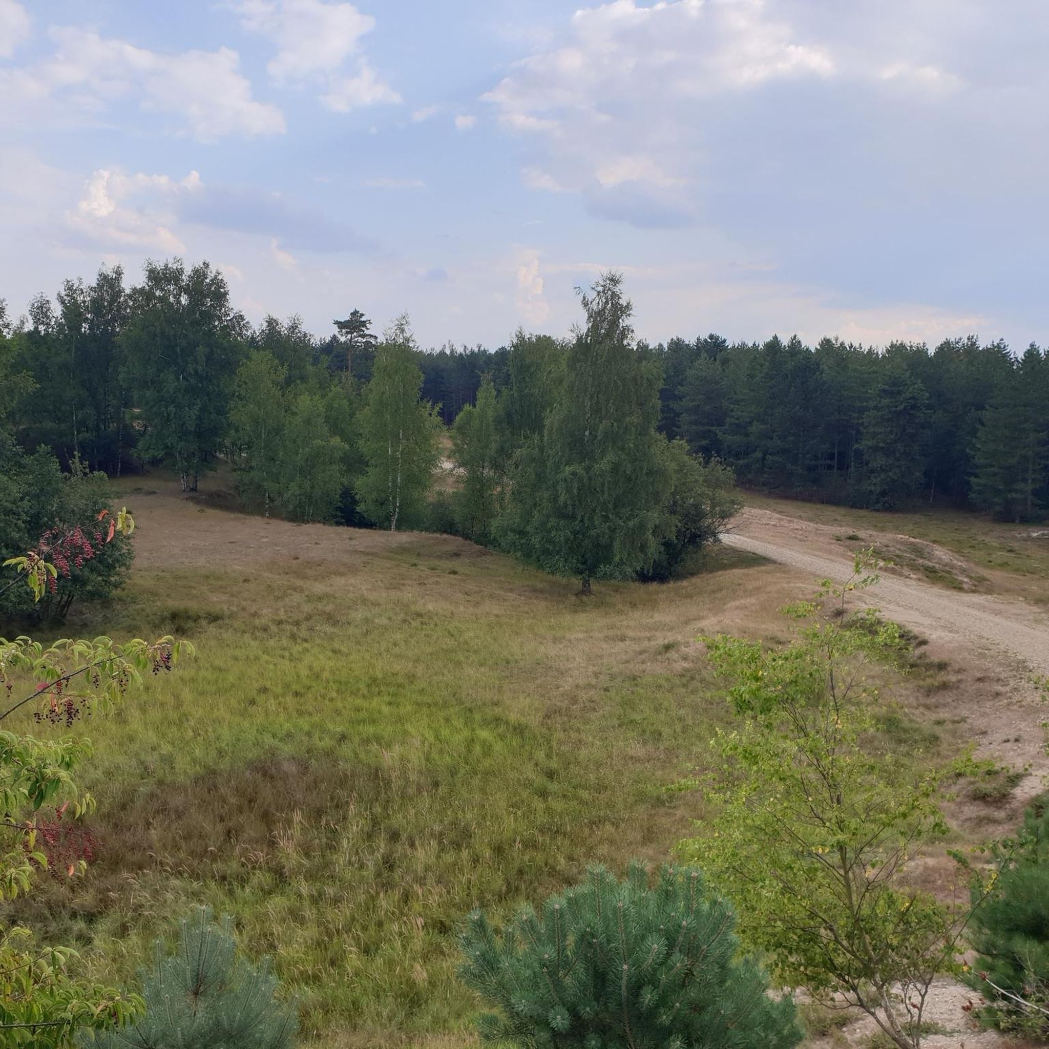
Hikes from bus stations in Salinas De Marchamalo

Hikes from bus stations in Salinas Y Arenales De San Pedro Del Pinatar

Hikes from bus stations around ZEPA Salinas y Arenales de San Pedro del Pinatar

Hikes from bus stations in Cabezo Gordo
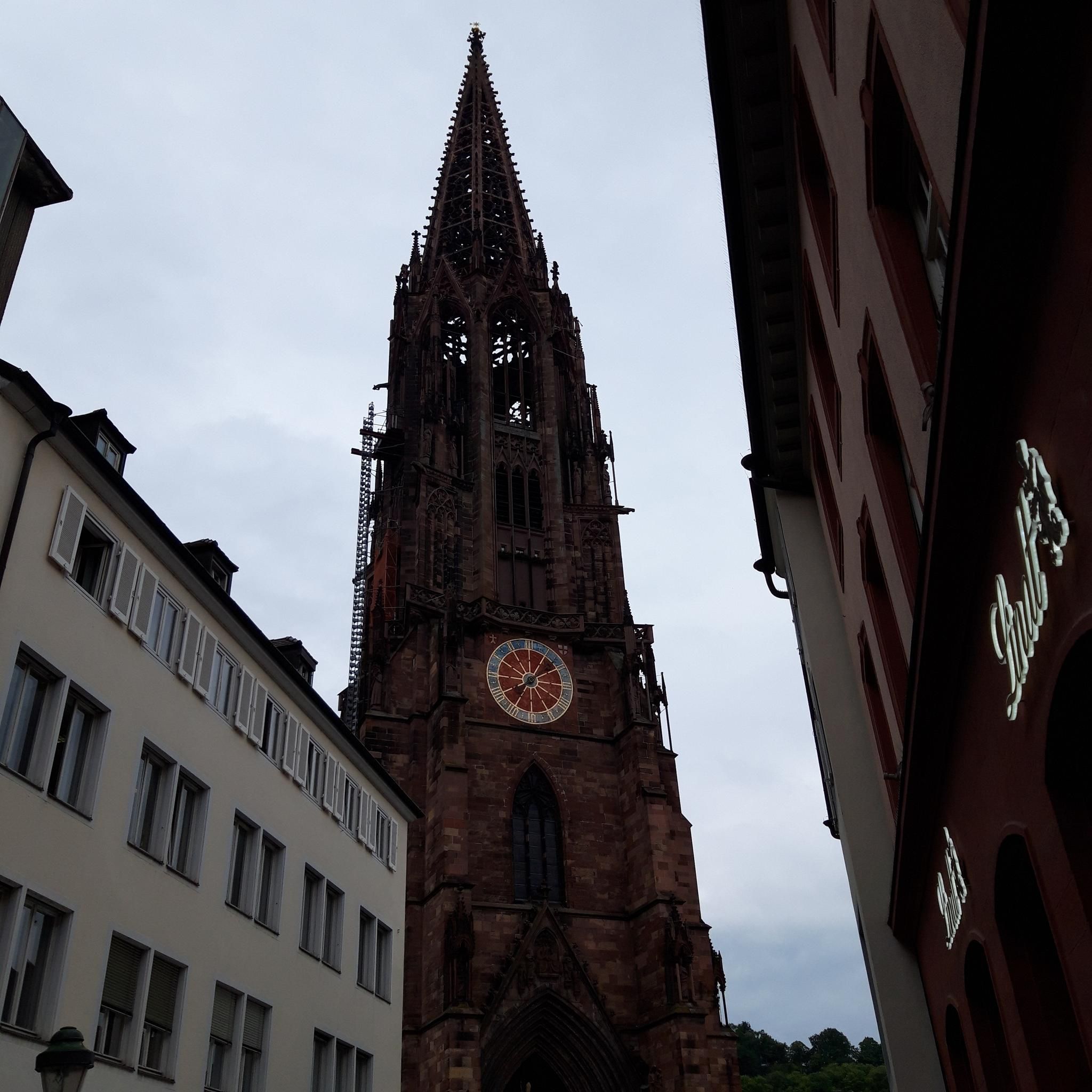
Hikes from bus stations in Zepa Sierra De La Fausilla

Hikes from bus stations in Saladar De Lo Poyo
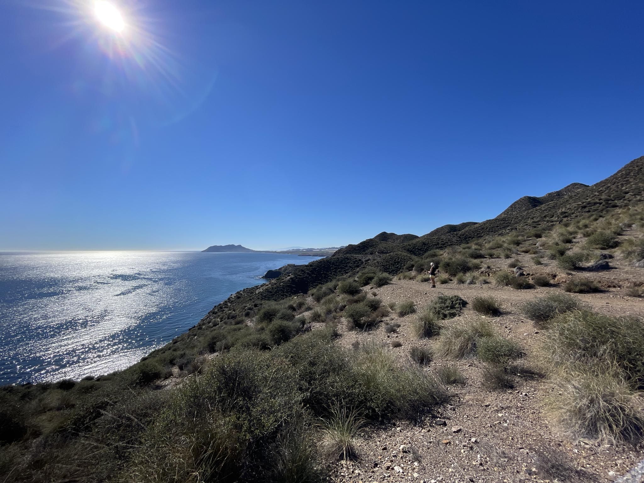
Mediterranean industry and nature – hike the GR 92 in Murcia
Other adventures around Campo De Cartagena


Tips from the Community


Quiet beach, ideal for small children as it has hardly any waves.
0
0

This is definitely worth the extra effort to ride upto the lighthouse
0
0

The Cabo de Palos Lighthouse is an impressive local landmark. It stands on a rocky headland on the Mediterranean coast, close to the town of Cabo de Palos and near the popular holiday region of La Manga del Mar Menor. The lighthouse is visible from afar and attracts many visitors. The lighthouse was commissioned in 1865 and stands on a site that has been used by sailors for centuries. In ancient times there was a watchtower there to monitor the coast. The lighthouse itself is not open to the public, but it is possible to drive up to the top and visit the outside area. From there you have spectacular views over the rocky coastline and the sparkling Mediterranean Sea.
2
0

Small pretty bridge made of stone
1
1
A nice walk around the lighthouse
3
0

Nice place to visit. Great view over Cabo de Palos.
0
0
Frequently Asked Questions
How many bus station hiking trails are available in Campo De Cartagena?
There are over 300 hiking trails in Campo De Cartagena that are accessible from bus stations, offering a wide variety of experiences for all skill levels.
What kind of landscapes can I expect on bus-accessible hikes in Campo De Cartagena?
The bus-accessible trails in Campo De Cartagena offer incredibly diverse landscapes. You can explore over 13 km of varied coastline with rocky cliffs, expansive sandy beaches, and secluded coves, particularly in areas like Calblanque, Monte de las Cenizas y Peña del Águila Regional Park, and around Cabo de Palos. Inland, you'll find rugged hills and mountain ranges such as the Sierra de la Muela, Cabo Tiñoso y Roldán, and unique geological formations like ancient fossil dunes and saltwater marshes near Calblanque Regional Park and the Marchamalo Salt Flats.
Are there easy trails accessible by bus for beginners or casual walkers?
Yes, Campo De Cartagena offers many easy trails accessible by bus. Out of the over 300 available routes, more than 140 are classified as easy. An excellent option for a relaxed coastal walk is the Beaches and coves of Cabo de Palos — Circular Tour, which is just over 4.5 km long with minimal elevation gain.
Can I find circular hiking routes that start and end at a bus station?
Absolutely. Many of the bus-accessible trails in Campo De Cartagena are circular, allowing you to return to your starting point without needing additional transport. For example, the Regional Park Sierra de la Muela, Cabo Tiños y Roldán — Circular to Cabezo del Atalayón offers a moderate 14.7 km loop with stunning views, and the The Santa Barbara Ports Trail (Circular PR-MU 106) is another great moderate circular option.
Are there any historical or natural landmarks I can visit on these bus-accessible trails?
Yes, many bus-accessible trails lead to or pass by significant landmarks. You can explore historical military installations like the Cenizas Coastal Battery within Calblanque Regional Park, or visit the Batería de Castillitos. Other notable sites include the Punic Wall in Cartagena, or the Monument to the Heroes of Cavite and Santiago de Cuba. The region also features unique natural formations like fossil dunes and salt flats.
What do other hikers enjoy most about hiking in Campo De Cartagena?
The komoot community highly rates hiking in Campo De Cartagena, with an average score of 4.36 stars from over 4,200 ratings. Hikers frequently praise the diverse coastal and mountainous landscapes, the well-preserved natural parks, and the opportunity to combine outdoor activity with visits to historical sites and unique geological features.
Are the bus station hiking trails in Campo De Cartagena suitable for families?
Yes, many bus-accessible trails in Campo De Cartagena are suitable for families, especially the easier routes. The diverse landscapes, including beaches and gentle coastal paths, provide engaging environments for children. Look for trails classified as 'easy' for the most family-friendly options.
Can I bring my dog on these bus-accessible hikes?
Many trails in Campo De Cartagena are dog-friendly, particularly in natural parks and along coastal paths. However, it's always recommended to check specific park regulations or trail guidelines, as some protected areas might have restrictions on dogs, especially during nesting seasons or in certain sensitive habitats. Always keep your dog on a leash and clean up after them.
What is the best time of year to hike the bus-accessible trails in Campo De Cartagena?
The best time to hike in Campo De Cartagena is typically during the spring (March to May) and autumn (September to November). During these seasons, the weather is mild and pleasant, making it ideal for exploring both coastal and inland routes. Summers can be very hot, especially for longer hikes, while winters are generally mild but can have occasional rain.
Are there any trails that offer shade for hiking during warmer months?
While many coastal trails can be exposed, some routes, particularly those venturing into the mountainous terrain of regional parks like Sierra de la Muela, Cabo Tiñoso y Roldán, may offer more shaded sections due to tree cover or varied topography. For example, the The Water Trail of Perín (Circular PR-MU 115), a moderate 17.8 km route, might offer some relief with its varied terrain. It's always advisable to start early and carry plenty of water during warmer periods.
Are there any trails that lead to unique natural features like fossil dunes or salt flats?
Yes, you can find trails that showcase the region's unique geological formations. Calblanque Regional Park, accessible by bus, is renowned for its ancient fossil dunes and saltwater marshes. Similarly, areas near the Marchamalo Salt Flats and the Salinas y Arenales de San Pedro del Pinatar Nature Reserve feature historic salt mills and unique ecosystems, offering distinct natural experiences.
Most popular routes around Campo De Cartagena
Most popular attractions around Campo De Cartagena

Get inspired with the komoot mobile app


Didn’t find what you were looking for?
Check out more Hikes throughout Campo De Cartagena below and find the perfect route in your destination.
Explore more
Browse the best Hikes in other regions.
