The best hikes from bus stations around Centro
4.5
(270)
2,599
hikers
199
hikes
Bus station hiking trails around Centro offer access to a diverse landscape characterized by river valleys, gentle plains, and pine forests. The region features routes along significant waterways like the Pisuerga and Duero rivers, providing flat to moderately undulating terrain. Elevation changes are generally modest, making many trails accessible for various fitness levels. The area's natural features include riverine ecosystems and cultivated landscapes, ideal for relaxed exploration.
Best bus station hiking trails around Centro
- The most popular bus station hiking…
Last updated: October 10, 2026
4.5
(13)
57
hikers
11.2km
03:11
240m
240m
Hike the 7.0-mile Senda de los Cortados Trail, a moderate circular route near Valladolid, featuring dramatic cliffs and river views.
5.0
(1)
12
hikers
6.02km
01:39
100m
100m
Hike the easy 3.7-mile Camino de Vecilla (PRC-VA 16) circular trail from Cabezón de Pisuerga, featuring river views and wineries.

12
hikers
Moderate hike. Good fitness required. Easily-accessible paths. Suitable for all skill levels.
4.0
(1)
7
hikers
18.4km
04:40
50m
50m
Hike a moderate 11.4-mile (18.4 km) circular route from Quintanilla de Onésimo, exploring the Duero River banks, vineyards, and historical l
2
hikers
13.5km
02:44
30m
30m
Moderate hike. Good fitness required. Mostly accessible paths. Sure-footedness required.
Get access to more routes and recommendations from other explorers.
Already have an account?
Our route recommendations are based on thousands of hikes, rides, and runs completed by other people on komoot.
Start today with a free account
Your next adventure awaits.


Tips from the Community


It is a very worthwhile route. From what we have seen when doing it, there is a change in the route right at the viewpoint. Currently, the markings indicate that you have to continue along the path with the large green fence, which then joins up again with the path indicated on the route, it is like a shortcut. As a tip, if it has frozen or rained, wear good mountain footwear that allows you to climb muddy slopes, since there is one quite steep one that, with mud, is difficult to climb. Otherwise, a very pleasant route, not very long and with beautiful landscapes.
1
0

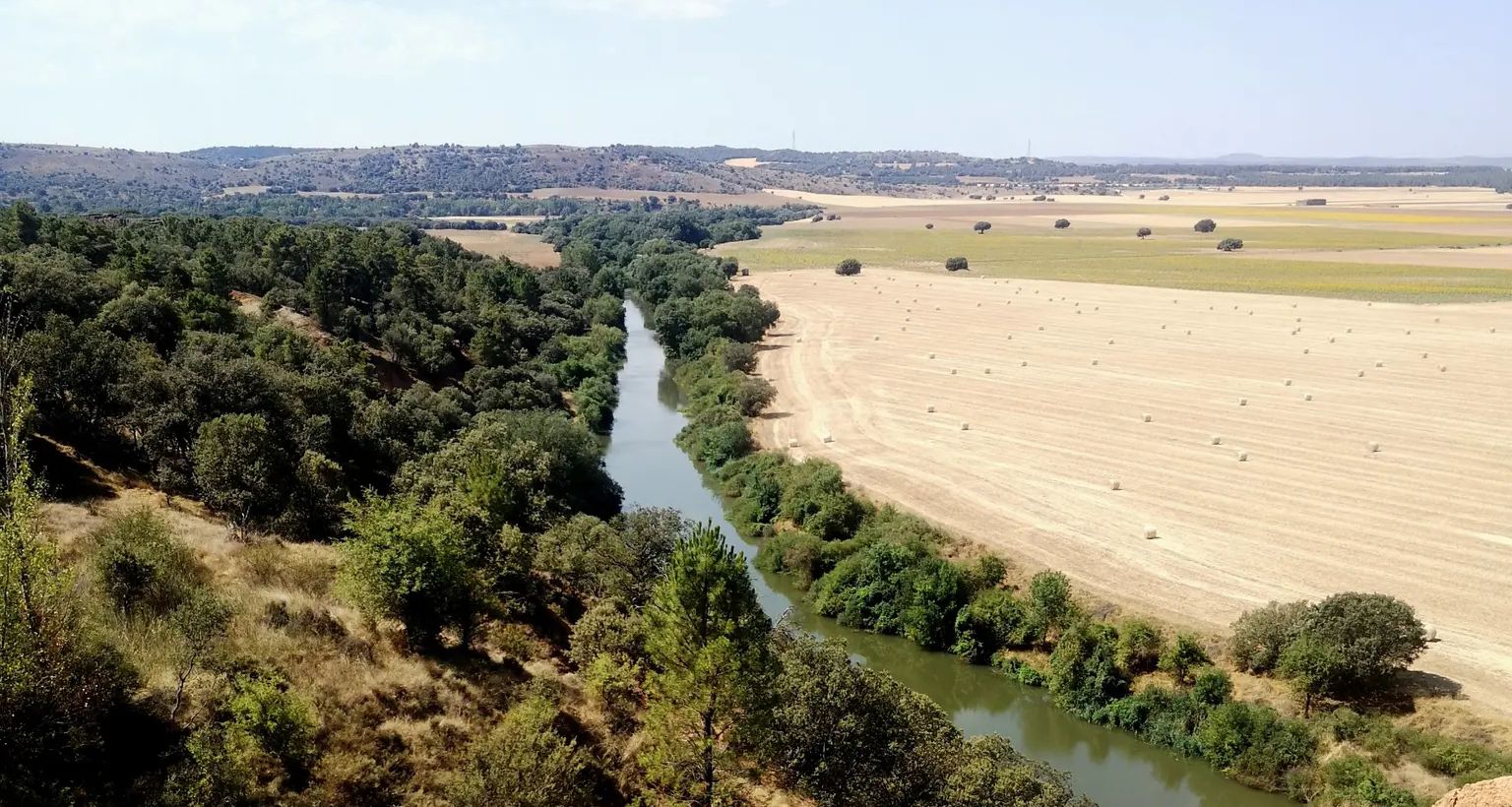
One of the points where the Canal and the Pisuerga River approach each other without meeting.
1
0

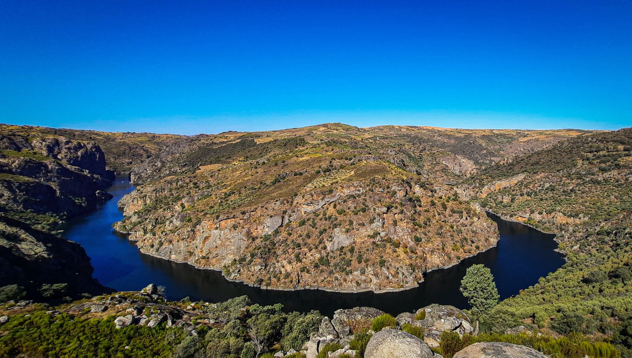
The Mirador de los Cortados is an impressive place that offers panoramic views in the province of Valladolid, near the municipality of Cabezón de Pisuerga. The viewpoint is located on the Senda de los Cortados, a hiking route that runs through the province of Valladolid. From this point, you can enjoy spectacular views of the Pisuerga Valley.
3
0

Less known than the Antequera pine forest, but no less beautiful. A beautiful place that allows you to enjoy the smell of pine, very close to Valladolid. If you go a little further from Puente de Duero, you can reach an unpopulated area called Aniaga, where you can visit the ruins of the charterhouse of Nuestra Señora de Aniago, a monastery founded in 1441.
1
1

Sardón de Duero, a wine-growing town where the 16th century Church of San Juan Bautista stands out with its stone architecture with a single nave and a main chapel with a ribbed vault. About two kilometers away is the Monastery of Santa María de Retuerta, a Romanesque building from the 12th century with a cloister renovated in the 16th century.
2
0
A historical jewel reformed in the 16th century on previous structures of the bridge of Roman origin that connected the Roman road between Asturica Augusta and Clunia. It stands out for its arches. It is an emblematic crossing point that connects the town and represents an important part of the architectural heritage of the region.
1
0
Architectural treasure from the 16th century IN the Gothic style that stands out for its elegant doorway and its spacious interior. Its stone walls keep centuries of history and its main altarpiece is an impressive work of art. The church is a place of devotion and charm, where you can appreciate the beauty of religious art.
1
0
Frequently Asked Questions
How many bus station hiking trails are available in Centro?
There are over 170 hiking trails around Centro that are accessible from bus stations. This includes a wide range of options, with 78 easy routes, 93 moderate routes, and a few more challenging trails, ensuring there's something for every skill level.
Are there any easy or beginner-friendly hikes accessible by bus in Centro?
Yes, Centro offers many easy and beginner-friendly hikes. With 78 routes classified as easy, you'll find plenty of gentle paths. A great option is the Vecilla Trail, which is just over 6 km long with minimal elevation gain, making it perfect for a relaxed outing.
What kind of natural attractions can I expect to see along bus-accessible trails in Centro?
The trails around Centro offer diverse natural beauty. You can discover stunning viewpoints like the Mirador de los Cortados, tranquil spots like the Pond and Viewpoint in Campo Grande Park, and scenic river views such as the View of the Pisuerga River from the Cabezón Cliffs. The region is known for its varied landscapes, from river valleys to more rugged terrain.
Are there any historical landmarks or castles near the bus station hiking trails?
Absolutely! Centro is rich in history. Many trails pass near impressive historical sites. You can explore castles such as Fuensaldaña Castle, Castillo de Simancas, or the Villafuerte de Esgueva Castle. These historical elements add a unique cultural dimension to your hiking experience.
Are there any circular hiking routes accessible by bus from Centro?
Yes, there are several circular routes available. For example, the Pinar de Esparragal — circular desde Puente de Duero offers a pleasant loop through pine forests, starting and ending conveniently near a bus stop. Circular routes are great for experiencing varied scenery without retracing your steps.
What is the best time of year to go hiking from bus stations in Centro?
Centro offers great hiking opportunities throughout much of the year. Spring and autumn generally provide the most pleasant weather, with mild temperatures and beautiful natural colors. Summer can be warm, especially in Central Brazil or parts of Central Italy, so early mornings or late afternoons are best. Winter hiking is possible in some areas, particularly in regions like Serra da Estrela in Portugal or the Apennine Mountains in Italy, but requires appropriate gear for colder conditions.
Are the bus-accessible trails in Centro suitable for families with children?
Many trails in Centro are family-friendly, especially the 78 easy routes. Look for paths with shorter distances and minimal elevation gain. The Vecilla Trail is a good example of an easy route that families can enjoy together. Always check the route details for distance and difficulty to ensure it's appropriate for your family's fitness level.
What do other hikers enjoy most about hiking in Centro?
The hiking experiences in Centro are highly rated by the komoot community, with an average score of 4.5 out of 5 stars from 246 ratings. Hikers frequently praise the region's diverse natural beauty, from river valleys and forests to rugged mountains, as well as the historical charm of ancient villages and castles encountered along the way. The accessibility of trails via public transport is also a significant highlight.
Are there any long-distance trails or routes for more experienced hikers accessible by bus?
Yes, for those seeking longer adventures, Centro offers routes that are part of larger networks. The Duero Trail (GR 14) is a moderate route that covers over 18 km, following the scenic Duero River. Similarly, the Meandros del río Pisuerga por el Canal de Castilla (GR-89) offers a substantial hike along the Canal de Castilla, providing a good challenge for experienced walkers.
Can I find trails with scenic viewpoints or dramatic landscapes near bus stations in Centro?
Absolutely. The Senda de los Cortados Trail is an excellent choice for scenic views, offering impressive vistas from the cliffs. The region's diverse geography, including areas like Serra da Estrela in Portugal or the Apennine Mountains in Italy, means you'll often find trails leading to panoramic viewpoints and dramatic natural formations.
Are there any specific considerations for hiking in Centro during the rainy season?
During the rainy season, especially in regions like Centro de Portugal, trails can become muddy and slippery. It's advisable to wear waterproof hiking boots with good grip and bring rain gear. Some trails might also have increased water levels in rivers or streams. Always check local weather forecasts before heading out and consider routes that are less exposed or have well-maintained paths.
Most popular routes around Centro
Most popular attractions around Centro

Get inspired with the komoot mobile app


Explore more
Browse the best Hikes in other regions.
