The best hikes from bus stations around La Sierra
4.5
(933)
5,958
hikers
44
hikes
Bus station hiking trails around La Sierra offer a diverse range of outdoor experiences. The region features varied terrain, including forests, streams, and areas with notable elevation changes. Hikers can find routes that lead to waterfalls, along lake shores, and through historic towns. The landscape provides opportunities for both gentle walks and more challenging ascents, making it suitable for different skill levels.
Best bus station hiking trails around La Sierra
- The most popular bus station hiking route is Waterfall and…
Last updated: October 16, 2026
4.0
(2)
7
hikers
6.18km
01:46
150m
150m
Easy hike. Great for any fitness level. Easily-accessible paths. Suitable for all skill levels.
5.0
(1)
8
hikers
4.31km
01:14
110m
110m
Easy hike. Great for any fitness level. Easily-accessible paths. Suitable for all skill levels.

4.6
(16)
12
hikers
6.60km
01:55
180m
180m
Easy hike. Great for any fitness level. Easily-accessible paths. Suitable for all skill levels.
5.0
(1)
28
hikers
Moderate hike. Good fitness required. Easily-accessible paths. Suitable for all skill levels.
1
hikers
11.3km
03:13
250m
250m
Moderate hike. Good fitness required. Easily-accessible paths. Suitable for all skill levels.
Get access to more routes and recommendations from other explorers.
Already have an account?
Our route recommendations are based on thousands of hikes, rides, and runs completed by other people on komoot.
Start today with a free account
Your next adventure awaits.
Popular around La Sierra
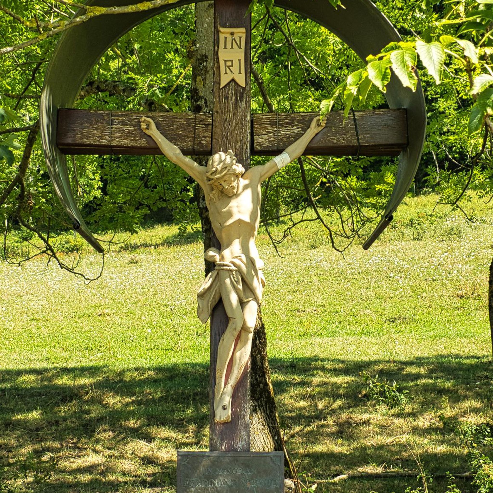
Hikes from bus stations in Espacio Natural De La Sierra De Candelario
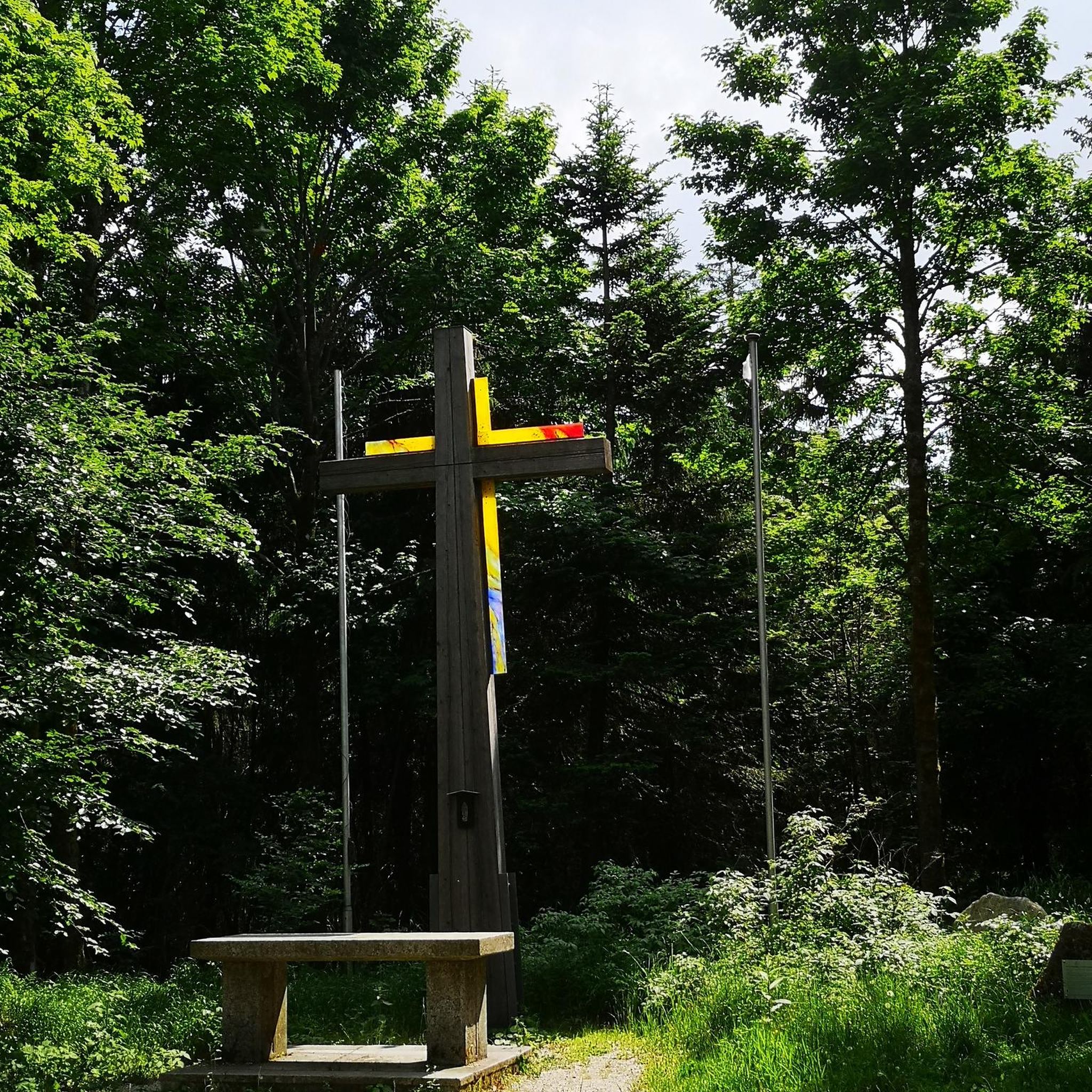
Hikes from bus stations around Embalse de Navamuño

Hikes from bus stations in Las Batuecas-Sierra De Francia

Hikes from bus stations around National Park Batuecas y Sierra Francia
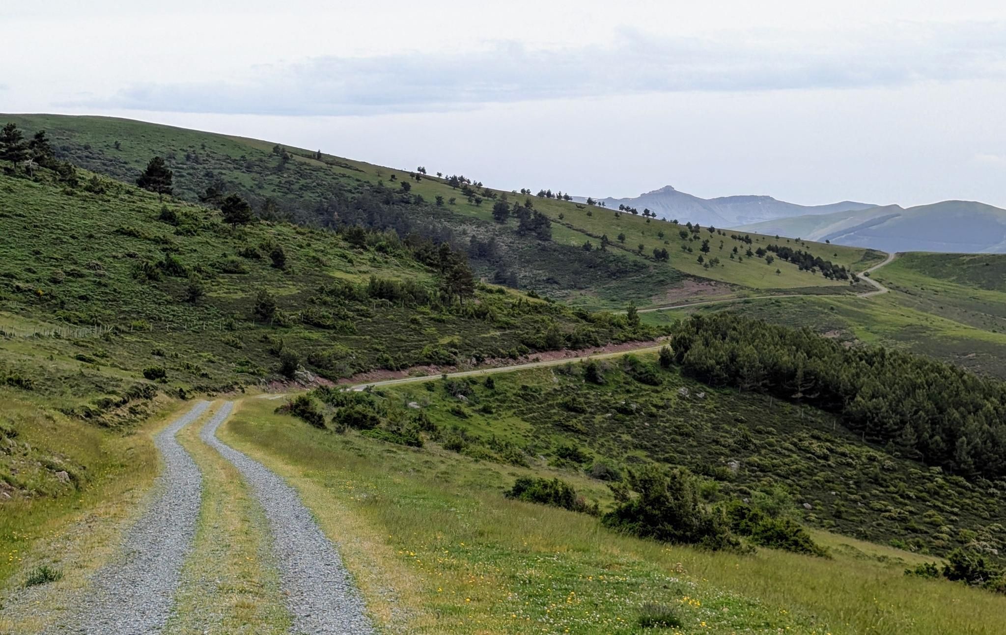
MTB Transhumance — Cañada Real Soriana Occidental

12 hiking gems throughout Spain
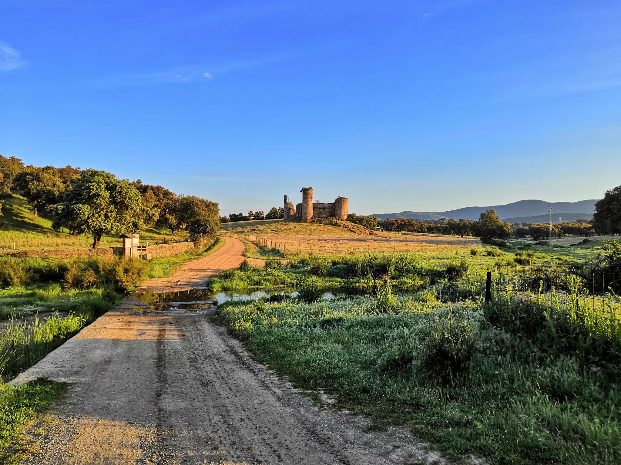
A romantic journey in the footsteps of the Romans – Via de la Plata
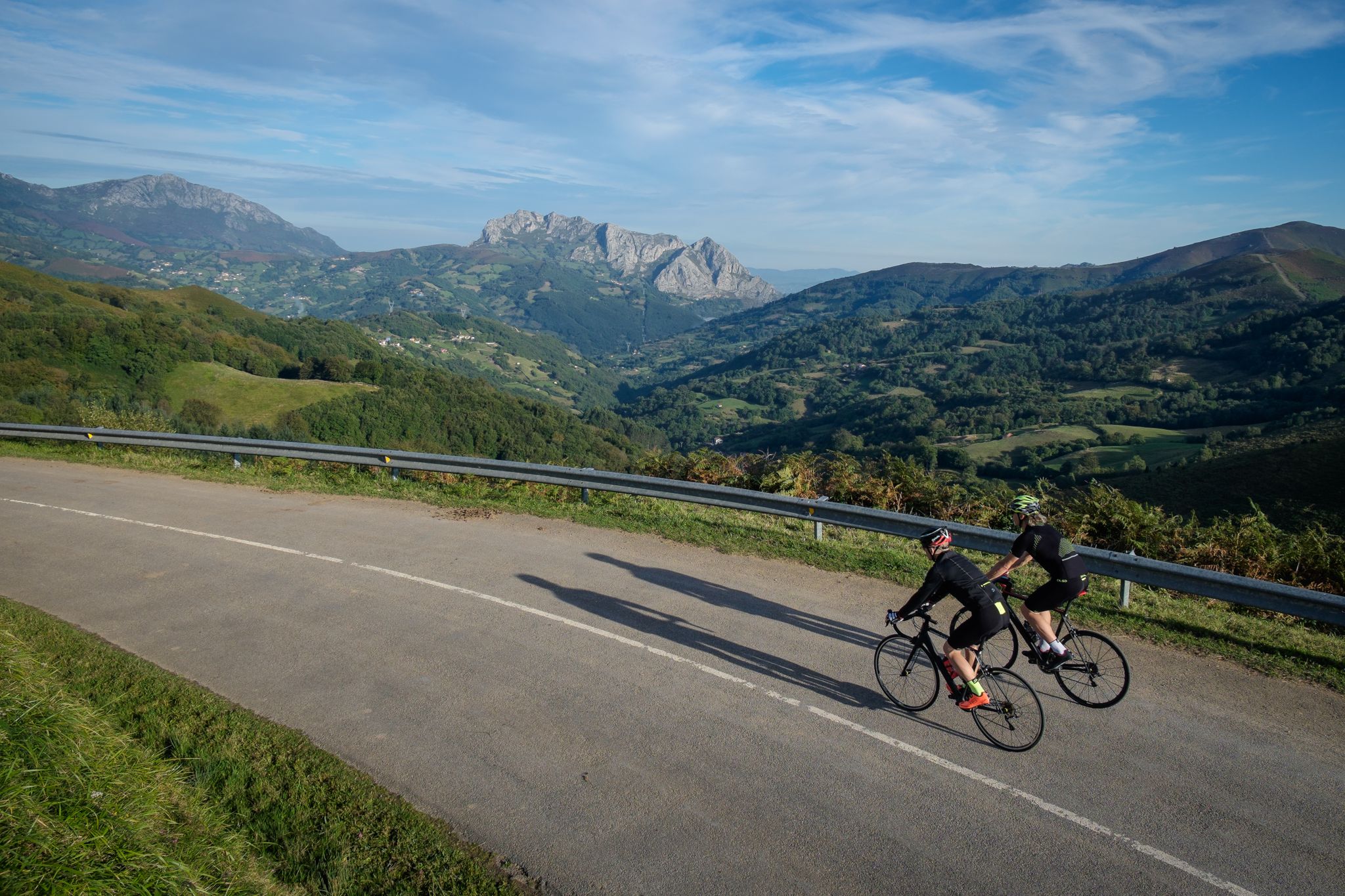
Explore Spain’s monuments and landscapes – cycle the Via de la Plata
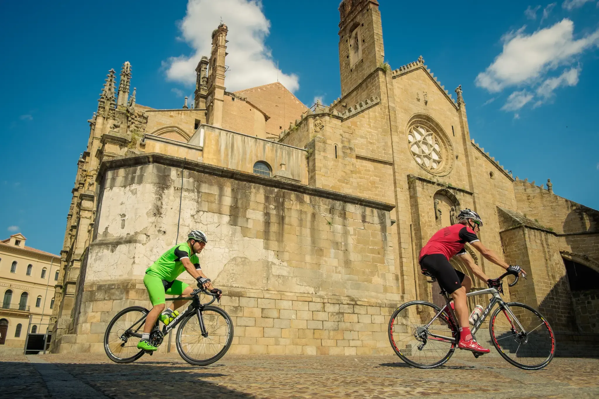
Vía de la Plata – from Seville to Gijón by bike
Other adventures around La Sierra


Tips from the Community

Beautiful tunnel of approx. 1 km, note that the lighting usually works, but not always and then it is pitch dark, the underground is perfectly cyclable.
13
1
The lighting works well coming from Hervas, but not the other way around. The 2nd part is really pitch black! (May 2026).
10
0
Usually cozy here, but today deserted.
10
0


Very close to the Béjar Greenway, ideal for cyclists and hikers who follow the old railway line. Cuisine: Mediterranean and Spanish, with grilled meats, tapas, and traditional dishes. Specialties: Grilled meats (T-bone steak, Iberian pork shoulder). Burgers (including Wagyu). A variety of tapas, croquettes, and salads. Fresh fish and homemade stews.
7
0

Easy bike ride. Beautiful nature and views. Hervas is a nice and beautiful city. Bike path on old railway line easily passable. Tunnel was lit (but slippery clay soil with hard grooves, so be careful).
2
0

This hostel is highly recommended.
0
1

A very interesting route for its sculptures And the peace that is experienced on the route
0
0
Frequently Asked Questions
How many bus station hiking trails are available in La Sierra?
There are over 30 bus station hiking trails in La Sierra, offering a wide range of options for different skill levels. You'll find everything from easy strolls to more challenging routes, all accessible directly from public transport hubs.
Are there easy bus station hikes suitable for beginners in La Sierra?
Yes, La Sierra offers several easy bus station hikes perfect for beginners or those looking for a relaxed outing. An excellent option is the Restaurante Magnolia – Shore of the Lake loop from Baños de Montemayor, which provides a gentle introduction to the region's beauty.
What kind of circular bus station walks can I find in La Sierra?
Many bus station routes in La Sierra are designed as circular walks, bringing you back to your starting point. For a scenic loop that includes a natural highlight, consider the Waterfall and Stone Aqueduct – La Chorrera Waterfall loop from Hervás.
Are there any bus station trails in La Sierra that are family-friendly?
Absolutely. Many of the easier and moderate routes are suitable for families. The Restaurante Magnolia – Shore of the Lake loop from Baños de Montemayor is a great choice, offering pleasant scenery without being overly strenuous, making it ideal for a family day out.
Can I bring my dog on bus station hikes in La Sierra?
Many trails in La Sierra are dog-friendly, but it's always best to check specific route details and local regulations regarding pets, especially in nature reserves or protected areas. Generally, dogs on a leash are welcome on most public paths. The Stream – Forest Trail loop from Hervás is a popular choice for hikers with dogs, offering varied terrain and natural surroundings.
What are some notable viewpoints or attractions along bus station trails in La Sierra?
La Sierra boasts numerous points of interest. Along the trails, you might encounter charming settlements like Mogarraz or historical sites such as the Sanctuary of Our Lady of the Peña de Francia. For panoramic views, consider routes that pass by the View of Embalse de Baños – Hervás Old Town loop from Hervás.
What is the best time of year to go hiking from bus stations in La Sierra?
Spring (April-June) and Autumn (September-November) are generally considered the best times for hiking in La Sierra. The weather is mild, and the landscapes are particularly beautiful, with blooming wildflowers in spring and vibrant foliage in autumn. Summers can be hot, especially at lower elevations, while winters can bring snow to higher peaks.
Are there any advanced or difficult bus station hiking routes in La Sierra?
Yes, for experienced hikers seeking a challenge, La Sierra offers several difficult routes accessible by bus. The View of Embalse de Baños – Hervás Old Town loop from Hervás is one such route, featuring significant elevation changes and longer distances that require good physical condition.
What do other hikers enjoy most about bus station trails in La Sierra?
The bus station trails in La Sierra are highly rated by the komoot community, with an average score of 4.5 stars. Reviewers often praise the convenience of accessing diverse landscapes directly from public transport, the well-maintained paths, and the stunning natural beauty, including waterfalls and historic towns.
Are there cafes or places to eat near the bus stations or along the trails in La Sierra?
Many of the towns where bus stations are located, such as Hervás and Baños de Montemayor, offer a selection of cafes, restaurants, and shops where you can grab a bite before or after your hike. Some routes, like the Restaurante Magnolia – Shore of the Lake loop from Baños de Montemayor, even pass by establishments where you can refuel.
What should I wear for bus station hikes in La Sierra?
Given the varied terrain and weather conditions in La Sierra, it's advisable to wear comfortable, layered clothing suitable for hiking. Sturdy hiking boots are essential, especially for longer or more challenging routes. Always check the weather forecast before you go and pack rain gear, even on sunny days, as conditions can change quickly in mountainous regions.
Most popular routes around La Sierra
Most popular attractions around La Sierra

Get inspired with the komoot mobile app


Didn’t find what you were looking for?
Check out more Hikes throughout La Sierra below and find the perfect route in your destination.
Explore more
Browse the best Hikes in other regions.
