The best traffic-free bike rides around Haut-Valromey
4.4
(329)
5,131
riders
16
rides
No traffic touring cycling routes around Haut-Valromey traverse the diverse landscapes of the Ain department in eastern France. The region is characterized by the vast Jura plateau of Retord, offering wide-open spaces and panoramas of the Alps. Cyclists encounter significant elevation changes, including challenging mountain passes like Col de Richemond, and extensive forests. This area provides a blend of tranquil scenery and demanding terrain for touring cyclists.
Best no traffic touring cycling routes around Haut-Valromey
- The most popular no traffic touring cycling route is Cuvéry Pass – View of Mont Blanc loop from Hotonnes, a 19.0 miles (30.6 km) trail that takes 3 hours 7 minutes to complete. This difficult route offers expansive views, including glimpses of Mont Blanc from the Jura plateau.
- Another top favourite among local touring cyclists is Cuvery Pass – Cuvéry Pass loop from Hotonnes, a difficult 23.2 miles (37.4 km) path. This route navigates the varied terrain of the Jura plateau, featuring significant ascents and descents.
- Local touring cyclists also love the Col de Richemond (1060 m) – Plans d'Hotonnes Station loop from Hotonnes, a 12.5 miles (20.1 km) trail leading through the challenging Col de Richemond, often completed in about 2 hours 2 minutes.
- Touring cycling around Haut-Valromey is defined by Jura plateaus, challenging mountain passes, and extensive forests. The network offers options for different ability levels, though many routes feature significant elevation gain.
- The routes in Haut-Valromey are highly rated by the komoot community with an average score of 5.0 stars from around 20 reviews. More than 350 touring cyclists have used komoot to explore Haut-Valromey's varied terrain.
Last updated: July 7, 2026
5.0
(3)
108
riders
25.2km
02:31
490m
490m
Hard bike ride. Very good fitness required. Mostly paved surfaces. Suitable for all skill levels.
5.0
(1)
45
riders
43.5km
04:30
1,100m
1,090m
Hard bike ride. Very good fitness required. Mostly paved surfaces. Suitable for all skill levels.

Sign up for free
5.0
(1)
27
riders
20.1km
02:02
460m
460m
Hard bike ride. Very good fitness required. Mostly paved surfaces. Suitable for all skill levels.
5.0
(3)
21
riders
34.7km
02:35
840m
840m
Hard bike ride. Very good fitness required. Mostly paved surfaces. Suitable for all skill levels.
5.0
(1)
29
riders
39.5km
03:07
1,090m
1,090m
Hard bike ride. Very good fitness required. Mostly paved surfaces. Suitable for all skill levels.
Get access to more routes and recommendations from other explorers.
Sign up for free
Already have an account?
Our route recommendations are based on thousands of hikes, rides, and runs completed by other people on komoot.
Start today with a free account
Your next adventure awaits.
Login or Signup
Popular around Haut-Valromey
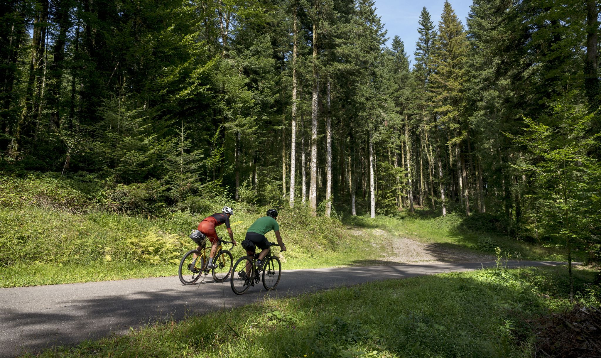
Grande Traversée du Jura - the gravel adventure
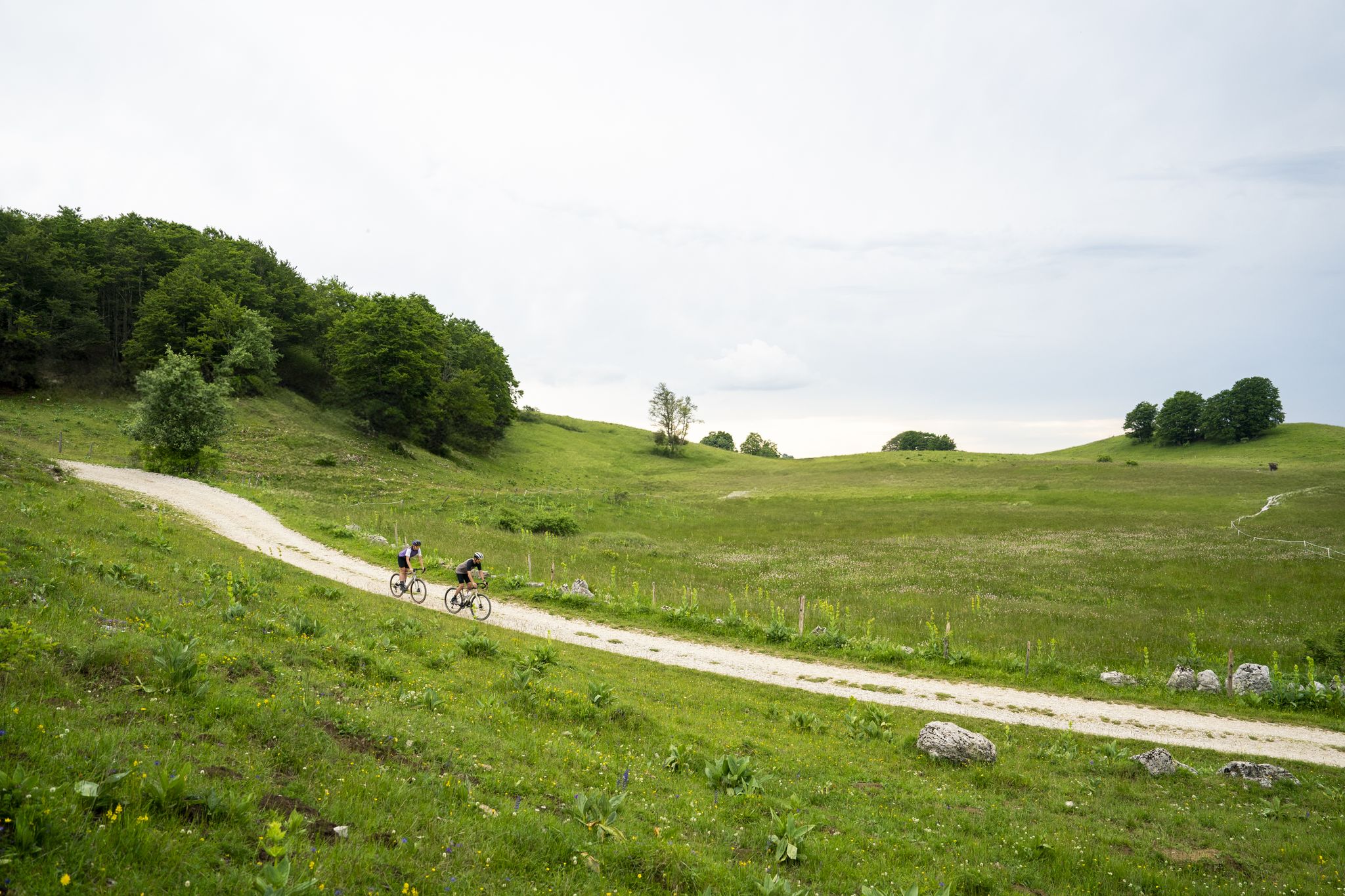
Gravel in Ain — sporty loops between water and mountain
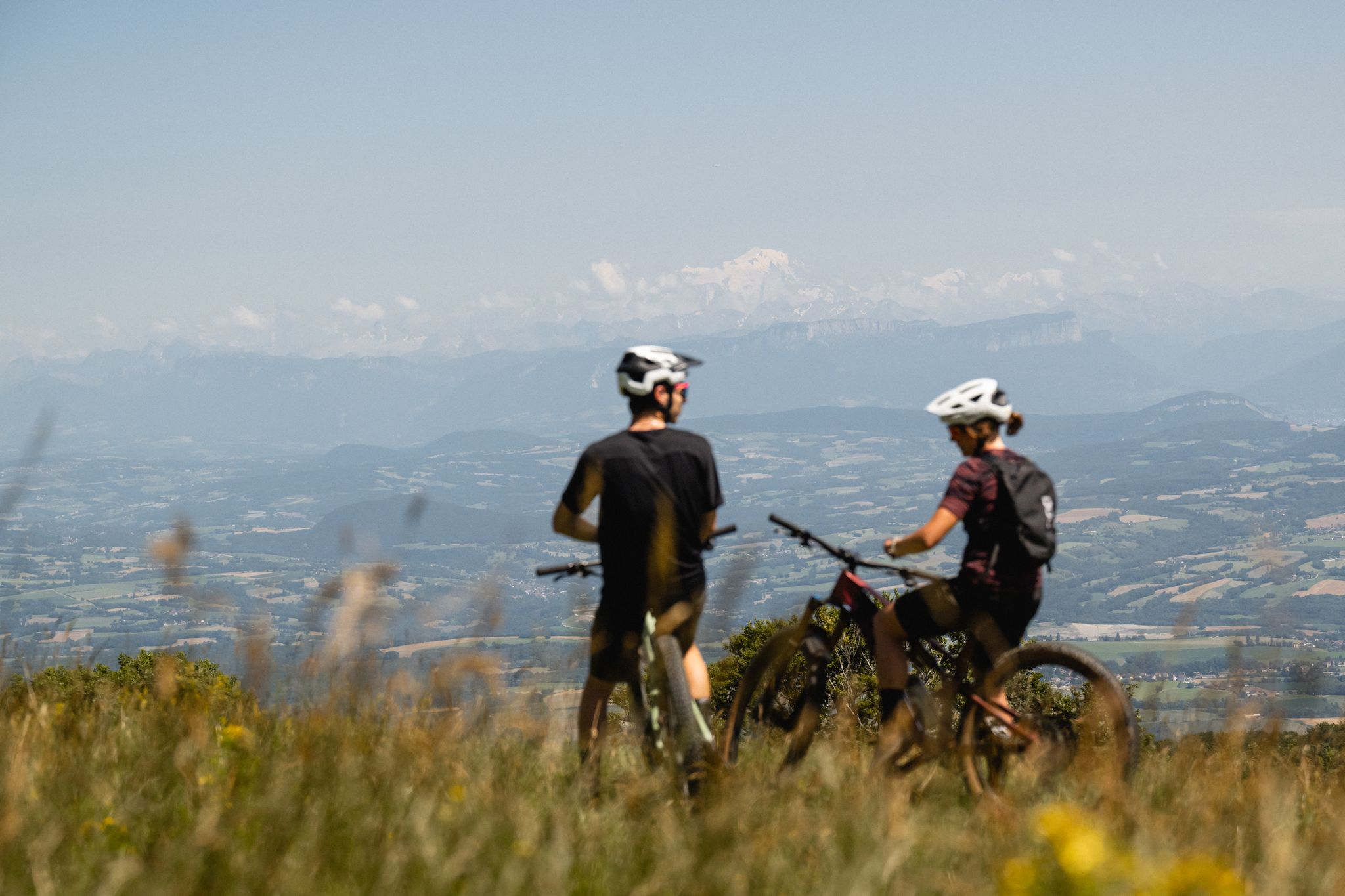
Gems of the Ain — MTB routes amidst natural beauty
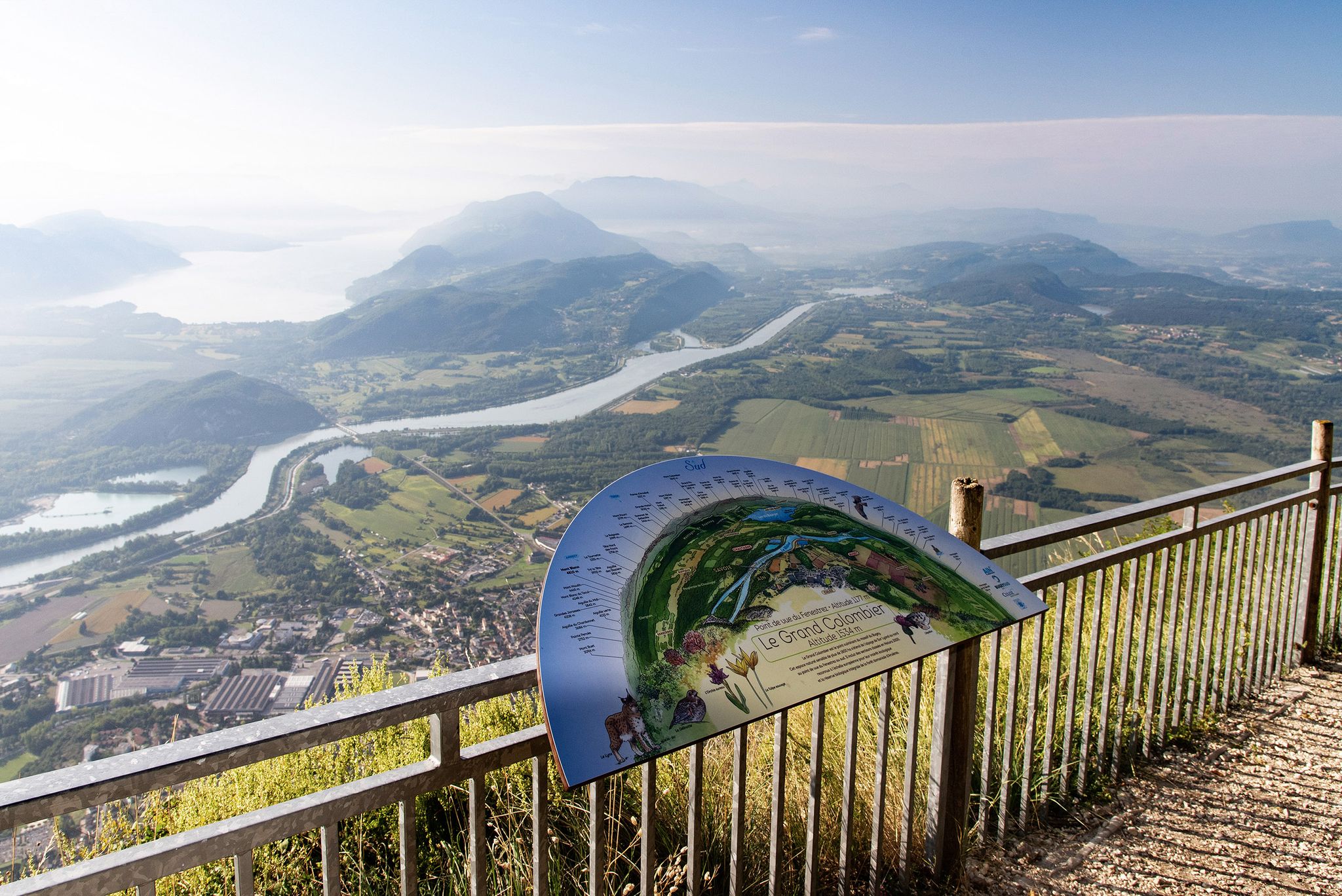
Tour de Pays MTB Bugey - Grand Colombier - Espace FFC Ain Forestière
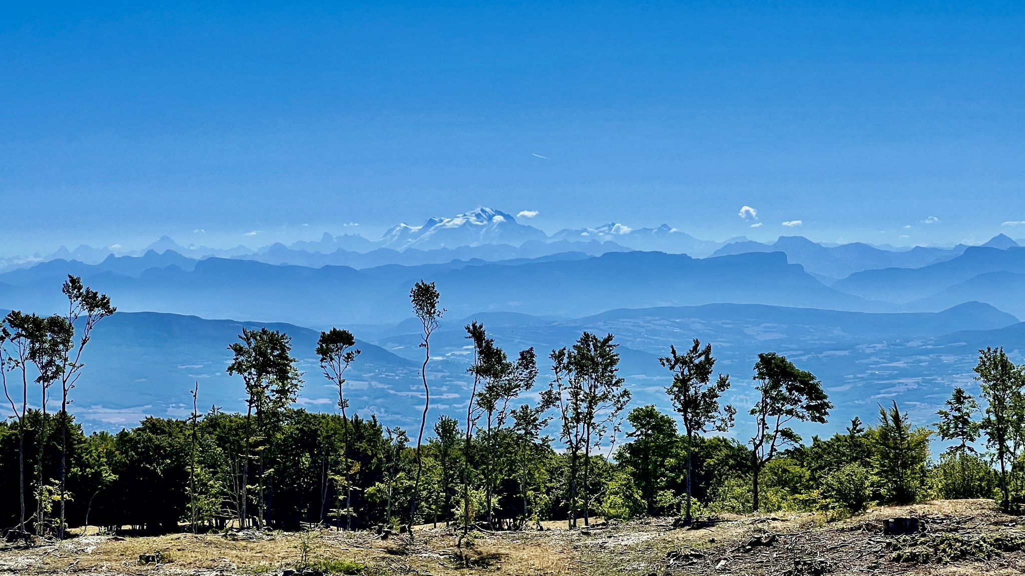
Circuits VTT entre Plateau de Retord et Grand Colombier
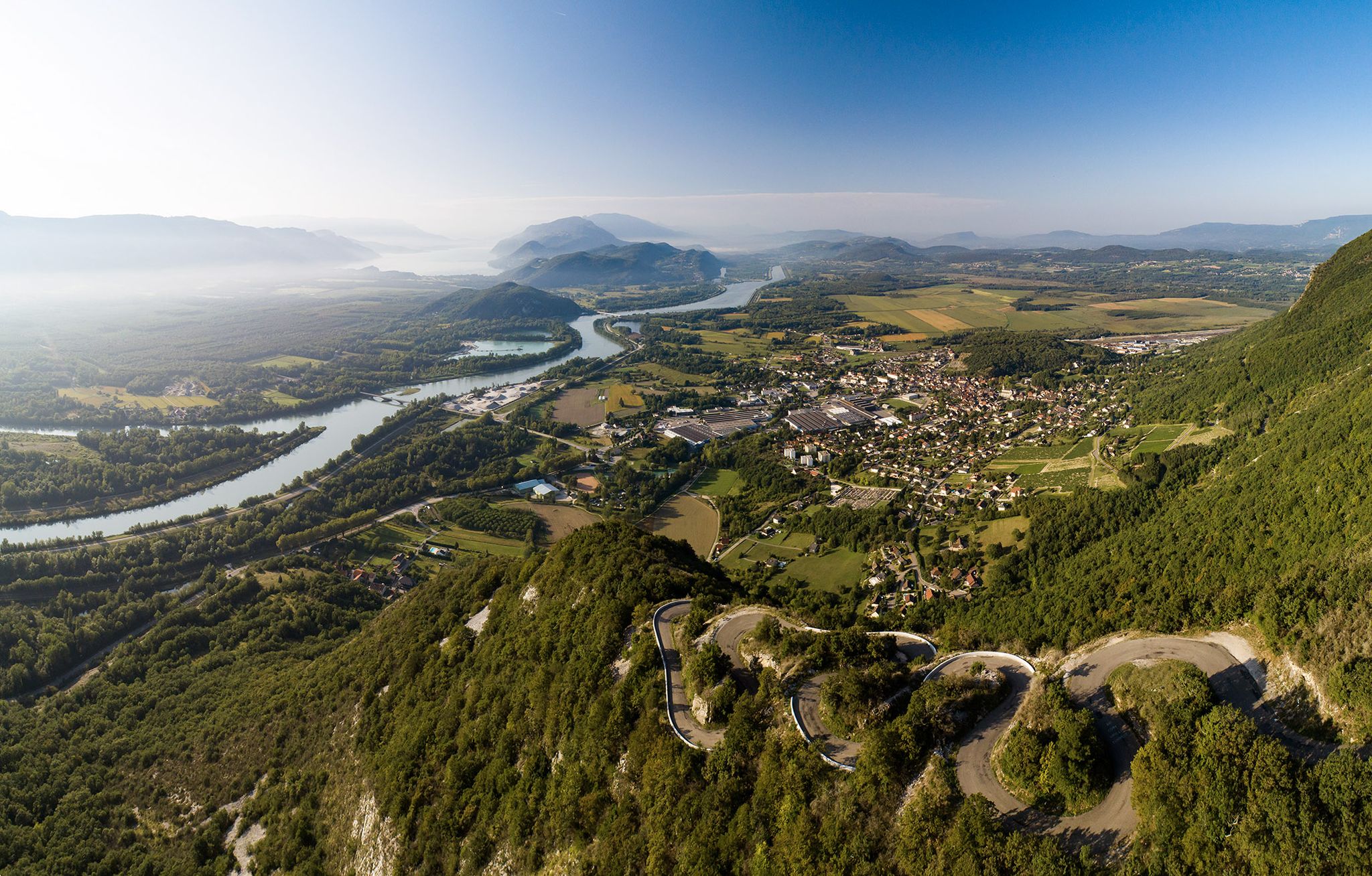
Top 14 des circuits vélo autour du Grand Colombier, de la ViaRhôna et du Plateau de Retord

Traffic-free bike rides around Haut-Valromey
Traffic-free bike rides around Haut-Valromey
Other adventures around Haut-Valromey


Tips from the Community

The Retord farm, located on the plateau of the same name, allows you to discover local products and offers a pleasant stop in a relaxing natural setting.
0
0

Nice climb, unfortunately the road from Ruffieu has (recently?) been completely covered in gravel that accumulates on the bends. Uphill it's okay, but risky on the descent. It's strange because the road doesn't seem particularly damaged under the gravel...
0
0

A 10 km climb from the small roundabout in Châtillon, it's more like 14 km from the Nantua road or the center of Bellegarde. The gradient is fairly steady, ranging from 5.5% to 7.2%, with about ten small steep sections at +8.5%. Very quiet, with very few cars. The road is generally in good condition, but nothing more. There are some beautiful views along the way.
1
1

A lovely pool of water in Lochieu. A perfect place to cool off if you're planning to cycle up to the Grand Colombier.
0
0

Path between meadows and forests in the south of the Plateau de Retord. Different sections located to the north of the road leading to the Col de Richemond offer very beautiful panoramas of the Valromey valley to the south.
0
0
This human-sized resort offers many activities available all year round. It is the starting point for VTT, Gravel and hiking circuits. It also has a biathlon stadium usable in summer and winter, unique in the Ain. Ideal for exploring the Jura massif.
0
0
Open panorama of the Alps facing Mont Blanc. View of the Grand Colombier, legendary pass of the Ain, the Belledonne massif and the Chartreuse to the south. This panorama is easier to access and more open than the one located in the extension of the summit.
1
0

Board and lodging all year round in this traditional farm, in the middle of nowhere, a must-stop for a good mountain meal!
0
0
Frequently Asked Questions
How many no-traffic touring cycling routes are available in Haut-Valromey?
Haut-Valromey offers a selection of 16 dedicated no-traffic touring cycling routes. While there are no easy routes, you'll find 3 moderate and 13 difficult options, ensuring a suitable challenge for various skill levels.
What kind of terrain and elevation can I expect on these routes?
The routes in Haut-Valromey often traverse the diverse landscapes of the Jura, including the Plateau de Retord and the Massif du Grand Colombier. This means you can expect significant elevation changes, with many routes featuring challenging climbs. For instance, the "Le Tour du Valromey" route mentioned in regional information has over 1600 meters of positive elevation over 66 km, and the "From one Plateau to another" circuit boasts nearly 3000 meters of elevation over 106 km. Even shorter routes like the Der Aufstieg beginnt – Continuous Ascent loop from Hotonnes include over 1000 meters of ascent.
Are there any scenic viewpoints or natural features along the no-traffic cycling routes?
Absolutely! Haut-Valromey is rich in natural beauty. You'll encounter magnificent panoramas of the Alps from the crests of the Plateau de Retord. The region is also home to several impressive gorges and waterfalls. Notable natural features include the Thurignin Gorges, especially striking during spring snowmelt, and the Cerveyrieu Waterfall. Many routes offer stunning views, such as the Cuvéry Pass – View of Mont Blanc loop from Hotonnes, which provides vistas of Mont Blanc.
What is the best time of year to go touring cycling in Haut-Valromey?
The summer months are ideal for touring cycling in Haut-Valromey, as the winter sports resorts like Plateau de Retord transform into havens for outdoor activities. Spring, particularly during snowmelt, offers spectacular views of the gorges and waterfalls, but some higher elevation routes might still have snow. Autumn also provides beautiful scenery with changing foliage and generally pleasant temperatures.
Are there any challenging passes or cols for experienced cyclists?
Yes, Haut-Valromey is well-known for its challenging passes, attracting 'pass hunters' and even featuring in events like the Tour de France. The region includes cols such as Col de Richemond, Col du Cruchon, and Col de Belleroche. Routes like the Col de Richemond (1060 m) – Plans d'Hotonnes Station loop from Hotonnes offer a taste of these demanding ascents.
What do other touring cyclists enjoy most about cycling in Haut-Valromey?
The komoot community highly rates the touring cycling experience in Haut-Valromey, with an average score of 4.96 stars from 17 ratings. Reviewers often praise the tranquil, low-traffic roads, the diverse landscapes ranging from gentle plateaus to majestic peaks, and the breathtaking panoramas, especially those of the Alps.
Are there any circular no-traffic touring routes available?
Yes, many of the no-traffic touring cycling routes in Haut-Valromey are designed as loops, allowing you to start and end at the same point. Examples include the Cuvery Pass – Cuvéry Pass loop from Hotonnes and the Rochette Pass – Hauteville loop from Hotonnes, providing convenient options for exploring the region without retracing your steps.
Where can I find bike rental services in Haut-Valromey?
Bike rental services are available in the region, for example, at Sports 360 in Plans d'Hotonnes. This makes it convenient for visitors who prefer not to bring their own equipment.
What are the options for public transport access to the cycling routes?
While specific public transport options directly to the start of every route may vary, Haut-Valromey is accessible within the Ain department. For detailed information on public transport schedules and accessibility with bikes, it's advisable to consult local transport authorities or the Ain Tourism website: ain-tourisme.com.
Are there any multi-day cycling trip opportunities in the area?
Beyond single-day touring, the Jura mountains, which encompass Haut-Valromey, offer multi-day mountain biking trips. These trips allow you to explore the wild vastness and agricultural heritage of the plateaus more extensively. For guided multi-day options, you can find more information on the Bugey Sud Tourisme website: bugeysud-tourisme.fr.
Are there any lakes suitable for relaxation or other activities near the cycling routes?
Yes, the region features natural lakes that offer opportunities for relaxation. Alliettes lake in Songieu is particularly noted as ideal for walking and is popular among fishermen, providing a peaceful spot to unwind after a ride.
Most popular routes around Haut-Valromey
Most popular attractions around Haut-Valromey

Get inspired with the komoot mobile app


Explore more
Browse the best Cycling routes in other regions.
