The best traffic-free bike rides around Vraignes-En-Vermandois
4.1
(10)
314
riders
48
rides
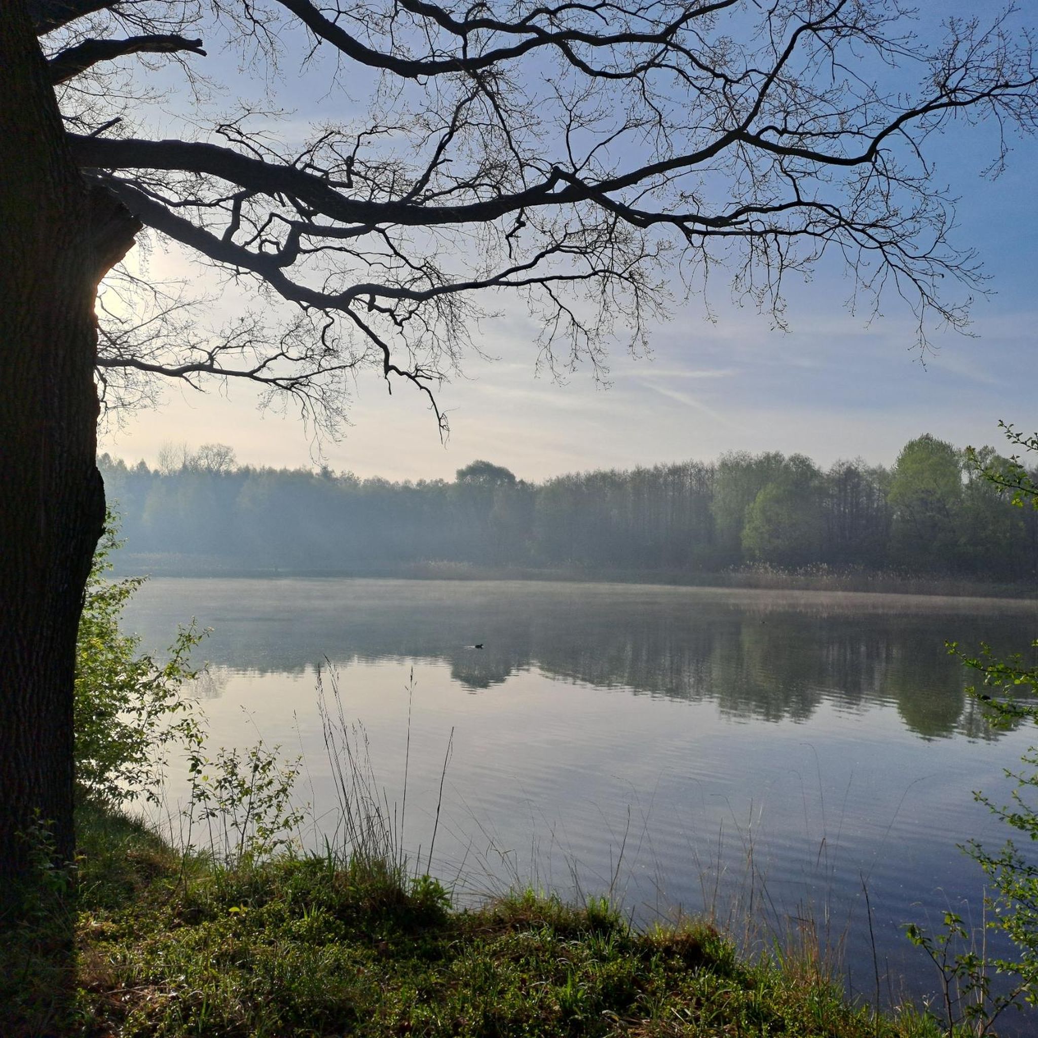
Road cycling around Vraignes-En-Vermandois, located in the Somme department of Hauts-de-France, offers a distinctive agricultural landscape with ample and marked undulations. The terrain features gentle, rolling hills, providing varied gradients suitable for different cycling abilities. Cyclists can expect to traverse wavy agricultural fields, small bodies of water near rivers, and relictual hedges, contributing to a preserved rural image. Woodlands also serve as significant landscape markers within the Vermandois region.
Best no traffic road cycling routes around Vraignes-En-Vermandois
- The most popular…
Last updated: October 10, 2026
5.0
(1)
7
riders
38.4km
01:37
210m
200m
Moderate road ride. Great for any fitness level. Some segments of this route may be unpaved and difficult to ride.
5
riders
36.2km
01:48
220m
220m
Easy road ride. Great for any fitness level. Mostly well-paved surfaces and easy to ride.

7
riders
56.7km
02:25
210m
210m
Moderate road ride. Good fitness required. Some segments of this route may be unpaved and difficult to ride.
5
riders
44.7km
01:52
260m
260m
Easy road ride. Great for any fitness level. Mostly well-paved surfaces and easy to ride.
4
riders
29.3km
01:11
160m
160m
Easy road ride. Great for any fitness level. Mostly well-paved surfaces and easy to ride.
Get access to more routes and recommendations from other explorers.
Already have an account?
Our route recommendations are based on thousands of hikes, rides, and runs completed by other people on komoot.
Start today with a free account
Your next adventure awaits.
Popular around Vraignes-En-Vermandois

Tips from the Community

Magnificent walk along the water, then visit the underground canal along the canal in a path between the trees with holes, bumps and bends (a real treat) to finish with a nice route in the Holnon woods. I recommend it. To do either as a walk or at speed, the choice is yours!
0
0

Beauvois-en-Vermandois is a small village in northern France, located in the Aisne department in the Hauts-de-France region. The village has an area of approximately 7.51 km² and a population of approximately 252 inhabitants (2021). The village is located at an altitude of between 75 and 95 metres and is part of the arrondissement of Saint-Quentin. Beauvois-en-Vermandois has a rural and dispersed development. It is a peaceful place with a rich history and a number of local attractions, such as the town hall and the school.
7
0


Whether on the Somme or on the canals: driving on the water is always pleasant. Water-rich area...
1
0

Explore this trail through the forest and cross the Omignon River for a mini-adventure.
4
0

The only place where you can eat or drink for miles around. Located on the edge of the V30, filling your water bottles and recharging all kinds of batteries is free. Culinarily, Pakistani flavors make you want to come back. And the icing on the semolina cake, everything is homemade. Finally, the operators are at the top of sympathy.
3
0


The creation of this cycle route is quite recent. The bitumen coating dates from 2019. Until that date, to make these 200 kilometers of journey, it was largely necessary to travel them on towpaths along the river. This allows for greater accessibility.
4
0
Frequently Asked Questions
How many no traffic road cycling routes are available in Vraignes-En-Vermandois?
There are over 55 dedicated no traffic road cycling routes around Vraignes-En-Vermandois. These routes offer a variety of experiences, from easy spins to more challenging rides through the region's undulating agricultural landscapes.
What is the terrain like for no traffic road cycling in Vraignes-En-Vermandois?
The terrain around Vraignes-En-Vermandois is characterized by a very agricultural landscape with ample and more or less marked undulations. You'll find gentle, rolling hills that provide varied gradients, offering distant, wavy agricultural views. Woodlands and small bodies of water near rivers also contribute to the preserved rural image.
Are there easy no traffic road cycling routes suitable for beginners?
Yes, Vraignes-En-Vermandois offers 13 easy no traffic road cycling routes. An excellent option for a relaxed ride is the Château d'Happlincourt – Château de Péronne loop from Buire-Courcelles, which is 32 km long and features gentle elevation changes.
What historical sites can I visit along no traffic road cycling routes?
The region is rich in history, particularly related to World War I. You can cycle to Péronne and visit the Château de Péronne, which houses the Historial of the Great War. Another notable site is the Château d'Happlincourt. Many routes pass through areas bearing marks of the First World War, including military cemeteries.
Are there any circular no traffic road cycling routes?
Yes, many of the no traffic road cycling routes in the area are circular, allowing you to start and end in the same location. For example, consider the moderate Forest road loop from Roisel, which covers over 72 km, or the Forest road loop from Vraignes-en-Vermandois, a 53 km moderate ride.
What do other road cyclists say about the no traffic routes in Vraignes-En-Vermandois?
The no traffic road cycling routes in Vraignes-En-Vermandois are highly regarded by the komoot community, with an average rating of 4.2 out of 5 stars. Reviewers often praise the quiet rural roads, the diverse agricultural scenery, and the sense of tranquility found while cycling through the preserved countryside.
What natural features can I expect to see while cycling?
You'll encounter a great landscape richness, including vast agricultural fields, woodlands, and small bodies of water near rivers like the Somme. The region's 'wavy agricultural waves' and 'relictual hedges' create a picturesque and varied backdrop for your rides. The Canal du Nord is also a prominent feature.
Are there any routes that pass by the Somme River or its associated features?
Yes, the Somme River and its natural ponds are significant features in the region. Routes often pass near these water landscapes, adding to the charm. The Somme Valley Cycle Path is a notable highlight that follows the river.
Where can I find parking for no traffic road cycling routes in Vraignes-En-Vermandois?
Many routes start from villages or towns in the area, such as Vraignes-En-Vermandois itself, Roisel, or Buire-Courcelles. Parking is generally available in these locations, often near the starting points of the routes. Always check local signage for specific parking regulations.
What is the best time of year for no traffic road cycling in Vraignes-En-Vermandois?
The region's gentle climate makes it suitable for cycling for much of the year. Spring and autumn offer pleasant temperatures and beautiful scenery with blooming fields or changing foliage. Summer is also popular, though it can be warmer. The quiet rural roads are generally accessible in most seasons.
Are there any longer no traffic road cycling routes for experienced cyclists?
Yes, for experienced cyclists looking for a longer challenge, there are moderate routes such as the Forest road – Tower of the Château de Ham loop from Vermand, which spans over 56 km with significant elevation gain, or the 72 km Forest road loop from Roisel.
Most popular routes around Vraignes-En-Vermandois
Most popular attractions around Vraignes-En-Vermandois

Get inspired with the komoot mobile app


Explore more
Browse the best Road cycling routes in other regions.
