The best walks and hikes around Merchweiler
4.2
(273)
1,157
hikers
33
hikes
Hiking trails around Merchweiler traverse a diverse landscape, characterized by dense forests, rolling hills, and picturesque rivers. Located on the edge of the Saarland and bordering the Saar-Hunsrück Nature Park, the region offers a well-developed network of routes. The area features varied natural settings and a notable mining history, with trails often passing through former coal mining areas. This blend of natural beauty and historical context provides a compelling environment for outdoor activities.
Best hiking trails around Merchweiler
- The most…
Last updated: October 11, 2026
4.4
(8)
54
hikers
Easy hike. Great for any fitness level. Easily-accessible paths. Suitable for all skill levels.
3.3
(4)
44
hikers
Easy hike. Great for any fitness level. Easily-accessible paths. Suitable for all skill levels.

4.0
(5)
38
hikers
3.28km
00:55
60m
60m
Easy hike. Great for any fitness level. Easily-accessible paths. Suitable for all skill levels.
4.0
(3)
28
hikers
Easy hike. Great for any fitness level. Easily-accessible paths. Suitable for all skill levels.
4.0
(2)
15
hikers
Moderate hike. Good fitness required. Easily-accessible paths. Suitable for all skill levels.
Get access to more routes and recommendations from other explorers.
Already have an account?
Our route recommendations are based on thousands of hikes, rides, and runs completed by other people on komoot.
Start today with a free account
Your next adventure awaits.

Tips from the Community

The neoclassical town hall was inaugurated on October 2, 1926, for the then independent municipality of Wemmetsweiler – a representative building, made possible by the economic upswing from mining, glassworks, and brickworks. The widely visible dome became the landmark of the place. Protected as a monument since 1991, the renovated dome halls now serve cultural events.
0
0
Haltepunkt Wemmetsweiler Rathaus, a good starting point for hikes in the region. Directly at the entrance stands a striking, half-finished wheel sculpture that is reminiscent of a mining pulley – presumably with reference to the region's mining history.
0
0


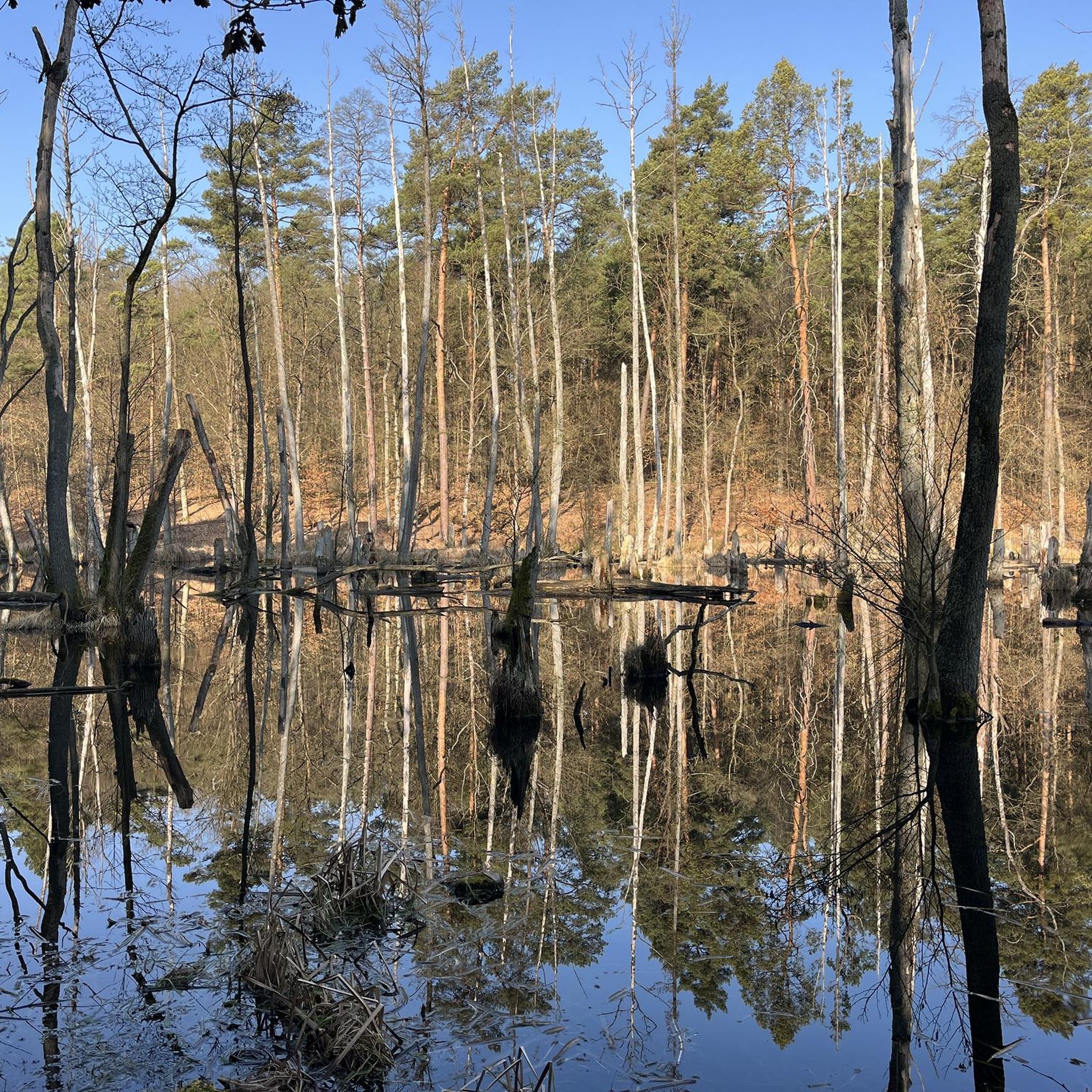
A good place to rest after a long hike
0
0

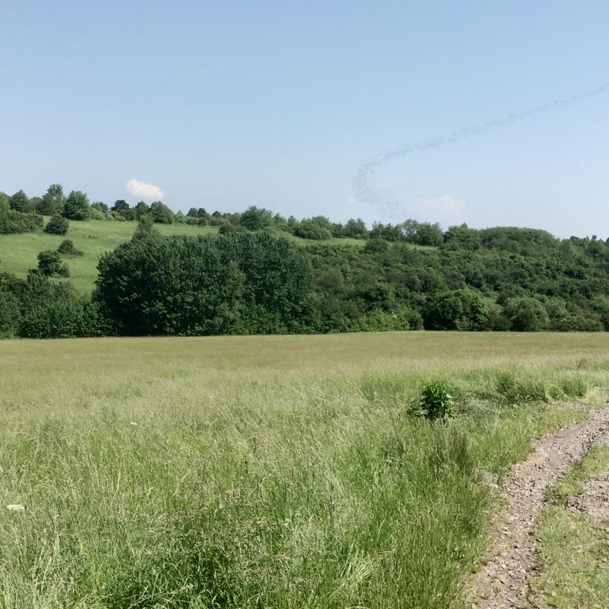
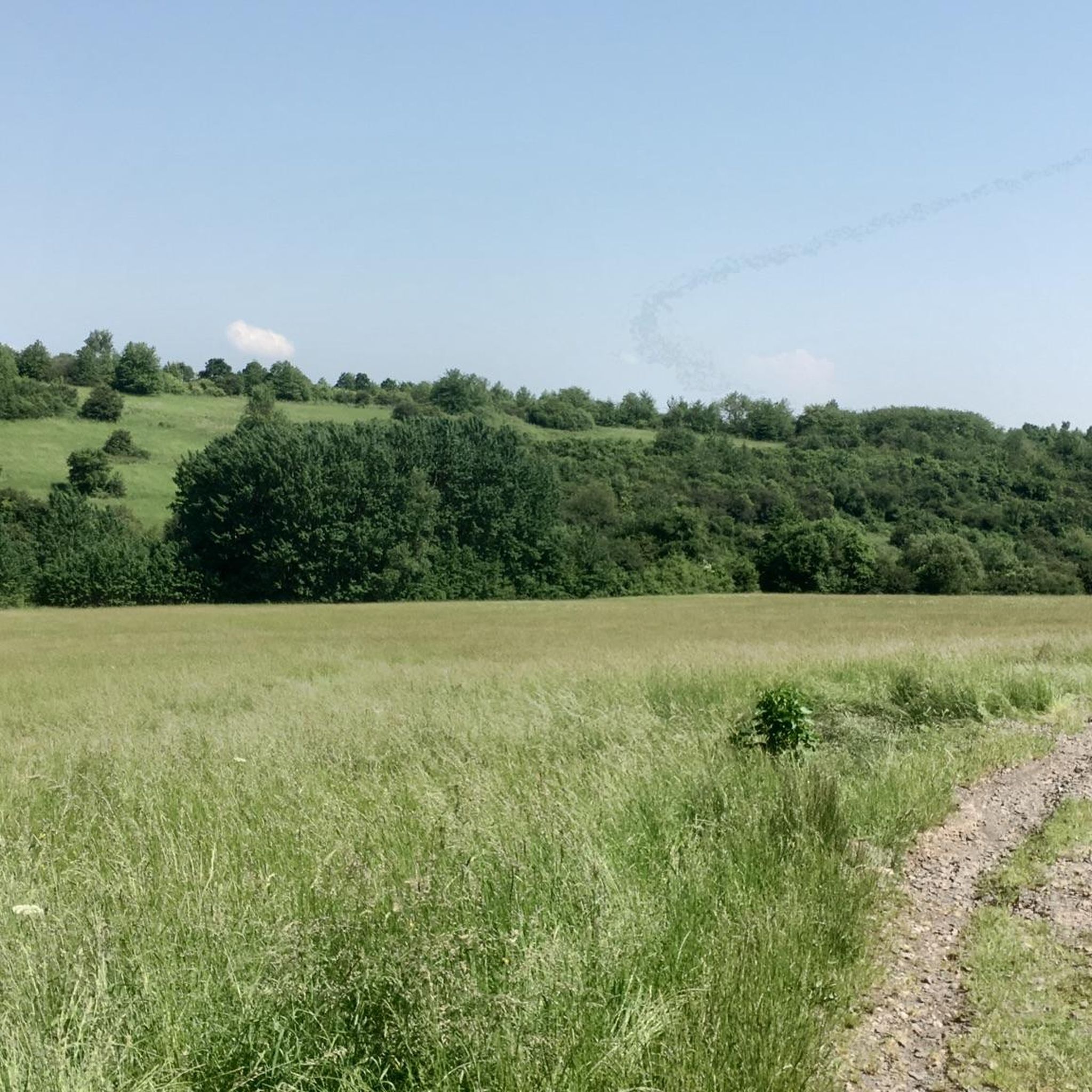
Saarengeti, with a little patience you can also see water buffalo. Be careful, the paths are paved but after rain it can be muddy.
2
0

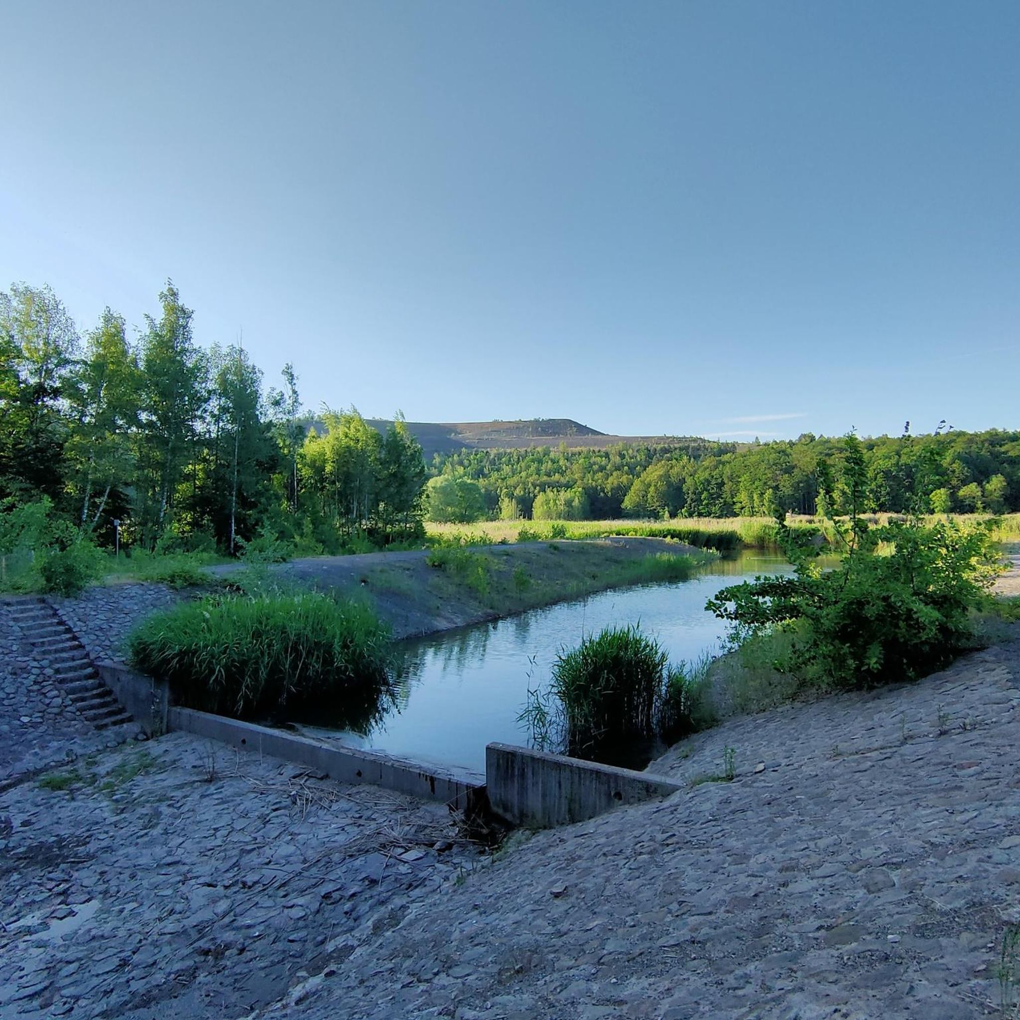
The Itzenplitzer Pingenpfad leads through the stream at this point. Most of the time the water level is low, but if there has been a lot of rain, the stepping stones can be below the surface of the water. Waterproof shoes help.
0
0
Frequently Asked Questions
How many hiking trails are there in Merchweiler?
Merchweiler offers a network of over 25 hiking routes. These trails cater to various preferences, from easy strolls to more moderate excursions through diverse landscapes.
What is the typical terrain like on Merchweiler's hiking trails?
The hiking trails around Merchweiler are characterized by a rich variety of natural settings, including dense forests, rolling hills, and picturesque rivers. Many routes feature beautiful forest paths with minimal asphalt sections, offering a true nature experience.
Are there any easy hiking trails suitable for beginners in Merchweiler?
Yes, Merchweiler has many easy trails perfect for beginners. For example, the Itzenplitzer Pond – Itzenplitz Pingen Trail loop from Landkreis Neunkirchen is an easy 2.8-mile route that showcases the region's mining history and passes by the scenic Itzenplitzer Weiher.
What are some notable landmarks or natural features to see along the hiking trails?
Hikers can explore several interesting landmarks and natural features. The Itzenplitzer Pond is a natural focal point along the Itzenplitzer Pingenpfad. You might also encounter the Saarbrücken Primeval Forest in the broader region, known for its ancient trees, or the Burning Mountain, a unique natural monument.
What do other hikers enjoy most about hiking in Merchweiler?
The hiking routes in Merchweiler are highly rated by the komoot community, with an average score of 4.2 stars from over 40 reviews. Hikers often praise the diverse landscapes, the blend of natural beauty and historical context, and the well-developed network of trails.
Are there any circular walks available in Merchweiler?
Yes, many of Merchweiler's trails are designed as circular routes, allowing you to start and end at the same point. An example is the Hiking loop from Merchweiler, a 2.0-mile trail through local forests and open areas.
What is the best time of year to go hiking in Merchweiler?
The best seasons for hiking in Merchweiler are spring and autumn. During these times, the mild climate and vibrant natural colors create ideal conditions for exploration, making your hiking experience particularly enjoyable.
Are there family-friendly hiking options in Merchweiler?
Yes, Merchweiler offers family-friendly options. The region research mentions a 'Kinderwanderweg' (Children's Hiking Trail) specifically designed for younger adventurers, allowing children to explore nature playfully with various stations along the way. Many of the easy loops are also suitable for families.
Is parking available at the trailheads in Merchweiler?
While specific parking details for every trailhead are not provided, Merchweiler is a well-developed community, and parking is generally available near popular starting points for hiking trails. It's advisable to check local signage or route descriptions for specific parking information.
Can I reach hiking trails in Merchweiler using public transport?
Merchweiler is part of Germany's public transport network. While direct access to every trailhead might vary, it is generally possible to reach the vicinity of many hiking areas using public transport. For routes like the View of Illingen – View of Neunkirchen loop from Wemmetsweiler Rathaus, starting points are often accessible via local transport hubs.
Are there any moderate hiking trails for more experienced hikers?
Yes, for those seeking a more challenging experience, Merchweiler offers moderate trails. The View of Illingen – View of Neunkirchen loop from Wemmetsweiler Rathaus is a moderate 5.6-mile path offering varied terrain and taking approximately 2 hours 27 minutes to complete.
What kind of natural features define the Merchweiler landscape?
Merchweiler's landscape is defined by a rich variety of natural settings, including dense forests, rolling hills, and picturesque rivers. It sits on the edge of the Saarland and borders the Saar-Hunsrück Nature Park, providing a diverse backdrop for outdoor activities.
Most popular routes around Merchweiler
Most popular attractions around Merchweiler

Get inspired with the komoot mobile app


Explore more
Browse the best Hikes in other regions.
