The best traffic-free bike rides around Apchon
4.8
(33)
682
riders
10
rides
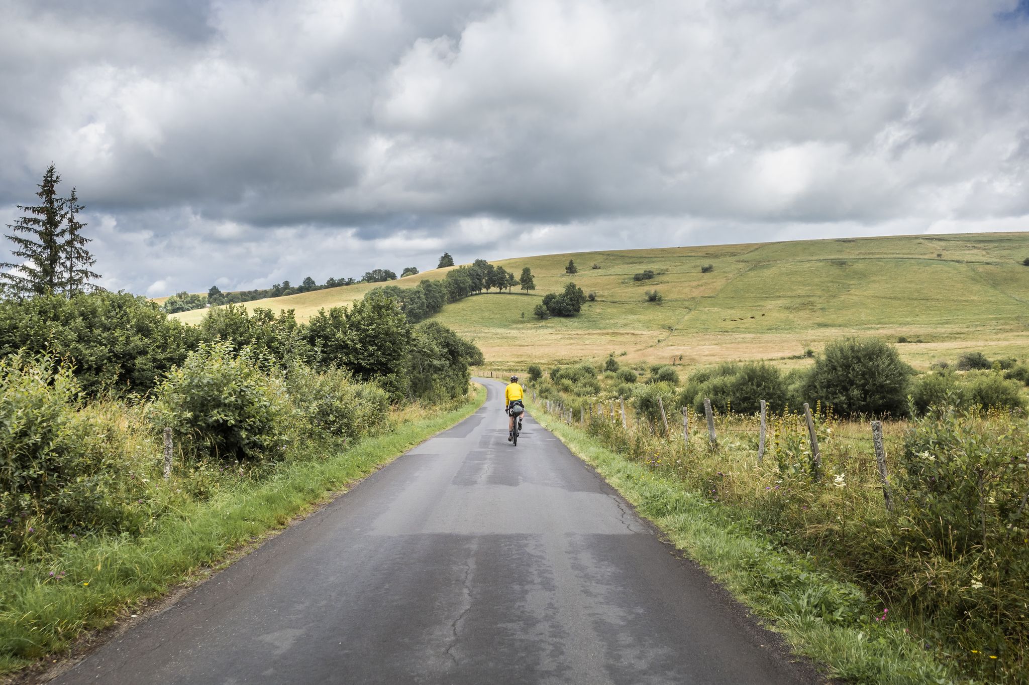
No traffic road cycling routes around Apchon are situated within the Cantal department of the Auvergne-Rhône-Alpes region in south-central France. This area is characterized by the northern edge of the Cantal mountains, with elevations ranging from 833 to 1,143 meters, providing varied topography for cyclists. The landscape features farmland interspersed with forests, and the Petite Rhue river meanders through the commune. Proximity to the Col de la Neronne and Puy Mary offers opportunities for significant climbs and scenic vistas.
Best…
Last updated: July 6, 2026
12
riders
111km
06:14
2,390m
2,390m
Hard road ride. Very good fitness required. Mostly well-paved surfaces and easy to ride.
13
riders
46.0km
02:26
820m
820m
Moderate road ride. Good fitness required. Some segments of this route may be unpaved and difficult to ride.

Sign up for free
8
riders
30.3km
01:38
530m
530m
Moderate road ride. Good fitness required. Mostly well-paved surfaces and easy to ride.
7
riders
36.8km
02:06
770m
770m
Moderate road ride. Good fitness required. Some segments of this route may be unpaved and difficult to ride.
3
riders
24.1km
01:21
530m
520m
Moderate road ride. Good fitness required. Mostly well-paved surfaces and easy to ride.
Get access to more routes and recommendations from other explorers.
Sign up for free
Already have an account?
Our route recommendations are based on thousands of hikes, rides, and runs completed by other people on komoot.
Start today with a free account
Your next adventure awaits.
Login or Signup
Popular around Apchon

Other adventures around Apchon

Tips from the Community

Small, quiet road from Saint-Bonnet-de-Condat to Riom-ès-Montagnes via Marchastel
0
0

Either stressful or relaxed from Puy Mary.
0
0
Small village before the climb to Puy Mary. A bit deserted on Whit Monday.
3
0

Rain, visibility 1m, but otherwise great
0
0

Salers is a municipality in the Cantal department in the Auvergne-Rhône-Alpes region. The town is a completely preserved small town from the Renaissance period, with private and public buildings, city walls, defensive towers and a church. It was included in the association of the most beautiful villages in France. Despite its small population of around 300 inhabitants, the town is a historical, cultural and agricultural center in the sparsely populated mountain region of the Monts du Cantal. Source: https://de.wikipedia.org/wiki/Salers
3
0

From Salers, a pass with low percentages but with a magnificent view of the Santoire valley.
0
0

Col de Légal, at an altitude of 1,231 meters, on the beautiful Route des Crêtes. It allows you to go from the Doire valley to the Bertrande valley, in the heart of the Pays de Salers. There you will find a small inn open all year round.
0
0
Frequently Asked Questions
How many no traffic road cycling routes are available around Apchon?
There are 9 dedicated traffic-free road cycling routes around Apchon listed in this guide. These routes offer a variety of distances and elevations, ensuring options for different preferences and skill levels.
What kind of terrain can I expect on traffic-free road cycling routes near Apchon?
The routes around Apchon are situated at the northern edge of the Cantal mountains, offering varied topography. You can expect challenging ascents and rewarding descents, with elevations ranging from 833 to 1,143 meters. The landscape features farmland interspersed with patches of forest, and the Petite Rhue river meanders through the commune, adding to the scenic beauty.
Are there options for different skill levels on these traffic-free routes?
Yes, the routes cater to various skill levels. While most are rated 'moderate' (7 routes), there is 1 'easy' route for beginners and 1 'difficult' route for experienced cyclists seeking a greater challenge. For instance, the Neronne Pass – Col de Légal loop from La Chaze is a difficult option, covering over 110 km with significant elevation gain.
What natural attractions can I see along the traffic-free road cycling routes?
Many routes offer stunning natural backdrops. You might encounter highlights like the Puy de Niermont, or scenic water bodies such as Lac des Cascades and Étang de Lascourt. The region is also known for its proximity to Puy Mary, a classified 'grand site de France', promising breathtaking vistas.
Are there any historical or cultural landmarks near the traffic-free cycling routes?
Absolutely. Apchon itself boasts the 12th-century Château fort d'Apchon, a registered historical monument. The village church also contains several historical objects. Cyclists might also pass by the notable Neronne Pass, which offers magnificent views and is a significant landmark in the area.
What is the best time of year for traffic-free road cycling in Apchon?
The best time for road cycling in Apchon is generally during the warmer months, from late spring to early autumn. This period offers more stable weather conditions and allows for full enjoyment of the mountainous terrain and panoramic views. Winter cycling might be challenging due to snow and colder temperatures at higher elevations.
Can I find circular traffic-free road cycling routes around Apchon?
Yes, many of the routes are designed as loops, allowing you to start and finish at the same point. Examples include the Cheylade – Roussillou Pond loop from Lugarde, which is a moderate 46 km ride, or the shorter Apchon loop from Lextrait, at 24 km.
Is parking available for cyclists near the traffic-free routes in Apchon?
While specific parking areas for each route are not detailed, Apchon and surrounding villages like Lugarde, Cheylade, and Menet (starting points for some routes) typically offer public parking facilities. It's advisable to check local signage upon arrival for the most convenient spots.
Are there amenities like cafes or accommodation near the traffic-free routes?
Apchon and the nearby villages serve as good bases for cyclists, offering amenities such as cafes, pubs, and accommodation. After a ride, you can find places to refuel and relax. The 'views of Apchon' themselves are considered a local attraction, making the village a pleasant place to spend time.
What do other road cyclists enjoy most about the traffic-free routes around Apchon?
The area is highly rated by the komoot community, with an average score of 4.69 stars. Reviewers often praise the quiet roads, challenging climbs, and the stunning natural beauty of the Cantal mountains and the Auvergne nature reserve. The panoramic views, especially from points like the Col de la Neronne, are frequently highlighted as a major draw.
Are there any particularly scenic traffic-free routes for road cycling?
Many routes offer exceptional scenery. The Village de Saignes – Scenic Country Road loop from Menet explicitly highlights its scenic nature. Given Apchon's location near Puy Mary and the Col de la Neronne, most routes will provide stunning views of valleys, mountains, and the characteristic Cantal landscape.
Most popular attractions around Apchon

Get inspired with the komoot mobile app


Explore more
Browse the best Road cycling routes in other regions.
