The best cycling routes around Meißenheim
4.5
(344)
1,630
riders
41
rides
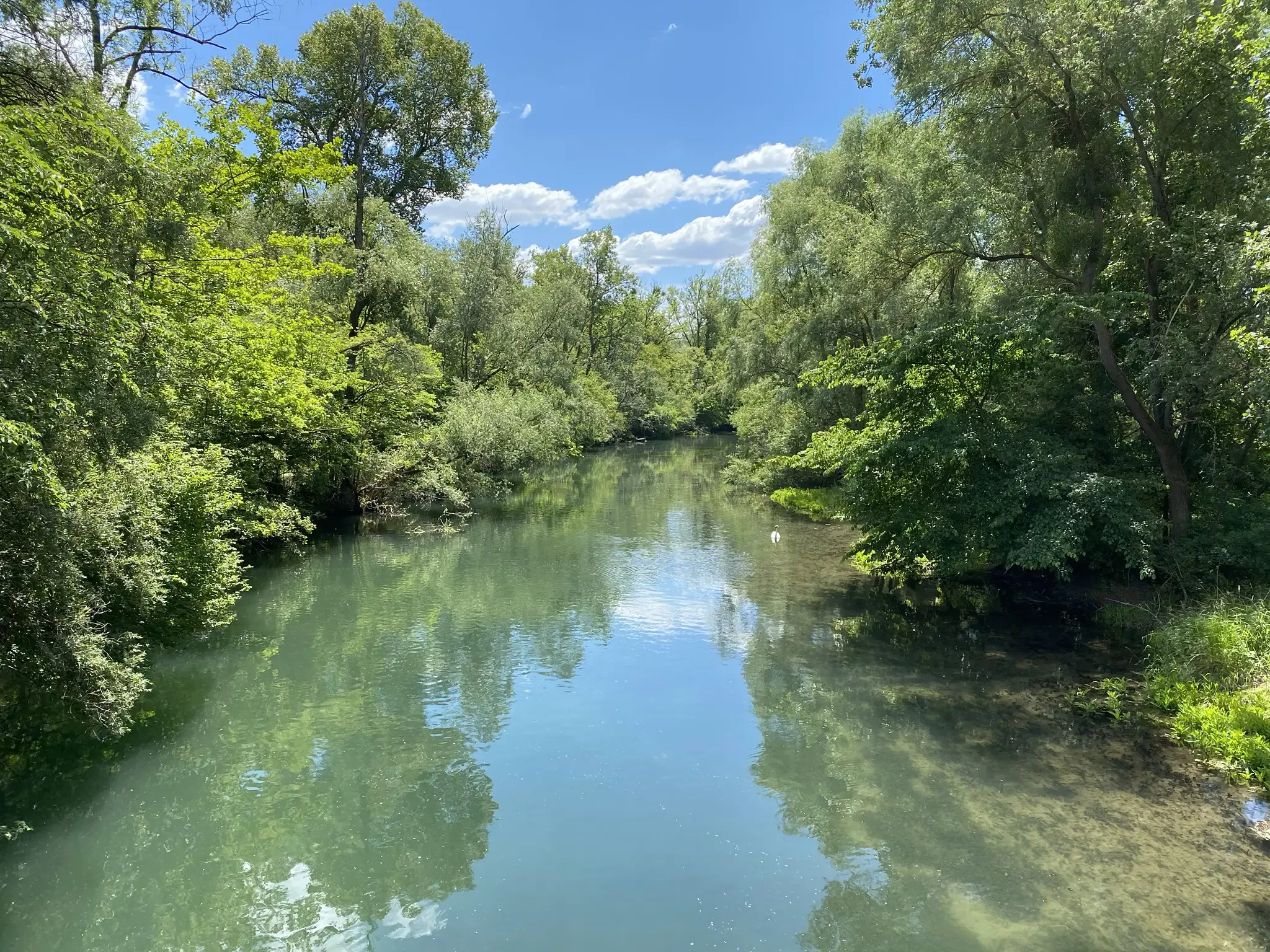
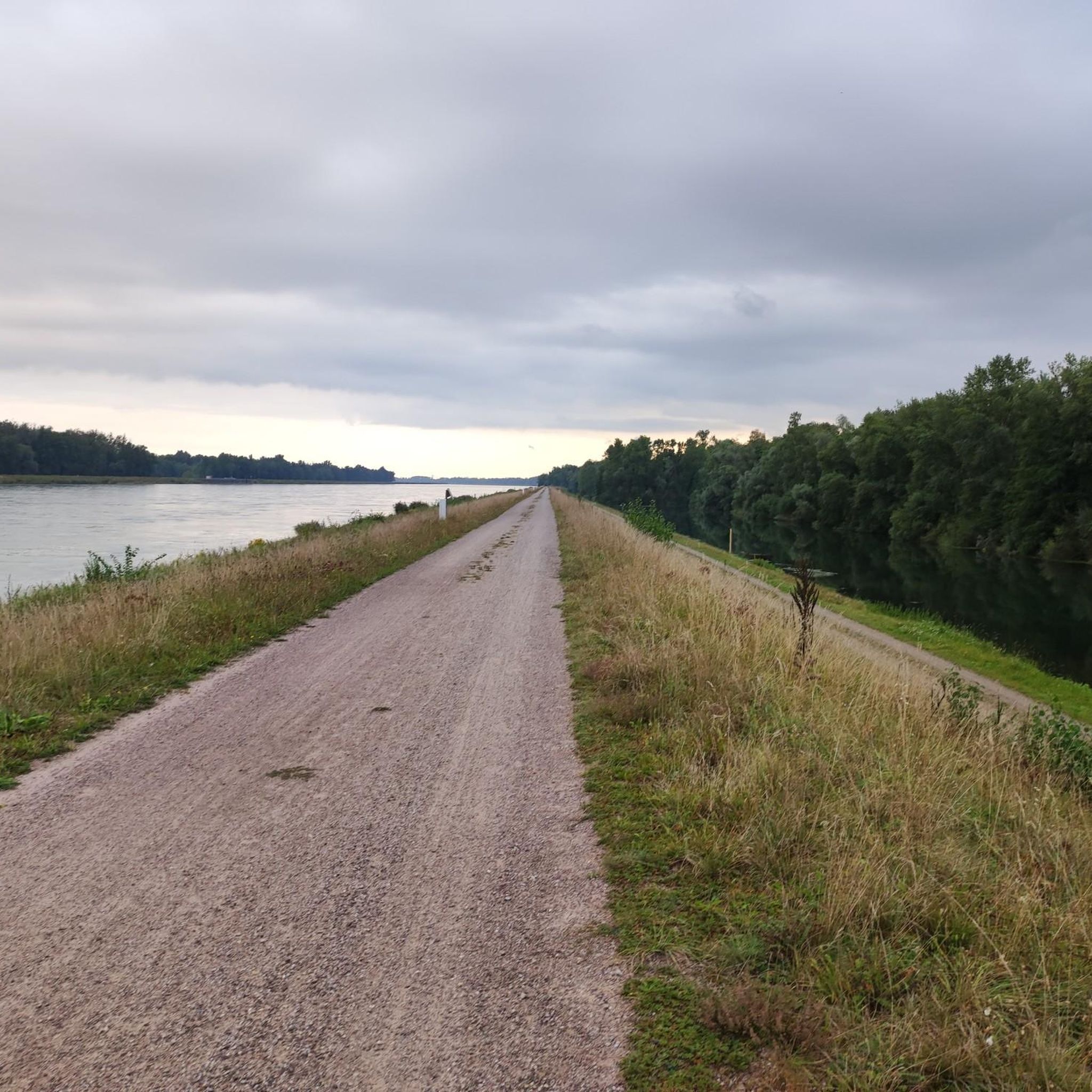
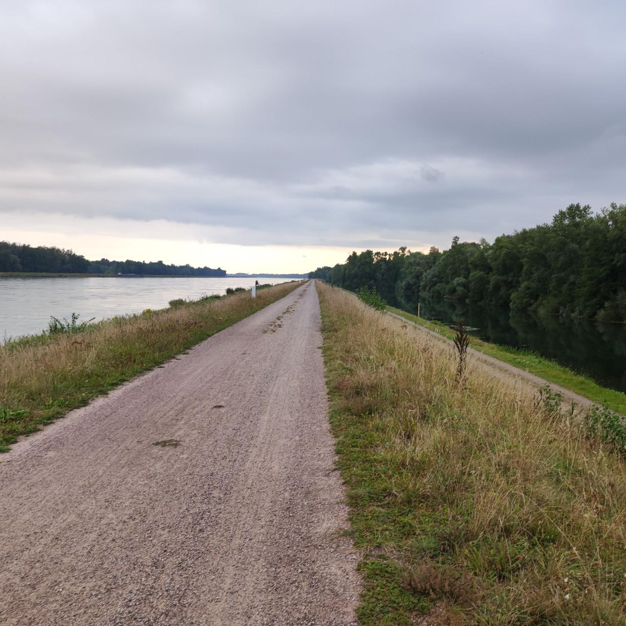
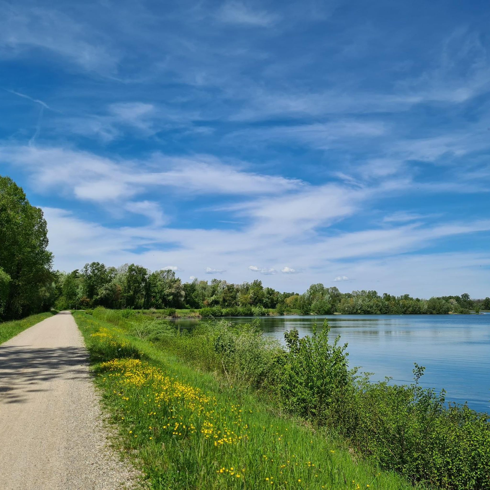
Touring cycling routes around Meißenheim are situated in the "Ried" region of Baden-Württemberg, Germany, characterized by its proximity to the Rhine River. The landscape features extensive riparian forests, tranquil waters, and the "Auenwald" (floodplain forest). Cyclists can also find routes along the tree-lined Canal du Rhône au Rhin and through picturesque countryside with vineyards and rolling hills. The area offers varied terrain suitable for different cycling preferences.
Best touring cycling routes around Meißenheim
- The most popular touring cycling route is…
Last updated: October 12, 2026
4.4
(54)
187
riders
Moderate bike ride. Good fitness required. Mostly paved surfaces. Suitable for all skill levels.
4.7
(24)
132
riders
Easy bike ride. Great for any fitness level. Mostly paved surfaces. Suitable for all skill levels.

4.7
(51)
192
riders
Moderate bike ride. Good fitness required. Mostly paved surfaces. Suitable for all skill levels.
4.6
(29)
101
riders
Easy bike ride. Great for any fitness level. Mostly paved surfaces. Suitable for all skill levels.
4.5
(11)
66
riders
49.4km
03:15
80m
80m
Moderate bike ride. Good fitness required. Mostly paved surfaces. Suitable for all skill levels.
Get access to more routes and recommendations from other explorers.
Already have an account?
Our route recommendations are based on thousands of hikes, rides, and runs completed by other people on komoot.
Start today with a free account
Your next adventure awaits.

Other adventures around Meißenheim

Tips from the Community

The Rhine, with a total length of around 1,233 kilometers, is one of the most important, busiest, and historically significant rivers in Europe. It connects the Alps with the North Sea and flows through six countries.
0
0
The Rhine, with a total length of around 1,233 kilometers, is one of the most important, busiest, and historic rivers in Europe. It connects the Alps with the North Sea and flows through six countries.
0
0
The Rhine, with a total length of around 1,233 kilometers, is one of Europe's most important, busiest, and historically significant rivers. It connects the Alps with the North Sea and flows through six countries.
0
0

a two-lane car-free bridge. one side is for pedestrians and the other for bicycles
1
0

The name of the church is given incorrectly! In the Evangelical church there is no veneration of saints and thus the above designation is reserved for Catholic churches. It is simply: the evangelical church Meißenheim - dedicated to the Trinity (which is not a biblical concept): DEO TRIUNI 1766 You can read it here: https://www.ekimeissenheim.de/?page_id=3 By the way, the grave is that of Friederike Brion. The information board is located to the right of the church entrance. Know-it-all greetings from Mißne.
1
0

simply a strong design. I think it's great.
3
0
The Bridge of the Two Shores is a modern pedestrian and bicycle bridge over the Rhine, connecting the cities of Strasbourg and Kehl. Its French name is „Passerelle des Deux Rives“. The curved steel bridge was opened in 2004 on the occasion of the State Garden Show and is considered a symbol of German-French friendship and European cooperation. It is approximately 387 meters long and was designed by Austrian architect Dietmar Feichtinger. Particularly striking is its elegant arch shape with an observation platform in the middle of the Rhine. From there, you have a beautiful view of the Rhine landscape, the two cities, and the surrounding Garden of the Two Shores. The bridge is used exclusively by pedestrians and cyclists and is a popular destination for walks, bike tours, and excursions.
1
0
An absolute natural idyll. Absolutely beautiful!!
1
0
Frequently Asked Questions
How many touring cycling routes are available around Meißenheim?
There are over 35 touring cycling routes around Meißenheim, catering to various skill levels. You'll find a good mix of easy, moderate, and a few more challenging options to explore the region's diverse landscapes.
What kind of terrain can I expect on the cycling routes in Meißenheim?
The terrain around Meißenheim is quite varied. You can expect routes along the Rhine River and through extensive riparian forests, offering picturesque views and natural surfaces. The Rhine–Rhône Canal Cycle Route features sections of smooth asphalt and fine gravel. Beyond the river, you'll also find routes through picturesque countryside with vineyards and rolling hills, providing a mix of flat and gently undulating paths.
Are there any easy or beginner-friendly cycling routes in Meißenheim?
Yes, Meißenheim offers many easy routes perfect for beginners or those seeking a relaxed ride. For example, the Vältinsschollensee Beach – View of the Rhine Split loop from Meißenheim is an easy 11.4-mile (18.3 km) path offering scenic views of the Vältinsschollensee and the Rhine River. Most of the routes in the area are classified as easy.
What natural features or landmarks can I see along the cycling routes?
Meißenheim's routes are rich in natural beauty and interesting landmarks. You can cycle along the Rhine River, through the 'Auenwald' (riparian forest), and past tranquil waters. Notable features include the Vältinsschollensee, the Elzwehr near Wittenweier, and the Rhine at the Taubergießen Nature Reserve. The Pierre Pflimlin Bridge also offers a unique crossing into France with dedicated bike paths.
Are there any circular cycling routes around Meißenheim?
Yes, many of the touring cycling routes around Meißenheim are designed as loops, allowing you to start and end in the same location. A popular option is the Rhine at Ichenheim – Kehl Marina on the Rhine loop from Meißenheim, an 18.0-mile (29.0 km) trail that takes you along the Rhine riverbank.
What is the best time of year to go touring cycling in Meißenheim?
Meißenheim is ideal for touring cycling from spring through autumn. The region's vibrant outdoor scene and diverse natural features are best enjoyed when the weather is mild. While some routes might be accessible in winter, the warmer months offer the most comfortable and scenic experience.
Are there options for longer-distance cycling or connections to other regions?
Absolutely. Meißenheim is well-connected to regional and international cycling networks. You can link up with the larger Rhine Cycle Route for extensive long-distance journeys. Routes also connect to nearby areas like Strasbourg in France, and the region's proximity to the Black Forest and Vosges mountains offers further opportunities for more challenging excursions.
Where can I park my car when cycling in Meißenheim?
Meißenheim offers various parking options for cyclists. Many routes start from accessible points within the town or at trailheads, where parking is typically available. It's advisable to check specific starting points for designated parking areas, especially for popular routes.
Can I bring my dog on the cycling routes in Meißenheim?
Many of the natural paths and trails around Meißenheim are suitable for cycling with dogs, especially those through the riparian forests and along the Rhine. However, it's always recommended to keep your dog on a leash and be mindful of local regulations, especially in nature reserves like the Thomasschollen, to protect wildlife.
What do other touring cyclists say about the routes in Meißenheim?
The touring cycling routes in Meißenheim are highly regarded by the komoot community, with an impressive average rating of 4.4 stars from over 250 reviews. Cyclists often praise the well-marked trails, the beautiful riparian landscapes along the Rhine, and the variety of routes suitable for different fitness levels.
Are there cafes or places to stop for refreshments along the cycling routes?
Yes, you'll find opportunities for refreshments along many of the routes. Meißenheim itself has local amenities, and the Dundenheim Mill is a notable highlight. The Bachpromenade in Meißenheim also offers a pleasant local recreation area directly at the Mühlbach, perfect for a break. For longer routes, consider planning stops in nearby villages or towns.
Are there any routes that are particularly suitable for families with children?
Many of the easy, flatter routes along the Rhine and the Canal du Rhône au Rhin are excellent for families. These paths often feature smooth surfaces and less elevation gain, making them enjoyable for riders of all ages. The Vältinsschollensee Beach – View of the Rhine Split loop from Meißenheim is a good example of a family-friendly option.
Most popular routes around Meißenheim
Most popular attractions around Meißenheim

Get inspired with the komoot mobile app


Explore more
Browse the best Cycling routes in other regions.
