The best walks and hikes around Meddersheim
4.5
(836)
3,461
hikers
43
hikes
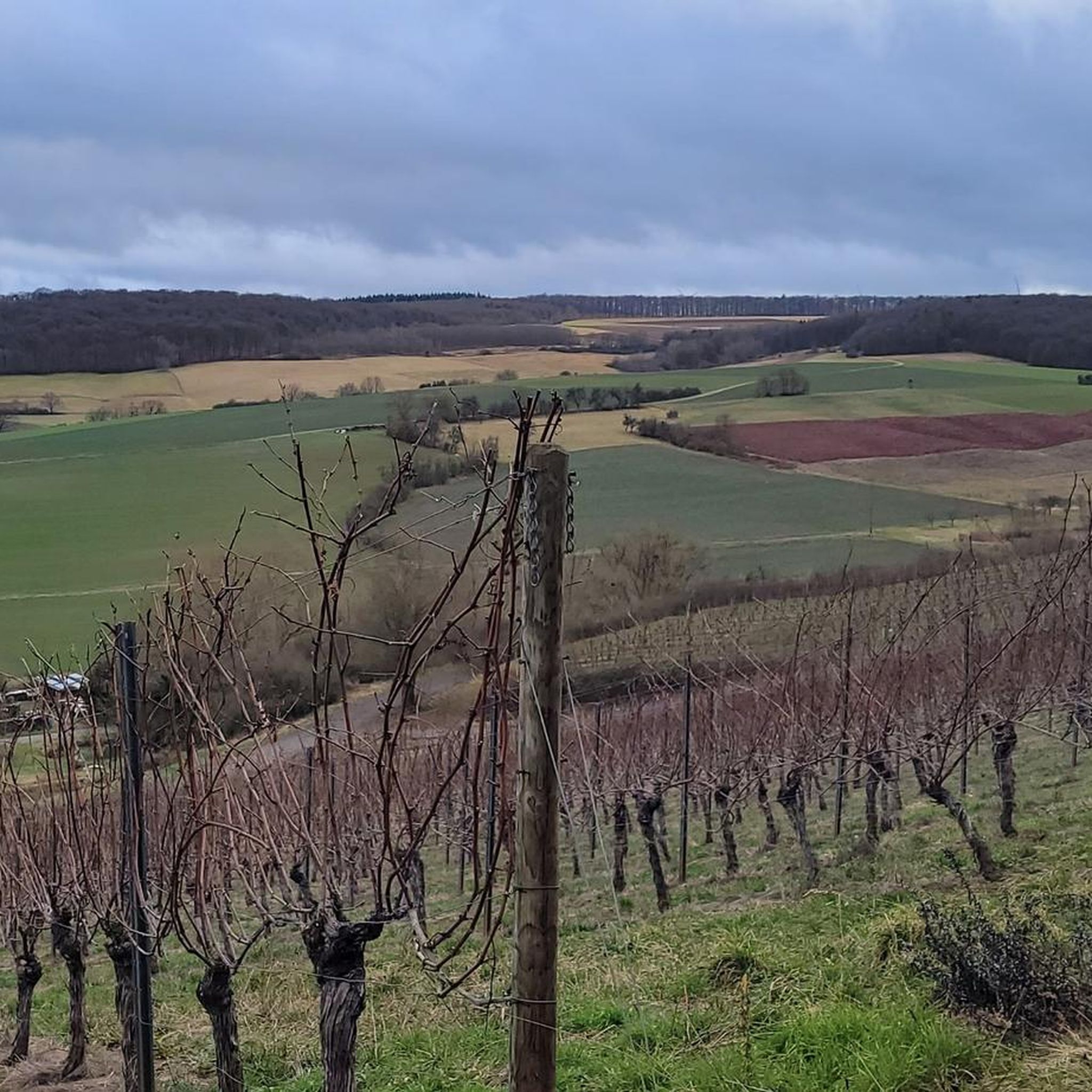
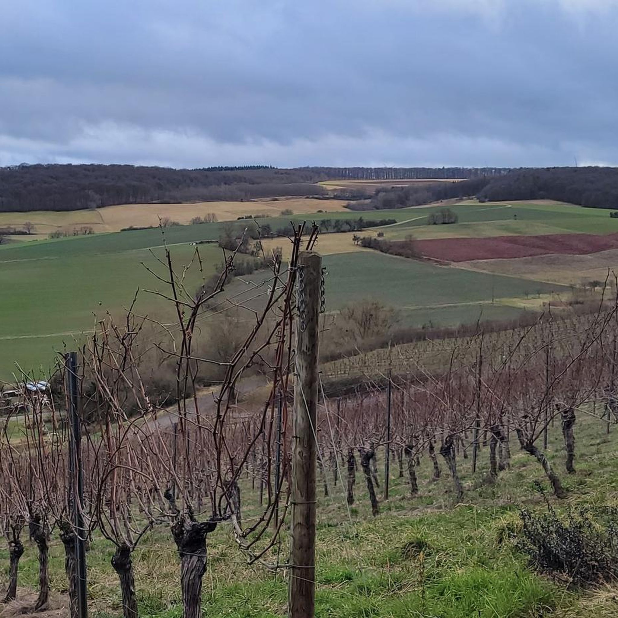
Hiking around Meddersheim offers diverse landscapes within the scenic Nahe valley, characterized by rolling hills, extensive vineyards, and wooded heights. The region's topography includes the edge of the North Palatine Uplands, with elevations like Gibchen and Küppchen providing expansive views. The Nahe river and smaller streams contribute to the natural environment, creating varied terrain for outdoor activities.
Best hiking trails around Meddersheim
- The most popular hiking route is BollAnts Spa in the Park – View of Kahlen Hahn loop from…
Last updated: October 16, 2026
4.7
(74)
317
hikers
12.7km
03:32
230m
230m
Moderate hike. Good fitness required. Easily-accessible paths. Suitable for all skill levels.
4.6
(52)
173
hikers
10.2km
02:46
130m
130m
Moderate hike. Good fitness required. Easily-accessible paths. Suitable for all skill levels.

4.7
(39)
154
hikers
Hard hike. Very good fitness required. Easily-accessible paths. Suitable for all skill levels.
4.5
(4)
22
hikers
Easy hike. Great for any fitness level. Easily-accessible paths. Suitable for all skill levels.
3.7
(6)
18
hikers
6.81km
02:01
210m
210m
Moderate hike. Good fitness required. Easily-accessible paths. Suitable for all skill levels.
Get access to more routes and recommendations from other explorers.
Already have an account?
Our route recommendations are based on thousands of hikes, rides, and runs completed by other people on komoot.
Start today with a free account
Your next adventure awaits.

Tips from the Community

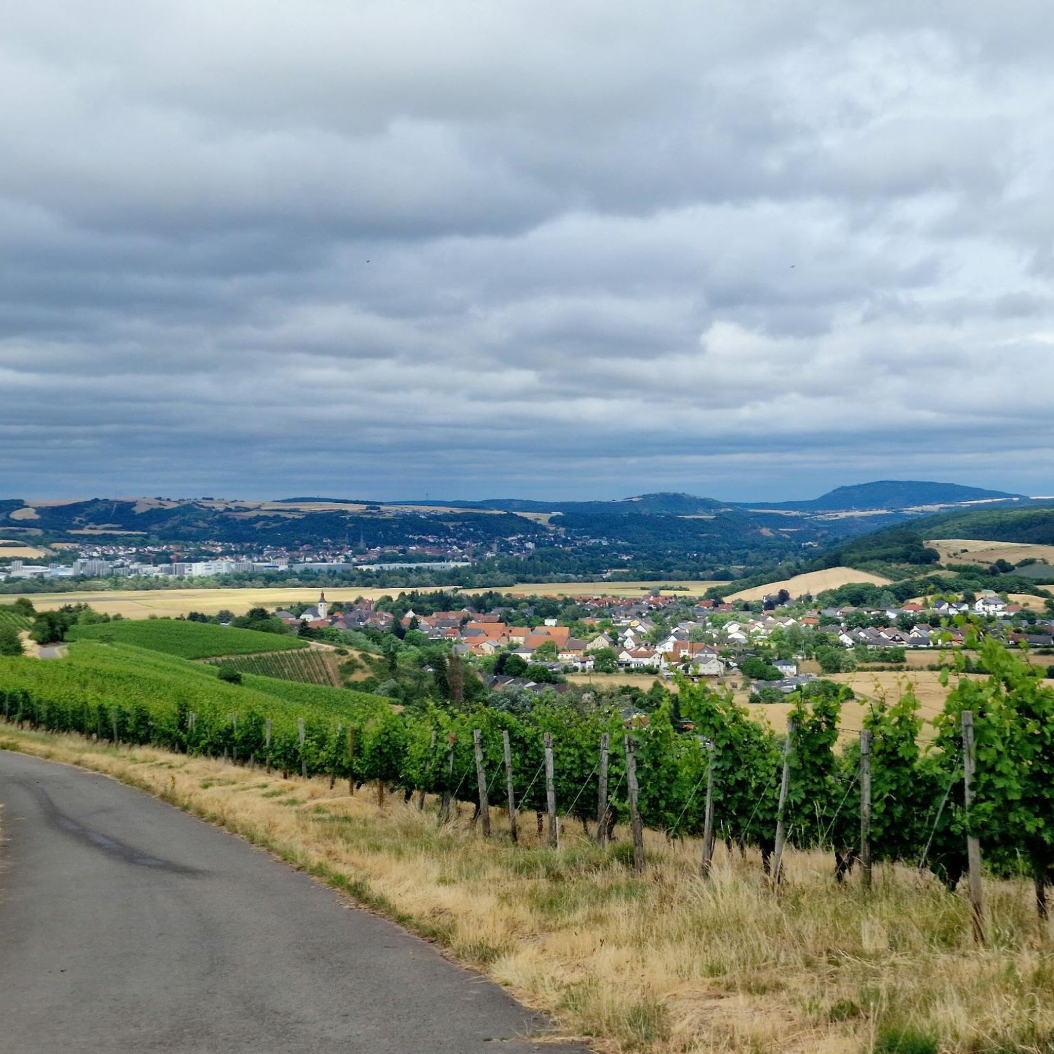
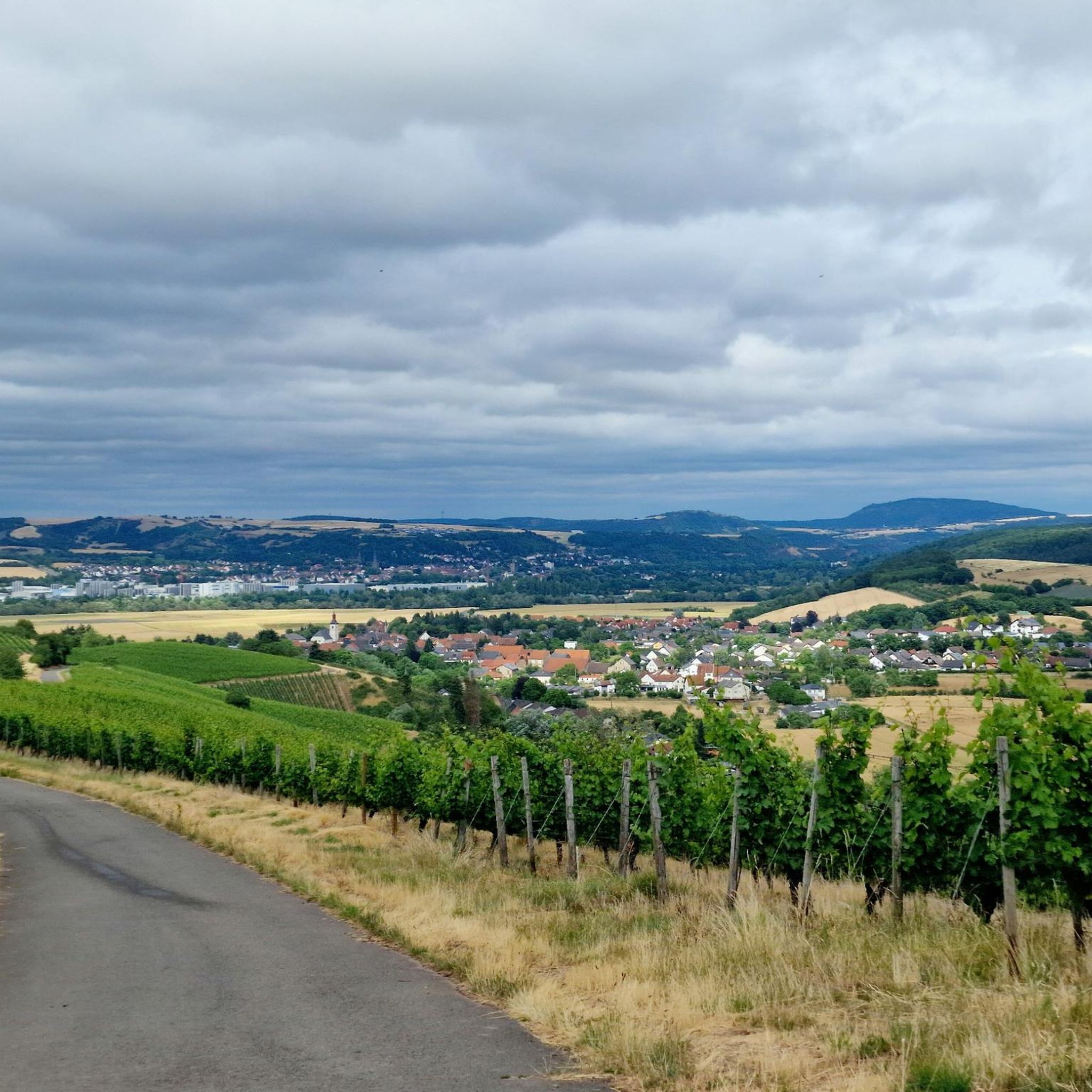
The "Most Beautiful Wine View Nahe" 2016 is located on the plateau of Meddersheimer Altenberg at 300m above sea level and marks the uppermost Nahe terrace.
0
0

A very beautiful hiking trail with magnificent panoramic views as far as the Donnersberg mountain.
0
0

Unfortunately, filling the wine filling station had to be stopped. The reason: young people could uncontrollably dispense alcohol. Everyone has their own opinion. But it's a law.
0
0

A small path leads to the Nahe River. Here you can spend some time by the river.
0
0
The fountain appears to be used for baptisms? I can't think of any other explanation for the depiction of the stork.
0
0

View of Kirschroth
0
0
Nice for swinging with a view
0
0
Bench at the edge of the forest beautiful
0
0
Frequently Asked Questions
How many hiking trails are available around Meddersheim?
There are over 40 hiking routes in the Meddersheim area, offering a variety of experiences from easy vineyard strolls to more challenging routes through the uplands. The komoot community has rated these trails highly, with an average score of 4.5 stars.
What kind of landscapes will I encounter on hikes near Meddersheim?
Hikes around Meddersheim showcase the diverse beauty of the Nahe valley. You'll find rolling hills, extensive vineyards, and wooded heights. The region is characterized by picturesque wine country, especially beautiful in spring during blossom and in autumn during the grape harvest, as well as dense forests and views of the Nahe river.
Are there easy hiking trails suitable for families or beginners in Meddersheim?
Yes, Meddersheim offers several easy trails perfect for families or those seeking a relaxed walk. For example, the Hand Pump at Altenberger Bach – View along the Fuchspfad hiking trail loop from Meddersheim is an easy 4.5 km loop that takes just over an hour to complete, offering gentle terrain and scenic views.
Are there any circular hiking routes in Meddersheim?
Meddersheim is well-known for its circular hiking routes. Many trails start and end in the village, allowing you to explore the vineyards and forests without retracing your steps. The Gottesbrünnlein Fountain – BollAnts Spa in the Park loop from Meddersheim is a popular moderate circular path winding through vineyards and wooded areas.
Can I bring my dog on the hiking trails in Meddersheim?
Generally, dogs are welcome on hiking trails around Meddersheim. The natural environment, with its forests and open spaces, provides a great experience for you and your canine companion. Always keep your dog on a leash, especially in vineyard areas or near wildlife, and be mindful of local regulations.
What are some notable landmarks or viewpoints I can see while hiking in Meddersheim?
While hiking, you can discover several impressive viewpoints. The 'Schönste Weinsicht 2016' (Most Beautiful Wine View 2016), also known as the 'Meddersheimer Balkon', offers unique panoramas over the volcanic Nahe valley, extending to the Hunsrück-Hochwald National Park and the Donnersberg. You can also enjoy views of the Nahe Wine Region Vineyards, such as the Nahe Wine Region Vineyards.
Are there any waterfalls near Meddersheim that I can visit?
Yes, the region around Meddersheim features several charming waterfalls. You can explore highlights like the Trübenbach Waterfall, the Kellenbacher Woog Waterfall, or the Wiesbach Small Waterfall, which offer refreshing natural sights along your hike.
What is the best time of year to go hiking in Meddersheim?
Meddersheim offers great hiking opportunities throughout the year. Spring is beautiful with blossoming vineyards, while autumn provides stunning colors during the grape harvest. Summers are warm, and winters are mild, making it possible to hike in most seasons. Always check local weather conditions before heading out.
Are there options for longer, more challenging hikes in the Meddersheim area?
Yes, for those seeking more challenging routes, Meddersheim provides access to longer trails. The long-distance Soonwaldsteig trail runs directly through Meddersheim, offering breathtaking views. Additionally, routes like the Riesling Fountain, Kirschroth – Wildgrafenberg spring loop from Meddersheim cover over 17 km and involve significant elevation changes, providing a more strenuous experience.
What do other hikers enjoy most about hiking in Meddersheim?
The hiking trails around Meddersheim are highly rated by the komoot community, with an average score of 4.5 stars from over 700 reviews. Hikers frequently praise the diverse landscapes, from picturesque vineyards to peaceful forests, and the stunning panoramic views over the Nahe valley.
Is there public transport available to reach trailheads in Meddersheim?
Meddersheim is situated in the Nahe valley, and while local buses connect to nearby towns, direct public transport to all trailheads might be limited. It's advisable to check local bus schedules in advance or consider starting your hike directly from the village center, where many circular routes begin.
Where can I park my car when hiking in Meddersheim?
Parking is generally available in and around Meddersheim, particularly near the village center or designated hiking trail starting points. Look for public parking areas, especially if you plan to embark on one of the many circular routes that begin in the village.
Most popular routes around Meddersheim
Most popular attractions around Meddersheim

Get inspired with the komoot mobile app


Explore more
Browse the best Hikes in other regions.
