The best walks and hikes around Medard
4.5
(1663)
5,841
hikers
425
hikes
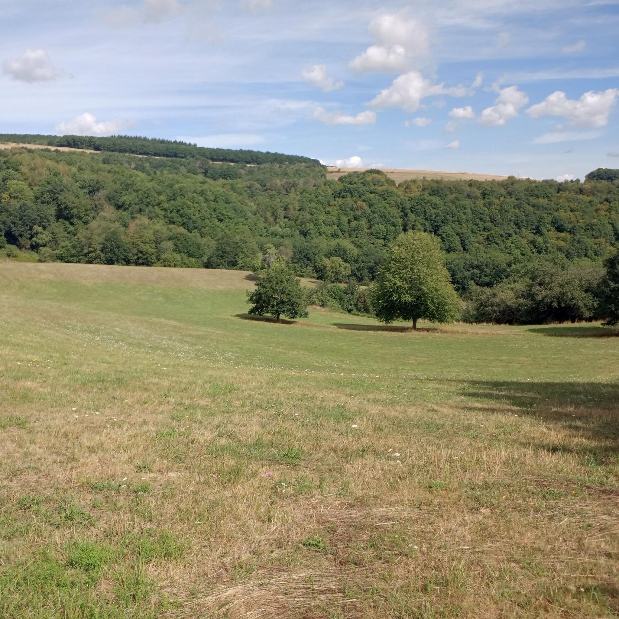
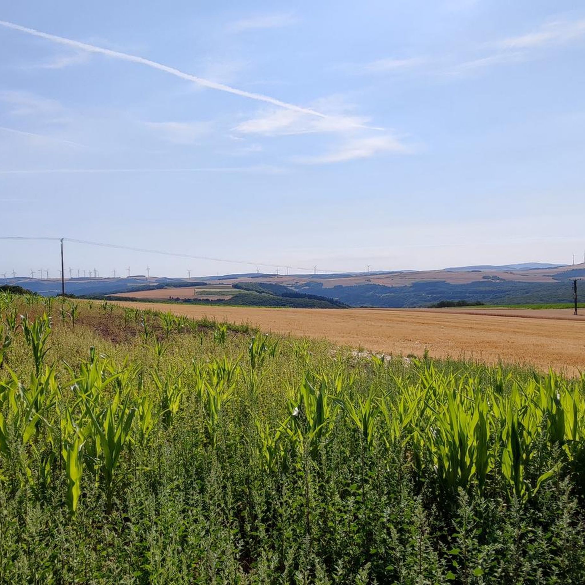
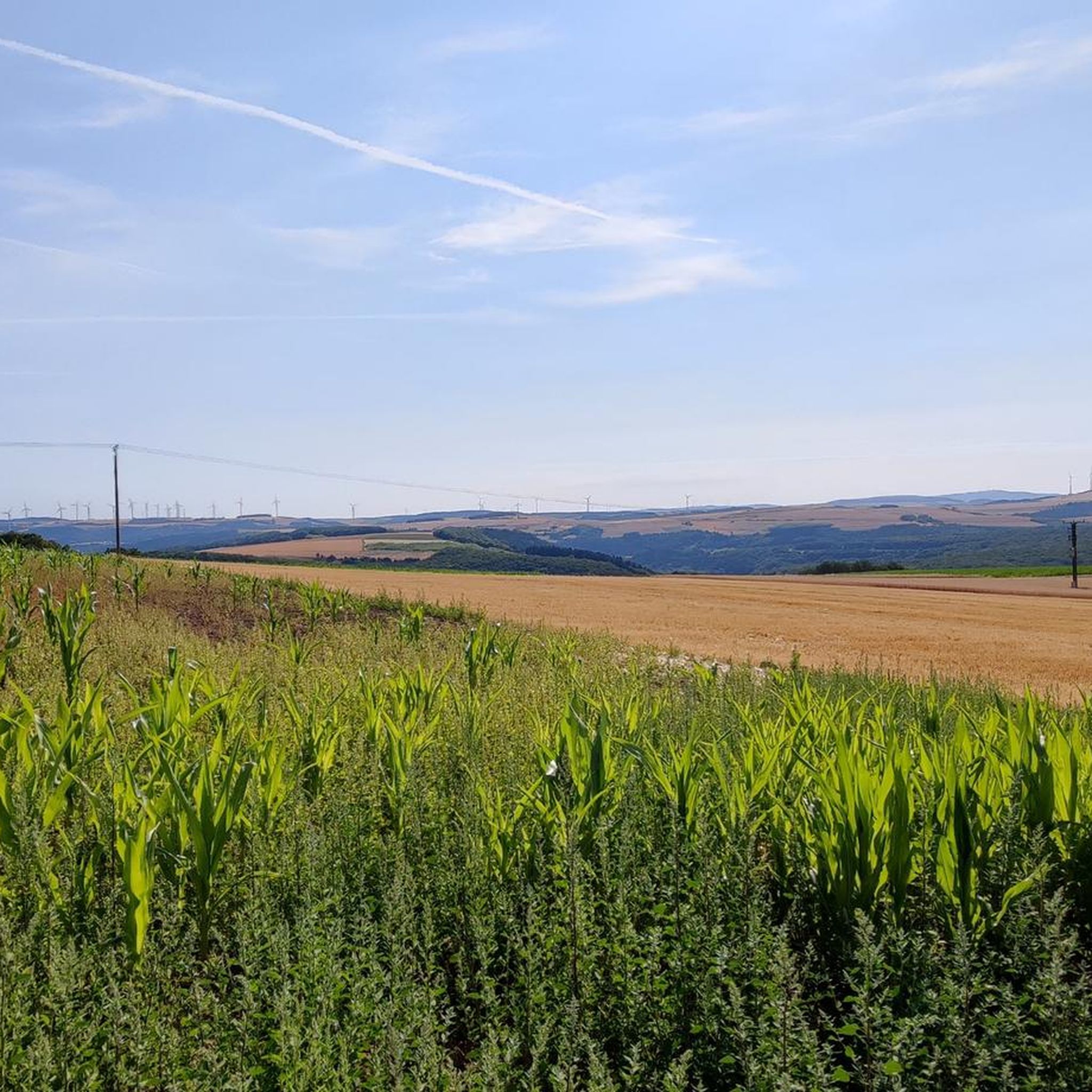
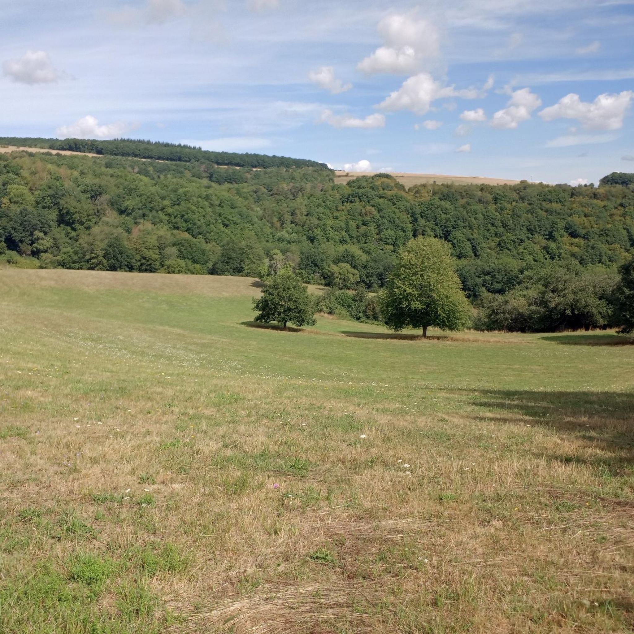
Hiking around Medard offers a diverse landscape characterized by rolling hills and varied forest types. The region features a mix of dense woodlands, open paths, and routes that traverse agricultural areas. Elevations are generally moderate, providing accessible trails for a range of abilities.
Best hiking trails around Medard
- The most popular hiking route is Old Town Meisenheim loop from Medard, a 11.3 miles (18.3 km) trail that takes 5 hours to complete. This route features varied terrain and leads…
Last updated: June 30, 2026
4.5
(100)
295
hikers
13.3km
03:50
330m
330m
Moderate hike. Good fitness required. Easily-accessible paths. Suitable for all skill levels.
4.9
(10)
50
hikers
Moderate hike. Good fitness required. Easily-accessible paths. Suitable for all skill levels.

Sign up for free
4.7
(9)
22
hikers
Moderate hike. Good fitness required. Easily-accessible paths. Suitable for all skill levels.
5.0
(3)
21
hikers
Moderate hike. Good fitness required. Easily-accessible paths. Suitable for all skill levels.
4.6
(18)
32
hikers
12.5km
03:24
190m
190m
Moderate hike. Good fitness required. Easily-accessible paths. Suitable for all skill levels.
Get access to more routes and recommendations from other explorers.
Sign up for free
Already have an account?
Our route recommendations are based on thousands of hikes, rides, and runs completed by other people on komoot.
Start today with a free account
Your next adventure awaits.
Login or Signup
Tips from the Community

Terminal of the Lautertalbahn from Kaiserslautern main station to here.
2
0

Three-story late Gothic building with a half-hipped roof, partially slated timber framing, hall ground floor, around 1517, architect probably Philipp von Gmünd; stair tower 1580, spindle 1652
2
0
five-arched quarry stone bridge over the Lauter with breakwaters, before the middle of the 17th century
3
0
Sandstone hall building, bell tower with tent roof, round arch style, 1848–53, architect: building inspector Purreiner
2
0

A great tour with Oscar in hot weather
0
0

The Catholic Church of St. Franz Xaver in the center of Lauterecken was built between 1848 and 1853 and consecrated on July 31, 1853.
1
0

Former shaft furnace of the lime works of the company C. and L. Schlemmer; Three-storey, tapered chimney, 1922 Source: Wikipedia
0
0
Beautiful rest area on the banks of the Glarus in Medard
1
0
Frequently Asked Questions
How many hiking trails are available around Medard?
There are over 420 hiking routes available around Medard, catering to various preferences and skill levels. You'll find a wide selection from easy strolls to more challenging, longer routes.
Are there easy hiking trails suitable for beginners or families in Medard?
Yes, Medard offers many easy hiking options. For instance, the Black Sphere Fountain – Lauterecken-Grumbach Station loop from Medard is an easy 4.5-mile path with gentle gradients, typically completed in under two hours. Another accessible option is the Glan-Blies Cycle Path – 19th-Century Wall Fountain loop from Medard, which is about 3 miles long.
What kind of landscapes can I expect to see while hiking in Medard?
Hiking around Medard offers diverse landscapes, including rolling hills, dense woodlands, and open paths that sometimes traverse agricultural areas. The region is characterized by its forest paths and routes connecting to local towns, providing a mix of natural beauty and cultural insights.
Are there any circular hiking routes in Medard?
Yes, many routes in Medard are circular. Popular options include the Old Town Meisenheim loop from Medard, a longer 11.3-mile trail, and the Forest Path in the Palatinate – Forest Shelter with Benches loop from Medard, which is a 4.4-mile route through dense forest.
What are some interesting natural attractions or landmarks to explore near Medard?
Beyond the trails, you can explore several natural and historical attractions. There are numerous lakes, such as Blaue Halde Spring and Pond and Entenpuhlweiher. For historical sites, consider visiting the Ruins of Neu-Wolfstein Castle or the Historic Old Town of Wolfstein.
What do other hikers say about the trails in Medard?
The hiking routes in Medard are highly regarded by the komoot community, holding an average rating of 4.5 stars from over 1500 reviews. Hikers often praise the varied terrain, the beauty of the forest paths, and the well-maintained trails.
Are there any longer, more challenging hikes around Medard?
For those seeking a more challenging experience, the Old Town Meisenheim loop from Medard is a difficult 11.3-mile trail with significant elevation changes, taking approximately 5 hours to complete. This route offers varied terrain and leads through historical areas.
Can I find trails that connect to local towns or historical sites?
Yes, many routes in Medard are designed to connect to local towns and historical areas. For example, the Old Town Meisenheim loop from Medard specifically leads through historical areas, allowing you to combine hiking with cultural exploration.
What is the typical duration for hikes in Medard?
Hike durations vary widely depending on the route's length and difficulty. Easy trails like the Black Sphere Fountain – Lauterecken-Grumbach Station loop from Medard can be completed in under two hours, while longer, more difficult routes such as the Old Town Meisenheim loop from Medard may take around 5 hours.
Are there any trails that offer views of water bodies?
While the guide data doesn't specify trails with direct water views, the region features several lakes and ponds, such as Idyllic Forest Pond and Kirschrother Weiher, which are often accessible via hiking paths and offer scenic spots.
What kind of elevation changes can I expect on Medard's hiking trails?
Elevations in Medard are generally moderate, with rolling hills providing accessible trails for a range of abilities. While some routes have minimal elevation gain, others, like the Old Town Meisenheim loop from Medard, feature more significant ascents and descents, offering a more challenging workout.
Most popular attractions around Medard

Get inspired with the komoot mobile app


Explore more
Browse the best Hikes in other regions.
