The best traffic-free bike rides around Laborel
4.7
(90)
2,520
riders
13
rides
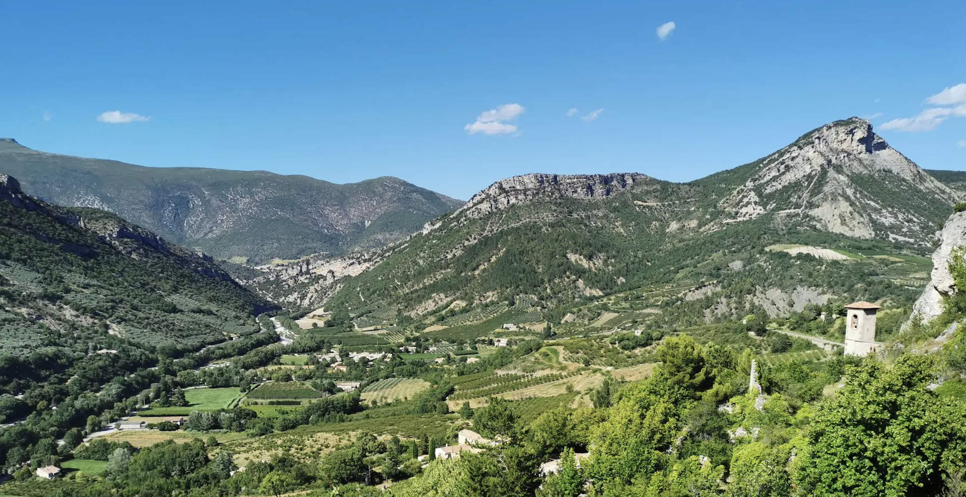
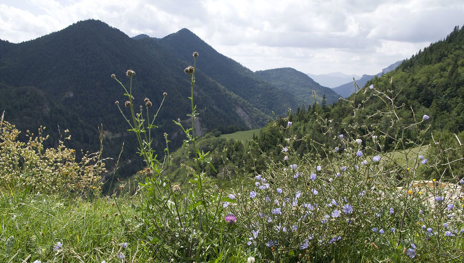
No traffic road cycling routes around Laborel offer diverse terrain within the Baronnies Provençales Regional Natural Park, characterized by limestone mountains, deep river gorges, and extensive forests. The region features a blend of Mediterranean and Alpine influences, with waterways like the Méouge and Eygues carving through the landscape. Cyclists can expect varied elevations, from valley roads to challenging climbs, all set amidst a mosaic of pine and oak forests, lavender fields, and olive groves.
Best no traffic road cycling routes…
Last updated: July 2, 2026
4.5
(2)
71
riders
44.7km
02:23
890m
890m
Moderate road ride. Good fitness required. Mostly well-paved surfaces and easy to ride.
4.0
(1)
45
riders
44.4km
02:49
970m
970m
Hard road ride. Very good fitness required. Some segments of this route may be unpaved and difficult to ride.

Sign up for free
4.5
(2)
35
riders
49.0km
02:35
870m
870m
Moderate road ride. Good fitness required. Mostly well-paved surfaces and easy to ride.
5.0
(2)
63
riders
72.5km
03:51
1,410m
1,410m
Hard road ride. Very good fitness required. Mostly well-paved surfaces and easy to ride.
23
riders
35.0km
01:43
540m
540m
Moderate road ride. Good fitness required. Mostly well-paved surfaces and easy to ride.
Get access to more routes and recommendations from other explorers.
Sign up for free
Already have an account?
Our route recommendations are based on thousands of hikes, rides, and runs completed by other people on komoot.
Start today with a free account
Your next adventure awaits.
Login or Signup



Tips from the Community

For cyclists: * West side (Montauban-sur-l’Ouvèze / La Combe): 11-12.5 km with an average gradient of around 5%, maximum about 9%. Steady climb, never extreme. * East side (Laborel): 8.5 km at 5.6% on average, with peaks up to 7.7%. This is the shorter and smoother side.
9
0
Col de Perty is located in the Baronnies Provençales massif, in the Drôme department, in the Auvergne-Rhône-Alpes region, in the southeast of France. It reaches an altitude of 1,302 m and connects the Ouvèze valley with the Orpierre area, in the Hautes-Alpes.
9
0
Altitude: 1,159 m * Region: Drôme, on the border with the Hautes-Alpes department. * Connects: the villages of Laborel and Lachau with the Céans valley.
5
0
Col de la Saulce is a pass in the Baronnies, located in the Hautes-Alpes department, at an altitude of 874 m. It connects the Eygues valley with the Buëch valley and is crossed by the departmental road D994.
10
0
Panoramic viewpoint for memorable photos
9
0
The trends are always simple
9
0
The Col du Reychasset is a pass located at an altitude of 1,052 m, in the Drôme department, within the Regional Natural Park of the Baronnies provençales. It connects the Armalause valley with the Céans valley, between the municipalities of Chauvac-Laux-Montaux and Villebois-les-Pins.
9
0
Orpierre is a small medieval village located in the Hautes-Alpes department in the Provence-Alpes-Côte d’Azur region of southeastern France. It has a population of between 300 and 330 inhabitants and stands in the Céans valley, surrounded by limestone cliffs and mountains that give it a unique landscape setting.
15
0
Frequently Asked Questions
How many no-traffic road cycling routes are available around Laborel?
There are 12 dedicated no-traffic road cycling routes around Laborel featured in this guide. These routes offer a range of challenges, with 7 classified as moderate and 5 as difficult, ensuring options for various skill levels.
What is the best time of year for no-traffic road cycling in Laborel?
The mild climate during spring (April-May) and autumn (September-October) offers ideal conditions for long rides amidst stunning scenery. During these months, you can enjoy the vibrant colors of lavender fields and olive groves, and comfortable temperatures for cycling.
Are there any easy or beginner-friendly no-traffic road cycling routes in Laborel?
While the routes in this guide are primarily moderate to difficult, offering significant elevation gains, beginners can still find enjoyable sections. For a moderate challenge, consider the Orpierre village centre – Orpierre loop from Étoile-Saint-Cyrice, which covers 29.7 km with a manageable elevation gain.
What scenic viewpoints or natural features can I expect on these no-traffic routes?
Laborel's location in the Baronnies Provençales Regional Natural Park means you'll encounter diverse landscapes. Many routes offer panoramic views of limestone mountains, pine and oak forests, and agricultural lands. The Gorges de la Méouge are a highlight, with a scenic road winding through dramatic cliffs and past the turquoise Méouge River. You might also pass by the historic Roman bridge.
Are there any circular no-traffic road cycling routes available?
Yes, many of the routes around Laborel are designed as loops, allowing you to start and finish in the same location. For example, the Serres – Montjay loop from Orpierre is a moderate 56.8 km circular route, and the Orpierre loop from Orpierre offers a shorter 29.8 km option.
What kind of attractions or landmarks can I see along the no-traffic road cycling routes?
Beyond the natural beauty, you can discover charming villages and notable mountain passes. The route Saint-André-de-Rosans – Medieval village of Rosans loop from Laux-Montaux takes you past the historic medieval village of Rosans. You'll also encounter significant climbs like Perty Pass and Col de Pierre Vesce, which offer stunning views.
Are there longer no-traffic road cycling routes for experienced cyclists?
Absolutely. For a more challenging and longer ride, consider the La Charce Castle – COL DE POMMEROL loop from Montjay. This difficult route spans over 60 km with significant elevation gain, providing a rewarding experience for seasoned road cyclists.
What do other road cyclists enjoy most about cycling in Laborel?
The area is highly rated by the komoot community, with an average score of 4.6 stars from 76 ratings. Reviewers often praise the region's well-maintained roads, the detailed 'Col information Signs' at the start of climbs, and the stunning, diverse landscapes that make for truly memorable no-traffic rides.
Are there opportunities for refreshments or cafes along the no-traffic routes?
While specific cafes are not listed for every route, many routes pass through or near small villages like Orpierre or Séderon, where you can often find local shops or cafes to refuel and take a break. It's always a good idea to carry sufficient water and snacks, especially on longer rides.
Is parking available near the starting points of these no-traffic road cycling routes?
Yes, many of the routes start from or pass through villages like Orpierre, Montjay, or Étoile-Saint-Cyrice, which typically offer public parking facilities. It is advisable to check local parking options in your chosen starting village before your ride.
Are the no-traffic road cycling routes around Laborel suitable for families with children?
Given that all routes in this guide are classified as moderate to difficult with significant elevation, they may not be ideal for very young children or families seeking entirely flat, easy rides. However, older, experienced cycling families might enjoy the challenge and the beautiful scenery. Always check the route details for distance and elevation before setting out.
Most popular attractions around Laborel

Get inspired with the komoot mobile app


Explore more
Browse the best Road cycling routes in other regions.
