The best family-friendly hikes and walks around Charolles
4.5
(1357)
5,955
hikers
164
hikes
Family friendly hiking trails around Charolles traverse a landscape characterized by rolling hills, lush green meadows, and dense hedged farmland, known as "bocage." The region is shaped by the confluence of the Arconce and Semence rivers, with charming riverside paths and numerous footbridges. Prominent natural features include the Montagne de Dun and the Butte de Suin, offering elevated views over the pastoral scenery. This area provides a variety of trails suitable for families seeking to explore its natural beauty and…
Last updated: July 2, 2026
4.9
(10)
51
hikers
6.55km
01:46
90m
90m
Easy hike. Great for any fitness level. Easily-accessible paths. Suitable for all skill levels.
4.8
(6)
60
hikers
5.55km
01:26
30m
30m
Easy hike. Great for any fitness level. Easily-accessible paths. Suitable for all skill levels.

Sign up for free
4.3
(7)
29
hikers
5.95km
01:39
100m
110m
Easy hike. Great for any fitness level. Easily-accessible paths. Suitable for all skill levels.
4.7
(7)
19
hikers
7.32km
02:13
260m
260m
Moderate hike. Good fitness required. Easily-accessible paths. Suitable for all skill levels.
4.0
(5)
19
hikers
Moderate hike. Good fitness required. Easily-accessible paths. Suitable for all skill levels.
Get access to more routes and recommendations from other explorers.
Sign up for free
Already have an account?
Our route recommendations are based on thousands of hikes, rides, and runs completed by other people on komoot.
Start today with a free account
Your next adventure awaits.
Login or Signup
Popular around Charolles
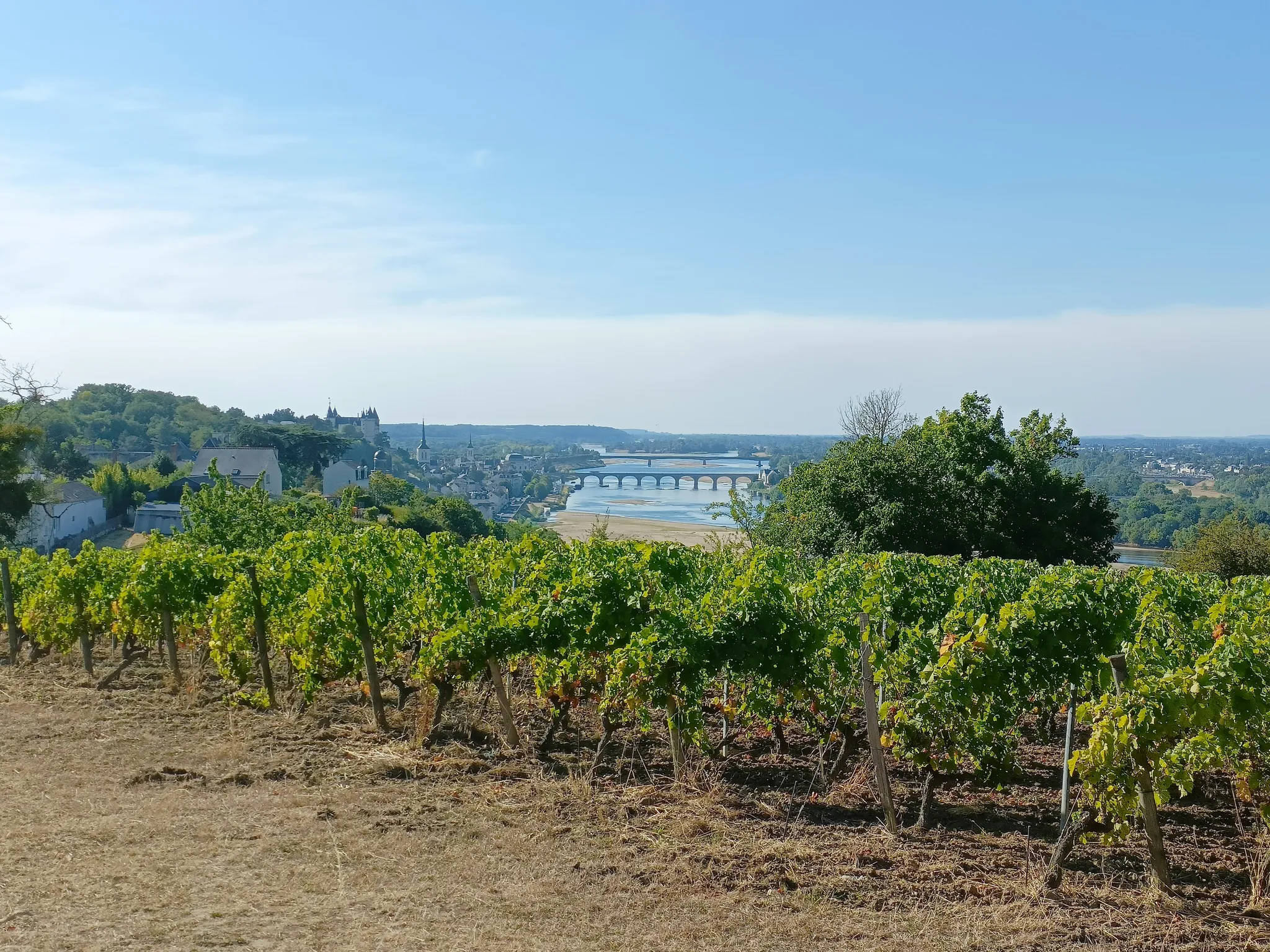
GR3 from the ocean to its source – The Loire, a wild European river
The Loire from ocean to source – GR 3 between Gilly-sur-Loire and Chabreloche
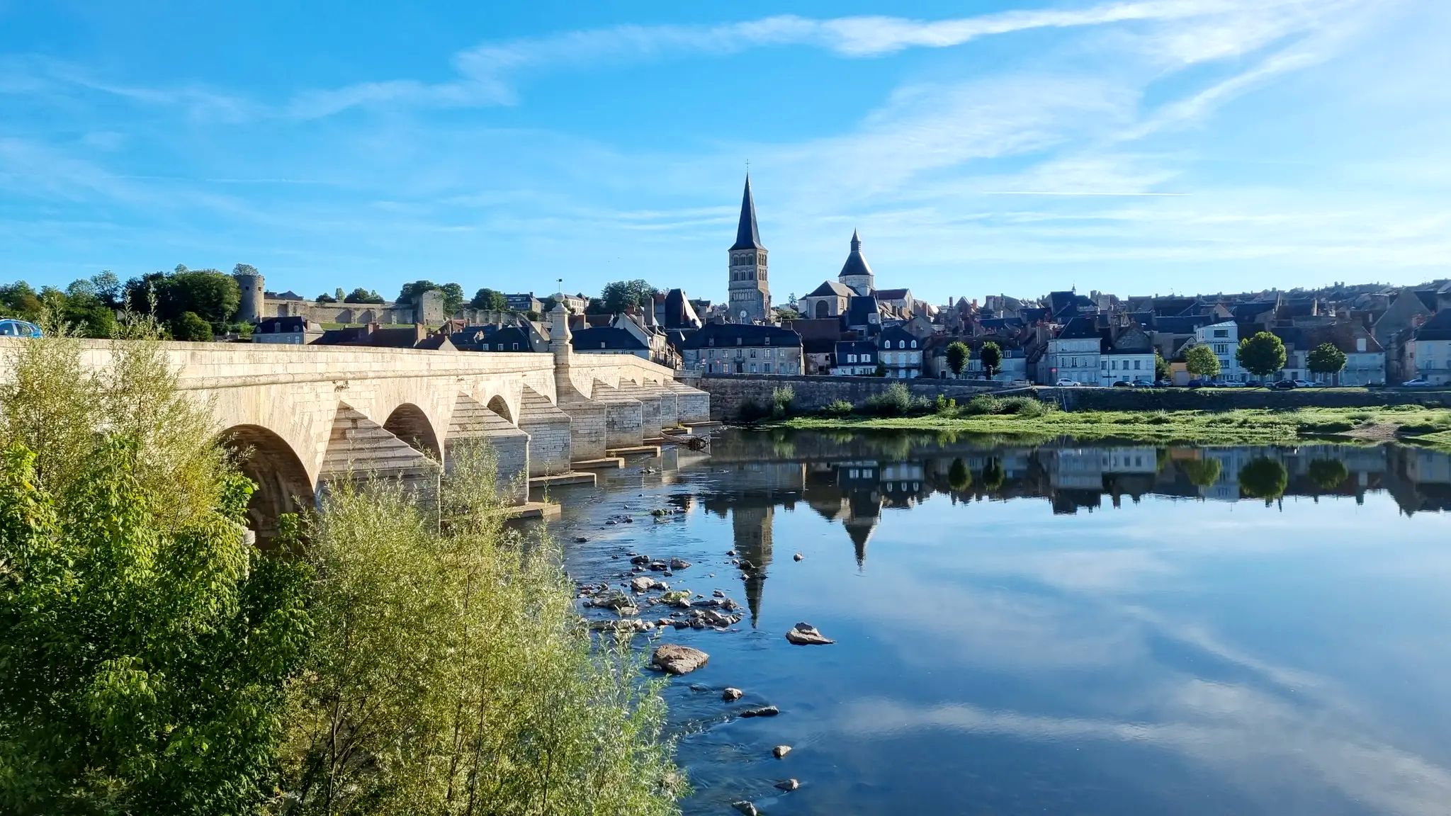
The Loire from source to ocean – GR3 in Burgundy-Franche-Comté

The Grande traversée du Massif Central by gravel bike
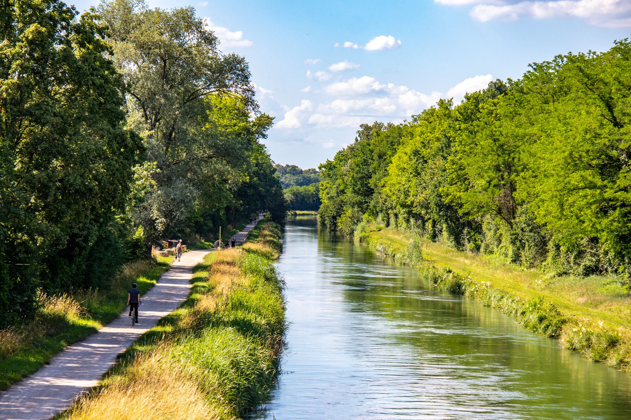
EuroVelo 6 – between the Rhine and the Loire by bike
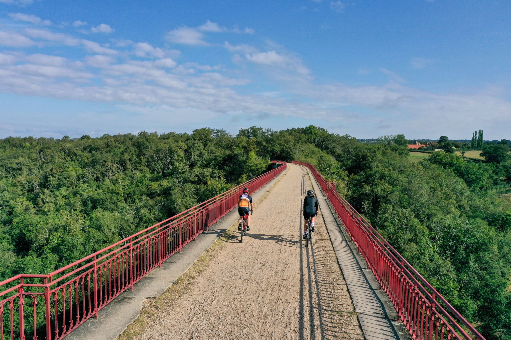
Allier Bourbonnais by bike – mythical routes and secret escapes
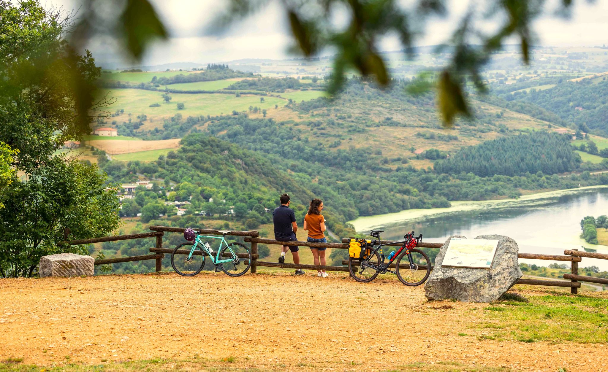
A green escape along the Loire river – La Véloire
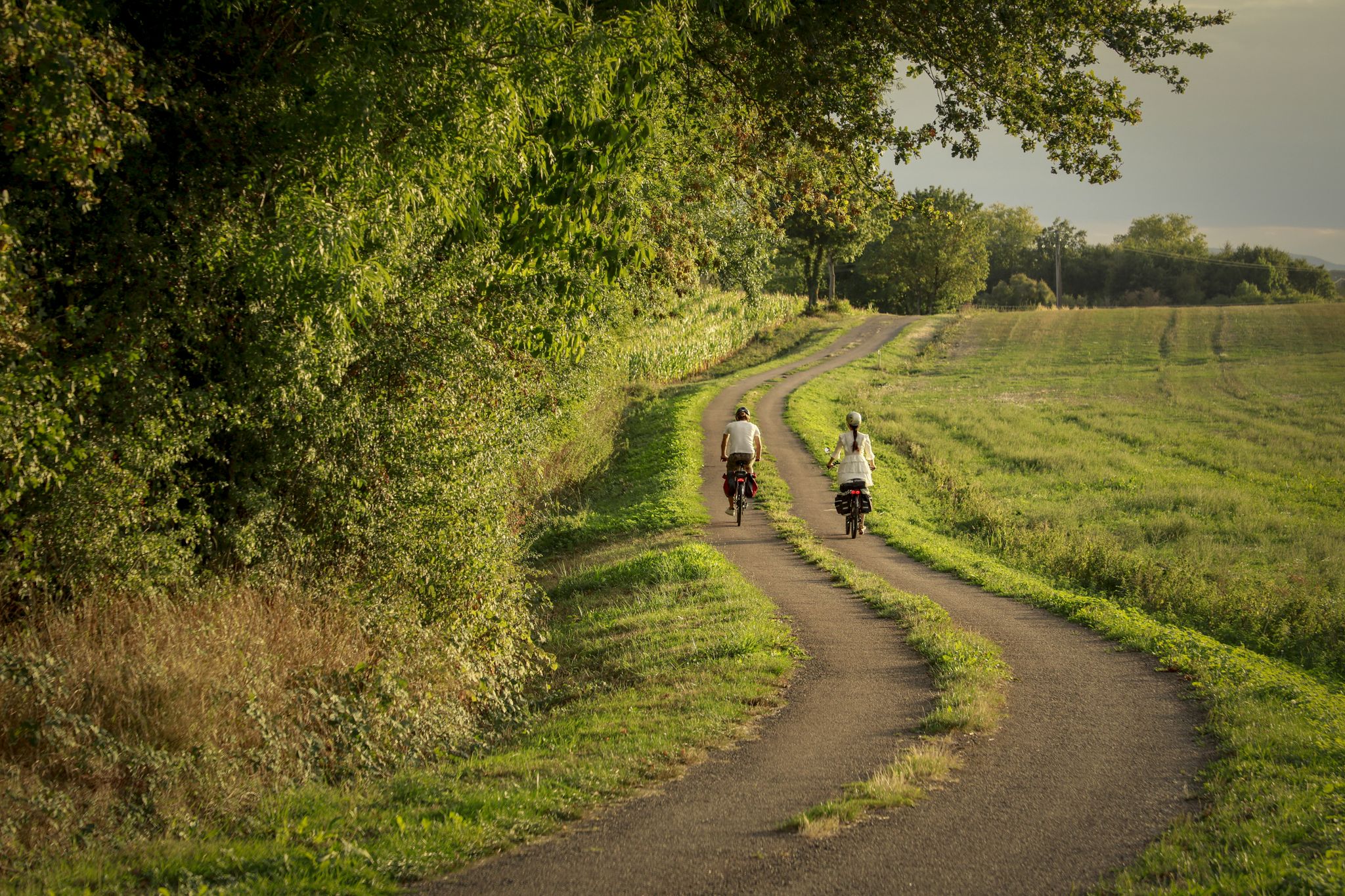
The CycloRoute71 — cycling around the Saône-et-Loire
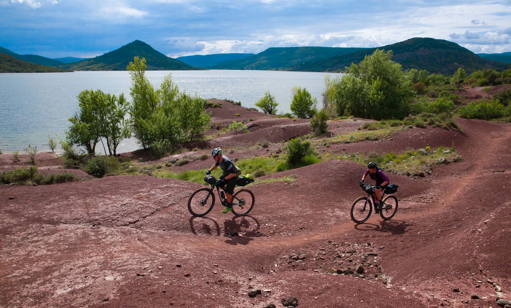
The Great Crossing of France's Massif Central by mountain bike

‘La Joyeuse Vadrouille’ – two months cycling with the family
Other adventures around Charolles


Tips from the Community

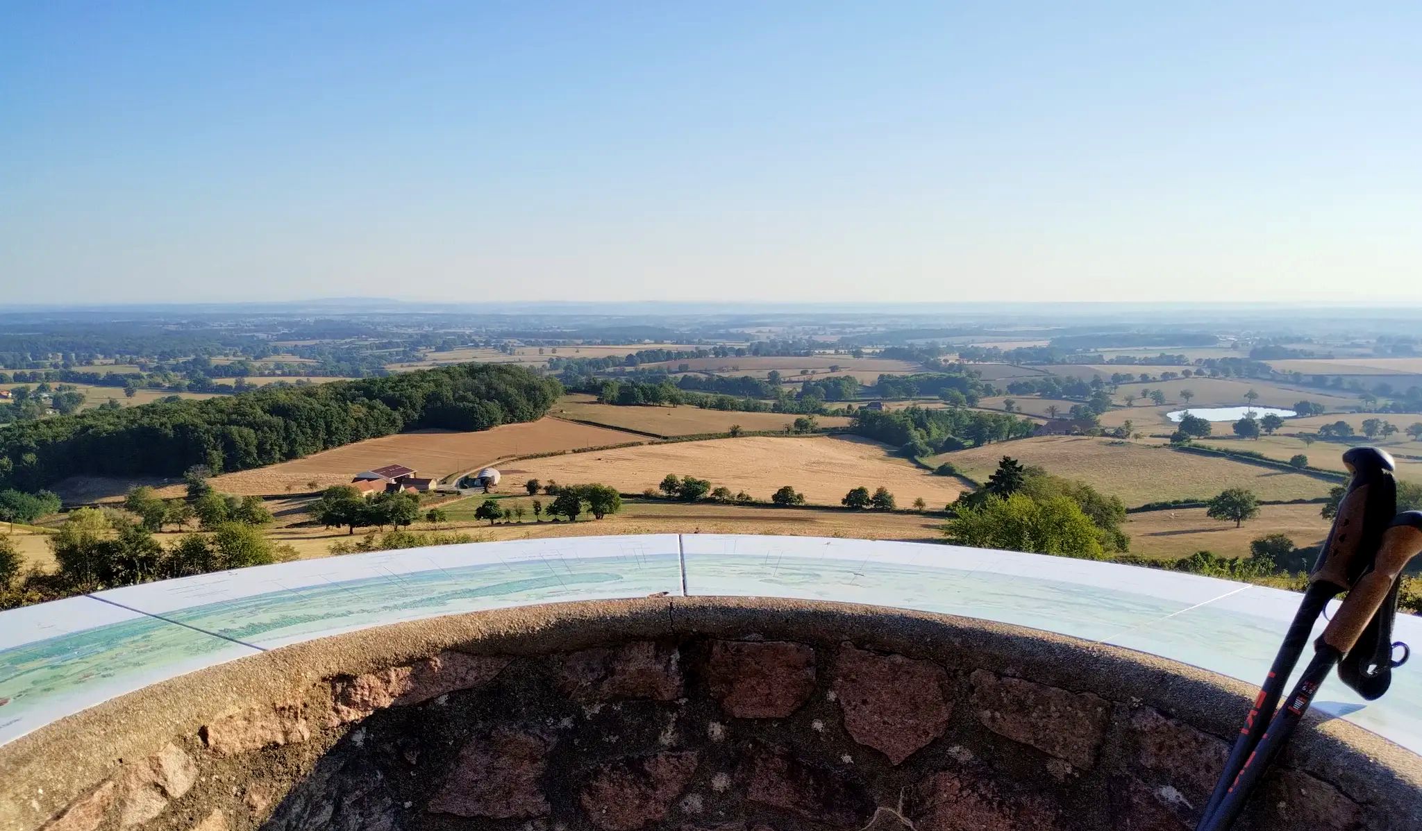
Mont Saint-Cyr is located in southern Burgundy (Saône-et-Loire department) in the municipality of Montmelard and, at 771 meters, is the highest point in the Mâconnais mountains. From the summit, there is a wide panoramic view of the surrounding landscapes of Charolais, Brionnais, and Clunisois. In very clear weather, the view extends eastwards to Mont Blanc in the Alps. On the mountain are the historical remains of a 10th-century monastery, which was destroyed during the Wars of Religion. There is a picnic area in the forest, as well as orientation panels that help identify the surrounding peaks and valleys.
0
0
Mont Saint-Cyr is located in southern Burgundy (Département Saône-et-Loire) in the municipality of Montmelard and, at 771 meters, is the highest point in the Mâconnais mountains. From the summit, there is a wide panoramic view of the surrounding landscapes of Charolais, Brionnais, and Clunisois. In very clear weather, the view to the east even extends to Mont Blanc in the Alps. On the mountain are the historical remains of a 10th-century monastery that was destroyed during the Huguenot Wars. There is a picnic area in the forest, as well as orientation panels that are helpful in identifying the surrounding peaks and valleys.
0
0
Mont Saint-Cyr is located in southern Burgundy (Saône-et-Loire department) in the municipality of Montmelard and, at 771 meters, is the highest point of the Mâconnais mountains. From the summit, there is a wide panoramic view of the surrounding landscapes of Charolais, Brionnais, and Clunisois. In very clear weather, the view extends eastwards to Mont Blanc in the Alps. On the mountain are the historical remains of a 10th-century monastery, which was destroyed during the Huguenot Wars. There is a picnic area in the forest as well as orientation panels that are helpful in identifying the surrounding peaks and valleys.
0
0

Mont Saint-Cyr 771 m, the highest point in the Mâconnais mountains with a superb view.
1
0

Beautiful chapel. A must-see, don't just visit the basilica. This chapel is worth the detour. A truly moving experience.
0
0


It's so beautiful that words are insufficient
0
0
Frequently Asked Questions
How many family-friendly hiking trails are there around Charolles?
The Charolles region offers a wide variety of hiking opportunities suitable for families. You'll find over 150 routes, with more than 50 of them rated as easy, making them perfect for outings with children.
What kind of landscapes can we expect on family hikes in Charolles?
The region around Charolles, often called the 'Little Venice of Burgundy,' is characterized by its superb greenery. You'll hike through rolling, hilly terrain, lush green meadows, and the distinctive 'bocage' landscape with its low hedges. The presence of the Arconce and Semence rivers, with houses lining their banks, adds to the charming, bucolic atmosphere.
Are there any easy circular walks suitable for families with young children?
Yes, many of the family-friendly trails in Charolles are circular, offering a convenient way to explore without retracing your steps. For a pleasant and easy loop, consider the Bourbon-Lancy – Breuil Pond loop from Bourbon-Lancy, which is just over 6.5 km and features minimal elevation gain.
Can we spot any wildlife while hiking with kids in Charolles?
Absolutely! The natural settings around Charolles, with its meadows and woodlands, are home to various wildlife. Keep an eye out for pheasants, rabbits, and owls, which can often be spotted along the trails, adding an exciting element to your family's adventure.
Are there any trails that pass by interesting historical sites or castles?
Yes, the region is rich in history and features several impressive castles. For example, the Montrouant Castle loop from Gibles offers a lovely walk that includes views of the historic Montrouant Castle. You can also find trails that offer views of the magnificent Château de La Clayette.
What is the best time of year for family hiking in Charolles?
The Charolles region is beautiful throughout the warmer months. Spring and autumn offer pleasant temperatures and vibrant scenery, with spring bringing lush greenery and autumn showcasing colorful foliage. Summer is also great, but it's advisable to start earlier in the day to avoid the midday heat.
Are there any trails that offer good views or lead to summits?
For families looking for a bit more elevation and rewarding views, the Mount St. Cyr – Mont Saint-Cyr loop from Les Terres is a moderate option that takes you up to Mont Saint-Cyr. Another prominent natural feature offering scenic views is Mount Dun, which has its own dedicated loop trail from Mussy-sous-Dun.
What do other hikers enjoy most about the family-friendly trails in Charolles?
The komoot community highly rates the trails around Charolles, with an average score of 4.48 stars. Reviewers often praise the peaceful, green landscapes, the well-maintained paths, and the charming rural atmosphere that makes for a relaxing family outing.
Are there any specific trails that highlight the local culture or history?
Yes, the 'Chemin du bocage et des fours à chaux' is a fantastic option. This easy walking path winds through the distinctive hedged farmland and features impressive brick lime kilns near Vendenesse-les-Charolles, offering a glimpse into the region's rural industrial past and its iconic 'bocage' landscape.
Are there any longer, more challenging routes for families with older children?
For families seeking a longer adventure, the Hiking loop from Mont Heurgue is a more challenging option, spanning nearly 20 km with significant elevation changes. It's a great way to explore more of the diverse terrain with older, more experienced hikers.
Are there any attractions near the trails that we can visit after our hike?
Absolutely! After your hike, you can explore nearby attractions such as the impressive town of Charolles itself, known as the 'Little Venice of Burgundy.' Other notable sites include the Château de Digoine and the Digoin Canal Bridge, which is also accessible to pedestrians.
Are dogs allowed on the family-friendly hiking trails in Charolles?
Many trails in the Charolles region are dog-friendly, allowing you to bring your furry family members along. However, it's always recommended to keep dogs on a leash, especially when passing through agricultural areas or nature reserves, to protect wildlife and livestock.
Most popular routes around Charolles
Most popular attractions around Charolles

Get inspired with the komoot mobile app


Explore more
Browse the best Hikes in other regions.
