The best traffic-free bike rides around Barcelonnette
4.5
(857)
44,440
riders
25
rides
No traffic road cycling routes around Barcelonnette are situated in the Ubaye Valley, a region characterized by dramatic Alpine peaks, lush river valleys, and extensive pine forests. The terrain offers a diverse range of elevations, from picturesque routes along the Ubaye River to challenging ascents towards high mountain passes. This area provides a varied landscape for road cyclists seeking routes without vehicle traffic.
Best no traffic road cycling routes around Barcelonnette
- The most popular no traffic road cycling route is…
Last updated: July 2, 2026
4.3
(13)
613
riders
45.1km
02:30
990m
990m
Hard road ride. Very good fitness required. Mostly well-paved surfaces and easy to ride.
4.8
(4)
94
riders
28.8km
01:50
740m
740m
Moderate road ride. Good fitness required. Mostly well-paved surfaces and easy to ride.

Sign up for free
5.0
(1)
21
riders
72.2km
04:17
1,800m
1,790m
Hard road ride. Very good fitness required. Mostly well-paved surfaces and easy to ride.
3.5
(2)
31
riders
Hard road ride. Very good fitness required. Mostly well-paved surfaces and easy to ride.
1.0
(1)
12
riders
24.2km
01:17
460m
470m
Moderate road ride. Good fitness required. Mostly well-paved surfaces and easy to ride.
Get access to more routes and recommendations from other explorers.
Sign up for free
Already have an account?
Our route recommendations are based on thousands of hikes, rides, and runs completed by other people on komoot.
Start today with a free account
Your next adventure awaits.
Login or Signup
Popular around Barcelonnette

Traffic-free bike rides around Lac de Serre-Ponçon

Traffic-free bike rides around La Bréole
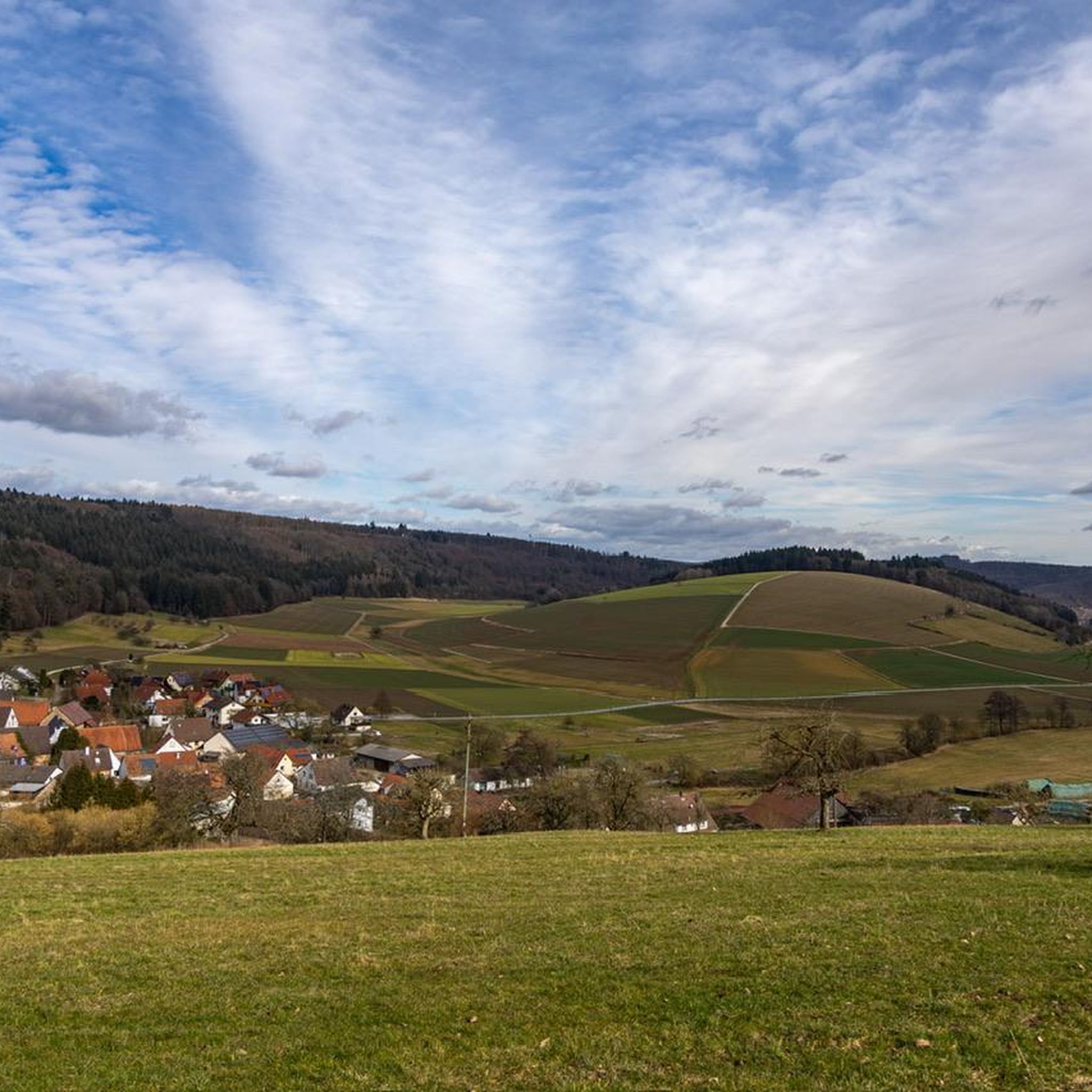
Traffic-free bike rides around Le Lauzet-Ubaye
Traffic-free bike rides around La Condamine-Châtelard
Traffic-free bike rides around Faucon-De-Barcelonnette
Traffic-free bike rides around Uvernet-Fours
Traffic-free bike rides around Méolans-Revel

Traffic-free bike rides around Pontis
Traffic-free bike rides around Saint-Pons
Traffic-free bike rides around Les Thuiles
Other adventures around Barcelonnette


Tips from the Community

A TRUE GATEWAY TO WILD YET TAMED NATURE AND MAJESTIC MOUNTAIN PASSES
0
0


The 11 km climb to Cole is initially varied, then steep, but the scenery is stunning. A must for every road cyclist!
0
0

Tried and tested! There's still a long way to go to the top of the pass, so don't forget to stay hydrated.
0
1
Drinking water (tested and approved)!!
0
0

Please note that the Col d'Allos is closed even to cyclists due to major roadworks.
0
0

When it was created in 1878, the Parc de La Sapinière occupied a vast plot of nearly 5 ha that included the current avenue Porfirio Diaz (formerly La Galopine) and its subdivision of villas. The farmhouse of La Sapinière was located on the current site of the residence La Sousta. Having become the property of Antoine Signoret (1895), the Parc de La Sapinière was reduced and divided into lots. The former allée La Galopine became, in September 1907, the avenue Porfirio Diaz, and accommodated no less than four villas including the spectacular Villa Bleue (1929). Reduced to 14,500 m2, its new surface area nevertheless remains one of the largest among the gardens of the villas built on their return from Mexico. Like the parks belonging to the first generation of villas (1870-1890), that of La Sapinière was first and foremost a rustic, nourishing garden, for which the best fruit trees were selected and vegetable plants were gathered in a considerable area: English Reinette apple trees, white court-pendu, chestnut, Bon-Chrétien pear trees, Carmelite lemon, soldier ploughman, Ohio beauty cherry... Access to the farmhouse (also called rustic house) was carefully organized by a head of cultivation who came specially from Grenoble (Pépinières Paul de Mortillet (La Tronche-Isère). "As a border for the path leading to the rustic house, we recommend as rustic plants, if it is partly shaded: ivy and periwinkle especially. For part exposed to the sun: variegated couch grass, ribbon phalaris, blue fescue, vine plumbago, etc. Not forgetting the rose bushes “which also make strong and pretty borders”.
4
0

Beautiful and useful fountain with fresh water
1
1
Frequently Asked Questions
How many no-traffic road cycling routes are available around Barcelonnette?
Komoot offers over two dozen no-traffic road cycling routes around Barcelonnette, catering to various skill levels. You'll find 3 easy routes, 17 moderate routes, and 3 challenging options to explore the stunning Ubaye Valley and surrounding areas.
What kind of terrain and elevation can I expect on these no-traffic road cycling routes?
The no-traffic road cycling routes around Barcelonnette are characterized by the dramatic Alpine landscape. You can expect significant elevation gains, as the region is home to legendary mountain passes. For example, the Barcelonnette – Barcelonnette loop features over 600 meters of ascent over 23 kilometers, offering a good challenge with rewarding views.
Are there any easy, family-friendly no-traffic road cycling routes in Barcelonnette?
Yes, Barcelonnette offers 3 easy no-traffic road cycling routes, which are generally suitable for families or those looking for a more relaxed ride. These routes often follow picturesque sections of the Ubaye Valley, providing a gentler introduction to cycling in the region without the intensity of the high mountain passes.
What are some scenic viewpoints or natural features I can see along the quiet road cycling routes?
Many routes offer breathtaking views of the Ubaye Valley and the Southern Alps. You can encounter impressive natural features like the Pont-du-Châtelet gorge, or even catch glimpses of the Mercantour National Park. The region is also known for its high mountain passes such as the Cayolle Pass and the iconic Col de la Bonette, offering 'grandiose lunar landscapes' at their summits.
What is the best time of year for no-traffic road cycling in Barcelonnette?
The best season for road cycling in Barcelonnette is typically from late spring through early autumn (May to October). During these months, the weather is generally favorable, and the high mountain passes are usually clear of snow. Summer offers the warmest temperatures, while spring and autumn provide cooler rides and vibrant scenery.
Are there any circular no-traffic road cycling routes available?
Yes, several no-traffic road cycling routes around Barcelonnette are designed as loops, allowing you to start and finish in the same location. An example is the View of Pont du Châtelet – Pont-du-Châtelet loop from Saint-Paul-sur-Ubaye, which offers a moderate 24-kilometer ride with nearly 500 meters of elevation gain.
What do other road cyclists enjoy most about cycling in Barcelonnette?
The komoot community highly rates the road cycling experience in Barcelonnette, with an average score of 4.6 stars from over 380 reviews. Cyclists frequently praise the stunning Alpine scenery, the challenge of the legendary mountain passes, and the opportunity to ride on quiet roads, especially those that are periodically closed to cars to enhance the cycling experience.
Can I find routes that pass by lakes or waterfalls?
Yes, the region around Barcelonnette features beautiful natural water elements. You can find routes that offer views of or pass near lakes such as Lac du Lauzanier or Lake Eissauprés. The Costeplane Waterfalls are also a notable natural monument in the area, which you might encounter or detour to see.
Are there any challenging no-traffic road cycling routes for experienced riders?
Absolutely. Barcelonnette is a renowned destination for serious road cyclists, offering 3 difficult routes. The region is famous for its high mountain passes like the Col de la Bonette, Col d'Allos, and Col de la Cayolle, which provide significant climbs and demanding terrain. These routes are often part of the 'Route des Grandes Alpes' and are equipped with markers detailing altitude and gradient.
Are there options for parking near the start of these quiet road cycling routes?
Barcelonnette, as a cycling-friendly town, generally offers parking options. Many routes start directly from the town or nearby villages, where public parking is usually available. For routes further afield, such as the Embrun – Alpes2Roues bike workshop loop from Pontis, you would typically find parking in the designated starting village.
Are there any routes that offer views of Lac de Serre-Ponçon?
Yes, some routes in the broader Barcelonnette area provide stunning views of Lac de Serre-Ponçon. For instance, the View of Lac de Serre-Ponçon – Saint-Apollinaire Viewpoint loop from Saint-Apollinaire is a moderate 21-kilometer ride that offers picturesque vistas of this large artificial lake, known for its vibrant blue waters.
Most popular routes around Barcelonnette
Most popular attractions around Barcelonnette

Get inspired with the komoot mobile app


Didn’t find what you were looking for?
Check out more Road cycling routes throughout Barcelonnette below and find the perfect route in your destination.
Explore more
Browse the best Road cycling routes in other regions.
