The best traffic-free bike rides around Cangas Del Narcea
4.6
(20)
441
riders
10
rides
No traffic touring cycling routes around Cangas del Narcea traverse a landscape defined by untouched mountain ranges, deep river valleys, and extensive deciduous forests. The region, located in southwest Asturias, Spain, features diverse and rugged natural terrain. Many routes present significant challenges due to considerable elevation gains and mountainous sections. This area is characterized by its protected natural areas, including the Fuentes del Narcea, Degaña e Ibias Natural Park.
Best no traffic touring cycling routes around Cangas del Narcea
- The most popular no traffic touring cycling route is Santuario del Acebo Loop from Cangas del Narcea, a 17.2 miles (27.7 km) trail that takes 2 hours 21 minutes to complete. This route features significant elevation gain through mountainous terrain.
- Another top favourite among local touring cyclists is Santuario de Nuestra Señora del Acebo a Linares de Acebo — circular desde Cangas del Narcea, a difficult 17.8 miles (28.7 km) path. This route winds through protected natural areas with panoramic views.
- Local touring cyclists also love the Oubachu Trail, a 4.1 miles (6.6 km) trail leading through rolling hills and deciduous forests, often completed in about 40 minutes.
- Touring cycling around Cangas del Narcea is defined by mountain ranges, deep river valleys, and vast deciduous forests. The network offers options for different ability levels, though many routes are challenging.
- The routes in Cangas del Narcea are highly rated by the komoot community with an average score of 4.0 stars from over 3 reviews. More than 111 touring cyclists have used komoot to explore Cangas del Narcea's varied terrain.
Last updated: October 19, 2026
3
riders
27.7km
02:22
950m
950m
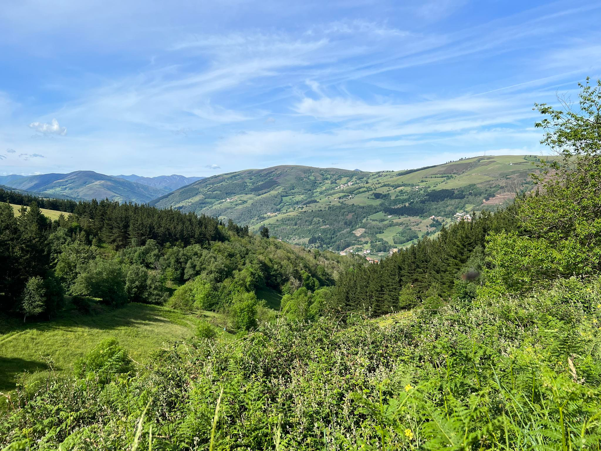
This difficult 17.2-mile touring cycling loop from Cangas del Narcea climbs 3113 feet to the Sanctuary of Our Lady of Acebo.
1
riders
42.2km
03:55
1,190m
1,190m
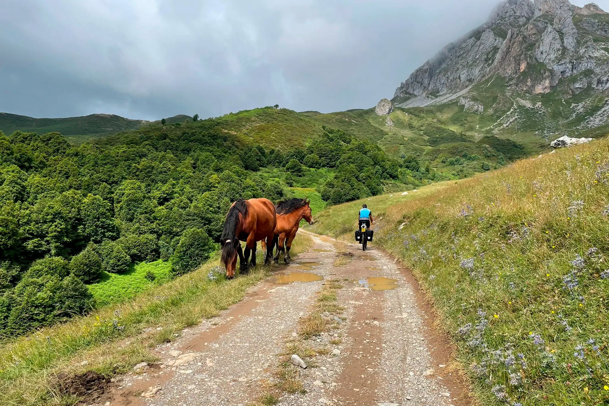
Hard bike ride. Very good fitness required. Some segments of this route may be unpaved and difficult to ride.

1
riders
36.5km
02:56
1,010m
1,010m
Hard bike ride. Very good fitness required. Mostly paved surfaces. Suitable for all skill levels.
1
riders
Hard bike ride. Very good fitness required. Mostly paved surfaces. Suitable for all skill levels.
6.62km
00:41
280m
280m
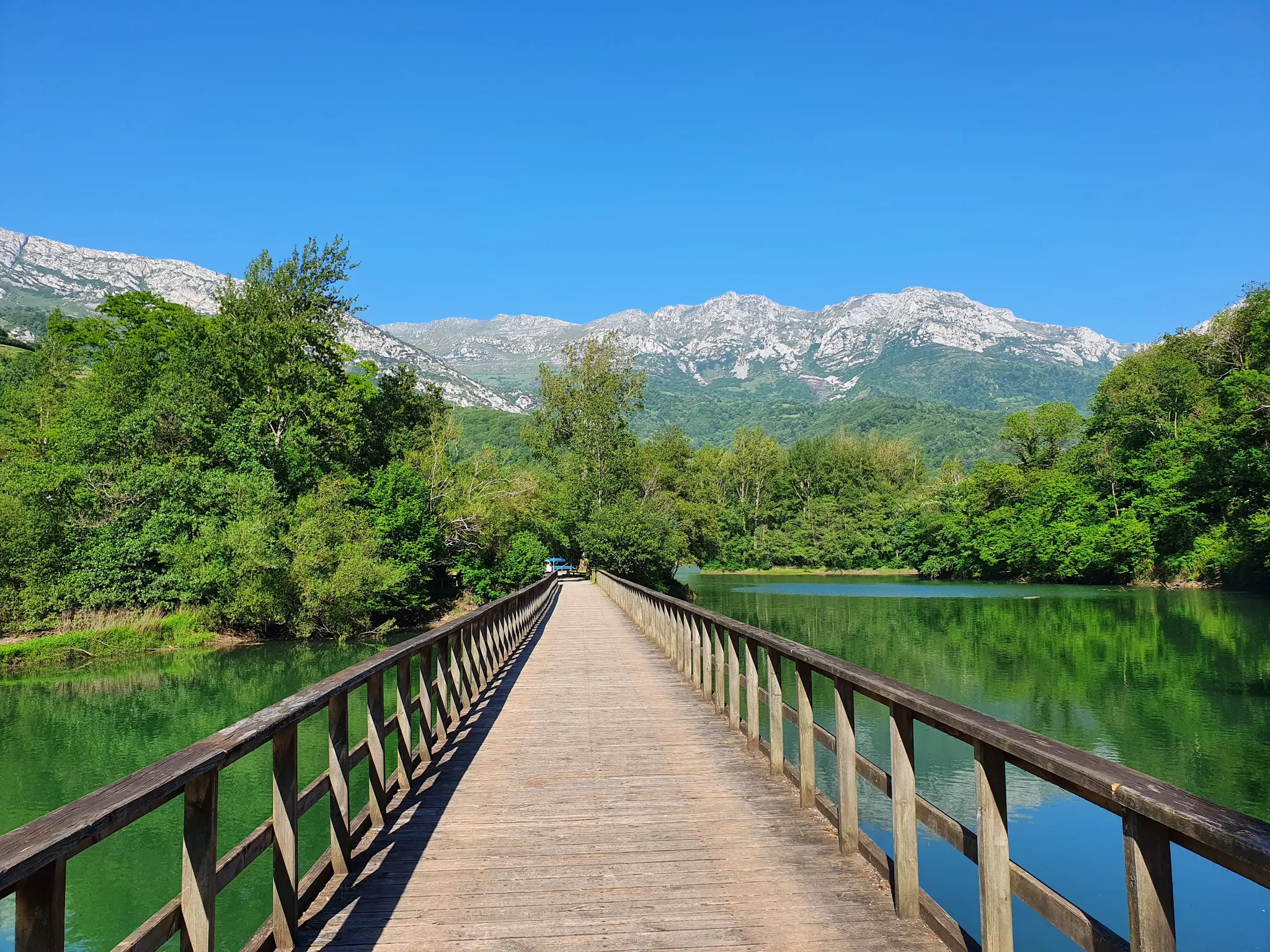
The Oubachu Trail is a moderate 4.1-mile touring cycling route in Asturias, offering views of oak forests and the village of Oubachu.
Get access to more routes and recommendations from other explorers.
Already have an account?
Our route recommendations are based on thousands of hikes, rides, and runs completed by other people on komoot.
Start today with a free account
Your next adventure awaits.

Other adventures around Cangas Del Narcea


Tips from the Community

It is a small Romanesque church located in a mountainous area known as Fuentes del Narcea. According to legend, the church was built in the 9th century by a group of monks who discovered a statue of the Virgin Mary in a holly tree. The statue became known as the "Virgin of the Holly" or the "Virgin of the Holly," and the church was built in her honor. The interior of the church is decorated with frescoes from the 12th and 13th centuries, depicting scenes from the Bible and the life of Christ. The altar has a beautiful reredos carved in wood and painted with gold leaf, with images of the Virgin Mary, Saints Peter and Paul, and other saints. A popular destination for pilgrims and tourists who come to admire the beautiful architecture and rich history of the church. It is also a starting point for several hiking trails that lead to the nearby mountain peaks.
0
0

Visiting the Muniellos Reserve by bicycle is not possible. However, if you approach the reserve area by road bike, that is, by climbing the Connio Pass, then a visit to the Muniellos Interpretive Center is a must. Furthermore, the road leading to the Center is spectacular.
0
0
One of the great Asturian mountain passes, without a doubt. Generally unknown to the general public, it's rarely used in professional races. It has two clearly distinct slopes. The southern slope, which begins in Pola de Allande, is gentle and steady, along a road in good condition. It shares much of its climb with Puerto del Palo, which it turns off from just 3 km from the summit of Puerto de la Marta. The northern slope, which comes from Villayon, is uneven, with very tough sections and several rest stops and descents. It reminds me a lot of the Croix-de-Fer from Sant Jean de Maurienne, not because of the landscape, but because of the type of pass.
0
0

This one shelter was used to change clothes on our tour (with storms and wind).
0
1

Highly recommended, it can be done together with the Palo departing from Pola, the Marta is shorter but with a steeper slope
0
0

Beautiful climb with stunning views to Pola and El Palo. The pass will take you towards Bustantigo, with stunning views to the ancient Roman gold mine "La Freita" to then descend towards Viyallon or down to the enchanting village of Pontenova to then ascend to Montefurau. From Montefurau continue back to Pola de Allande via El Palo (enjoying a different perspective of La Freita) or towards Berducedo.
1
0

Muniellos Reserve Interpretation Centre. You can take this detour to enjoy a different section on the climb to Puerto del Connio
1
0
Frequently Asked Questions
What kind of terrain can I expect on the no-traffic touring cycling routes in Cangas del Narcea?
Cangas del Narcea's landscape is characterized by diverse and rugged natural terrain. While many routes feature paved surfaces, some segments may be unpaved. Expect significant elevation gains and mountainous areas, as the region is known for its challenging yet scenic routes through untouched mountain ranges and deep river valleys. The routes are generally suited for good to very good fitness levels.
Are there any easy or moderate no-traffic touring cycling routes available in Cangas del Narcea?
While many routes in Cangas del Narcea are challenging, there are options for moderate difficulty. For instance, the Oubachu Trail is a moderate route, covering about 6.6 km with an elevation gain of around 276 meters. Most other routes tend to be more difficult, featuring substantial ascents.
What natural features or landmarks can I see along the no-traffic touring cycling routes?
The routes often traverse the stunning Fuentes del Narcea, Degaña e Ibias Natural Park, a UNESCO Biosphere Reserve. You can expect to see extensive deciduous forests, deep river valleys carved by the Narcea River, and pristine mountain ranges. Notable highlights include the Puerto de Leitariegos, known for its panoramic views, and the area around the historic Monastery of Corias. You might also encounter other mountain passes like Puerto del Palo Pass or Connio Pass.
Are there any circular no-traffic touring cycling routes in the area?
Yes, Cangas del Narcea offers several circular routes. Examples include the Santuario del Acebo Loop from Cangas del Narcea, which is about 27.7 km long, and the slightly longer Santuario de Nuestra Señora del Acebo a Linares de Acebo route, covering approximately 28.7 km. Another option is the Route of Los Hospitales to Alto de La Marta — circular from Xera, a more challenging 42.1 km loop.
What is the best season for touring cycling in Cangas del Narcea?
The best season for touring cycling in Cangas del Narcea is generally spring and autumn when temperatures are milder and the natural landscapes are particularly vibrant. Summer can also be suitable, but be prepared for warmer weather, especially on longer ascents. Winter can bring snow to higher elevations, making some routes impassable.
Can I bring my dog on the no-traffic touring cycling routes?
While many natural areas in Cangas del Narcea are dog-friendly for hiking, specific regulations for cycling with dogs on designated routes can vary. It's always best to check local park rules, especially within protected areas like the Fuentes del Narcea, Degaña e Ibias Natural Park, to ensure your dog is permitted and to understand any leash requirements.
Are there any permits required for cycling in certain areas, like the Fuentes del Narcea Natural Park or Muniellos?
Cycling within the Fuentes del Narcea, Degaña e Ibias Natural Park is generally permitted on established routes. However, access to specific, highly protected areas like the Muniellos Natural Reserve is strictly restricted and requires advance permits, even for hiking. It's crucial to check with the park authorities for the latest regulations before planning your ride, especially if your route approaches or enters such sensitive zones.
What are the parking options near the starting points of these no-traffic routes?
Parking availability can vary depending on the specific starting point of each route. For routes beginning in or near Cangas del Narcea town, you will typically find public parking. For routes deeper within natural areas, look for designated parking spots at trailheads or small villages. It's advisable to research the specific starting location of your chosen route for detailed parking information.
What do other touring cyclists enjoy most about the no-traffic routes in Cangas del Narcea?
The komoot community rates the touring cycling experience in Cangas del Narcea highly, with an average score of 4.0 stars. Reviewers often praise the region's untouched natural beauty, the challenge of its mountainous terrain, and the immersive experience of cycling through quiet, scenic landscapes with minimal traffic. The panoramic views from passes like Leitariegos are frequently highlighted.
Are there any long-distance no-traffic touring cycling routes in Cangas del Narcea?
While many routes are day trips, the region offers challenging longer options that can be combined for multi-day tours. For example, the Route of Los Hospitales to Alto de La Marta is a substantial 42.1 km route with over 1188 meters of elevation gain, providing a taste of the longer, more demanding journeys available in the area. The region's network of routes through the Fuentes del Narcea Natural Park also lends itself to extended exploration.
Most popular attractions around Cangas Del Narcea

Get inspired with the komoot mobile app


Explore more
Browse the best Cycling routes in other regions.
