The best traffic-free bike rides around Bicorp
4.0
(2)
16
riders
7
rides
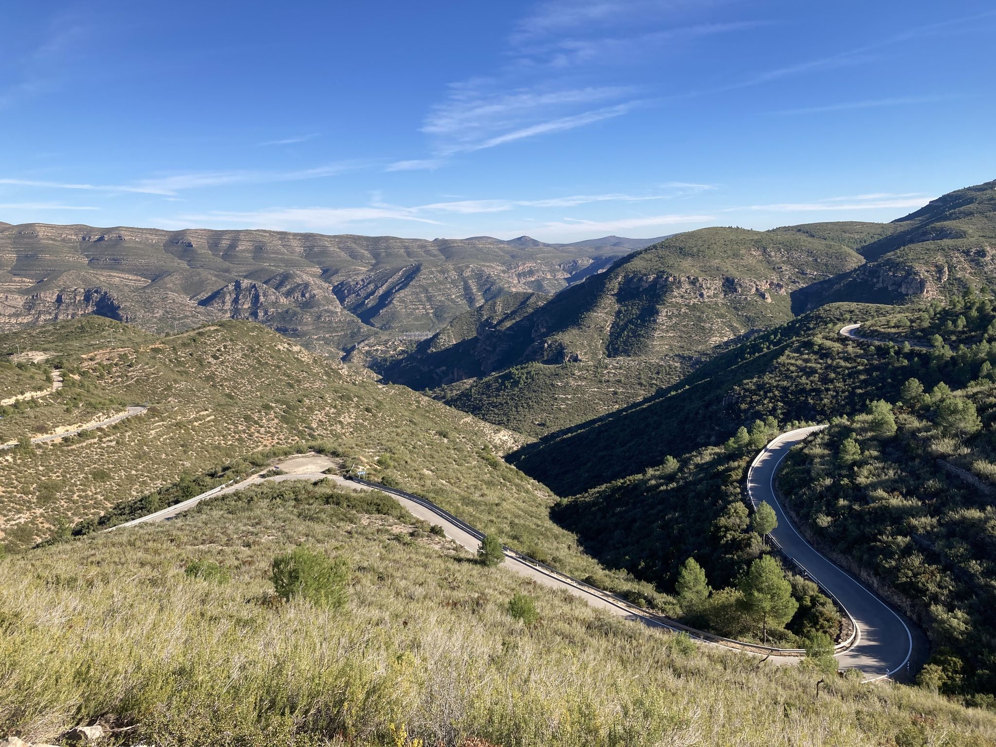
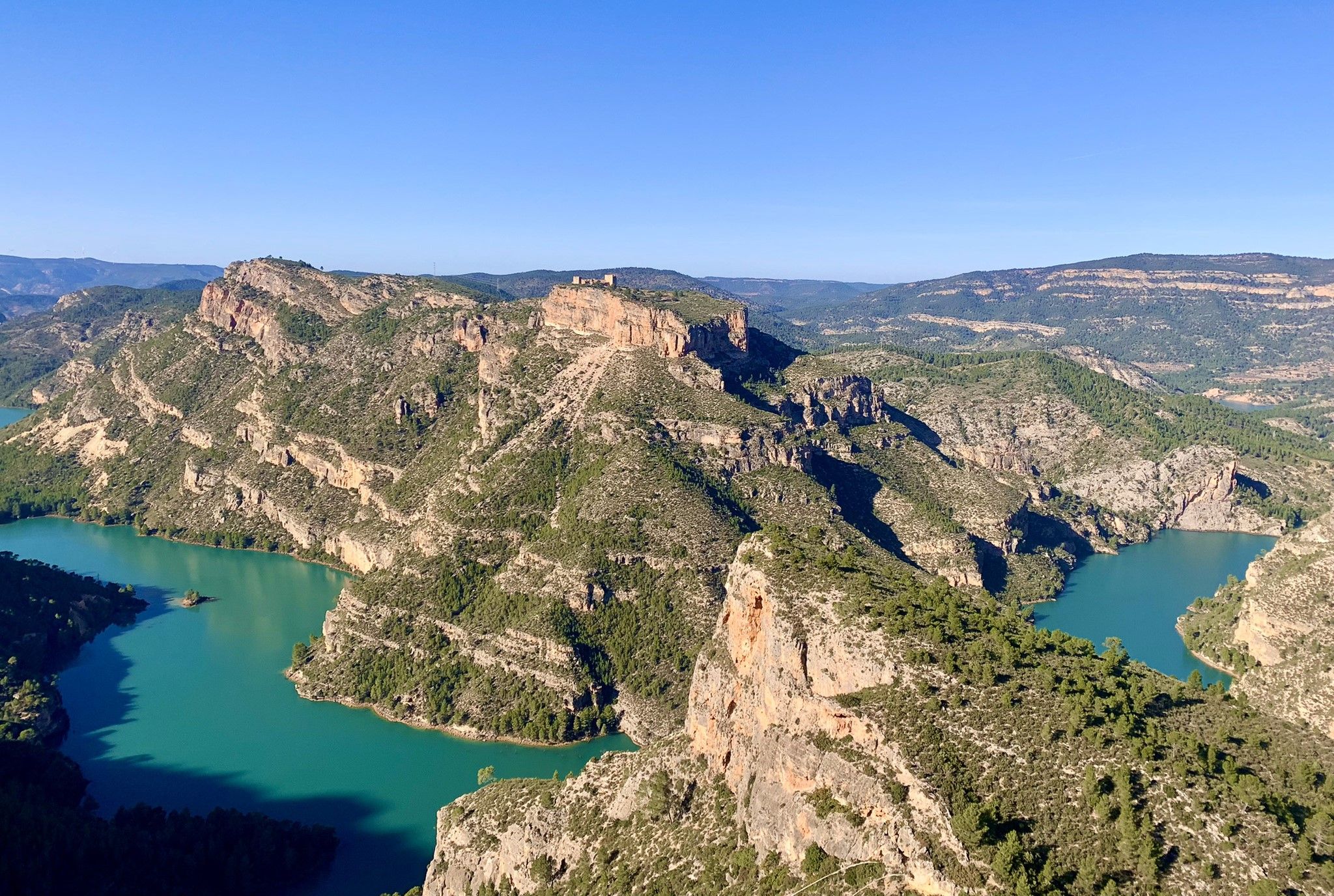
No traffic gravel bike trails around Bicorp are characterized by a diverse and rugged natural landscape, featuring mountainous terrain, deep ravines, and extensive pine forests. The region offers significant elevation changes and varied terrain, with rivers like the Ludey, Fraile, and Cazuma sculpting remarkable natural features. While many routes include paved sections, unpaved segments are common, requiring good fitness. This area provides a compelling destination for those seeking adventure on gravel bikes.
Best no traffic gravel bike trails around Bicorp
…Last updated: July 2, 2026
86.9km
07:08
1,840m
1,840m
Hard gravel ride. Very good fitness required. Mostly paved surfaces. Suitable for all skill levels.
135km
14:09
2,890m
2,880m
Hard gravel ride. Very good fitness required. Mostly paved surfaces. Suitable for all skill levels.

Sign up for free
5.0
(1)
4
riders
105km
08:09
2,230m
2,230m
Hard gravel ride. Very good fitness required. You may need to push your bike for some segments of this route.
7
riders
52.0km
04:03
1,120m
1,120m
Hard gravel ride. Very good fitness required. Mostly paved surfaces. Suitable for all skill levels.
2
riders
43.3km
03:07
550m
550m
Hard gravel ride. Very good fitness required. Mostly paved surfaces. Suitable for all skill levels.
Get access to more routes and recommendations from other explorers.
Sign up for free
Already have an account?
Our route recommendations are based on thousands of hikes, rides, and runs completed by other people on komoot.
Start today with a free account
Your next adventure awaits.
Login or Signup

Other adventures around Bicorp


Tips from the Community

Traditional stone-built fountain, located at the entrance to this town in the Canal de Navarrés. It is a point of natural and heritage interest, frequented on hiking and water routes in the area, such as those near the Júcar canyon. It is located near the area of the Molino de los Moros and the Chorrador del Bosque («El Monstruo»). It is part of the municipality's water resources, often visited along with other points such as the Fuente de las Donas or the washhouses.
0
0
The pass begins when crossing the bridge over the Jucar river and ends when entering the town of Millares. It is 4.2 km at 4.3%
0
0

After Benalí, the Río Grande trail begins. It's surrounded by nature at an altitude of 800 meters. A great spot to enjoy the views from this height.
0
0


Crossroads. If you continue straight ahead you will find the paved road that goes up to Cinto la Cabra. If you turn left you will go up the Bayart ravine.
0
0
Spectacular views, although the climb from Cortes de Pallas along the Muela ridge is very tough.
0
0
On this path we have spectacular views of the rock walls of the deep Rambla de Sacaras and the Cortes reservoir where the ravine flows into.
0
0
Frequently Asked Questions
How many no-traffic gravel bike trails are available around Bicorp?
There are 7 dedicated no-traffic gravel bike trails around Bicorp, offering a variety of experiences through the region's unique landscape. These routes are generally considered challenging due to the mountainous terrain and significant elevation changes.
What kind of terrain should I expect on these gravel trails?
You can expect a diverse and rugged landscape. The trails wind through mountainous terrain, deep ravines, and extensive pine forests. While some segments might be paved, many are unpaved and challenging, featuring impressive rounded hills and varied geological formations. All currently listed no-traffic gravel routes are rated as 'difficult'.
Are there any family-friendly no-traffic gravel routes in Bicorp?
While the listed gravel bike trails are generally challenging, the region offers other outdoor options. The 'Rock Art Route' is a shorter trail, approximately 3,700 meters long, suitable for family outings, offering a cultural and natural experience, though it may not be exclusively gravel biking.
What natural attractions can I see along the no-traffic gravel bike trails?
Bicorp's trails offer stunning natural beauty. You might encounter picturesque gorges and valleys carved by rivers like the Fraile, Ludey, and Cazuma. A notable highlight is El Corbinet Waterfall, set in a lush environment with a recreational area for swimming. Other water features include Arroyo de Cortes Waterfall and a natural pool on the Sellent River in Bolbaite. The Fraile River and Benefetal Area are also considered highly appealing natural attractions.
Are there challenging no-traffic gravel routes for experienced riders?
Yes, all the no-traffic gravel bike routes listed for Bicorp are rated as 'difficult'. For example, the Circular gravel from Quesa to Caroche Peak covers over 86 km with nearly 1,840 meters of elevation gain, while the Gravel ride to Caroche peak and the Júcar river is even longer at 134 km with almost 2,887 meters of ascent.
What do other gravel bikers enjoy most about the trails in Bicorp?
The area is highly rated by the komoot community, with an average score of 4.0 stars. Riders often praise the challenging mountainous terrain, the diverse natural features like rivers and forests, and the sense of adventure offered by the significant elevation changes and varied surfaces.
Are there any circular no-traffic gravel routes available?
Yes, several no-traffic gravel routes in Bicorp are circular. For instance, the Circular gravel from Quesa to Caroche Peak and the Mortirolo of Quesa – Pico de Caroche loop from Quesa are both extensive loop routes designed for gravel biking.
What is the best time of year to go gravel biking in Bicorp?
Bicorp is generally suitable for outdoor activities for much of the year. However, spring and autumn typically offer the most pleasant temperatures for gravel biking, avoiding the intense heat of summer and the cooler, potentially wetter conditions of winter. Always check local weather forecasts before heading out.
Where can I find parking for these no-traffic gravel bike trails?
While specific parking areas for each trail are not detailed, Bicorp and nearby towns like Quesa, Millares, and Navarrés, which serve as starting points for many routes, generally offer public parking options. It's advisable to check local municipal information for designated parking zones in these areas.
Are there any mountain passes or viewpoints to discover on these routes?
Yes, the mountainous landscape of Bicorp features several passes and scenic viewpoints. You might encounter passes like Puerto de Millares, Ascent to Paso de La Franca, and Bayart Pass. These offer challenging climbs and often reward with expansive views of the surrounding valleys and forests.
How long do these no-traffic gravel bike routes typically take to complete?
The duration varies significantly depending on the route's length and your pace. For example, the Casa La Venta (Cañada Negra) – Fuente Loca loop from Navarrés, at 43 km, can take around 3 hours, while longer routes like the Gravel ride to Caroche peak and the Júcar river (134 km) can take over 14 hours, requiring a full day or multi-day planning.
Can I access these gravel trails using public transport with my bike?
Public transport options directly to trailheads in Bicorp with bike carriage facilities can be limited. It's recommended to research local bus services or regional trains to nearby towns and their specific policies regarding bicycles. Often, driving to a starting point is the most convenient option for gravel biking in this region.
Most popular attractions around Bicorp

Get inspired with the komoot mobile app


Explore more
Browse the best Gravel rides in other regions.
