The best road cycling routes around Mark
4.5
(3326)
39,777
riders
853
rides
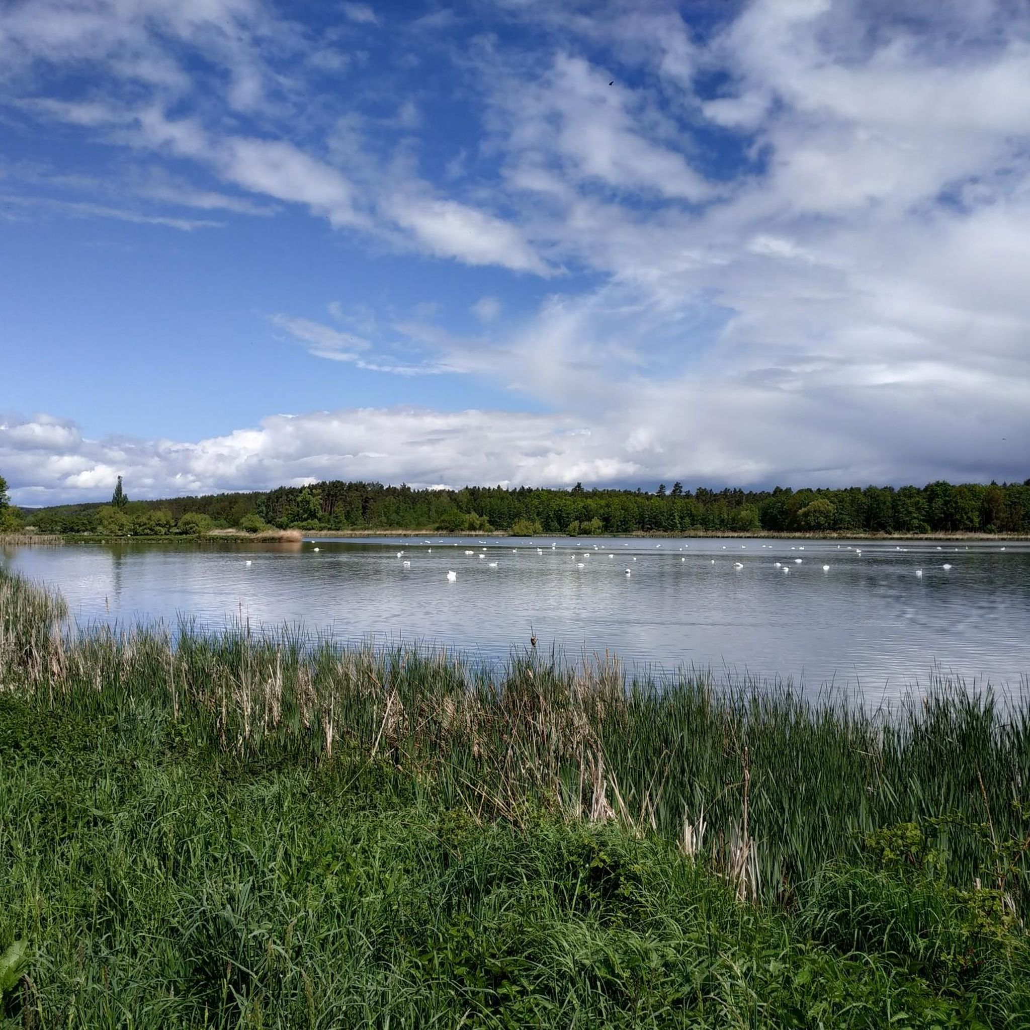
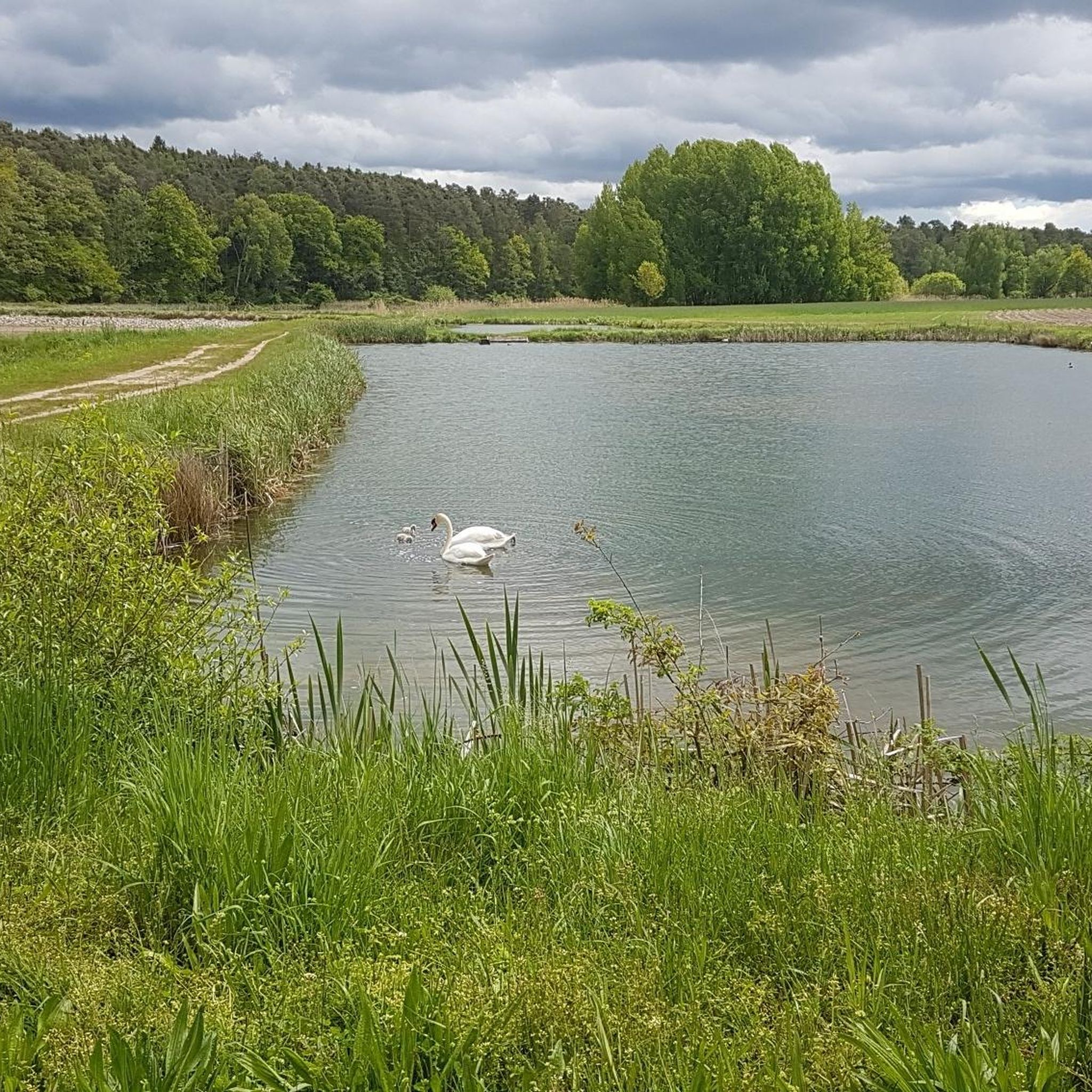
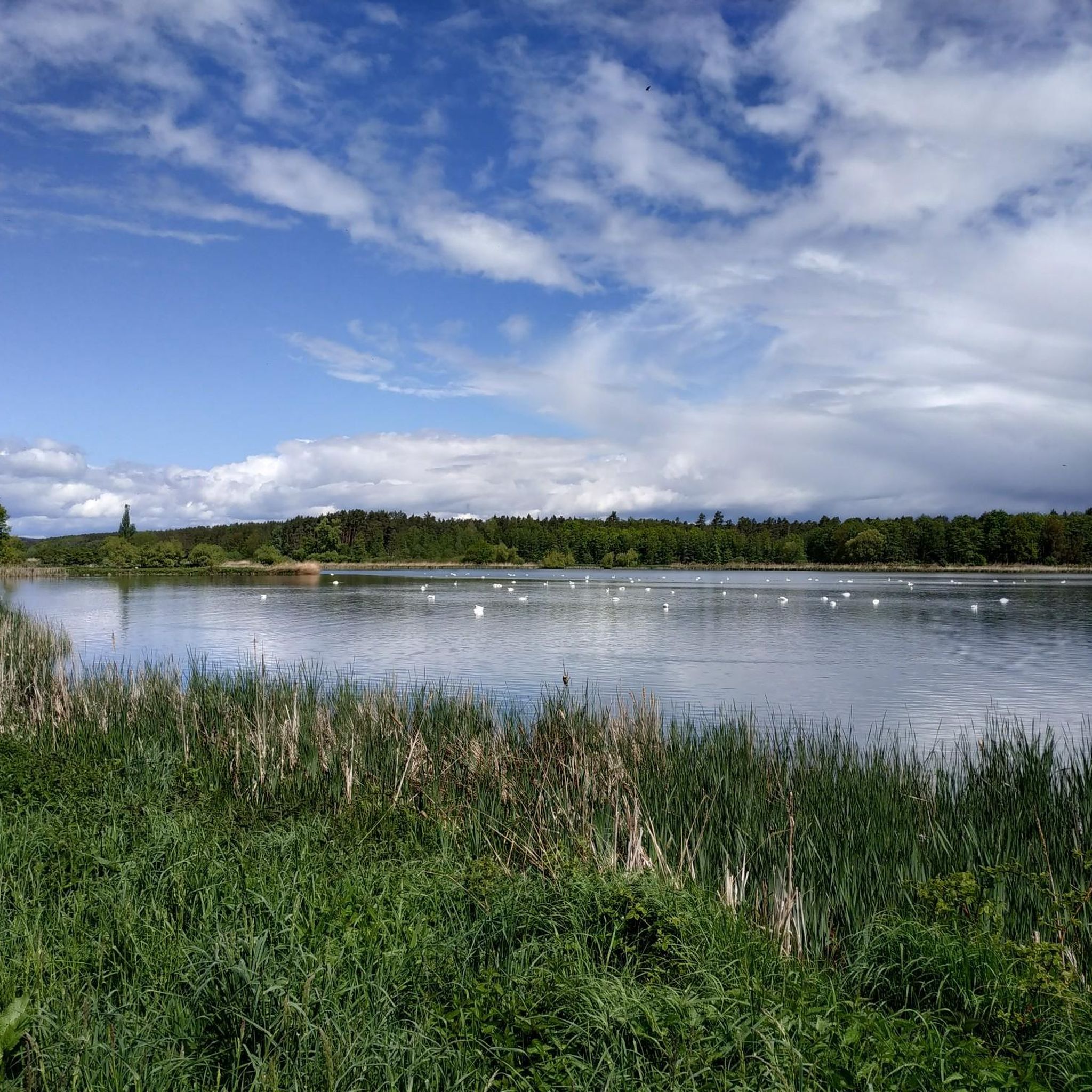
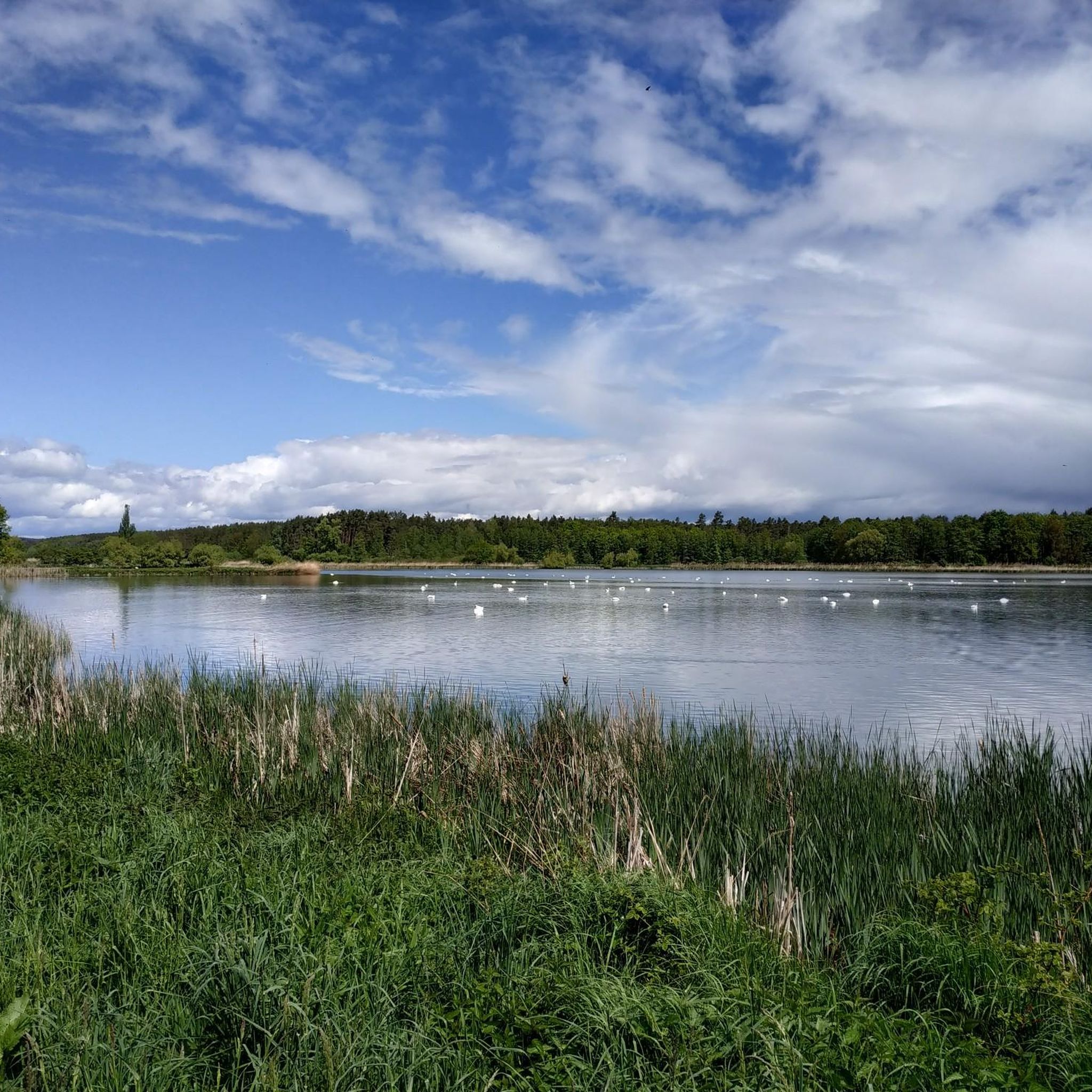
Road cycling routes around Mark offer varied terrain suitable for different skill levels. The region features a mix of flat sections around water bodies like Dechsendorfer Weiher and Kästel Pond, alongside routes that include climbs to elevations such as Rödlaser Mountain and Walberla. Road cyclists can expect a landscape that combines open areas with some forested sections and gentle ascents. The area provides a network of paths connecting local towns and natural features.
Best road cycling routes around Mark
- The…
Last updated: October 14, 2026
4.9
(19)
279
riders
Moderate road ride. Great for any fitness level. Some segments of this route may be unpaved and difficult to ride.
4.5
(12)
176
riders
42.6km
01:45
230m
230m
Easy road ride. Great for any fitness level. Mostly well-paved surfaces and easy to ride.

4.8
(5)
66
riders
54.8km
02:19
340m
340m
Moderate road ride. Good fitness required. Some segments of this route may be unpaved and difficult to ride.
4.2
(12)
49
riders
42.7km
01:48
200m
200m
Easy road ride. Great for any fitness level. Mostly well-paved surfaces and easy to ride.
5.0
(1)
40
riders
Easy road ride. Great for any fitness level. Mostly well-paved surfaces and easy to ride.
Get access to more routes and recommendations from other explorers.
Already have an account?
Our route recommendations are based on thousands of hikes, rides, and runs completed by other people on komoot.
Start today with a free account
Your next adventure awaits.

Tips from the Community

Since 2022, their own beer under the name Entla's Bräu has been brewed directly in the mountain at the Entlas Keller in Erlangen. Although the historic cellar vault was already carved into the rock in 1686 by Heinrich Windisch as the first rock cellar of the Burgberg, the underground labyrinth served exclusively for the maturation and cool storage of beer for centuries. The cellar landlord Vincenz Schiller's own microbrewery, installed deep in the mountain, was a long-cherished project that was completed in the winter of 2021 after construction delays and has been supplying the taproom with its own beer since the 2022 season.
1
0

In autumn, watch out for leaves/branches
0
0

Beautiful area for hiking and walking
0
0

Beautiful view from Poppenwind to Weinbertsee.
0
0

Beautiful half-timbered house, very well maintained
0
0

Flood levels receded in February 2026.
0
0

With a great view of the skyscrapers, it is one of the most beautiful canal sections.
1
0

Frequently Asked Questions
How many road cycling routes are available around Mark?
There are over 850 road cycling routes available around Mark on komoot, offering a wide variety of options for cyclists of all skill levels.
What kind of terrain can I expect when road cycling around Mark?
The region around Mark offers diverse terrain. You'll find a mix of flat sections, particularly around water bodies like Dechsendorfer Weiher and Kästel Pond, alongside routes that include climbs to elevations such as Rödlaser Mountain and Walberla. The landscape combines open areas with some forested sections and gentle ascents.
Are there easy road cycling routes suitable for beginners in Mark?
Yes, Mark offers over 200 easy road cycling routes. A great option for beginners is the View of Dechsendorfer Weiher – Dechsendorf–Röttenbach Cycle Path loop from Hemhofen, which is 26.4 miles (42.4 km) long and features gentle terrain.
Are there challenging road cycling routes for advanced cyclists in Mark?
Absolutely. For advanced cyclists seeking more elevation, there are over 100 difficult routes. The Rödlaser Mountain – View of Walberla loop from Dechsendorf is a moderate 33.6 miles (54.1 km) path that includes significant elevation gain, passing Rödlaser Mountain and offering views of Walberla.
Can I find circular road cycling routes in Mark?
Yes, many of the road cycling routes in Mark are designed as loops. For example, the Kästel Pond and Scenic Road – Sterpersdorf Mill loop from Hemhofen is a popular circular route that takes you through varied landscapes.
What are some scenic viewpoints or attractions along the road cycling routes in Mark?
Road cycling routes in Mark often pass by beautiful natural features and historical sites. You can enjoy views of Dechsendorfer Pond, or explore areas near Forchheim Town Hall and Town Hall Square. Other notable attractions include Atzelsberg Castle and the Przewalski Horse Enclosure in Tennenloher Forest.
What do other road cyclists enjoy most about road cycling in Mark?
The road cycling routes in Mark are highly rated by the komoot community, with an average score of 4.6 stars from over 2,600 reviews. Cyclists often praise the varied terrain, which combines tranquil water features with rolling hills, and the well-connected paths between local settlements.
Are there family-friendly road cycling options in Mark?
While specific 'family-friendly' routes are not explicitly categorized, many of the easy and moderate routes with less elevation gain, particularly those around the ponds and lakes, would be suitable for families. Always check the route details for distance and elevation to ensure it matches your family's capabilities.
What is the typical length of road cycling routes around Mark?
The routes around Mark vary significantly in length. You can find shorter loops, such as the Hannberg Fortified Church – Dechsendorf–Röttenbach Cycle Path loop from Dechsendorf at 18.3 miles (29.5 km), up to longer excursions like the Kästel Pond and Scenic Road – Sterpersdorf Mill loop from Hemhofen at 34.0 miles (54.7 km).
Are there any specific permits required for road cycling in Mark?
Based on available information, there are no specific permits mentioned as being required for road cycling on the general routes and paths around Mark.
Can I reach road cycling routes in Mark using public transport?
While specific public transport connections to route starting points are not detailed, the region features a network of paths connecting local towns and natural features. It is advisable to check local public transport schedules for connections to towns like Hemhofen or Dechsendorf, which serve as starting points for many routes.
Are there routes that offer views of significant landmarks or natural features?
Yes, many routes offer scenic views. For instance, the Rödlaser Mountain – View of Walberla loop from Dechsendorf provides views of Walberla, a prominent local landmark. You can also find routes that pass by the Old Regnitz Bridge in Forchheim.
Most popular attractions around Mark

Get inspired with the komoot mobile app


Explore more
Browse the best Road cycling routes in other regions.
