The best traffic-free bike rides around Bercial
37
riders
8
rides
No traffic touring cycling routes around Bercial offer opportunities for exploring the region's varied terrain. The area features routes with notable elevation gains, indicating a landscape that includes both flatter sections and more challenging ascents. While specific natural landmarks are not detailed, the routes provide distances suitable for extended rides through the general countryside. The available trails cater to different fitness levels, from moderate to difficult.
Best no traffic touring cycling routes around Bercial
- The most popular no traffic touring…
Last updated: July 15, 2026
5
riders
49.0km
02:56
380m
380m
Moderate bike ride. Good fitness required. Mostly paved surfaces. Suitable for all skill levels.
3
riders
20.2km
01:37
130m
130m
Easy bike ride. Great for any fitness level. Mostly paved surfaces. Suitable for all skill levels.

Sign up for free
3
riders
51.4km
04:22
620m
620m
Hard bike ride. Very good fitness required. You may need to push your bike for some segments of this route.
4
riders
47.8km
04:05
480m
480m
Hard bike ride. Very good fitness required. Mostly paved surfaces. Suitable for all skill levels.
2
riders
24.5km
01:57
150m
150m
Moderate bike ride. Good fitness required. Mostly paved surfaces. Suitable for all skill levels.
Get access to more routes and recommendations from other explorers.
Sign up for free
Already have an account?
Our route recommendations are based on thousands of hikes, rides, and runs completed by other people on komoot.
Start today with a free account
Your next adventure awaits.
Login or Signup
Popular around Bercial

Tips from the Community


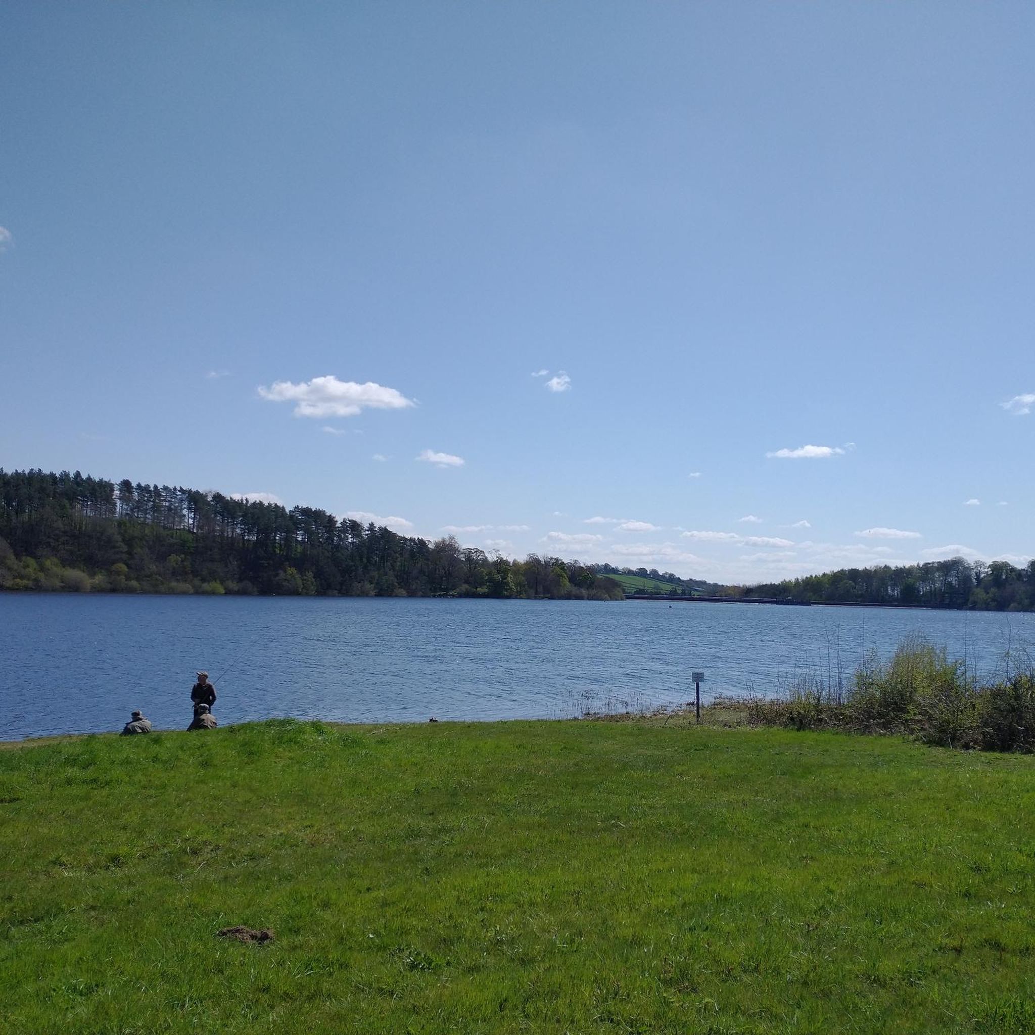
It is difficult to see with water the lagoon that gives its name to this small town
0
0

A wooden observation platform, suspended over the Moros River gorge. Incredible views of the deep canyon and river below.
0
0
A wooden bridge over the Moros River canyon. This marks the start of the hike in the northern part of the river canyon before it descends towards the San Rafael Los Angeles Reservoir.
0
1
Valdeprados is a small, charming traditional Segovian town near the Moros River. You should look for the heritage buildings of the Iglesia Eulalia de Mérida and the Castillo De Sanguino on your visit.
1
0

This is one of the most impressive gorges that rise above the Río Moros and reach a height of more than forty meters.
1
0
One of the characteristics of the town is that it is home to the old medieval town that has been depopulated for centuries, called Matute. Hence the name of the current kernel.
0
0

The Risca del Río Moros is a gorge caused by the embedding of the river by abrasion. The canyon has a length of about 300 m. with walls up to 40 meters high and very few meters wide. It is like a stone fence between holm oaks with a viewpoint from where you can admire wonderful views of the Sierra de Quintanar, the Río Moros valley and the Castilian plain downstream.
0
0
Frequently Asked Questions
How many no-traffic touring cycling routes are available around Bercial?
There are 7 dedicated no-traffic touring cycling routes available around Bercial on komoot. These routes offer a variety of distances and difficulty levels to suit different preferences.
What is the general difficulty level of no-traffic touring cycling routes near Bercial?
The routes around Bercial offer a mix of difficulties. There is 1 easy route, 3 moderate routes, and 3 difficult routes, providing options for cyclists of varying experience levels.
Are there any easy no-traffic touring cycling routes suitable for beginners around Bercial?
Yes, there is one easy no-traffic touring cycling route available. For a more relaxed ride, consider the Torreón loop from Urb. Coto de Puentevieji, which covers approximately 24.5 km.
Are there any challenging no-traffic touring cycling routes for experienced cyclists?
Absolutely. For experienced cyclists looking for a challenge, routes like the Río Moros Cliff – The Lovers' Bridge loop from Marugan offer a more demanding experience with significant elevation changes over approximately 51.4 km.
What is the typical length of no-traffic touring cycling routes in this area?
The no-traffic touring cycling routes around Bercial vary in length. They range from shorter options around 24.5 km, such as the Torreón loop, to longer rides like the Bridge – Laguna Rodrigo loop from Sanchidrián, which is approximately 62.9 km.
Are the no-traffic touring cycling routes around Bercial typically circular?
Yes, many of the no-traffic touring cycling routes around Bercial are designed as loops. For example, the Laguna Rodrigo loop from Muñopedro is a circular route, allowing you to start and end at the same point without retracing your steps.
Is parking available near the starting points of these no-traffic touring routes?
While specific parking details for each route's starting point are not always listed, many routes begin in or near small towns and villages where street parking may be available. It's advisable to check local parking regulations upon arrival.
Can I access these no-traffic touring routes by public transport?
Public transport options directly to the starting points of these specific routes around Bercial may be limited. Given the rural nature of the area, a car is often the most convenient way to reach the trailheads. We recommend checking local bus schedules for connections to nearby towns like Marugan or Muñopedro if you plan to use public transport.
Are there cafes or places to stop for refreshments along the no-traffic touring routes?
The routes often pass through or near small villages. While not guaranteed on every segment, you may find local cafes or small shops in towns like Marugan or Muñopedro, which serve as starting points or pass-throughs for routes such as the Plaza Mayor de Villacastín loop from Marugan. It's always a good idea to carry sufficient water and snacks.
Are the no-traffic touring cycling routes around Bercial suitable for families?
While there is one easy route, the majority of routes are moderate to difficult, with distances ranging from 24.5 km to over 60 km. Families with younger children or those new to touring cycling might find these routes challenging. We recommend reviewing the specific route details, especially distance and elevation, to determine suitability for your family.
Can I bring my dog on these no-traffic touring cycling routes?
Generally, dogs are permitted on public paths and trails in Spain, especially in rural areas. However, it's crucial to keep your dog under control, preferably on a leash, to ensure their safety and respect local wildlife and private property. Always carry water for your dog and be mindful of any specific local regulations or signs.

Get inspired with the komoot mobile app


Explore more
Browse the best Cycling routes in other regions.
