The best walks and hikes around Marienfels
4.6
(2844)
8,636
hikers
14
hikes
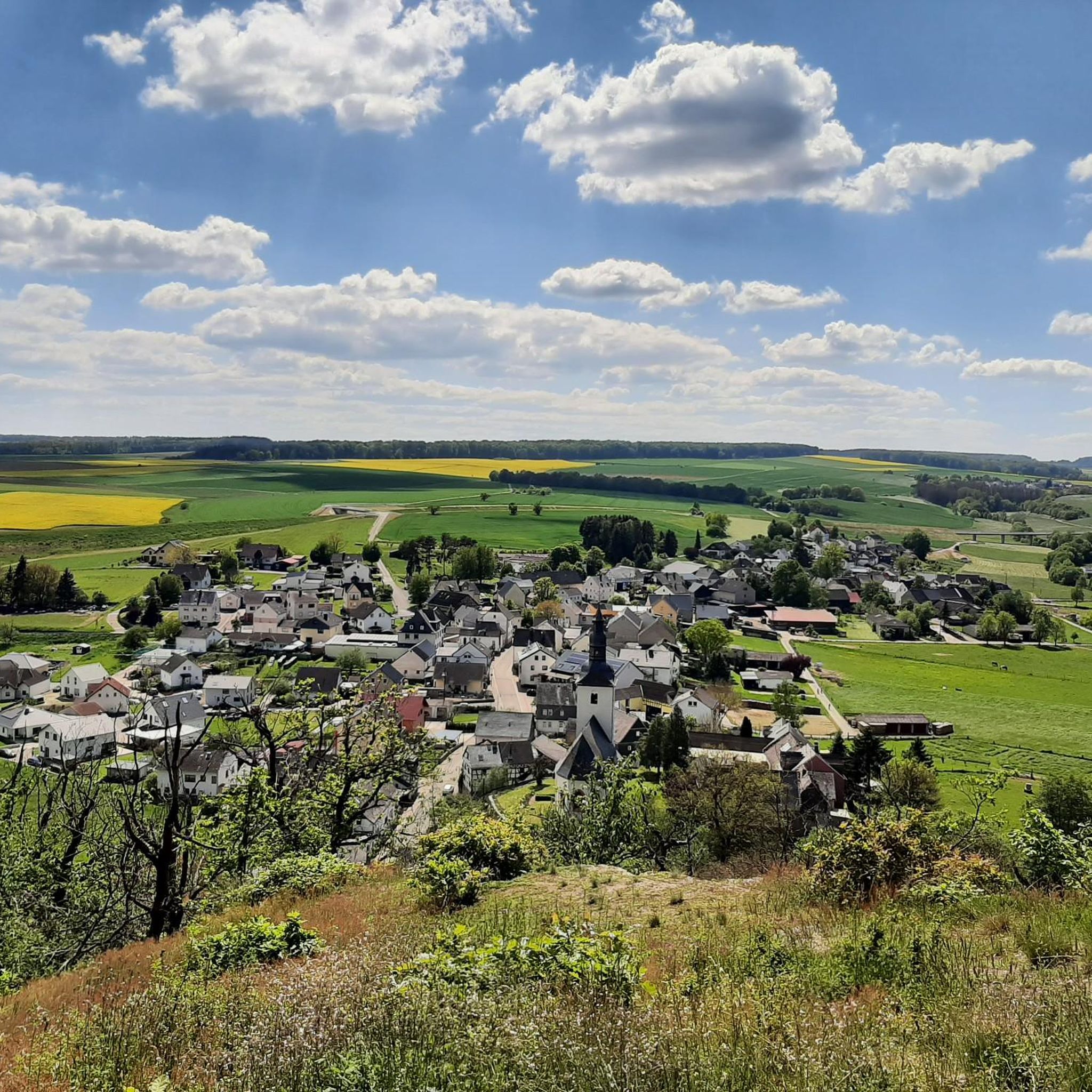
Hiking around Marienfels offers diverse landscapes, including the romantic Mühlbach Valley with its narrow paths, forests, and meadows. The region also features the Taunus heights, providing panoramic views. Varied terrain ensures a rich hiking experience, often accompanied by streams and wooded landscapes. Marienfels is an ideal starting point for numerous hiking routes, catering to various skill levels.
Best hiking trails around Marienfels
- The most popular hiking route is Käsemühle – View of the Mühlbach loop from Marienfels, a 5.3…
Last updated: October 4, 2026
5.0
(4)
23
hikers
8.49km
02:15
80m
80m
Moderate hike. Good fitness required. Easily-accessible paths. Suitable for all skill levels.
4.5
(6)
16
hikers
13.1km
03:40
250m
250m
Moderate hike. Good fitness required. Easily-accessible paths. Suitable for all skill levels.

4.3
(9)
16
hikers
Easy hike. Great for any fitness level. Easily-accessible paths. Suitable for all skill levels.
5.0
(2)
6
hikers
9.61km
02:40
150m
150m
Moderate hike. Good fitness required. Easily-accessible paths. Suitable for all skill levels.
5.0
(1)
4
hikers
23.8km
06:43
490m
490m
Hard hike. Very good fitness required. Sure-footedness, sturdy shoes and alpine experience required.
Get access to more routes and recommendations from other explorers.
Already have an account?
Our route recommendations are based on thousands of hikes, rides, and runs completed by other people on komoot.
Start today with a free account
Your next adventure awaits.
Tips from the Community

The old bridge and the church in the background - a really nice photo motif.
0
0
Here you can also refill your drink bottle.
0
0
A great spot and the view from the shelter is very nice.
0
0
The bridge with the church in the background is really a beautiful motif.
0
0
Here you can also replenish your drink supply.
0
0
The artificially created water surface has a calming effect. From the shelter, there is a beautiful view over the lake.
0
0

Rock passage in the Mühlbachtal. Short clip filmed with the DJI Neo 2. It finally worked on the 3rd try 😁 https://youtu.be/pKT0AohOr7o
1
0

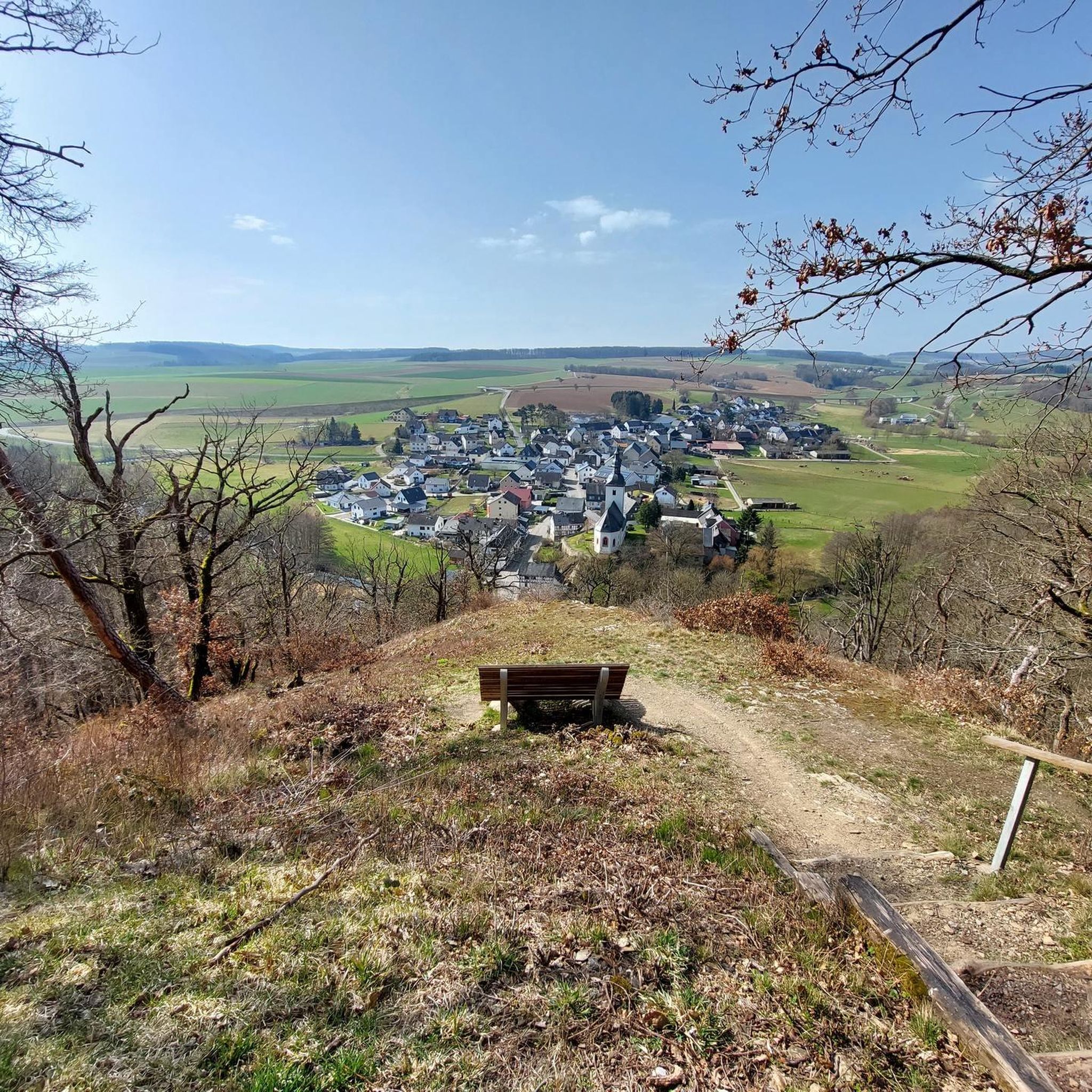
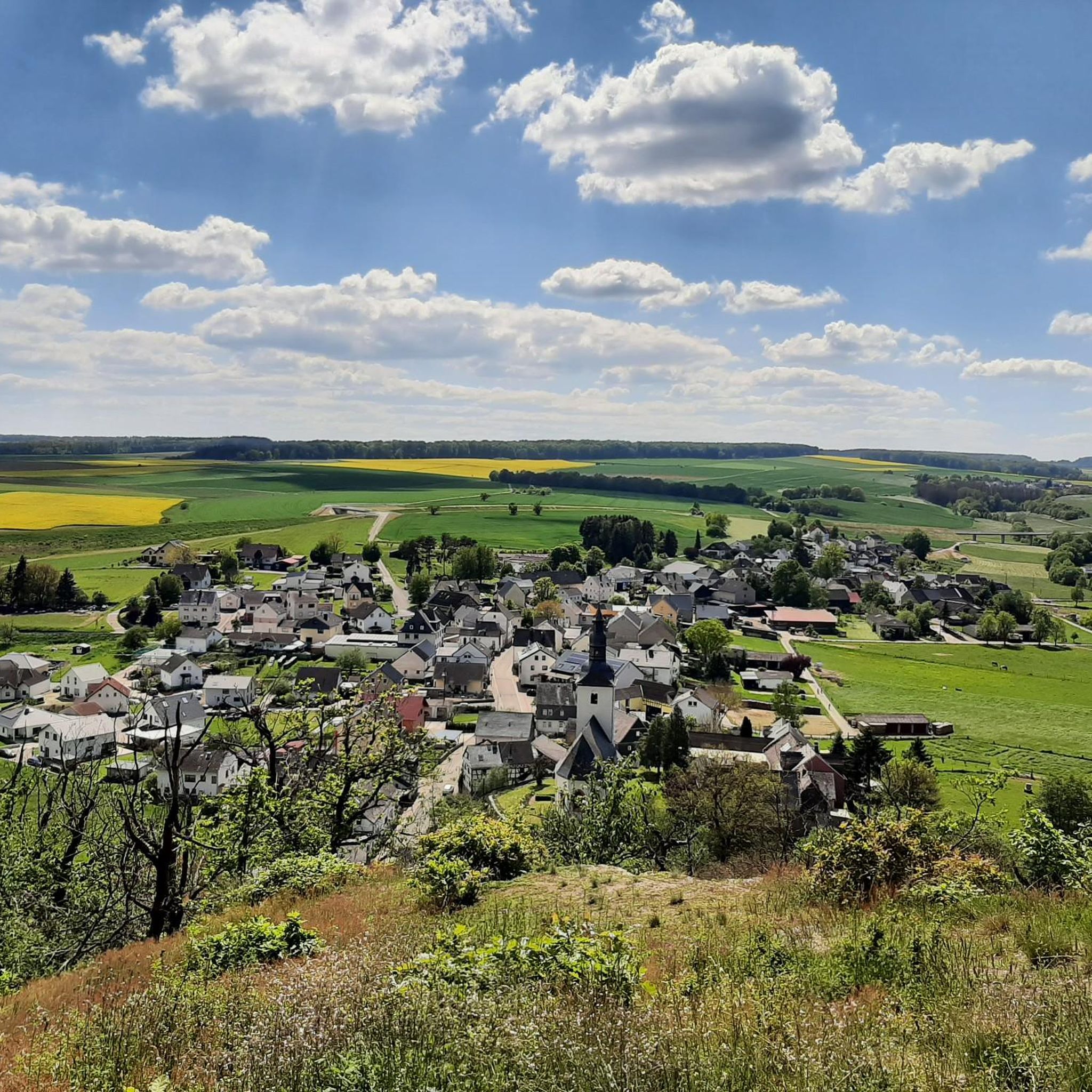
At the spot below by the road, the very steep ascent begins on a path up to the Marienfels cliff next to the barbecue hut and the Lümmelbank (65 meters of altitude gain over 265 meters of distance). On the way, at a fork directly after a right turn, choose the right path upwards. The upper part of the ascent is secured by a (stable as of 06.06.2026) wooden railing at the precipice. Those who prefer to skip this steep ascent can take the wide path a bit further to the right along the road past the cemetery, then turn right into the forest and relatively far up, turn right again to the barbecue hut.
0
0
Frequently Asked Questions
How many hiking trails are available around Marienfels?
Marienfels offers a diverse network of over 14 hiking trails, catering to various skill levels. These include 7 easy routes, 6 moderate excursions, and 1 more challenging path.
What kind of landscapes can I expect when hiking in Marienfels?
Hikers in Marienfels can explore diverse and romantic landscapes, including the picturesque Mühlbach Valley with its narrow paths, forests, and meadows. The region also features the Taunus heights, providing expansive panoramic views. You'll find a mix of babbling streams, wooded areas, rocky outcrops, and occasional steep ascents.
Are there any circular hiking routes in Marienfels?
Yes, many of the trails around Marienfels are designed as loops, offering convenient starting and ending points. For example, the Hauserbach Reservoir – Hauserbach Reservoir loop from Marienfels is a 6.0-mile (9.7 km) moderate trail that takes you through varied terrain around the reservoir.
Can I find trails with good viewpoints in Marienfels?
Absolutely. The region around Marienfels is known for its rewarding views. The Taunus heights offer panoramic vistas, and some steep trails ascend to historical sites like Maus Castle, providing breathtaking viewpoints. You can also visit highlights like the Hohe Lay Viewpoint or the Weinähr summit cross with viewpoint.
Are there family-friendly hiking options in Marienfels?
Yes, Marienfels has several easy trails suitable for families. The Sauerbrunnen Marienfels – View from Marienfels loop from Marienfels is an easy 4.0-mile (6.5 km) path that provides accessible views directly from Marienfels, perfect for a leisurely family outing.
Are dogs allowed on the hiking trails in Marienfels?
Generally, dogs are welcome on the hiking trails around Marienfels. It's always a good idea to keep them on a leash, especially in nature reserves or areas with wildlife, and to respect local signage regarding pet regulations.
What historical sites can be explored while hiking near Marienfels?
The region around Marienfels is rich in history. The Upper German-Rhaetian Limes hiking trail, a former Roman Empire border, passes nearby. For those seeking a more strenuous hike, there are trails that ascend to historical sites like Maus Castle, offering stunning views as a reward.
Are there any waterfalls or natural monuments to see?
The broader area around Marienfels boasts a variety of natural wonders. While specific named waterfalls aren't listed in the immediate vicinity, the region features natural monuments, canyons, and caves, providing plenty of hidden gems for explorers. The constant accompaniment of babbling streams on some routes adds to the natural charm.
How can I get to the hiking trails in Marienfels by public transport?
Marienfels is a village in the Rhein-Lahn district. While specific public transport connections directly to trailheads can vary, regional bus services often connect to larger towns from which local routes might be accessible. It's advisable to check local bus schedules for the Rhein-Lahn district to plan your journey.
Is there parking available near the trailheads in Marienfels?
Yes, Marienfels serves as an ideal starting point for numerous hiking routes, and parking is generally available within or on the outskirts of the village, often near popular trailheads. Specific parking information might be detailed on individual route descriptions on komoot.
What is the best season for hiking in Marienfels?
Marienfels offers a rich hiking experience throughout much of the year. Spring brings lush greenery and wildflowers, while autumn showcases vibrant foliage. Summer is excellent for longer days, and even winter can be beautiful for crisp, clear walks, though some paths might be slippery or require appropriate gear.
What do other hikers say about the trails in Marienfels?
The routes in Marienfels are highly rated by the komoot community, with an impressive average score of 4.6 stars from over 2,500 reviews. Hikers often praise the diverse landscapes, the romantic Mühlbach Valley, and the well-maintained paths that offer a mix of gentle walks and more challenging ascents.
Most popular routes around Marienfels
Most popular attractions around Marienfels

Get inspired with the komoot mobile app


Explore more
Browse the best Hikes in other regions.
