The best dog-friendly hikes and walks in North West England
4.5
(32210)
299,359
hikers
2,432
hikes
Dog friendly hiking trails in North West England traverse a diverse landscape, ranging from the dramatic mountain peaks and glacial lakes of the Lake District to the rolling hills of the Forest of Bowland and the rugged coastlines. The region features varied terrain, including ancient woodlands, river valleys, and sandstone ridges. This geographical diversity provides a wide array of environments for hiking, from challenging mountain ascents to gentle lakeside strolls.
Best dog friendly hiking trails in North West England
- The most popular dog friendly hiking route is Derwent Water loop from Keswick — Lake District National Park, a 10.7 miles (17.3 km) trail that takes 4 hours 45 minutes to complete. This moderate route offers extensive views of Derwent Water and the surrounding fells.
- Another top favourite among local hikers is Derwent Water Ferry & Catbells loop from Keswick, a moderate 8.9 miles (14.3 km) path. This route combines a ferry ride with an ascent of Catbells, providing panoramic views over the Borrowdale valley.
- Local hikers also love the Latrigg loop from Keswick — Lake District National Park, a 5.0 miles (8.0 km) trail leading through woodland and open fells, often completed in about 2 hours 26 minutes.
- Hiking in North West England is defined by its iconic fells, deep glacial lakes, and varied woodlands. The extensive network of dog friendly hiking trails offers options for all ability levels, from easy lakeside walks to more challenging mountain climbs.
- The routes in North West England are highly rated by the komoot community with an average score of 4.5 stars from over 30,000 reviews. More than 298,000 hikers have used komoot to explore North West England's varied terrain.
Last updated: August 19, 2026
4.7
(500)
3,941
hikers
17.3km
04:45
260m
260m
Embark on a moderate hike around Derwent Water from Keswick, a journey that covers 10.7 miles (17.3 km) with an elevation gain of 856 feet (261 metres). This loop typically takes around 4 hours and 45 minutes to complete. You will find varied terrain, including well-maintained gravel paths, boardwalks through marshy areas, and sections winding through ancient woodlands. As you walk, you will enjoy expansive views of Derwent Water, its islands, and the surrounding fells, with the dramatic backdrop of Cat Bells often in sight.
Planning your visit is straightforward, as the route is easily accessible from Keswick. The path is largely waymarked, making navigation simple. If you wish to shorten your walk, you can combine sections of the trail with a trip on the Keswick Launch boat service, which has multiple landing stages around the lake. Buses also serve various points, offering additional flexibility for your day out. The trail's newly constructed bridges and raised paths mean it is often viable even in wetter conditions.
This trail is notable for offering some of the Lake District's most iconic views, such as those from Friar's Crag, which famously inspired writer John Ruskin. The route provides a wide range of experiences, from gentle lakeside strolls to options for more challenging fell climbs if you choose to extend your adventure. Along the way, you will encounter interesting features like the Chinese Bridge and several jetties, passing through areas rich in flora and wildlife cared for by the National Trust.
4.8
(166)
1,170
hikers
14.3km
04:20
410m
420m
The Derwent Water Ferry & Catbells loop from Keswick offers a moderate hiking experience, covering 8.9 miles (14.3 km) with an elevation gain of 1358 feet (414 metres). You can expect to complete this diverse route in about 4 hours and 19 minutes. As you hike, you will encounter varied terrain, from easy paths along the lakeside to rocky steps and minor scrambling as you approach the summit of Catbells. The highlight is the expansive 360-degree views from Catbells Summit, where you can see Derwent Water, Keswick, and the surrounding fells. The trail also winds through peaceful woodlands and along picturesque lakeside scenes, providing a classic Lakeland atmosphere.
This route is easily accessible from Keswick, making it a popular choice for hikers. A key part of the experience involves using the Keswick Launch, a ferry service that transports you across Derwent Water to Hawes End Jetty, where the hike begins. This adds a unique element to your day, so factor in ferry times when planning your start. While generally considered beginner-friendly for fell walking, the rockier sections near Catbells require good fitness and sure-footedness. Due to its popularity, especially during peak season, you should plan for potential crowds on the trail.
What sets this particular loop apart is the integration of the scenic Derwent Water ferry ride, transforming a standard hike into a more comprehensive Lakeland adventure. This journey across the water provides a different perspective of the fells before you even begin your ascent. The trail is a fantastic introduction to fell walking for those new to the Lake District, offering significant rewards without extreme technical difficulty. It combines the tranquility of lakeside paths with the exhilaration of a summit climb, all within easy reach of Keswick.

Sign up for free
4.3
(108)
747
hikers
8.03km
02:26
260m
260m
The Latrigg loop from Keswick offers a moderate hike of 5.0 miles (8.0 km) with an elevation gain of 845 feet (258 metres), typically taking about 2 hours and 26 minutes to complete. As you hike, you will follow parts of an old railway line path, then ascend through well-surfaced bridleways in woodlands before reaching open fellside. From the summit, you can enjoy wide views over Keswick town, Derwentwater, and the Borrowdale Valley, with the fells of Skiddaw and Catbells visible in the distance. While some sections can be steep for about 500 meters during the ascent, and parts of the descent might be muddy, the paths are largely well-maintained.
This trail is generally considered easy to moderate, making it a good choice for beginners and families. If you prefer a shorter walk or have limited mobility, you can drive to the Gale Road car park, which offers a more accessible path to a viewpoint. This option significantly shortens the route, with only about 80 metres of ascent to the summit from the car park. The full circular walk begins directly from Keswick town centre, providing a convenient starting point for your adventure.
Latrigg is often called
4.8
(90)
467
hikers
15.9km
04:42
440m
440m
This moderate hike, covering 9.9 miles (15.9 km) with 1434 feet (437 metres) of elevation gain, typically takes around 4 hours and 41 minutes to complete. You begin in the charming village of Dufton, passing through farmland before starting your steady climb. As you ascend, the views across the Eden Valley to the distant Lake District fells become increasingly impressive. The trail leads you to High Cup Nick, a spectacular U-shaped glaciated valley often called "England's Grand Canyon," where the landscape dramatically opens up before you. Here, you'll see the magnificent dolerite crags of the Great Whin Sill forming a natural amphitheater, with landmarks like High Cup Scar and Nichol's Chair standing out.
While rated as moderate, this route involves significant climbing and can be challenging, especially in exposed sections. The path includes stony and rough tracks, and some areas, particularly on open access land, can be boggy. High winds are common on the North Pennine escarpment, making conditions harsher even in summer. You should come prepared with strong boots, warm clothing, and good waterproofs. Carrying an Ordnance Survey map and compass is also advisable for navigation.
High Cup Nick is a geological marvel, an outstanding example of a U-shaped glaciated valley formed during the last Ice Age. The dramatic dolerite crags are part of the Great Whin Sill, a significant formation also seen at Hadrian's Wall and waterfalls like High and Low Force. This section is considered a spectacular highlight of the Pennine Way, even noted by fellwalker Alfred Wainwright as one of his favorites. The area is also known for the Helm Wind, a unique meteorological phenomenon caused by local topography.
4.5
(112)
292
hikers
10.3km
02:55
230m
230m
Hike a moderate 6.4-mile loop through Etherow Country Park and along the Peak Forest Canal, featuring the Marple Aqueduct and varied scenery
Get access to more routes and recommendations from other explorers.
Sign up for free
Already have an account?
Our route recommendations are based on thousands of hikes, rides, and runs completed by other people on komoot.
Start today with a free account
Your next adventure awaits.
Login or Signup
Popular around North West England

Dog-friendly hikes in Cumbria
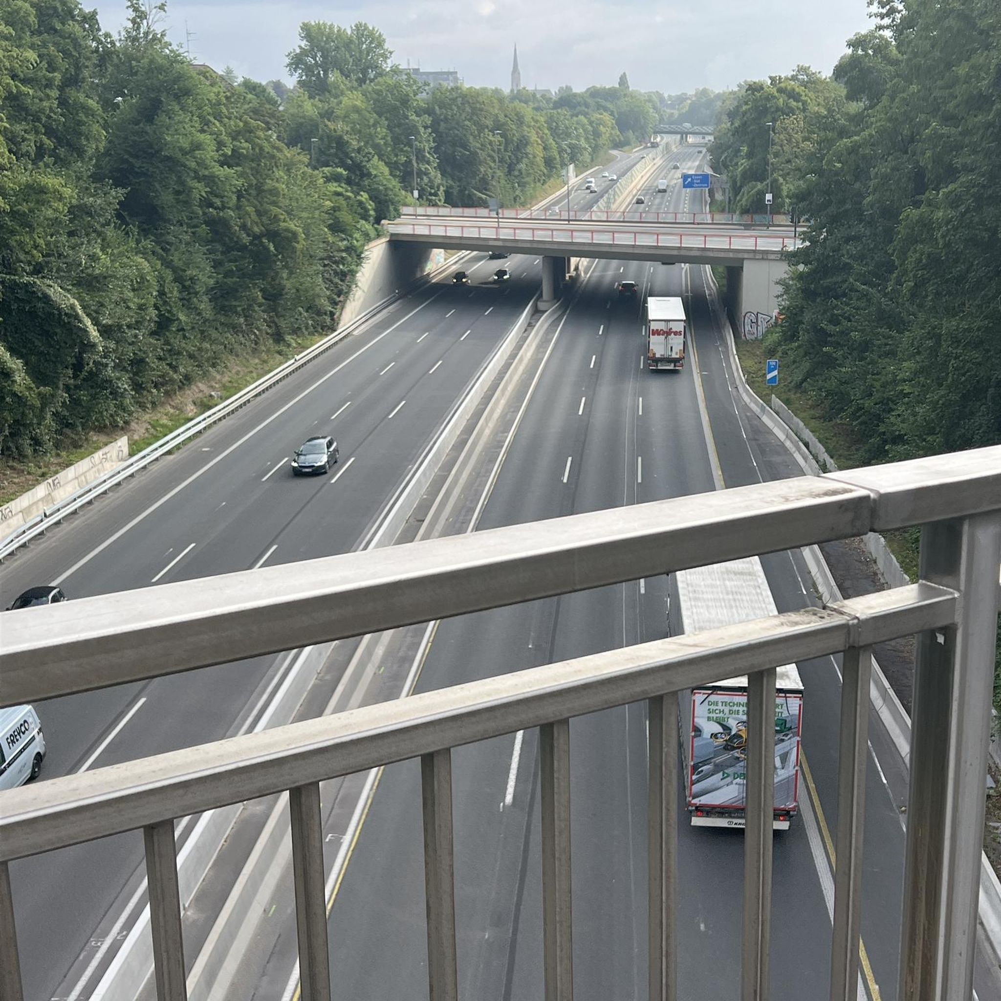
Dog-friendly hikes around Greater Manchester
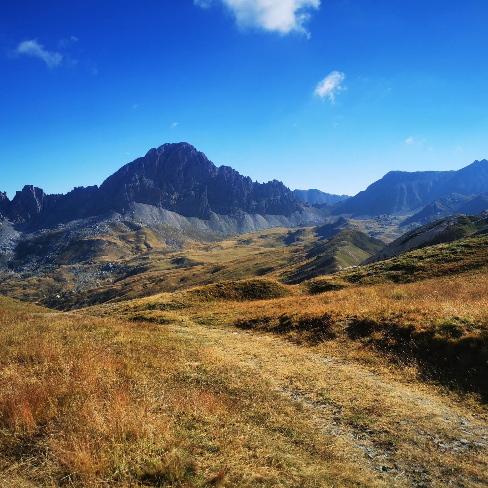
Dog-friendly hikes in Cheshire East

Dog-friendly hikes in Lancashire
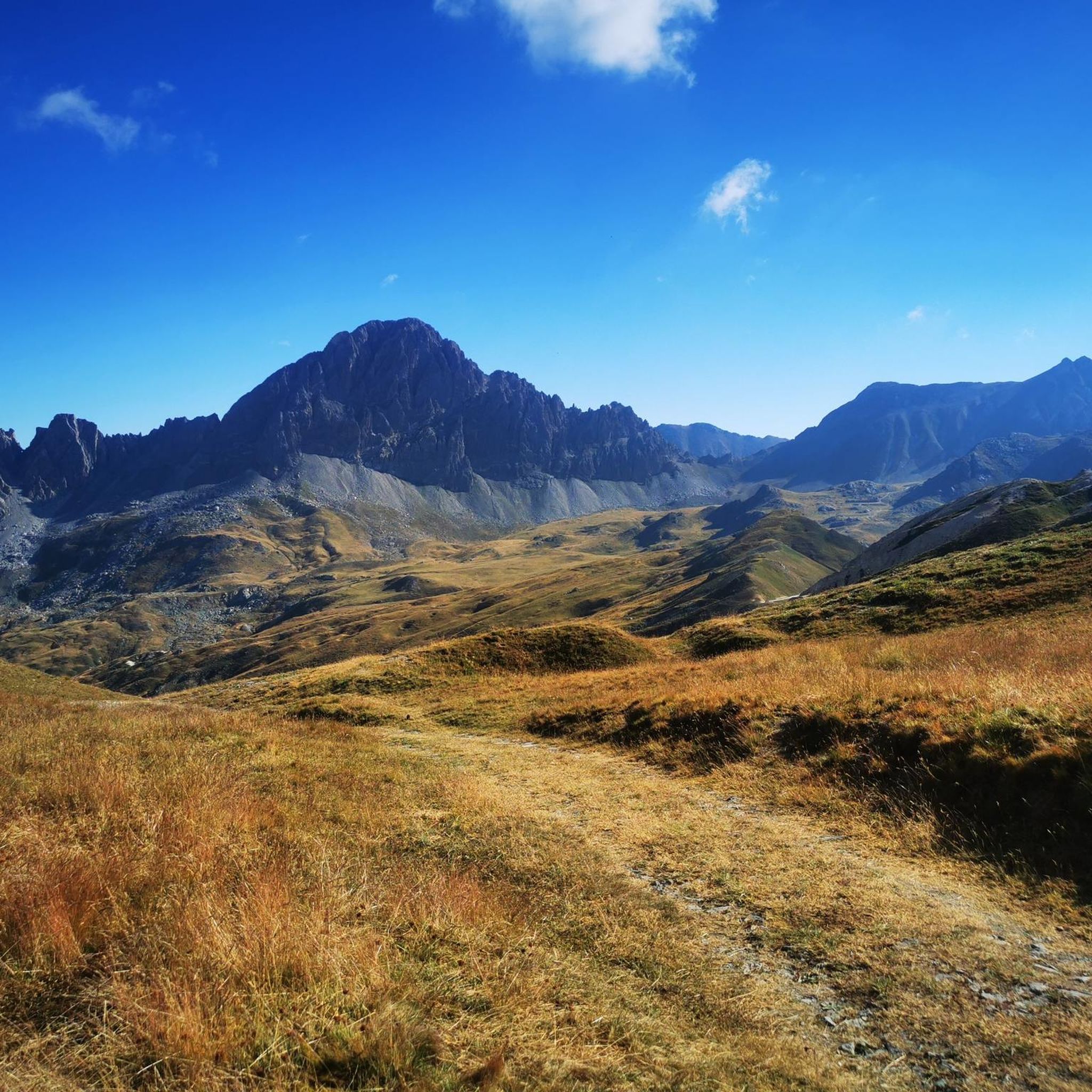
Dog-friendly hikes around Macclesfield Forest And Wildboarclough
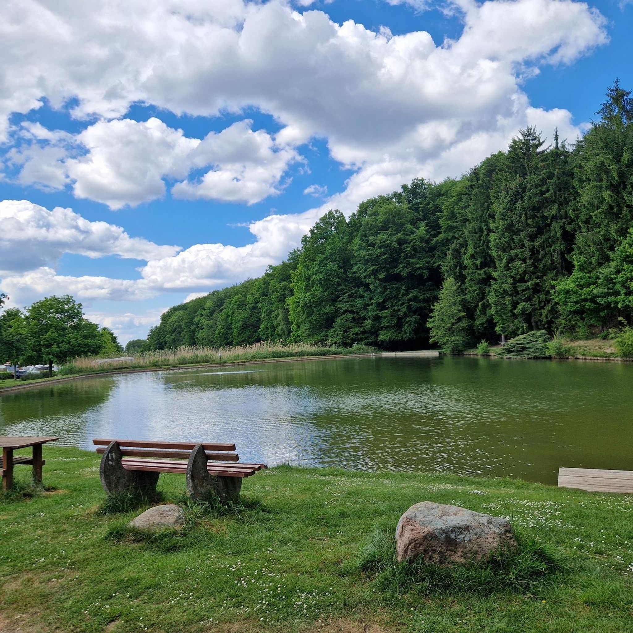
Dog-friendly hikes around Trafford
Dog-friendly hikes in Blackburn with Darwen
Dog-friendly hikes around Warrington
Dog-friendly hikes in Cheshire West and Chester
Dog-friendly hikes around Wirral
Other adventures in North West England


Tips from the Community

Amazing spacious beer garden at the rear with views of Dufton Pike
0
0


Great place to start a walk up to Catbells
0
0

The real summit of Latrigg.
0
0

Good for any fitness level and family walks
1
0
Frequently Asked Questions
How many dog-friendly hiking trails are available in North West England?
North West England offers a vast selection of dog-friendly trails, with over 2300 routes available. These range from easy strolls to more challenging mountain hikes, ensuring there's something for every dog and owner.
What kind of terrain can I expect on dog-friendly hikes in North West England?
The region boasts incredibly diverse terrain. You can find everything from gentle lakeshore paths around places like Derwentwater, to more rugged mountain fells in the Lake District, ancient woodlands, and even coastal paths. Many routes feature varied landscapes, including grassy slopes, rocky sections, and well-maintained paths.
Are there options for different fitness levels when hiking with my dog?
Absolutely. North West England caters to all fitness levels. You'll find a wide range of trails, including over 880 easy routes perfect for a leisurely walk, nearly 1300 moderate options for a good workout, and over 220 difficult trails for experienced hikers and their adventurous dogs.
What natural features or landmarks can I explore with my dog along these trails?
Many dog-friendly routes lead to stunning natural features and landmarks. You can discover beautiful waterfalls like Aira Force or Skelwith Force, explore historical sites such as Wray Castle, or enjoy panoramic views from viewpoints like Mow Cop Castle.
Are there many circular routes suitable for dogs?
Yes, circular routes are very popular and plentiful in North West England, making them ideal for dog walks as you finish where you started. Examples include the scenic Derwent Water loop from Keswick or the varied Mill Brow, Etherow Country Park & the Peak Forest Canal loop.
What do other hikers appreciate most about dog-friendly trails in North West England?
The komoot community highly rates the trails in North West England, with an average score of 4.5 out of 5 stars from over 30,000 ratings. Reviewers often praise the breathtaking scenic views, the variety of landscapes from lakes to fells, and the well-maintained paths that make for enjoyable walks with their canine companions.
How accessible are these dog-friendly trails by public transport?
Many popular hiking areas in North West England, especially within the Lake District, have good public transport links, including bus services that connect towns and trailheads. It's always advisable to check local transport schedules and dog policies before planning your trip, as some services may have restrictions for pets.
Is parking generally available at the trailheads?
Parking is often available at or near popular trailheads, particularly in national parks and designated beauty spots. However, during peak seasons or at very popular locations, car parks can fill up quickly. Arriving early or researching alternative parking options in advance is recommended.
Can I find dog-friendly places to eat or stay near the trails?
North West England is generally very dog-friendly, especially in tourist areas like the Lake District. Many pubs, cafes, and accommodations welcome well-behaved dogs, often providing water bowls and treats. It's always best to check with establishments directly before visiting to confirm their pet policy.
Are there any dog-friendly routes that offer mountain views without extreme difficulty?
Yes, for a moderate challenge with rewarding views, consider the Latrigg loop from Keswick. It offers excellent panoramic views of Derwentwater and the surrounding fells without the strenuous ascent of higher peaks, making it a great option for dogs and owners looking for a satisfying climb.
What is the best time of year to go hiking with my dog in North West England?
Spring and autumn are often considered the best times for dog-friendly hikes. The weather is generally milder, the landscapes are vibrant with spring blooms or autumn colours, and trails are less crowded than in summer. Winter can offer beautiful, crisp walks, but some higher routes may be challenging due to snow and ice, requiring appropriate gear and caution.
Most popular routes in North West England
Most popular attractions in North West England

Get inspired with the komoot mobile app


Didn’t find what you were looking for?
Check out more Hikes throughout North West England below and find the perfect route in your destination.
Explore more
Browse the best Hikes in other regions.
