The best traffic-free bike rides around Pangbourne
5.0
(6)
199
riders
10
rides
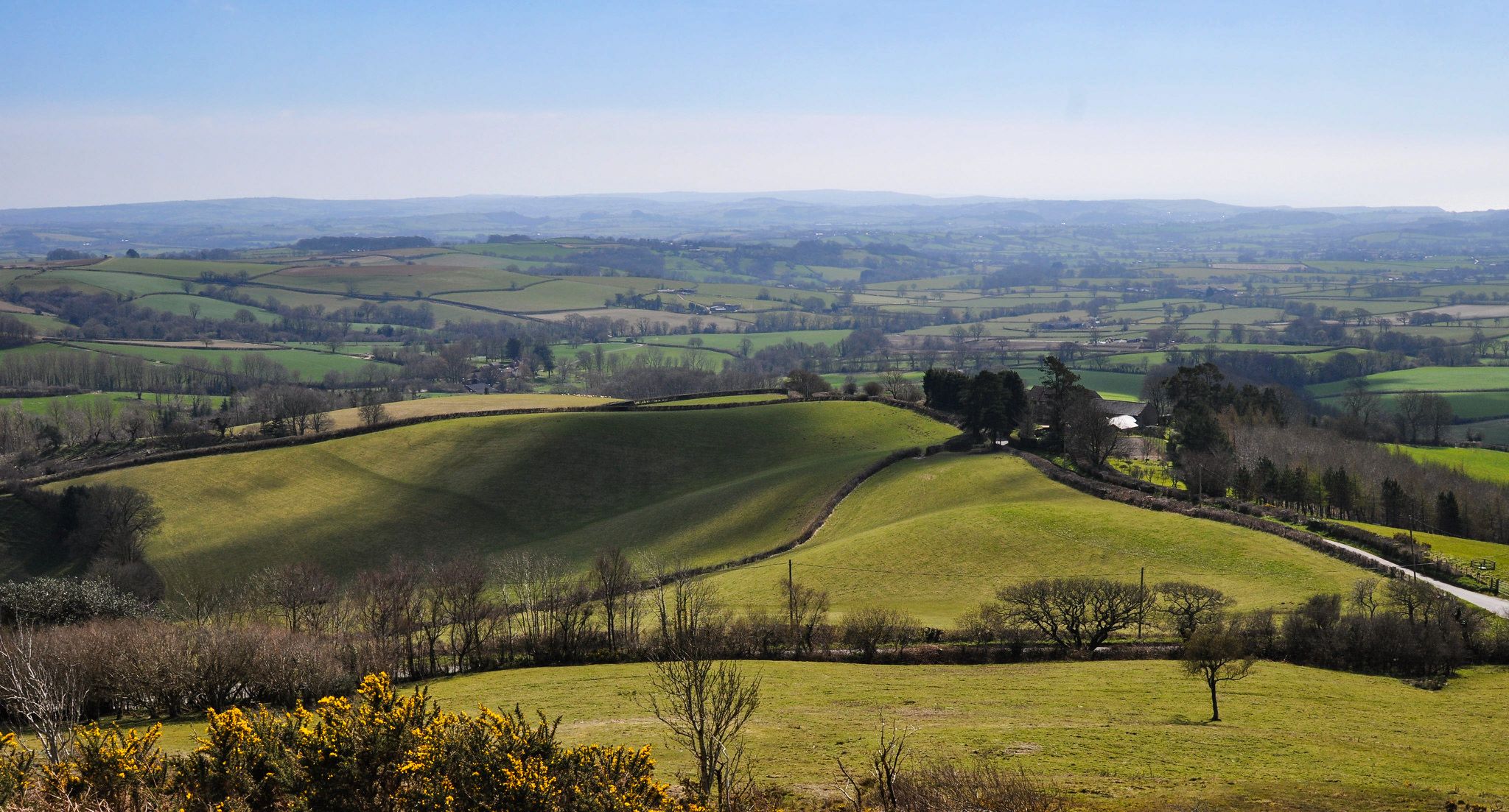
No traffic touring cycling routes around Pangbourne are characterized by a diverse landscape at the confluence of the River Thames and River Pang. The region features flat riverside paths, rolling hills and woodlands of the North Wessex Downs, and the chalk uplands of the Chiltern Hills. This varied terrain provides options for touring cyclists seeking both leisurely rides and challenging ascents.
Best no traffic touring cycling routes around Pangbourne
- The most popular no traffic touring cycling route is Pangbourne Village Sign – Kennet and Avon Canal loop from Pangbourne, a 36.5 miles (58.7 km) trail that takes 3 hours 37 minutes to complete. This difficult route explores varied terrain including sections along the Kennet and Avon Canal.
- Another top favourite among local touring cyclists is Pangbourne Village Sign – The Bell Inn loop from Pangbourne, a moderate 16.3 miles (26.3 km) path. This route offers a mix of countryside views and passes through local villages.
- Local touring cyclists also love the Goring-on-Thames village – Hartslock Gap loop from Pangbourne, a 31.0 miles (49.9 km) trail leading through the Thames Valley and hills, often completed in about 3 hours 12 minutes.
- Touring cycling around Pangbourne is defined by riverside paths along the Thames, rolling hills of the North Wessex Downs, and challenging climbs in the Chiltern Hills. The network offers options for different ability levels, from easy riverside pedals to demanding ascents.
- The routes in Pangbourne are highly rated by the komoot community with an average score of 5.0 stars from more than 5 reviews. More than 200 touring cyclists have used komoot to explore Pangbourne's varied terrain.
Last updated: August 24, 2026
13
riders
58.8km
03:38
510m
510m
Hard bike ride. Very good fitness required. Mostly paved surfaces. Suitable for all skill levels.
5.0
(1)
9
riders
24.1km
01:47
240m
240m
Moderate bike ride. Good fitness required. Mostly paved surfaces. Suitable for all skill levels.

Sign up for free
8
riders
58.2km
03:36
550m
550m
Hard bike ride. Very good fitness required. Mostly paved surfaces. Suitable for all skill levels.
8
riders
26.3km
01:38
250m
250m
Moderate bike ride. Good fitness required. Mostly paved surfaces. Suitable for all skill levels.
5.0
(2)
5
riders
Moderate bike ride. Good fitness required. Mostly paved surfaces. Suitable for all skill levels.
Get access to more routes and recommendations from other explorers.
Sign up for free
Already have an account?
Our route recommendations are based on thousands of hikes, rides, and runs completed by other people on komoot.
Start today with a free account
Your next adventure awaits.
Login or Signup
Other adventures around Pangbourne

Tips from the Community

All cyclists are able to pass the toll bridge for free
0
0

Café has parking in a car-park through an arch further down (on the left). https://www.pangbournecafe.co.uk/ This is not the Artichoke Café, which is round to the left on Reading Road.
0
0


small footbridge to one side is your best bet when cycling and the ford id full.
0
0
Cyclist friendly community owned cafe. Good facilities and outdoor seating for the good weather. plenty of space for bikes.
0
0
Frequently Asked Questions
How many no-traffic touring cycling routes are available around Pangbourne?
Pangbourne offers a selection of 13 dedicated no-traffic touring cycling routes. These routes range in difficulty, with 6 moderate and 7 difficult options, providing diverse experiences for cyclists seeking quieter paths.
What kind of terrain can I expect on these no-traffic cycling routes?
The routes around Pangbourne offer varied terrain. You'll find flat, scenic paths along the River Thames and River Pang, ideal for relaxed rides. Further afield, routes venture into the rolling hills and woodlands of the North Wessex Downs and the challenging ascents of the Chiltern Hills, providing more demanding climbs and panoramic views.
Are there any family-friendly no-traffic cycling routes in Pangbourne?
While the guide primarily features moderate to difficult routes, the flat riverside paths along the Thames and River Pang offer excellent opportunities for family-friendly cycling. These sections provide picturesque views and a relaxed environment away from traffic, though specific routes in this guide are rated moderate or difficult due to overall length and elevation.
What attractions or points of interest can I see along these quiet cycling routes?
Many routes pass by notable attractions. You can cycle past the historic Whitchurch Bridge over the River Thames, enjoy views of the River Thames itself, or explore areas near the Hartslock Nature Reserve. Other highlights include the Sedgehill Spring with Elephant Relief and the Aldworth Ancient Yew Tree.
Are there any circular no-traffic touring cycling routes?
Yes, many of the routes are circular, designed to bring you back to your starting point. Examples include the Pangbourne Village Sign – Kennet and Avon Canal loop from Pangbourne, the Pangbourne Village Sign – The Bell Inn loop from Pangbourne, and the Pangbourne Village Sign – St Nicholas Church, Sulham loop from Pangbourne.
What is the best time of year to cycle these no-traffic routes in Pangbourne?
Spring and autumn generally offer the most pleasant conditions for cycling in Pangbourne, with milder temperatures and beautiful scenery. Summer can be excellent, but riverside paths might be busier. Winter cycling is possible, but be prepared for colder weather and potentially muddy sections, especially on unpaved trails.
Where can I find parking for these quiet touring cycling routes?
Pangbourne village offers various parking options. Many routes start near the Pangbourne Village Sign, where local parking is available. For routes venturing further into the North Wessex Downs or Chiltern Hills, consider checking specific route details for recommended starting points with parking facilities.
Can I access these no-traffic cycling routes using public transport?
Pangbourne is well-connected by train, with a station offering good access for cyclists. Many routes are designed to start and end conveniently near the village center, making it feasible to arrive by public transport and begin your ride directly.
Are there any cafes or pubs along these no-traffic cycling routes?
Pangbourne village itself has several cafes and pubs, perfect for pre- or post-ride refreshments. Some routes, like the Pangbourne Village Sign – The Bell Inn loop from Pangbourne, are specifically named to include stops at local establishments. Many villages and towns along the longer routes also offer cyclist-friendly stops.
What do other touring cyclists enjoy most about cycling in Pangbourne?
The komoot community highly rates the touring cycling experience in Pangbourne, with an average score of 5.0 stars. Reviewers often praise the diverse landscapes, from tranquil riverside paths to challenging climbs with expansive views, and the ability to find genuinely quiet routes away from traffic.
Are there any specific maps available for cycling in Pangbourne?
Yes, in addition to the komoot routes, West Berkshire Council provides a local cycle map. You can find a detailed map of Pangbourne and Whitchurch cycle routes at westberks.gov.uk, which can be helpful for understanding the local network.
How long do these no-traffic touring cycling routes typically take to complete?
The duration varies significantly depending on the route's distance and difficulty. For example, the moderate Pangbourne Village Sign – St Nicholas Church, Sulham loop from Pangbourne (19.5 km) takes around 1 hour 15 minutes, while the difficult Pangbourne Village Sign – Kennet and Avon Canal loop from Pangbourne (58.7 km) can take over 3 hours 30 minutes.
Most popular routes around Pangbourne
Most popular attractions around Pangbourne

Get inspired with the komoot mobile app


Explore more
Browse the best Cycling routes in other regions.
