The best hikes from bus stations around Mottisfont
4.4
(566)
4,359
hikers
7
hikes
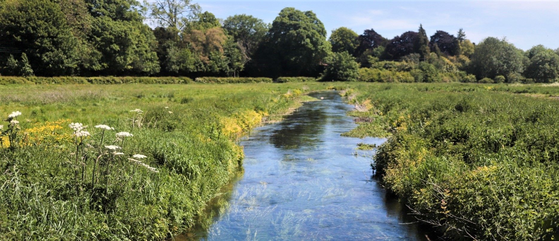
Bus station hiking trails around Mottisfont traverse a landscape characterized by clear chalk streams, ancient woodlands, and expansive open meadows. The region features rolling downland, fertile water meadows, and diverse countryside encompassing farmland and forests. A central natural feature is the River Test, with tributaries flowing through the area, offering varied terrain for exploration. The trails provide access to a blend of natural beauty and historical sites, including Mottisfont Abbey.
Best bus station hiking trails around Mottisfont
- The most popular bus station hiking route is Mottisfont Phone Box Library loop from Mottisfont Bats SSSI, a 3.2 miles (5.2 km) trail that takes 1 hour 22 minutes to complete. This easy route offers a gentle exploration of the local area.
- Another top favourite among local hikers is View of the Countryside – Mottisfont House and Estate loop from Mottisfont Bats SSSI, a moderate 5.8 miles (9.4 km) path. This route provides views across the estate and surrounding countryside.
- Local hikers also love the Test Way – Mottisfont House and Estate loop from Mottisfont Bats SSSI, a 5.6 miles (9.0 km) trail leading through the River Test valley and estate grounds, often completed in about 2 hours 25 minutes.
- Hiking around Mottisfont is defined by clear chalk streams, ancient woodlands, and rolling downland. The network offers options for different ability levels, from easy loops to moderate excursions.
- The routes in Mottisfont are highly rated by the komoot community with an average score of 4.4 stars from over 500 reviews. More than 4000 hikers have used komoot to explore Mottisfont's varied terrain.
Last updated: July 1, 2026
5.0
(6)
70
hikers
Easy hike. Great for any fitness level. Easily-accessible paths. Suitable for all skill levels.
4.8
(8)
67
hikers
Moderate hike. Good fitness required. Easily-accessible paths. Suitable for all skill levels.

Sign up for free
4.5
(14)
53
hikers
9.02km
02:26
110m
110m
Moderate hike. Good fitness required. Easily-accessible paths. Suitable for all skill levels.
4.3
(3)
38
hikers
Moderate hike. Good fitness required. Easily-accessible paths. Suitable for all skill levels.
3.0
(2)
7
hikers
Easy hike. Great for any fitness level. Easily-accessible paths. Suitable for all skill levels.
Get access to more routes and recommendations from other explorers.
Sign up for free
Already have an account?
Our route recommendations are based on thousands of hikes, rides, and runs completed by other people on komoot.
Start today with a free account
Your next adventure awaits.
Login or Signup
Popular around Mottisfont
Other adventures around Mottisfont

Tips from the Community

Lovely house and grounds to wonder pre/post walk or both. Great facilities with two places to eat and drink. National Trust members can gain access for free. Peak times and seasonal interests can be very busy.
0
0


Mottisfont House is very near this and well worth a visit. If you go past this Phone box walking out of Mottisfont you can walk/ride along a lane which leads down to Mottisfont/Dunbridge train station which has a very nice pub next to it for refreshments.
0
0
Nice views and pub nearby next to Mottisfont and Dunbridge station
0
0
Open almost all year round. Stunning on sunny days and great walks all nearby
2
0

Scenic picnic spot near to Hatt Hill on the wider Mottisfont Estate.
0
0
Handy book swap stop in the pretty village of Mottisfont.
0
0
Mottisfont is an 18th-century house converted from a medieval priory. It was transformed into a Neo-classical home in the 1930s by then-owner Maud Russell. The house stands within formal gardens and extensive parkland, surrounded by woods and farmland, all of which is now looked after by the National Trust. The Test Way runs alongside the property, but membership or tickets required for entry.
2
0
Frequently Asked Questions
How many bus-accessible hiking trails are available around Mottisfont?
There are 7 bus-accessible hiking trails around Mottisfont, offering a variety of experiences for different fitness levels. You can find options ranging from easy strolls to more moderate hikes through the picturesque countryside.
Are there easy hiking options reachable by bus in Mottisfont?
Yes, there are 4 easy hiking routes accessible by bus. A great option is the Mottisfont Phone Box Library loop from Mottisfont Bats SSSI, which is just over 5 km long and takes around 1 hour 20 minutes to complete, offering a gentle exploration of the area.
What kind of terrain can I expect on bus-accessible trails near Mottisfont?
The bus-accessible trails around Mottisfont feature diverse terrain, including clear chalk streams, ancient woodlands, and expansive open meadows. You'll encounter rolling downland, fertile water meadows, and paths through farmland and forests. Some sections may be uneven or muddy after rain, so appropriate footwear is recommended.
Are there any family-friendly bus-accessible hikes in Mottisfont?
Absolutely. Many of the trails are suitable for families. The Hatt Lane Cycle Path – Mottisfont Phone Box Library loop from Mottisfont Bats SSSI is an easy 4.3 km route, perfect for a shorter outing with children, offering pleasant views and gentle paths.
Can I bring my dog on the bus-accessible hiking trails around Mottisfont?
Yes, many of the trails around Mottisfont are dog-friendly. The region's diverse landscapes, including woodlands and open spaces, provide excellent opportunities for walks with your canine companion. Always keep dogs under control and be mindful of local signage, especially near livestock or nature reserves.
What natural features can I see along these bus station routes?
The routes often follow the iconic River Test and its tributaries, where you might spot trout and swans. You can also admire ancient trees like London planes, horse chestnuts, and oaks. The area is rich in biodiversity, offering chances to observe various bird species like kingfishers and woodpeckers, and even otters.
Are there any circular routes starting from bus stops in Mottisfont?
Yes, several routes are designed as loops, making them convenient for public transport users. For example, the View of the Countryside – Mottisfont House and Estate loop from Mottisfont Bats SSSI is a moderate 9.3 km circular trail that allows you to explore the estate and surrounding views without needing to retrace your steps.
What attractions can I visit near the bus-accessible trails?
Many trails pass by or near significant attractions. You can explore the historic Mottisfont Abbey and its renowned walled rose garden. The Test Way – Mottisfont House and Estate loop from Mottisfont Bats SSSI will lead you through parts of the estate. Further afield, you might encounter highlights like Testwood Lakes Nature Reserve or the expansive The New Forest.
What is the best time of year to hike around Mottisfont using public transport?
Mottisfont is beautiful year-round. Spring brings the famous rose garden into bloom and fresh greenery. Summer offers pleasant weather for longer hikes. Autumn showcases stunning foliage, while winter provides crisp, quiet walks, though some paths may be muddier. Always check local bus schedules, as they can vary seasonally.
Are there places to eat or drink near the bus-accessible hiking routes?
While the immediate bus stops might not have extensive facilities, the village of Mottisfont and nearby areas offer options. You can find pubs and cafes within a reasonable distance from some trailheads, perfect for a refreshment after your hike. The Lamb Inn, Nomansland is one such option in the wider region.
What do other hikers enjoy most about hiking in Mottisfont?
The area is highly rated by the komoot community, with an average score of 4.37 stars. Reviewers often praise the tranquil beauty of the River Test, the well-maintained paths through ancient woodlands, and the historical charm of Mottisfont Abbey. The variety of landscapes and the peaceful atmosphere are frequently highlighted.
Most popular routes around Mottisfont
Most popular attractions around Mottisfont

Get inspired with the komoot mobile app


Explore more
Browse the best Hikes in other regions.
