The best hikes from bus stations around Bentley Pauncefoot
4.6
(771)
5,405
hikers
273
hikes
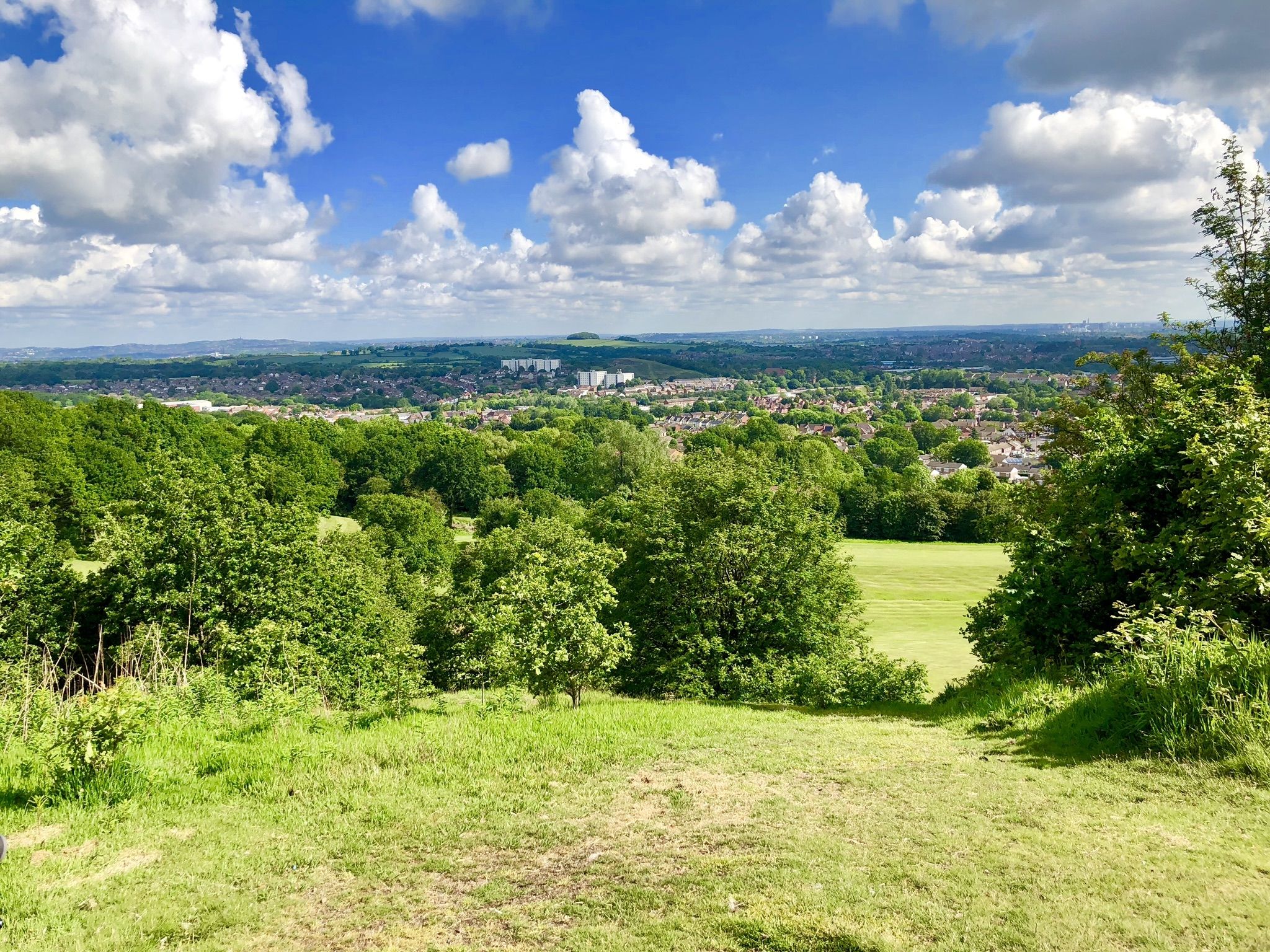
Bus station hiking trails around Bentley Pauncefoot offer a diverse landscape of woodlands, open fields, and tranquil waterways. The region is characterized by a network of public footpaths that traverse quiet country lanes, canal towpaths, and wooded areas. Key natural features include Swans Brook, the Tardebigge Reservoir, and its historic canal locks. This area provides a variety of routes suitable for different ability levels, primarily featuring gentle elevation changes.
Best bus station hiking trails around Bentley Pauncefoot
- The most popular bus station hiking route is Canal Lock and Bridge No. 52 – Tardebigge Top Lock loop from Tutnall and Cobley CP, a 6.9 miles (11.0 km) moderate trail that takes 2 hours 54 minutes to complete. This route features the historic Tardebigge Canal locks and surrounding countryside.
- Another top favourite among local hikers is Wooden Bridge Over Swann Brook loop from Webheath, an easy 3.5 miles (5.6 km) path. This trail follows the course of Swans Brook through woodlands and open fields.
- Local hikers also love the View of Tardebigge Canal loop from Tutnall and Cobley CP, a 3.4 miles (5.4 km) trail leading through fields and alongside the Tardebigge Canal, often completed in about 1 hour 26 minutes.
- Hiking around Bentley Pauncefoot is defined by woodlands, open fields, and canal towpaths, offering a mix of natural beauty and historical interest. The extensive network of public footpaths provides options for various ability levels, from easy strolls to moderate excursions.
- The routes in Bentley Pauncefoot are highly rated by the komoot community with an average score of 4.6 stars from more than 700 reviews. More than 5000 hikers have used komoot to explore Bentley Pauncefoot's varied terrain.
Last updated: July 1, 2026
5.0
(2)
4
hikers
Moderate hike. Good fitness required. Easily-accessible paths. Suitable for all skill levels.
3
hikers
5.60km
01:29
60m
60m
Easy hike. Great for any fitness level. Easily-accessible paths. Suitable for all skill levels.
2
hikers
5.42km
01:27
60m
60m
Easy hike. Great for any fitness level. Easily-accessible paths. Suitable for all skill levels.
Get access to more routes and recommendations from other explorers.
Sign up for free
Already have an account?
Our route recommendations are based on thousands of hikes, rides, and runs completed by other people on komoot.
Start today with a free account
Your next adventure awaits.
Login or Signup
Popular around Bentley Pauncefoot
Other adventures around Bentley Pauncefoot

Tips from the Community

Large, free car park which is open for walkers - provided you dont stay overnight
0
0


Watch out for walkers around some of the locks. Few blind corners.
0
0

Very quiet place, which is popular among runners and walkers. However, Worcestershire&Birmingham channel is relatively well-surfaced at this section (compacted gravel with some cobblestones). So, it can be carefully(!) completed on road bikes with decent tires. If not, then ~1km of pushing in total from the nearest road.
0
0


Architecture and engineering fans delight - so many rural scenes to discover along the Worcester and Birmingham Canal.
1
0
Tardebigge Locks or the Tardebigge Flight is the longest flight of locks in the UK, comprising 30 narrow locks on a two-and-a-quarter-mile stretch of the Worcester and Birmingham Canal at Tardebigge, Worcestershire. Well worth checking out... and realising that travelling on foot or bike it a lot quicker than travelling by canal boat!
1
0
Frequently Asked Questions
How many hiking trails are accessible from bus stations around Bentley Pauncefoot?
There are over 260 hiking trails around Bentley Pauncefoot that are easily accessible from local bus stations. These routes offer a wide range of experiences, from leisurely strolls to more challenging excursions through the Worcestershire countryside.
What kind of terrain can I expect on bus-accessible hikes in Bentley Pauncefoot?
Hikes around Bentley Pauncefoot accessible by bus feature a diverse landscape. You can expect to traverse tranquil country lanes, follow scenic canal towpaths, wander through woodlands, and cross open farmland. The area is known for its gentle waterways like Swans Brook and the historic Tardebigge Reservoir and Locks.
Are there easy, family-friendly routes available from bus stops?
Yes, there are many easy and family-friendly routes. For instance, the Wooden Bridge Over Swann Brook loop from Webheath is an easy 5.5 km path that follows the tranquil Swans Brook, perfect for a relaxed family outing. Another gentle option is the View of Tardebigge Canal loop from Tutnall and Cobley CP, offering pleasant canal views.
What are the best times of year to hike around Bentley Pauncefoot?
The Bentley Pauncefoot area is beautiful year-round. Spring brings vibrant wildflowers to woodlands and meadows, while autumn offers stunning foliage along canal paths and through forests. Summer is ideal for longer walks, and even winter can be picturesque, especially around the Tardebigge Locks, though paths might be muddy.
Are there any circular routes that start and end near a bus stop?
Many routes in the area are designed as circular loops, making them convenient for public transport users. For example, the moderate Canal Lock and Bridge No. 52 – Tardebigge Top Lock loop from Tutnall and Cobley CP is a 11 km circular trail that can be accessed from bus stops in the vicinity of Tutnall and Cobley.
What interesting landmarks or attractions can I see along these bus-accessible trails?
You'll find several notable landmarks and natural features. The historic Tardebigge Locks are a central feature for many walks, offering a glimpse into local history. You might also encounter the tranquil Swans Brook. For broader views, consider routes that pass near Bilberry Hill Viewpoint or Waseley Hills Viewpoint, which offer panoramic vistas of Worcestershire.
Are the hiking trails around Bentley Pauncefoot dog-friendly?
Yes, many trails are dog-friendly, but it's crucial to keep dogs on a lead, especially when walking through farmland where livestock may be present. The canal towpaths and woodland trails are generally suitable for dogs. Always remember to clean up after your pet.
What do other hikers enjoy most about the trails around Bentley Pauncefoot?
The area is highly rated by the komoot community, with an average score of 4.58 stars from over 730 ratings. Reviewers often praise the peaceful rural setting, the well-maintained canal towpaths, and the diverse scenery of woodlands and open fields. The historic Tardebigge Locks are also frequently highlighted as a point of interest.
Are there places to eat or drink near the bus-accessible trailheads?
While Bentley Pauncefoot itself is a rural township, the wider region around Redditch and Bromsgrove offers various pubs and cafes. Many popular hiking areas, especially those near the Tardebigge Locks or in nearby country parks like Lickey Hills, have amenities or are within a short distance of local establishments where you can find refreshments.
Do I need any special permits to hike in Bentley Pauncefoot?
No, you do not need any special permits to hike on the public footpaths and trails around Bentley Pauncefoot. The extensive network of public rights of way is freely accessible for walkers.
Most popular routes around Bentley Pauncefoot
Most popular attractions around Bentley Pauncefoot

Get inspired with the komoot mobile app


Explore more
Browse the best Hikes in other regions.
