The best hikes from bus stations around Thetford
4.5
(455)
3,552
hikers
12
hikes
Bus station hiking trails around Thetford primarily explore the expansive Thetford Forest, the largest lowland pine forest in Great Britain. The region is characterized by a generally flat landscape, featuring a mix of pine woodlands, open heathlands, and broadleaved trees, forming the distinctive Breckland environment. Many routes follow the tranquil Little Ouse River, adding a waterside element to the hikes. The terrain is largely accessible, offering diverse experiences within a unique natural setting.
Best bus station hiking trails around Thetford
…Last updated: July 1, 2026
5.0
(1)
12
hikers
5.38km
01:22
20m
20m
Easy hike. Great for any fitness level. Easily-accessible paths. Suitable for all skill levels.
4.0
(1)
21
hikers
4.26km
01:05
10m
10m
Easy hike. Great for any fitness level. Easily-accessible paths. Suitable for all skill levels.

Sign up for free
3.0
(2)
4
hikers
7.73km
02:00
40m
40m
Easy hike. Great for any fitness level. Easily-accessible paths. Suitable for all skill levels.
5.0
(1)
10
hikers
22.0km
05:42
130m
130m
Hard hike. Very good fitness required. Easily-accessible paths. Suitable for all skill levels.
3.0
(1)
5
hikers
4.05km
01:03
20m
20m
Easy hike. Great for any fitness level. Easily-accessible paths. Suitable for all skill levels.
Get access to more routes and recommendations from other explorers.
Sign up for free
Already have an account?
Our route recommendations are based on thousands of hikes, rides, and runs completed by other people on komoot.
Start today with a free account
Your next adventure awaits.
Login or Signup


Tips from the Community

Starting from the forestry commision car park, hed over the bridge and turn right. This will give you several options for forestry trails and if you head towards Lynford you can then pop on to the road for a short trip to Browns cafe.
0
0

A wooden footbridge across the Little Ouse. It's built on the site of the old Coxton Staunch, a lock or water control gate that was used to help control water levels and flow.
0
0
The Little Ouse Path follows the banks of the river for about 9 miles (14.5 km) between Thetford and Brandon. Following the river means it's quite level and reasonably well surfaced throughout. The route walks through reedbeds, heathland and forest with a fascinating variety of fauna and flora throughout the year. Rail and bus links between the two towns means that this trail can be enjoyed in one direction relatively easily.
0
1
A really useful wooden footbridge across the River Little Ouse near Santon House. It carries a footpath over the river used by several long distance trails. The Little Ouse Path crosses here.
0
0
The Stanton Downham Bridge was built during the first world war as a rail bridge to transport timber and logging machines. It's been a road bridge since about 1922. The bridge crosses the Little Ouse River.
0
0


The statue was unveiled in June 2010 and was funded by Friends of Thetford Museum. The Dad's Army Museum is nearby in Cage Lane in Thetford, dedicated to the BBC comedy series Dad's Army.
0
0

Frequently Asked Questions
How many hiking trails are accessible from Thetford bus station?
There are 13 hiking trails directly accessible from Thetford bus station. These routes offer a variety of experiences, from short riverside strolls to longer explorations into the surrounding Breckland landscape.
What is the general terrain like on hikes accessible from Thetford bus station?
The terrain around Thetford is generally flat, characteristic of the Breckland environment. You'll find a mix of pine woodlands, open heathlands, and paths alongside the tranquil Little Ouse River. While mostly flat, some routes may have gentle undulations, but significant elevation gain is uncommon.
Are there easy or beginner-friendly hikes from Thetford bus station?
Yes, 11 of the 13 routes are rated as easy. A great option for a gentle introduction is the Picnic Bench by the River – Nuns Bridges loop from Thetford, which is just under 4 km and offers pleasant riverside views. Another easy choice is the Thetford Priory Ruins – Thomas Paine Statue, Thetford loop from Thetford, which explores local history and green spaces.
Are there circular routes available from Thetford bus station?
Yes, many of the routes accessible from Thetford bus station are circular, allowing you to start and end your hike at the same point without needing to retrace your steps. For example, the Thomas Paine Statue, Thetford – Picnic Bench by the River loop from Thetford is a popular circular option that covers about 7.7 km.
What natural features or landmarks can I see on these trails?
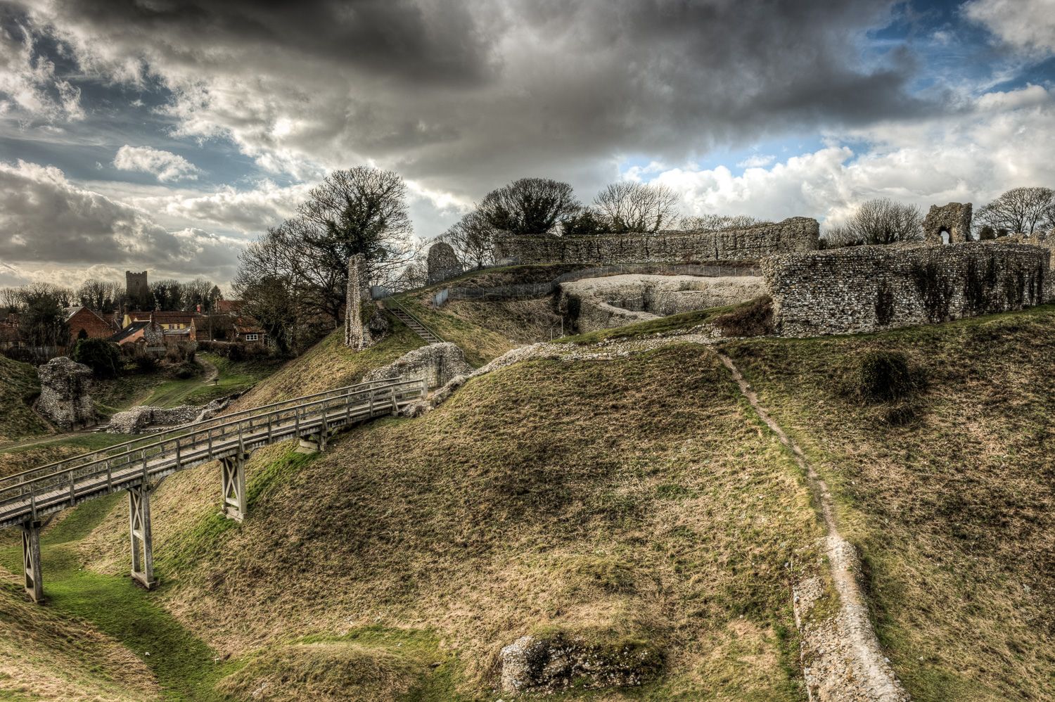
Many trails follow the Little Ouse River, offering scenic waterside views. You can also explore historical sites like the Thetford Castle Hill Motte. The region is known for its unique Breckland landscape, a mix of pine forests and heathlands. Some routes may also pass by the Thompson Water or the Langmere Lake.
Are there any family-friendly options for hiking from Thetford bus station?
Absolutely. The generally flat terrain and shorter loop options make many trails suitable for families. The easy-rated routes, such as the Thomas Paine Statue, Thetford – The Red Lion loop from Thetford, are ideal for walks with children, offering manageable distances and points of interest along the way.
Can I bring my dog on these bus-accessible hikes?
Yes, Thetford Forest and the surrounding areas are generally very dog-friendly. Most trails allow dogs, but it's always recommended to keep them on a lead, especially near livestock, wildlife, or in designated nature reserve areas. Please ensure you clean up after your dog to help keep the trails enjoyable for everyone.
Are there any pubs or cafes near the bus station trails?
Yes, Thetford town centre, where the bus station is located, offers various pubs and cafes where you can refresh before or after your hike. Some routes, like the Thomas Paine Statue, Thetford – The Red Lion loop from Thetford, even pass by local establishments, providing convenient stops.
What do other hikers enjoy most about hiking in Thetford?
The trails around Thetford are highly rated by the komoot community, with an average score of 4.5 stars from over 400 ratings. Reviewers often praise the peaceful woodlands, the scenic riverside paths, and the accessibility of the routes from public transport, making it easy to explore the unique Breckland landscape.
What is the longest hike I can do from Thetford bus station?
The longest hike directly from Thetford bus station is the Little Ouse Path, Thetford – Santon Downham Bridge loop from Thetford. This challenging route spans over 22 km, offering an extensive exploration of the Little Ouse River valley and surrounding areas.
Most popular routes around Thetford
Most popular attractions around Thetford

Get inspired with the komoot mobile app


Explore more
Browse the best Hikes in other regions.
