The best hikes from bus stations around Elloughton Cum Brough
4.6
(69)
504
hikers
17
hikes
Bus station hiking trails around Elloughton Cum Brough offer access to the southern edge of the Yorkshire Wolds, characterized by rolling hills, dales, and woodlands. The region provides views over the Vale of York and the Humber Estuary. This landscape features limestone plateaus, secluded dales, and quiet woodlands like South Wold Plantation. The area's diverse terrain includes both gentle paths and more challenging ascents, making it suitable for various hiking preferences.
Best bus station hiking trails around Elloughton Cum Brough
- The most popular bus station hiking route is Welton Dale – St Helen’s Church, Welton loop from Brough, a 5.5 miles (8.8 km) moderate trail that takes 2 hours 25 minutes to complete. This route guides hikers through the valley and past the historic St Helen's Church.
- Another top favourite among local hikers is View of Elloughton – South Wold Plantation loop from Brough, an easy 2.6 miles (4.1 km) path. This trail winds through woodland and offers dedicated viewpoints over Elloughton.
- Local hikers also love the View of the River Humber – St Helen’s Church, Welton loop from Brough, a 3.0 miles (4.9 km) trail leading through varied terrain, often completed in about 1 hour 17 minutes.
- Hiking around Elloughton Cum Brough is defined by rolling hills, serene woodlands, and views of the Humber Estuary. The network offers options for different ability levels, from easy strolls to moderate hikes.
- The routes in Elloughton Cum Brough are highly rated by the komoot community with an average score of 4.6 stars from over 60 reviews. More than 500 hikers have used komoot to explore Elloughton Cum Brough's varied terrain.
Last updated: July 14, 2026
4.7
(18)
135
hikers
8.82km
02:25
140m
140m
Moderate hike. Good fitness required. Easily-accessible paths. Suitable for all skill levels.
4.8
(12)
92
hikers
4.15km
01:11
100m
100m
Easy hike. Great for any fitness level. Easily-accessible paths. Suitable for all skill levels.

Sign up for free
4.2
(6)
42
hikers
8.40km
02:16
110m
110m
Moderate hike. Good fitness required. Easily-accessible paths. Suitable for all skill levels.
3.0
(1)
11
hikers
5.62km
01:34
100m
100m
Easy hike. Great for any fitness level. Easily-accessible paths. Suitable for all skill levels.
5.0
(1)
9
hikers
10.2km
02:46
150m
140m
Moderate hike. Good fitness required. Easily-accessible paths. Suitable for all skill levels.
Get access to more routes and recommendations from other explorers.
Sign up for free
Already have an account?
Our route recommendations are based on thousands of hikes, rides, and runs completed by other people on komoot.
Start today with a free account
Your next adventure awaits.
Login or Signup
Popular around Elloughton Cum Brough
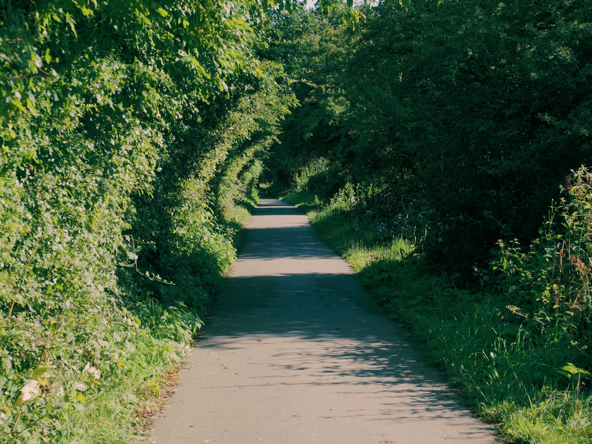
Other adventures around Elloughton Cum Brough

Tips from the Community


Really picturesque village, grab a coffee at South Cave serviced
0
0

This is clearly a popular route. I never see anyone at the godforsaken hours that I go out hiking and trailrunning (generally start before sunrise in winter), yet I did see plenty of dogwalkers, hikers and runners out and about in Welton Dale and surrounding bridleways and footpaths. As a result a lot of the tracks are very muddy. Not boggy, you won't lose a shoe, but they can be very slippery in winter.
1
0
Originally constructed as part of the Welton House estate. The original house was demolished in 1952 but the Mill House is now listed. Loads of history at https://www.yorkshiregardenstrust.org.uk/research/sites/welton-house
1
0
Can't comment on the views after an early-morning winter trot in thick fog, but the tracks (all public footpaths around here, no bridleways) are decent quality and not too boggy for the time of year.
1
0
If you like detail (and lots of it), then you can find a decent history of Welton House (now long gone) and the estate at https://www.yorkshiregardenstrust.org.uk/research/sites/welton-house.
1
0
Also known as a washdyke, this deep, brick-lined basin was where the annual pre-shearing washing took place in full view of the public. It was restored in 2009 when railings were added to stop people falling in. Used regularly until the 1950s when chemical sheep-dipping became prevalent on farms, it was activated by villagers using a metal bung to dam the spring-fed stream on the morning of washing day, and letting it fill with water.
1
0
All Saints’ Church is 12th Century in origin and was restored by the Victorians in the late 19th Century. It is situated almost at the foot of Brantingham Dale in an open aspect. It is without doubt one of the most picturesque churches in the East Riding of Yorkshire. A fairly detailed history of the church compiled in 1965 and updated in 2014 is available as a pdf at https://d3hgrlq6yacptf.cloudfront.net/5f115a55324ea/content/pages/documents/1573224210.pdf
1
0
Frequently Asked Questions
How many bus station hiking trails are available around Elloughton Cum Brough?
There are 18 hiking routes accessible from bus stations in and around Elloughton Cum Brough. These trails cater to various fitness levels, with 12 easy, 5 moderate, and 1 difficult option.
What kind of terrain can I expect on bus-accessible hikes in Elloughton Cum Brough?
The trails primarily traverse the southern edge of the Yorkshire Wolds, offering a mix of gentle, rolling hills, picturesque dales, open fields, and serene woodlands. You'll find paths with views over the Vale of York and the Humber Estuary, often on well-maintained trails.
Are there any easy, family-friendly walks from bus stations in the area?
Yes, there are several easy routes perfect for families. For example, the View of Elloughton – South Wold Plantation loop from Brough is a 4.1 km easy path through woodland with dedicated viewpoints. Another option is the View of the River Humber – St Helen’s Church, Welton loop from Brough, which is 4.8 km and also rated easy.
Can I bring my dog on these bus station hiking trails?
Many of the trails around Elloughton Cum Brough are suitable for dogs, especially those that pass through woodlands and open fields. However, always keep dogs on a lead, particularly near livestock or in nature reserves. Be mindful of local signage regarding dog access.
What interesting landmarks or natural features can I see along the trails?
You can explore various points of interest. The Welton Dale – St Helen’s Church, Welton loop from Brough takes you past the historic St Helen’s Church, Welton and through the scenic Welton Dale. Other routes offer views of the Humber Estuary or pass through quiet areas like South Wold Plantation. The region also has a rich Roman history, with Brough once being Petuaria.
Are there any circular walks available from bus stops?
Yes, many of the routes are designed as circular loops, making them convenient for bus users. Examples include the Welton Dale – St Helen’s Church, Welton loop from Brough and the View of Elloughton – South Wold Plantation loop from Brough, both starting and ending near bus stops.
What is the best time of year to go hiking from bus stations in Elloughton Cum Brough?
The area is enjoyable year-round. Spring and summer offer lush greenery and wildflowers, while autumn brings vibrant colours to the woodlands. Even in winter, the gentle terrain of the Yorkshire Wolds makes for pleasant walks, though paths can be muddy, so appropriate footwear is advised.
Are there opportunities for wildlife spotting on these hikes?
Absolutely. Welton Dale is noted for its local wildlife. The expansive Humber Estuary is excellent for birdwatching, and nearby nature reserves like Waters' Edge Country Park and North Cave Wetlands are highly regarded for observing waders, wildfowl, and kingfishers. Many woodland paths offer chances to see local fauna.
What do other hikers enjoy most about the bus-accessible trails in Elloughton Cum Brough?
The area is highly rated by the komoot community, with an average score of 4.6 stars. Reviewers often praise the diverse landscapes, the accessibility of trails from public transport, and the charming mix of rolling hills, dales, and woodlands that characterize the Yorkshire Wolds.
Are there any longer, more challenging bus-accessible hikes?
While many routes are easy to moderate, the region does offer longer options. For instance, the Brantingham Village Pond – South Wold Plantation loop from Brantingham is a moderate 8.4 km hike with over 100m of elevation gain, providing a more extended experience through varied terrain.
Can I find places to eat or drink near the bus station trailheads?
Elloughton Cum Brough and nearby villages like Welton and Brantingham offer local pubs and cafes where you can refresh before or after your hike. These establishments often provide a welcoming stop for walkers.
Most popular routes around Elloughton Cum Brough
Most popular attractions around Elloughton Cum Brough

Get inspired with the komoot mobile app


Explore more
Browse the best Hikes in other regions.
