The best hikes from bus stations around Ribble Valley
4.4
(2779)
19,355
hikers
146
hikes
Bus station hiking trails around Ribble Valley traverse a diverse landscape of rolling hills, river valleys, and extensive woodlands. The region is characterized by the meandering River Ribble and includes significant portions of the Forest of Bowland Area of Outstanding Natural Beauty. Hikers encounter varied terrain, from riverside paths to the slopes of prominent hills like Pendle Hill, offering a range of natural features for exploration.
Best bus station hiking trails around Ribble Valley
- The most popular bus station hiking…
Last updated: October 17, 2026
4.3
(21)
117
hikers
10.5km
02:44
70m
70m
Moderate hike. Good fitness required. Easily-accessible paths. Suitable for all skill levels.
4.6
(14)
87
hikers
12.0km
03:21
240m
240m
Moderate hike. Good fitness required. Easily-accessible paths. Suitable for all skill levels.

5.0
(8)
74
hikers
7.16km
01:52
50m
50m
Easy hike. Great for any fitness level. Easily-accessible paths. Suitable for all skill levels.
4.8
(4)
42
hikers
5.39km
01:29
90m
90m
Easy hike. Great for any fitness level. Easily-accessible paths. Suitable for all skill levels.
4.7
(3)
35
hikers
15.8km
04:56
620m
620m
Moderate hike. Good fitness required. Easily-accessible paths. Suitable for all skill levels.
Get access to more routes and recommendations from other explorers.
Already have an account?
Our route recommendations are based on thousands of hikes, rides, and runs completed by other people on komoot.
Start today with a free account
Your next adventure awaits.
Popular around Ribble Valley

Hikes from bus stations around Clitheroe

Hikes from bus stations around Whalley
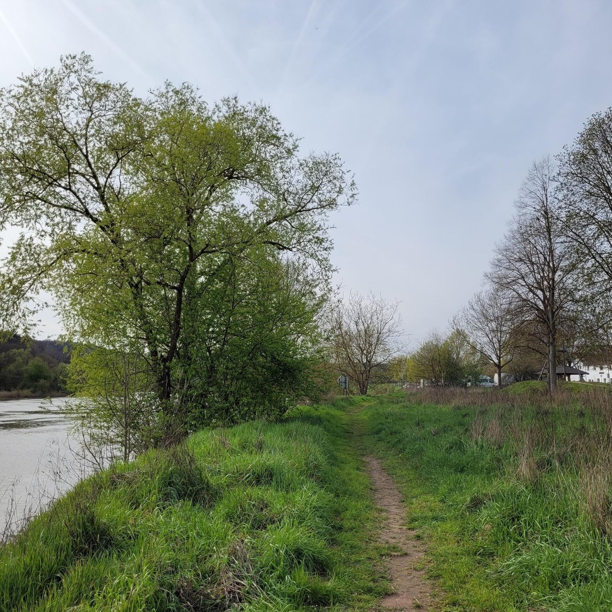
Hikes from bus stations around Barrow

Hikes from bus stations around Chatburn
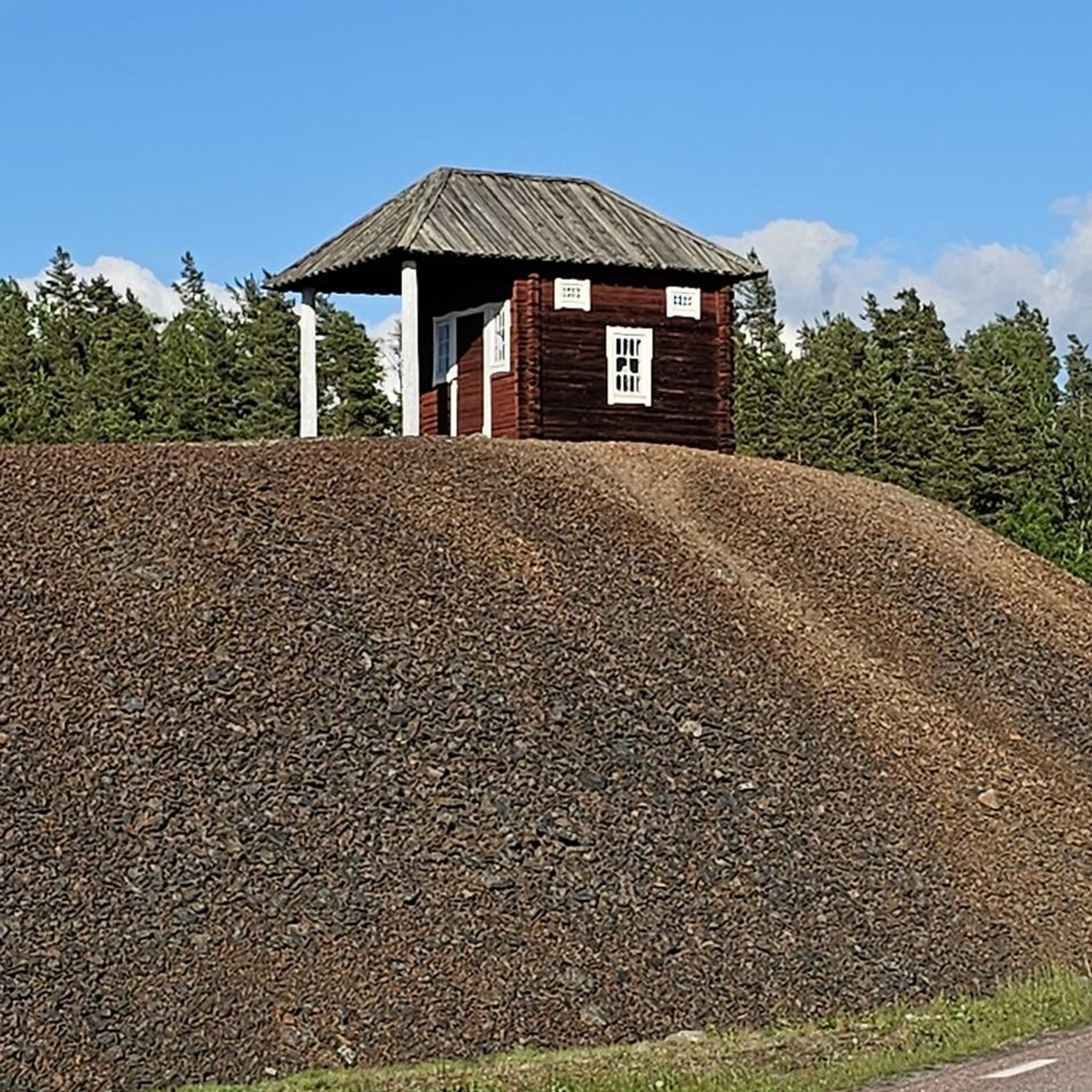
Hikes from bus stations around Sabden
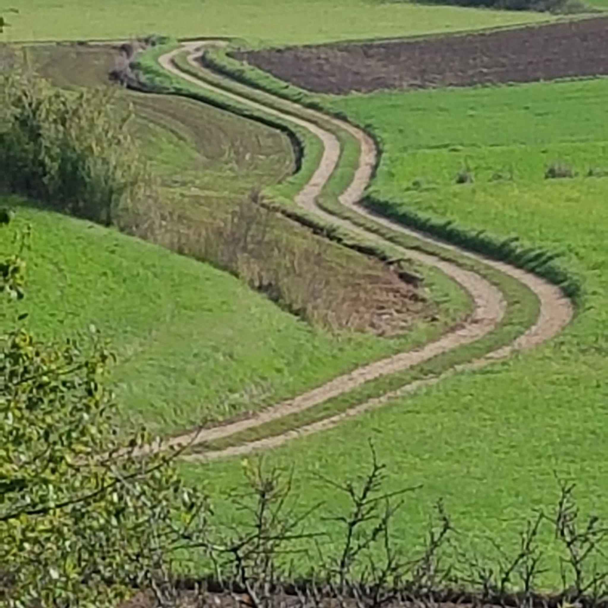
Hikes from bus stations in Gisburn Forest

Hikes from bus stations around Newton
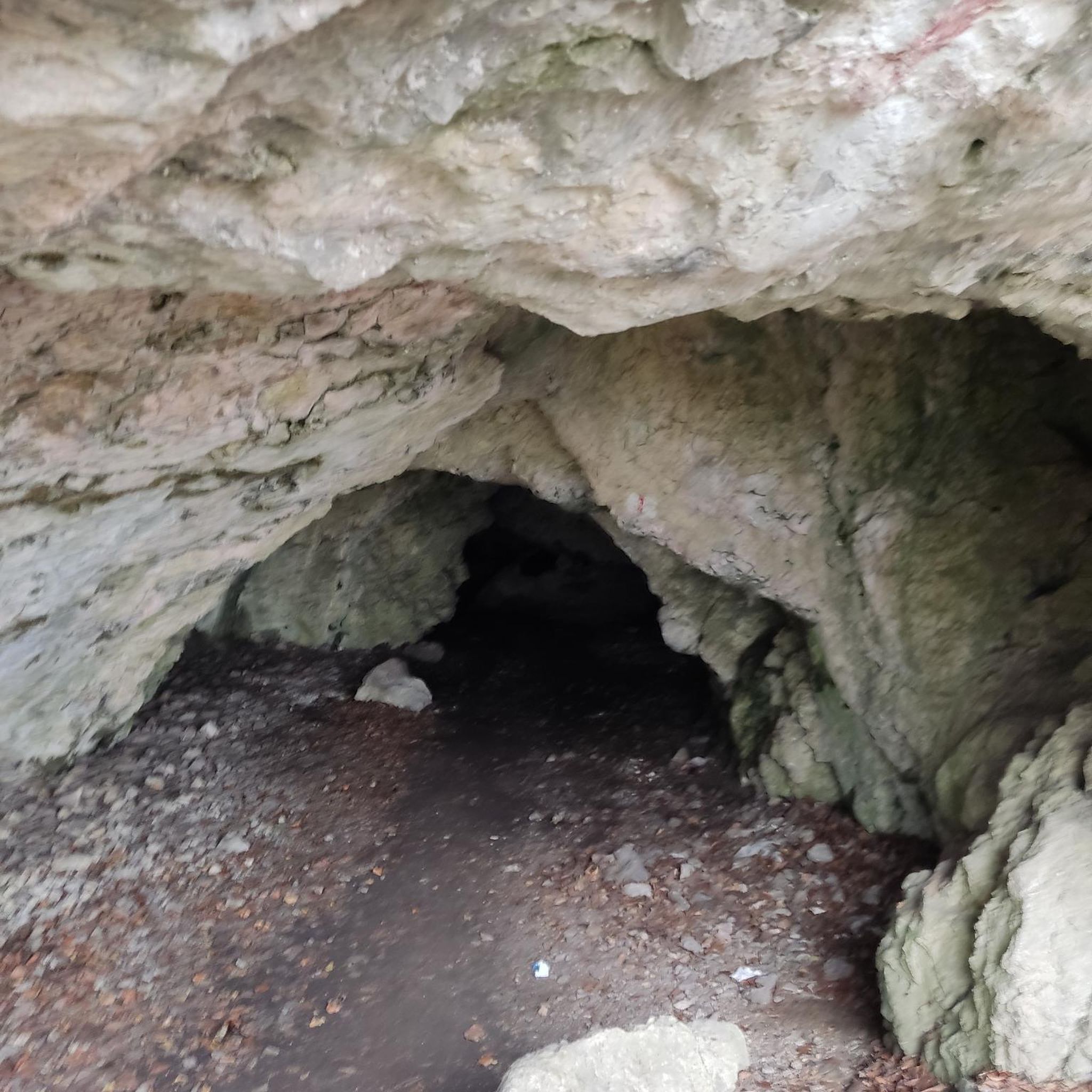
Hikes from bus stations around Slaidburn
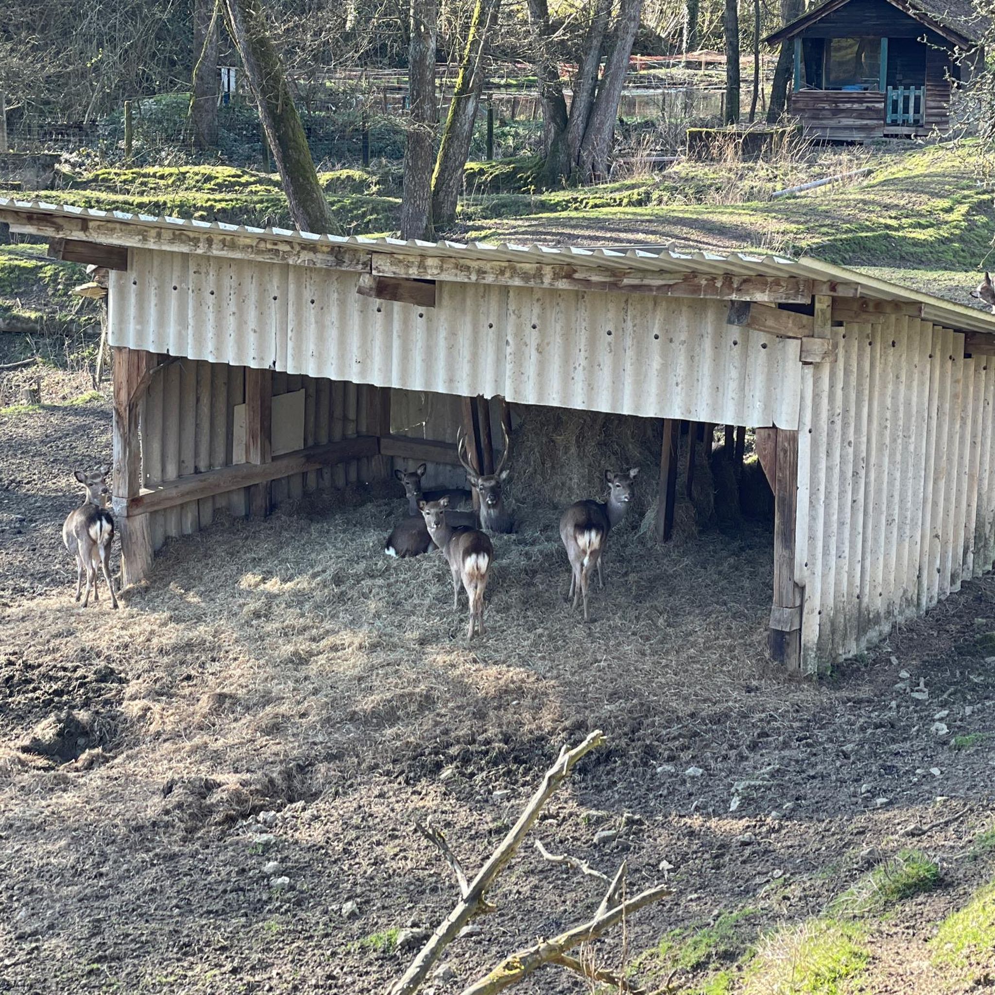
Hikes from bus stations around Billington And Langho
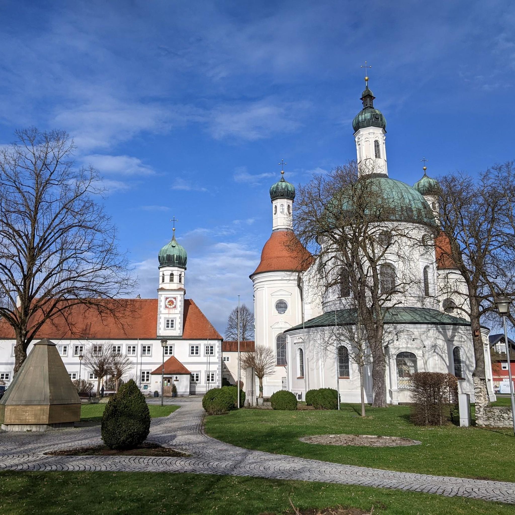
Hikes from bus stations around Grindleton
Other adventures around Ribble Valley


Tips from the Community


The Upper Ogden was completed in 1906 and has a surface area of 2.84 hectares and is 17.9 metres deep. As a very impressive spillway.
0
0

Built in the 1930's as a water treatment works. The attractive building as now been converted into residential properties.
0
0
Walkers are faced with two choices to climb the hill, either the shorter but steeper steps or a longer but not so steep switchback path.
0
0

Don't forget that it's always windy on top.
1
0
Lovely place, easy to park there. Also quite good place to finish the hike as plenty of places to get food and drinks.
0
0
Frequently Asked Questions
How many bus-accessible hiking trails are available in Ribble Valley?
There are over 150 hiking trails in Ribble Valley that are easily accessible from bus stations, offering a wide range of experiences for all skill levels. You'll find a good mix of easy and moderate routes, with a few more challenging options as well.
What kind of terrain can I expect on bus station hikes in Ribble Valley?
Ribble Valley, often called 'Little Switzerland', offers diverse terrain. You can expect rolling hills, tranquil riverside paths along the River Ribble, extensive woodlands, and open fells. Many routes traverse parts of the Forest of Bowland AONB, featuring limestone hills and remote moorlands. Trails vary from gentle, flat paths to more undulating ascents.
Are there any family-friendly hiking routes accessible by bus in Ribble Valley?
Yes, Ribble Valley has several family-friendly options. For an easy, shorter walk, consider the Downham Village – Chatburn Village loop from Chatburn, which is just over 5 km. Another great choice is the Chatburn Village – View of Pendle Hill loop from Chatburn, offering pleasant views without significant elevation gain.
Can I bring my dog on these bus-accessible hiking trails?
Many trails in Ribble Valley are dog-friendly, but it's always best to check specific route details for any restrictions, especially when passing through farmland or nature reserves where livestock may be present. Always keep dogs on a lead where required and clean up after them. The region's varied landscapes, including woodlands and riverside paths, offer plenty of opportunities for walks with your canine companion.
What are some notable natural features or landmarks I can see on these hikes?
Ribble Valley is rich in natural beauty and historical landmarks. You might encounter the iconic Pendle Hill, offering expansive views, or the tranquil River Ribble. Highlights along various routes include the Confluence of the Rivers Calder and Ribble, the Tolkien Oak Tree – River Hodder, and stunning vistas like the View of the Forest of Bowland from Jeffrey Hill.
Are there any circular routes starting from bus stops?
Yes, many of the bus-accessible routes are circular, allowing you to start and end your hike at the same bus stop. For example, the Edisford Bridge – Carved Wooden Chair loop from Clitheroe is a moderate circular hike. Another option is the Whalley Old Bridge – River Calder loop from Whalley, which offers a pleasant riverside experience.
What do other hikers say about the bus station trails in Ribble Valley?
The komoot community highly rates hiking in Ribble Valley, with an average score of 4.4 stars from over 2,200 ratings. Hikers often praise the region's stunning natural beauty, the variety of landscapes, and the well-maintained paths that make exploring accessible even without a car.
Are there any longer, more challenging bus-accessible hikes?
While many routes are easy to moderate, some longer options are available. The Stocks Reservoir Shoreline – St James' Church, Dalehead loop from Tosside is a moderate route stretching over 14 km, offering a more extensive exploration of the area's natural beauty, including the popular Stocks Reservoir.
What is the best time of year to hike in Ribble Valley using public transport?
Spring, summer, and early autumn generally offer the most pleasant conditions for hiking in Ribble Valley, with milder weather and longer daylight hours. However, the region's diverse landscapes are beautiful year-round. Always check local weather forecasts before heading out, especially during winter months when conditions can be more challenging.
Where can I find more information about Ribble Valley as a hiking destination?
For broader information about the Ribble Valley and Forest of Bowland AONB, including general visitor information and other activities, you can visit official tourism sites. For example, VisitEngland and Visit Lancashire provide useful resources.
Are there opportunities to see wildlife on these trails?
Yes, the Ribble Valley, particularly within the Forest of Bowland AONB, is a haven for wildlife. Hikers often spot roe deer, weasels, and a variety of birds. Stocks Reservoir, for instance, is popular with birdwatchers, offering chances to see curlews, herons, and even ospreys.
Most popular routes around Ribble Valley
Most popular attractions around Ribble Valley

Get inspired with the komoot mobile app


Didn’t find what you were looking for?
Check out more Hikes throughout Ribble Valley below and find the perfect route in your destination.
Explore more
Browse the best Hikes in other regions.
