The best hikes from bus stations around Charleroi
4.4
(2837)
13,087
hikers
506
hikes
Bus routes to hiking trails near Charleroi offer access to a diverse landscape shaped by industrial heritage and natural reclamation. The region features distinctive slag heaps, known as "terrils," which have been reforested and provide elevated viewpoints. The Sambre river flows through the area, offering serene walking paths along its banks, while numerous forests and woodlands contribute to the green character of the surroundings. Further south, the vast National Park of Entre-Sambre-et-Meuse provides extensive natural environments for exploration.
Best bus…
Last updated: August 10, 2026
3.7
(3)
20
hikers
3.57km
00:55
20m
10m
Easy hike. Great for any fitness level. Easily-accessible paths. Suitable for all skill levels.
4.7
(50)
140
hikers
Easy hike. Great for any fitness level. Easily-accessible paths. Suitable for all skill levels.

Sign up for free
4.3
(33)
130
hikers
13.3km
03:39
200m
200m
Moderate hike. Good fitness required. Easily-accessible paths. Suitable for all skill levels.
4.5
(37)
117
hikers
20.8km
05:22
110m
110m
Hard hike. Very good fitness required. Easily-accessible paths. Suitable for all skill levels.
4.6
(31)
156
hikers
10.4km
02:42
70m
70m
Moderate hike. Good fitness required. Easily-accessible paths. Suitable for all skill levels.
Get access to more routes and recommendations from other explorers.
Sign up for free
Already have an account?
Our route recommendations are based on thousands of hikes, rides, and runs completed by other people on komoot.
Start today with a free account
Your next adventure awaits.
Login or Signup
Popular around Charleroi

Hikes from bus stations around Terril "Le martinet"

Hikes from bus stations around Bois de Soleilmont

Hikes from bus stations in Bois Du Prince
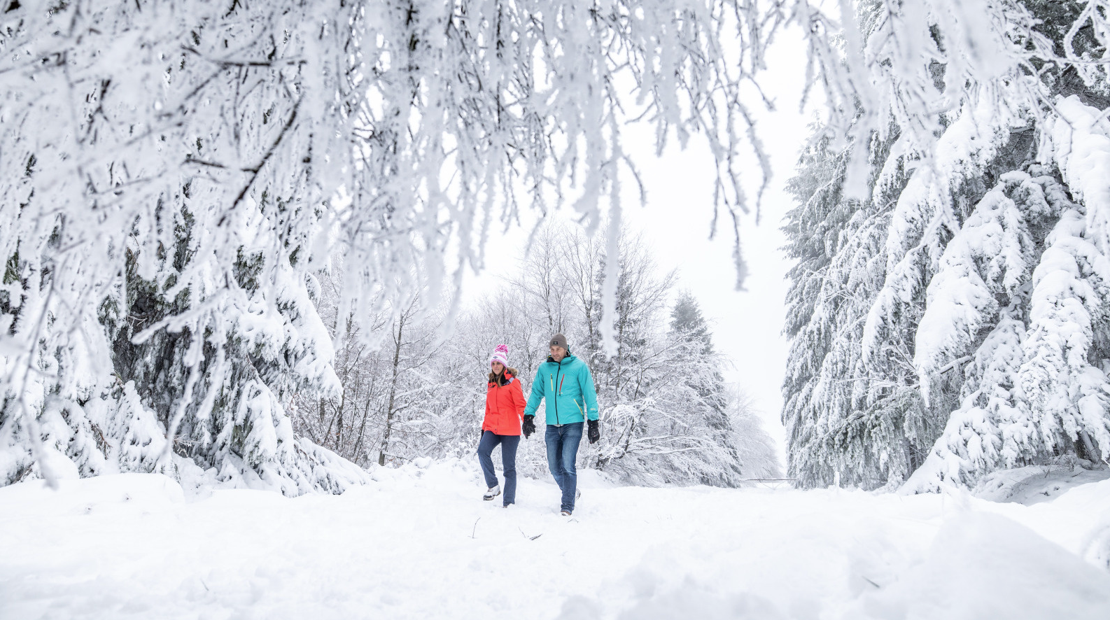
Belgian Ballads – winter hiking in the Belgian Ardennes
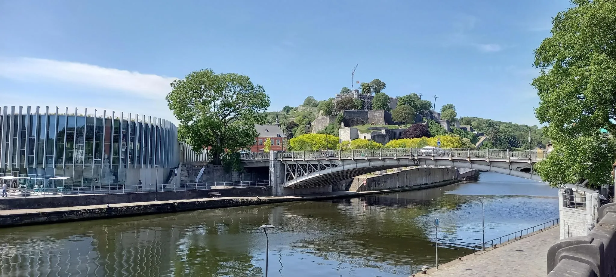
EuroVelo 3 — The adventure in the heart of Belgium
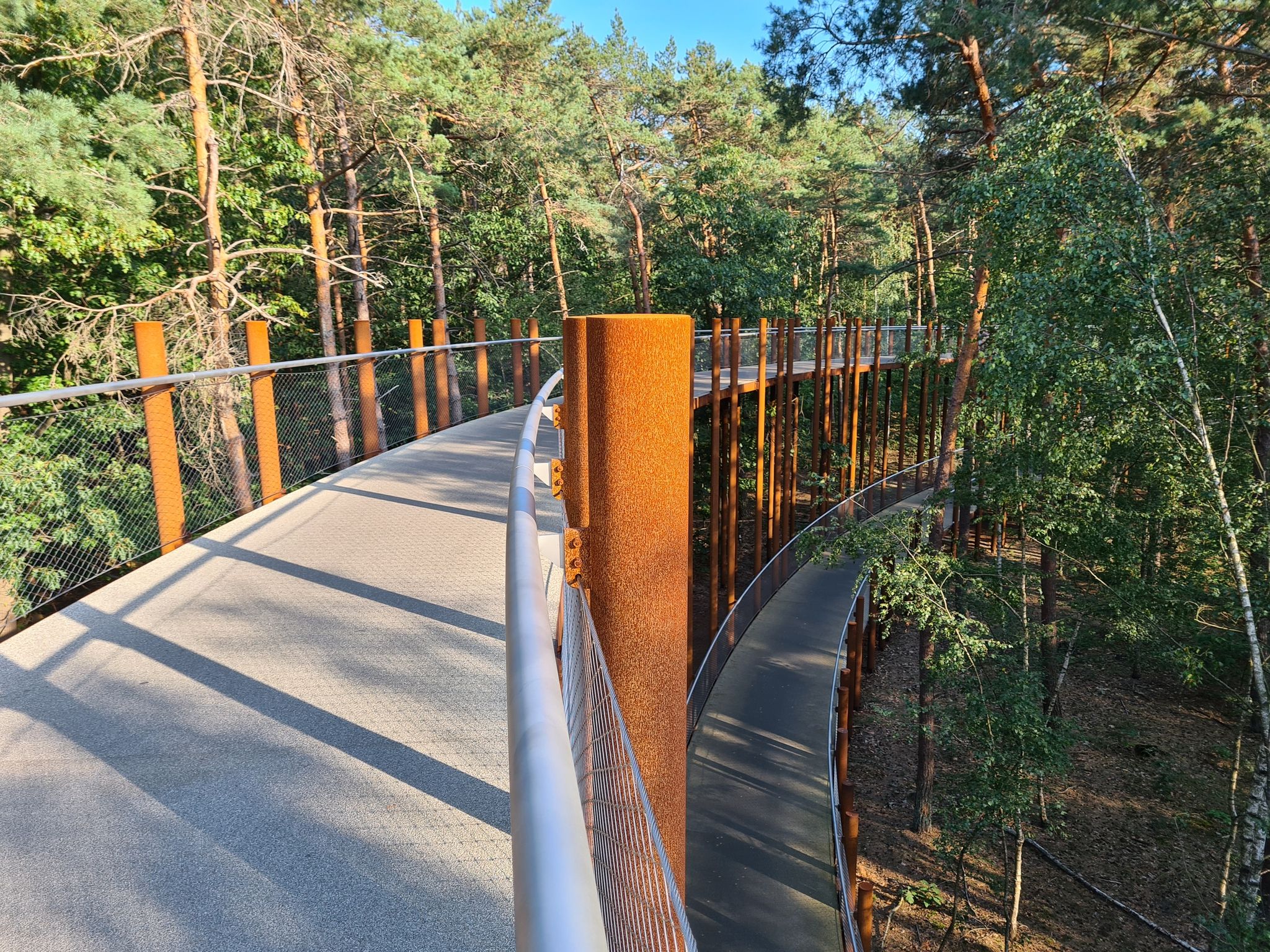
Cycling on Belgium’s most beautiful bike paths — 10 boucles à vélo
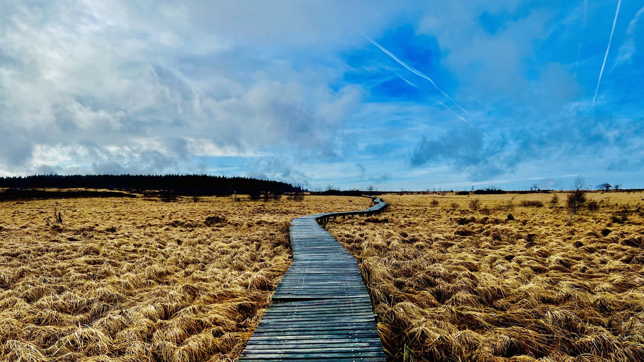
Belgische Balladen - charmante Kurzwanderungen in den belgischen Ardennen
Other adventures around Charleroi


Tips from the Community

From the bridge with an arch, a village view for the eye...
0
0

Already 2 times with friends 👌👌👌 very beautiful hike to do 👍☀️👍
0
0

A charming 19th-century pedestrian tunnel, originally part of the old "sentier de l'Hayette-Robinette" that ran through the Château de la Folie estate around 1859. When the path was moved outside the castle walls, the tunnel was created, later given the romantic name "Tunnel des Amoureux" by Marcel Tricot, the founder of the Goûter Matrimonial.
5
0


A lovely walk from station to station, alternating between the Sambre River, fields, and forests. Plenty of shade on a hot day.
1
0

paths partly inaccessible to strollers and young children
2
0
The panoramas are worth it but are superb
1
0
Frequently Asked Questions
How many bus station hiking trails are available around Charleroi?
There are over 460 hiking trails accessible from bus stations around Charleroi. These routes cater to various skill levels, with more than 200 easy and 200 moderate options available.
What kind of landscapes can I expect on bus-accessible hikes near Charleroi?
The region offers a unique blend of landscapes. You can explore reclaimed industrial slag heaps (terrils) offering panoramic views, tranquil paths along the River Sambre, and surprisingly dense forests. The area also provides access to the vast National Park of Entre-Sambre-et-Meuse, known for its rich biodiversity.
Are there any easy bus-accessible hikes suitable for beginners near Charleroi?
Yes, many easy routes are accessible by bus. For a gentle introduction, consider the route from Charleroi to Marchienne-au-Pont, which is just over 3.5 km. Another easy option is the Aulne Abbey – Aulne Abbey Ruins loop from Montigny-le-Tilleul, offering a pleasant 5.9 km walk.
Can I find circular hiking routes accessible by bus from Charleroi?
Yes, there are several circular routes designed for convenience. For example, the Aulne Abbey – Aulne Abbey Ruins loop from Montigny-le-Tilleul is an easy circular hike. For a more challenging option, the Aulne Abbey Ruins – Manual Lock at Aulne Abbey loop from Abbaye d'Aulne offers a longer, difficult circular trail.
Are there any family-friendly hiking trails accessible by bus in the Charleroi area?
Many of the easier routes are suitable for families. The region's urban parks like Parc de Monceau or Parc Nelson Mandela offer accessible green spaces for shorter walks. For a slightly longer adventure, the easy Charleroi to Marchienne-au-Pont trail is a good choice.
Are dogs allowed on the bus-accessible hiking trails around Charleroi?
Generally, dogs are welcome on most hiking trails in the Charleroi region, especially in natural areas and forests. However, it's always advisable to keep them on a leash, especially in nature reserves or areas with livestock, and to check specific park regulations if entering enclosed spaces.
What interesting landmarks or historical sites can I see on these bus station hikes?
The region is rich in history and unique features. You can explore the Aulne Abbey Ruins, a significant historical site. Some routes also pass by impressive castles such as La Rocq Castle or Feluy Castle. The Bois du Cazier, a UNESCO World Heritage site, combines industrial heritage with nature trails.
Are there any trails that offer good viewpoints or panoramic vistas?
Yes, the reclaimed industrial slag heaps (terrils) are a distinctive feature of the Charleroi landscape and offer excellent elevated viewpoints. Many trails, including sections of the GR 412 "Boucle Noire," traverse these terrils, providing panoramic views of the surrounding area and the surprising juxtaposition of industrial remnants and lush greenery.
What is the best time of year to go hiking from Charleroi bus stations?
Spring and autumn are particularly pleasant for hiking in Charleroi. Spring brings blooming wildflowers, especially the wild hyacinths in Parc de la Serna, while autumn offers beautiful foliage. Summer is also suitable, though some trails might be busier. Winter walks can be charming, especially in forested areas, but be mindful of potentially muddy conditions.
What do other hikers enjoy the most about hiking in Charleroi?
The komoot community highly rates the hiking experiences around Charleroi, with an average score of 4.38 stars. Reviewers often praise the unexpected natural beauty, the unique blend of industrial heritage with green spaces, and the accessibility of diverse trails from public transport hubs.
Are there any routes that follow canals or rivers?
Yes, the River Sambre flows through Charleroi, and its banks offer serene walking paths. You can also find trails along the Old Brussels–Charleroi Canal, providing flat and scenic routes. The Lovers' Tunnel – Trail along the Sennette loop from Feluy is an example of a route that follows a waterway.
Most popular routes around Charleroi
Most popular attractions around Charleroi

Get inspired with the komoot mobile app


Didn’t find what you were looking for?
Check out more Hikes throughout Charleroi below and find the perfect route in your destination.
