The best traffic-free bike rides around Ceto
4.4
(276)
3,731
riders
58
rides
No traffic touring cycling routes around Ceto are situated in the province of Brescia, Italy, offering a diverse landscape for cyclists. The region is characterized by significant elevation changes, with routes traversing mountainous and hilly terrain, including passes and scenic road cycling through the Italian Alps. Valleys and river systems, such as those near the Oglio River, provide options for more gradual inclines, while proximity to Lago d'Iseo offers picturesque rides alongside water bodies. This varied topography makes Ceto an…
Last updated: October 17, 2026
4.7
(6)
117
riders
54.6km
04:15
1,190m
1,190m
Hard bike ride. Very good fitness required. Mostly paved surfaces. Suitable for all skill levels.
52
riders
39.1km
03:32
1,130m
1,130m
Hard bike ride. Very good fitness required. Mostly paved surfaces. Suitable for all skill levels.

4.0
(1)
20
riders
24.9km
01:45
290m
290m
Moderate bike ride. Good fitness required. Mostly paved surfaces. Suitable for all skill levels.
18
riders
32.6km
03:33
1,160m
1,170m
Hard bike ride. Very good fitness required. Mostly paved surfaces. Suitable for all skill levels.
4.0
(1)
10
riders
28.7km
03:46
1,630m
1,630m
Hard bike ride. Very good fitness required. Mostly paved surfaces. Suitable for all skill levels.
Get access to more routes and recommendations from other explorers.
Already have an account?
Our route recommendations are based on thousands of hikes, rides, and runs completed by other people on komoot.
Start today with a free account
Your next adventure awaits.



Tips from the Community

By train to Edolo and then by bike up to Ponte di legno. The next day, departure in four stages to Mantua. Beautiful cycle path. Recommended
0
0

This pedestrian and cycle bridge allows you to safely cross the Oglio River while enjoying the view.
1
0

The Campelli Pass is an Alpine pass at approximately 1,892 meters above sea level that connects the Scalve Valley (province of Bergamo) with the Camonica Valley (province of Brescia). It is a popular hiking destination for its scenic beauty and the variety of available itineraries. 🏔️ Main Features Location: Between Schilpario (BG) and Cerveno (BS) Elevation: approximately 1,892 m View: Spectacular view of Cimon della Bagozza and the Piccole Dolomiti Scalvine Access: From Schilpario – Fondi: winter route for snowshoeing or ski mountaineering From Schilpario – Baracca Rossa: shorter and more scenic summer route From Ono San Pietro (BS): longer and more challenging route 🚶♂️ Recommended Activities Summer Hiking: Well-marked trails, also suitable for families Winter Snowshoeing: Safe and picturesque itineraries in the snow Mountain Biking: Technical and scenic routes, with stops at the Campione Refuge and Campelli Lake 📍 Nearby Points of Interest Campione Refuge: Not far from the pass, offers refreshments and overnight accommodations Campelli Lake Campelli: a small Alpine lake, ideal for a break Madonnina dei Campelli: a panoramic and spiritual point along the route
0
0

Nice lunge… prepared legs and agile relationships
0
0

Splendid view of Cimon Bagozza, Scalve Valley and Valcamonica
0
2

Very long and steep climb, doable by MTB, in Gravel only with adequate gears. Up to 1300m asphalt in good conditions, then up to 1550 Mella huts some holes. Up to here doable but often with slopes over 20. From the huts the ground is first paved then dirt, in the paved sections if after days of rain it is difficult to stay in the saddle. Some portage sections are to be expected, but it is worth it!
2
0

Hard climb always double digits on asphalt, the last 4km on cobblestones and grass Agile gear ratios 😉
1
0

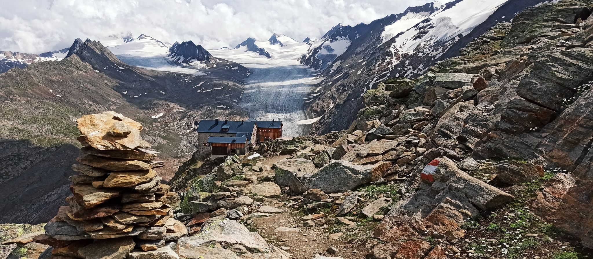
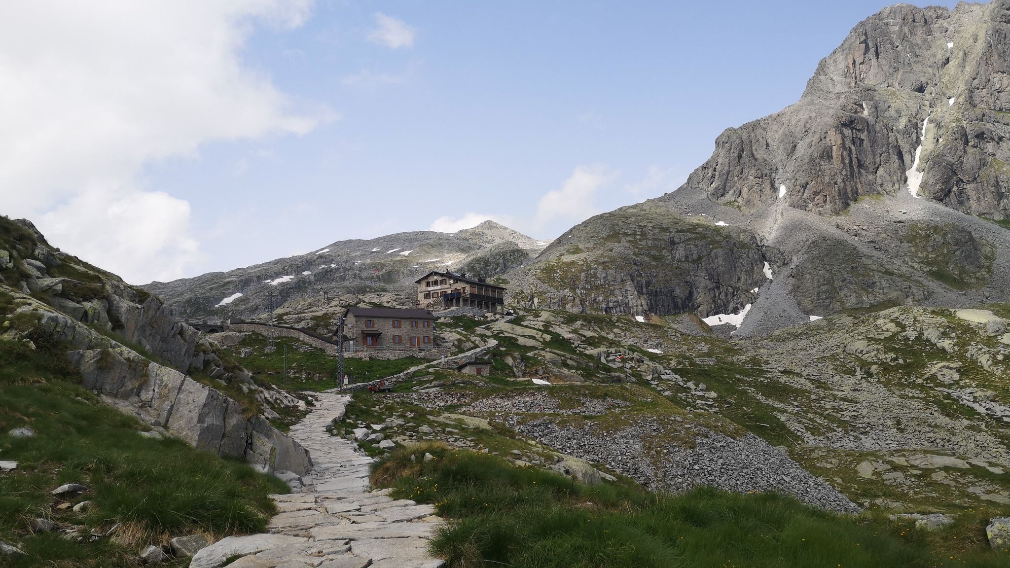
The refuge is located at 1940m, on the border between Val Camonica and Val di Scalve. Amazing cuisine with typical dishes and homemade desserts.
0
0
Frequently Asked Questions
How many no-traffic touring cycling routes are available around Ceto?
Ceto and its surrounding areas offer a significant number of routes designed for touring cyclists seeking quiet paths. There are nearly 50 no-traffic touring cycling routes available, with a good mix of moderate and challenging options.
What is the best time of year to enjoy no-traffic touring cycling in Ceto?
The mountainous and hilly terrain around Ceto, part of the Italian Alps, is best enjoyed during the warmer months. Late spring (May-June) and early autumn (September-October) typically offer pleasant temperatures and stable weather conditions, ideal for touring cycling without the peak summer heat or winter snow.
Are there any family-friendly no-traffic touring cycling routes in Ceto?
While many routes around Ceto are rated as difficult due to significant elevation changes, there are a few moderate options that might be suitable for families with some cycling experience. For example, the route La Concarena – View of Losine loop from Capo di Ponte is rated moderate and offers a scenic ride.
What kind of terrain can I expect on these no-traffic touring cycling routes?
The no-traffic touring cycling routes around Ceto primarily traverse mountainous and hilly terrain, offering significant elevation changes. You can expect a mix of challenging climbs and rewarding descents, often on well-paved surfaces. The region is well-suited for road cycling and bikepacking, with routes that provide breathtaking views of the Italian Alps and valleys.
Are there any circular no-traffic touring cycling routes available?
Yes, many of the no-traffic touring cycling routes around Ceto are designed as circular trips, allowing you to start and end at the same point. An example is the challenging View of Losine – Cividate-Breno Cycle Tunnel loop from Ceto - Cerveno, which offers a substantial round trip through varied landscapes.
What are some notable landmarks or viewpoints along the no-traffic touring cycling routes?
The routes often pass through scenic areas with stunning vistas. While specific viewpoints vary by route, you can find attractions like the Campelli Pass and Passo Crocedomini, offering panoramic views. Some routes also lead near mountain huts like Campione Hut, which can serve as scenic rest stops.
Where can I find parking for these no-traffic touring cycling routes?
Parking availability varies by the specific starting point of each route. Many routes begin in or near towns like Ceto, Capo di Ponte, or Cimbergo, where public parking options are generally available. It's advisable to check the route details on komoot for specific parking recommendations at the trailhead.
What do other touring cyclists enjoy most about the no-traffic routes around Ceto?
The komoot community highly rates the touring cycling experience around Ceto, with an average score of 4.4 stars. Cyclists frequently praise the challenging yet rewarding climbs, the stunning alpine scenery, and the quiet, traffic-free nature of the routes, which allows for an immersive outdoor experience.
Are there any cafes or accommodation options along the no-traffic touring cycling routes?
While the routes themselves are designed to be traffic-free, they often connect to or pass near villages and towns where you can find cafes, restaurants, and accommodation. Mountain huts, such as Colombé Hut, also offer opportunities for refreshments or overnight stays, particularly on longer or multi-day tours.
Can I use public transport to access the starting points of these routes with my bike?
Public transport options for accessing routes with bikes in the Ceto region can be limited, especially for more remote starting points. While some regional buses or trains might accommodate bikes, it's best to verify specific services and bike policies with local transport providers in advance. Many cyclists choose to drive to a convenient starting point and utilize the circular nature of many routes.
What is the typical difficulty level of no-traffic touring cycling routes in Ceto?
Most no-traffic touring cycling routes around Ceto are rated as difficult, with a significant number requiring good to very good fitness. These routes often involve substantial elevation gains, such as the Monte di Cerveno – View of Losine loop from Capo di Ponte which features over 1100 meters of ascent. There are also some moderate options available for those seeking less strenuous rides.
Most popular attractions around Ceto

Get inspired with the komoot mobile app


Explore more
Browse the best Cycling routes in other regions.
