The best hikes from bus stations in Estrecho
4.5
(2236)
15,544
hikers
52
hikes
Bus station hiking trails in Estrecho traverse a diverse landscape where the Atlantic Ocean meets the Mediterranean Sea. The region features a mix of coastal habitats, including sand dunes and cliff formations, alongside cork oak woodlands and Mediterranean scrubland. This unique geographical position creates varied terrain for outdoor activities, shaped by strong winds and significant biodiversity.
Best bus station hiking trails in Estrecho
- The most popular bus station hiking route is Betijuelo – Punta Paloma Beach loop from Camping Paloma…
Last updated: June 30, 2026
4.5
(53)
182
hikers
10.0km
03:02
320m
320m
Moderate hike. Good fitness required. Easily-accessible paths. Suitable for all skill levels.
4.5
(21)
78
hikers
10.8km
03:05
250m
250m
Moderate hike. Good fitness required. Easily-accessible paths. Suitable for all skill levels.

Sign up for free
4.5
(15)
55
hikers
Easy hike. Great for any fitness level. Easily-accessible paths. Suitable for all skill levels.
4.5
(15)
86
hikers
12.1km
03:16
150m
150m
Moderate hike. Good fitness required. Easily-accessible paths. Suitable for all skill levels.
4.4
(13)
65
hikers
21.1km
05:20
30m
30m
Hard hike. Very good fitness required. Easily-accessible paths. Suitable for all skill levels.
Get access to more routes and recommendations from other explorers.
Sign up for free
Already have an account?
Our route recommendations are based on thousands of hikes, rides, and runs completed by other people on komoot.
Start today with a free account
Your next adventure awaits.
Login or Signup
Popular around Estrecho
Other adventures in Estrecho

Tips from the Community

It's always windy here.
0
0

Tarifa is a beautiful place at the southernmost tip of Europe, known for: • The stunning beaches like Playa de la Miramar and Playa de los Lances • The historic old town with its narrow streets and whitewashed houses • The 10th-century Tarifa fortress overlooking Morocco • The best surf and kitesurf spots in Europe
3
0
Tarifa is a beautiful place at the southernmost tip of Europe, known for: • The stunning beaches like Playa de la Miramar and Playa de los Lances • The historic old town with its narrow streets and whitewashed houses • The 10th-century Tarifa fortress overlooking Morocco • The best surf and kitesurf spots in Europe
2
0
Tarifa is a beautiful place at the southernmost tip of Europe, known for: • The stunning beaches like Playa de la Miramar and Playa de los Lances • The historic old town with its narrow streets and whitewashed houses • The 10th-century Tarifa fortress overlooking Morocco • The best surf and kitesurf spots in Europe
1
0

The spot where you can be at the Mediterranean sea and the Atlantic ocean at the same time. with strong Eastern wind you have the big air kiting spot on the Mediterranean side. A Dutch rider jumped with his kite from the Atlantic to the Mediterranean side over the road/wall
1
0

The writing on the wall has since been painted over in white. Access to the dune and the dune itself are located in a military restricted area. However, the area here is not fenced and access to the dune and further to the beach is possible without any problems. There is only a sign indicating that access may be restricted at any time.
0
0
A wooden walkway leads to this viewpoint from the southeast. It begins at Playa de Bolonia, near the Baelo Claudia archaeological site, and is approximately 430 meters long. If you want to continue through the restricted military area uphill to the road or the dune, you have to climb over the railing. The restricted area is not fenced here, but there are signs indicating that the passage may be closed at any time.
0
0

Frequently Asked Questions
How many bus station hiking trails are available in Estrecho?
There are nearly 50 hiking routes in the Estrecho Natural Park that are easily accessible from bus stations. These routes offer a variety of experiences, with 15 easy, 23 moderate, and 9 difficult trails to choose from.
What kind of landscapes can I expect on bus-accessible hikes in Estrecho?
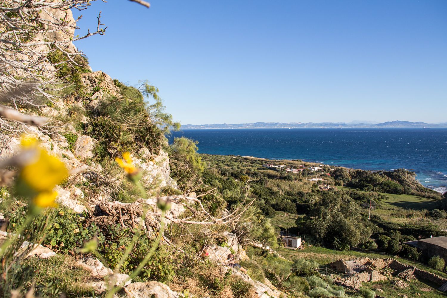
The trails accessible from bus stations in Estrecho showcase the park's unique diversity. You'll find coastal paths with views of the Strait of Gibraltar, mobile sand dunes like the impressive Bolonia Dune, and expansive beaches. Inland, routes often traverse cork oak woodlands, coastal pine groves, and Mediterranean scrubland, offering a rich blend of ecosystems.
Are there any easy, family-friendly hikes from bus stations in Estrecho?
Yes, Estrecho offers several easy routes suitable for families. For instance, the View of Playa de Valdevaqueros – Scenic viewpoint loop from Torre de la Peña is an easy 6.5 km hike, perfect for a leisurely outing. Another option is the Buddha Cave loop from Torre de la Peña, which is just under 5 km and also rated easy.
What historical or natural landmarks can I see along these bus station trails?
Many trails offer access to significant landmarks. You can explore the ancient Roman city of Baelo Claudia Archaeological Site, a National Historic Monument, or witness the dramatic Bolonia Dune. Coastal routes might lead you past the Guadalmesi Watchtower or offer views of the Meeting Point of the Atlantic Ocean and Mediterranean Sea near Tarifa.
What do other hikers enjoy most about hiking in Estrecho?
The Estrecho Natural Park is highly rated by the komoot community, with an average score of 4.5 stars from over 2,100 reviews. Hikers frequently praise the stunning coastal views, the unique blend of Atlantic and Mediterranean landscapes, and the rich historical sites found along the trails. The opportunity for birdwatching, especially during migration seasons, is also a highlight for many.
Are there any circular routes accessible from bus stations?
Yes, several circular routes are available. For example, the Betijuelo – Punta Paloma Beach loop from Camping Paloma offers a moderate 10 km circular hike with diverse scenery. Another option is the Gravel route – Camarinal Lighthouse loop from Baelo Claudia, which is also a moderate 10.8 km loop.
Can I bring my dog on the hiking trails in Estrecho Natural Park?
El Estrecho Natural Park generally welcomes dogs, but it's crucial to keep them on a leash to protect wildlife and respect other hikers. Always check specific trail regulations or local signage, especially in protected bird nesting areas or near sensitive ecosystems. Remember to carry water for your dog and clean up after them.
What is the best time of year to hike in Estrecho?
The best time to hike in Estrecho is typically during spring (March to May) and autumn (September to November). During these seasons, temperatures are milder, and the natural landscape is vibrant. Spring brings blooming wildflowers, while autumn offers spectacular bird migration. Summer can be very hot, especially on exposed coastal trails, and winter can bring strong winds (Levante and Poniente), though hiking is still possible on calmer days.
Are there any trails that offer views of both the Atlantic and Mediterranean?
Due to its unique geographical position, many coastal trails in El Estrecho offer panoramic views where you can distinctly see the convergence of the Atlantic Ocean and the Mediterranean Sea. The area around Tarifa, particularly near Isla de Las Palomas, provides excellent vantage points for this phenomenon.
Are there any beaches accessible via bus station hikes for a post-hike dip?
Absolutely! Several routes lead to or pass by beautiful beaches. The Playa de Paloma loop from Baelo Claudia, for instance, takes you near Punta Paloma Beach, known for its stunning sands and clear waters. Playa de Bolonia and Playa de Valdevaqueros are also popular and often accessible from trails, perfect for a refreshing dip after your hike.
Are there any permits required for hiking in El Estrecho Natural Park?
Generally, no specific permits are required for hiking on the established trails within El Estrecho Natural Park. However, certain activities or access to very specific, sensitive areas might require prior authorization. It's always a good idea to check with the park's visitor center for the most up-to-date information, especially if you plan to deviate from marked paths or engage in specialized activities.
Most popular routes in Estrecho
Most popular attractions in Estrecho

Get inspired with the komoot mobile app


Explore more
Browse the best Hikes in other regions.
