The best hikes from bus stations in Sierra Nevada
4.5
(7915)
37,544
hikers
89
hikes
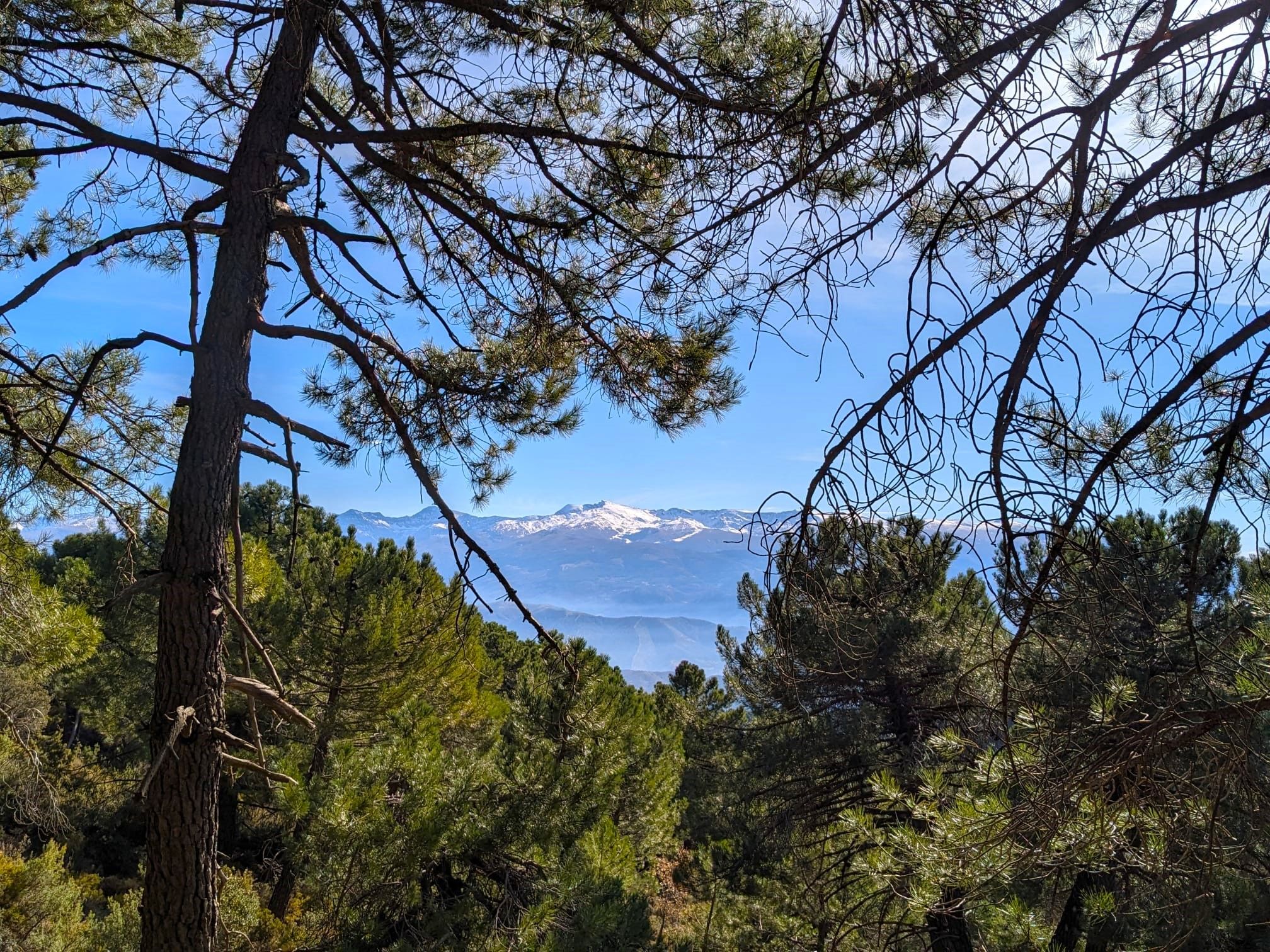
Bus station hiking trails in Sierra Nevada offer access to a diverse landscape characterized by towering granite peaks, serene alpine lakes, and dense forests. The region features dramatic granite cliffs, high-altitude plateaus, and deep river valleys. Hikers can explore ancient giant sequoia groves and varied ecosystems ranging from pine forests to vibrant meadows. The terrain provides a range of elevations, from challenging mountain ascents to more gentle paths through valleys.
Best bus station hiking trails in Sierra Nevada
- The most popular bus station hiking route is Las Cebadillas and Central Hidraúlica de Poqueira – circular from Capileira, a 5.4 miles (8.7 km) trail that takes 2 hours 47 minutes to complete. This moderate circular route explores the Poqueira Gorge, offering views of the hydroelectric plant and surrounding landscapes.
- Another top favourite among local hikers is Hoya de la Mora - Lagunillos de la Virgen Trail, a moderate 7.8 miles (12.6 km) path. This trail ascends through high mountain terrain, leading to alpine lakes with expansive views of the Sierra Nevada peaks.
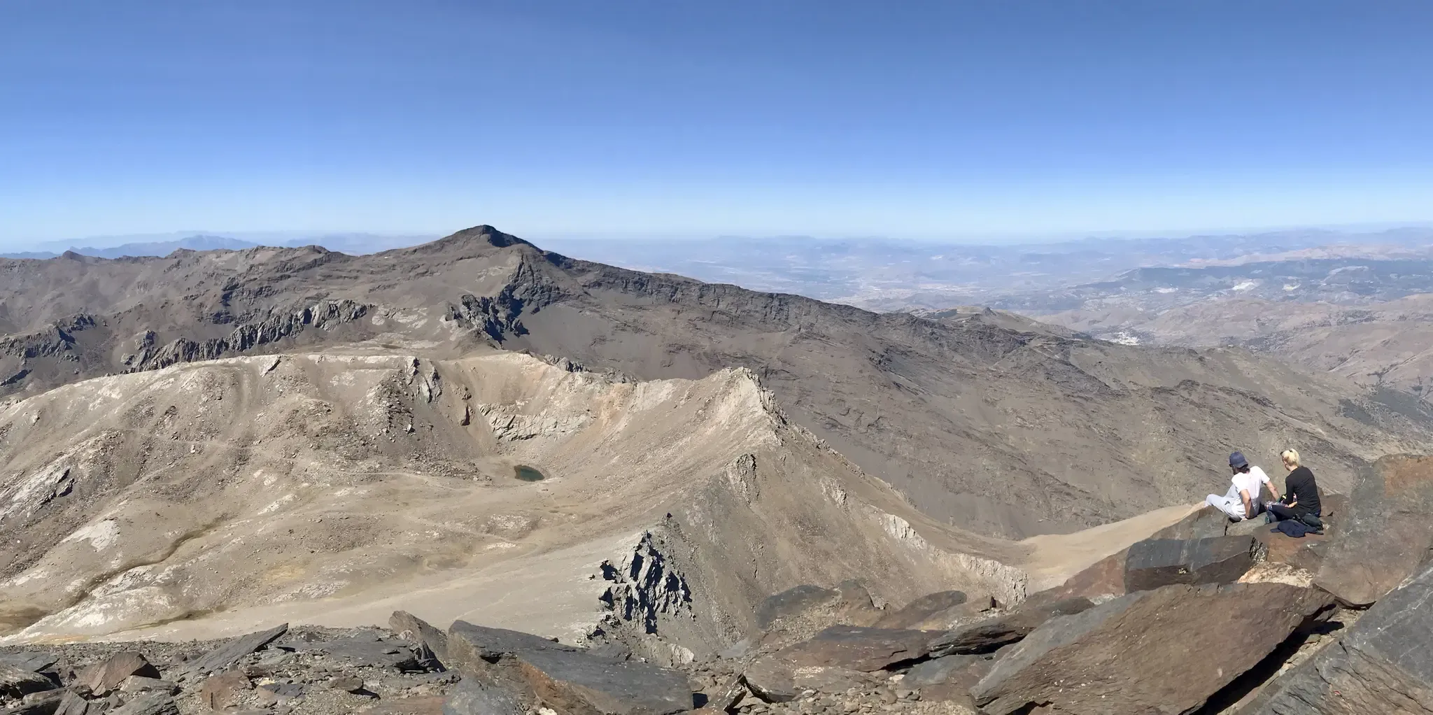
- Local hikers also love the Sierra Nevada National Park – Mulhacén Peak from Posiciones del Veleta, a 12.0 miles (19.3 km) trail leading through high alpine terrain, often completed in about 8 hours 25 minutes.
- Hiking in Sierra Nevada is defined by rugged peaks, alpine lakes, and diverse forests. The extensive network of trails offers options for various ability levels, from challenging ascents to more accessible valley walks.
- The routes in Sierra Nevada are highly rated by the komoot community with an average score of 4.6 stars from more than 2,400 reviews. More than 12,000 hikers have used komoot to explore Sierra Nevada's varied terrain.
Last updated: July 3, 2026
4.7
(211)
780
hikers
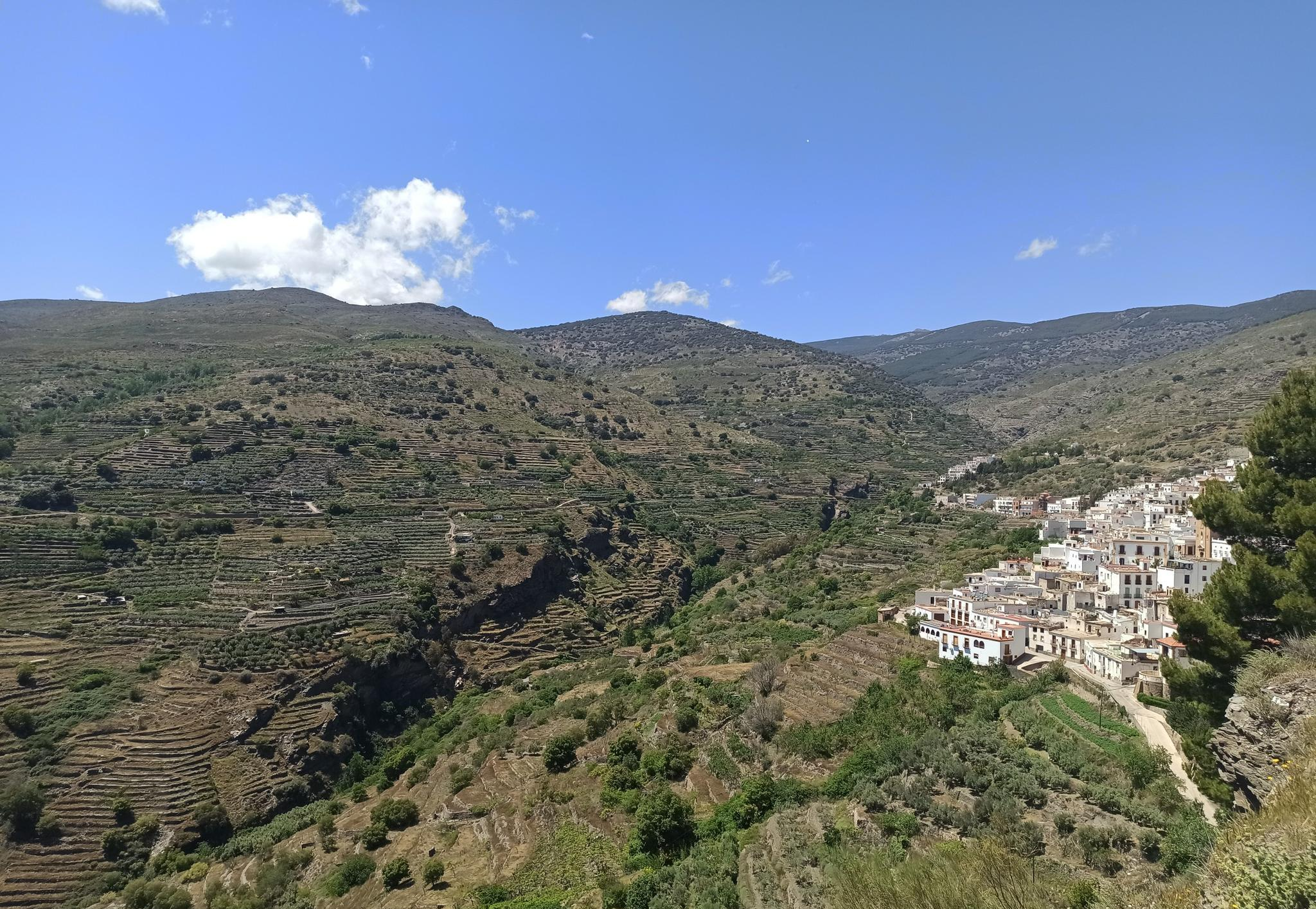
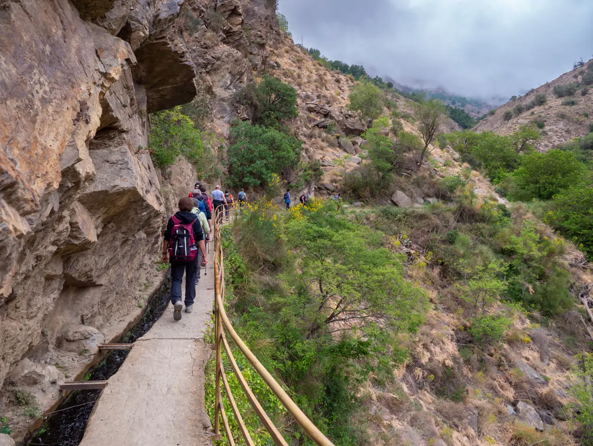
The circular route of Las Cebadillas and Poqueira Hydroelectric Plant from Capileira plunges you into the heart of the Poqueira Gorge, a landscape of historic terraces and Pyrenean oak forests. Over its 8.7 kilometers, the trail takes you along a mix of paved paths, dirt tracks, and more mountainous sections, offering panoramic views of Mulhacén and Veleta to the north, and Sierra Lújar to the south. It's an experience that combines natural beauty with the region's history, passing through the evocative 'ghost village' of La Cebadilla.
This hiking route, classified as moderate, involves an elevation gain of 325 meters and is estimated to take approximately 2 hours and 47 minutes to complete. While accessible to most hikers, be prepared for a steep and rocky initial ascent, as well as another significant climb after crossing the Poqueira river. The starting point is Capileira, where you can find parking, and it's advisable to begin the hike in the morning to enjoy the best conditions.
The trail is a window into the rich history of the Alpujarra, passing by old farmhouses (cortijos) and threshing floors (eras) that bear witness to rural life of yesteryear. The Poqueira Hydroelectric Plant, still operational, is a reminder of local engineering, while the valley itself, with its Moorish-origin villages like Capileira, Bubión, and Pampaneira, is a Historic Site. This route is perfect for those seeking a cultural and natural immersion in the Sierra Nevada without straying too far from the comforts of a village.
4.7
(68)
269
hikers
12.6km
04:58
840m
840m
The Hoya de la Mora - Lagunillos de la Virgen Trail plunges you into the heart of Sierra Nevada's high mountains, offering an unforgettable hiking experience. Along its 12.6 kilometers, with an elevation gain of 838 meters, you'll encounter diverse terrain ranging from unpaved paths to rocky sections and alpine zones, including a challenging scree descent. Panoramic views of the Sierra Nevada peaks and the Vega de Granada are constant, and the serene Lagunillos de la Virgen, nestled beneath the Tajos de la Virgen, are a truly breathtaking sight. Prepare for a moderate hike that will take approximately 4 hours and 57 minutes, ideal for those seeking a challenge and spectacular landscapes.
To plan your visit, the starting point in Hoya de la Mora is easily accessible and offers parking, and in summer, you can reach it by bus from Granada. It is essential to carry sufficient water and appropriate gear, as high mountain weather can change drastically, with strong winds and sudden storms, especially in the afternoon. I recommend starting early to enjoy the morning tranquility and avoid adverse weather conditions.
This route is highly valued as a high-altitude training ground due to its elevation, which ranges between 2500 and over 2900 meters, and its varied sections. In addition to the natural beauty of the Lagunillos de la Virgen, the route passes by the historic Monumento a la Virgen de las Nieves, adding a cultural touch to your adventure. The area is also rich in endemic flora and fauna, further enriching the experience for nature lovers.

Sign up for free
4.5
(11)
202
hikers
19.3km
08:25
1,160m
1,160m
Hard hike. Very good fitness required. Sure-footedness, sturdy shoes and alpine experience required.
4.3
(50)
177
hikers
9.16km
03:18
550m
550m
Moderate hike. Good fitness required. Easily-accessible paths. Suitable for all skill levels.
4.6
(18)
145
hikers
21.4km
09:41
1,620m
1,620m
Hard hike. Very good fitness required. Sure-footedness, sturdy shoes and alpine experience required.
Get access to more routes and recommendations from other explorers.
Sign up for free
Already have an account?
Our route recommendations are based on thousands of hikes, rides, and runs completed by other people on komoot.
Start today with a free account
Your next adventure awaits.
Login or Signup
Popular around Sierra Nevada
Among white villages - Path of the Alpujarra (GR 142)
La Vega de Granada – walks a stone's throw from the city
The gateway to the Alpujarra – five incredible routes from Lanjarón
An unforgettable adventure – climb the Mulhacén’s north face in Spain
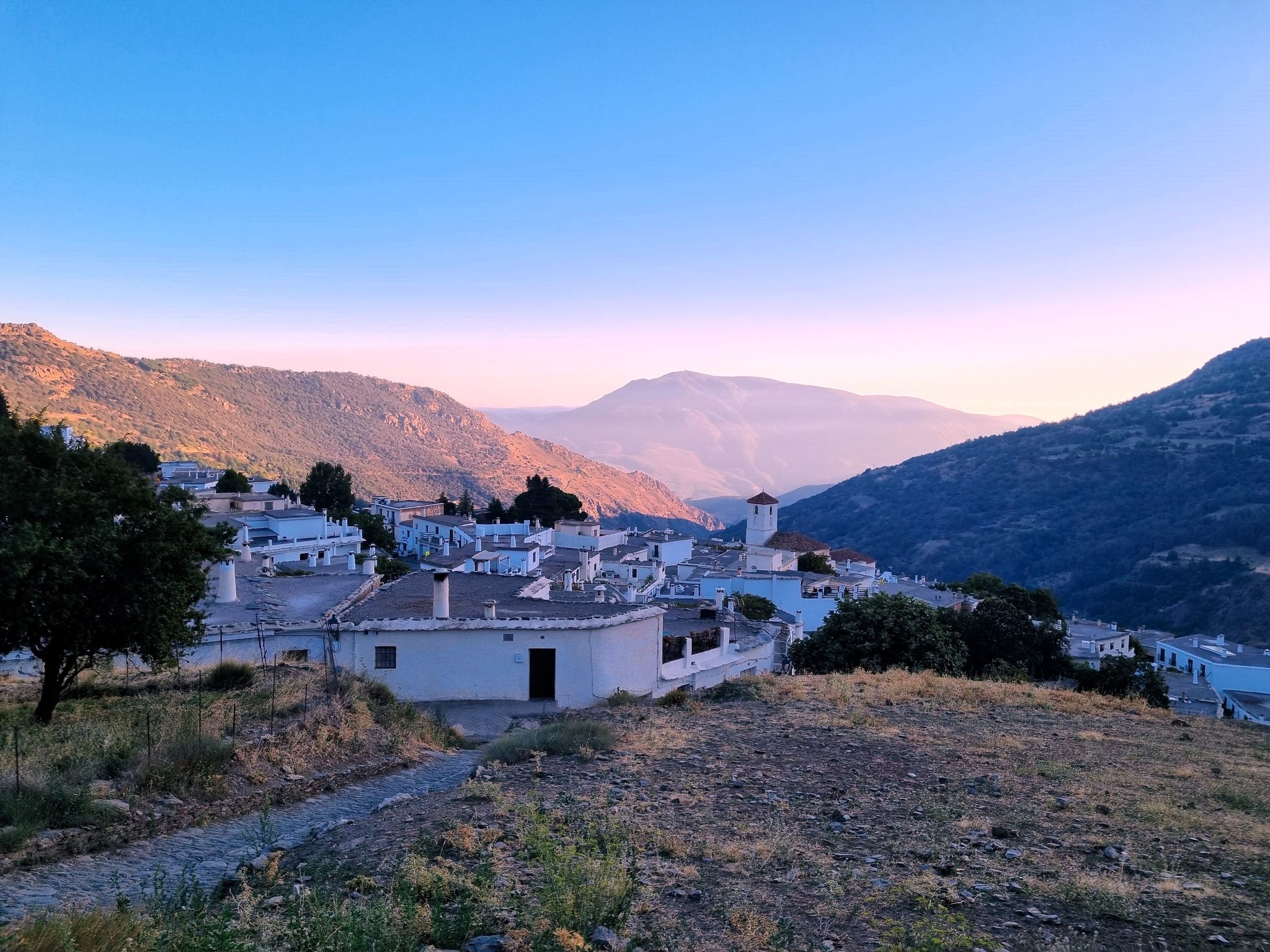
The Poqueira Gorge – two routes from Capileira in Spain
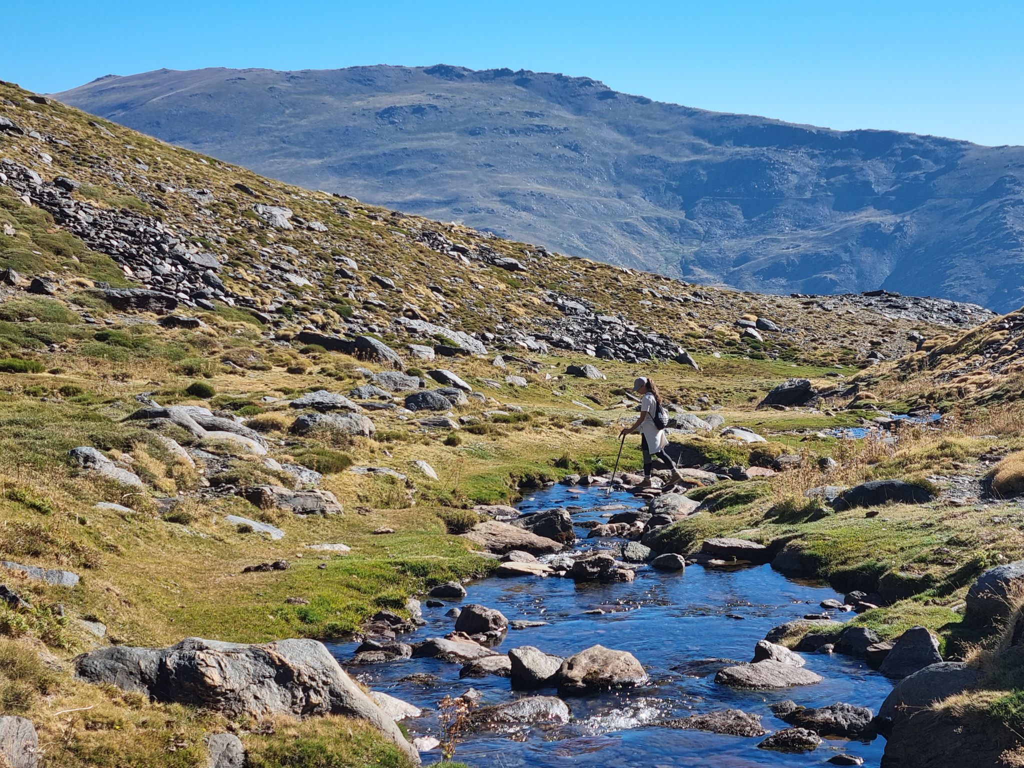
Marvellous Trevélez – the gateway to Mulhacén
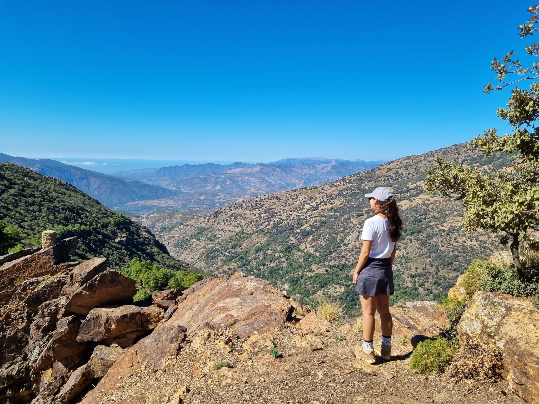
Lanjarón to Trevélez – five days in the Alpujarra of Granada

Andalusia without limits – Tarifa to La Puebla de Don Fabrique on the GR 7
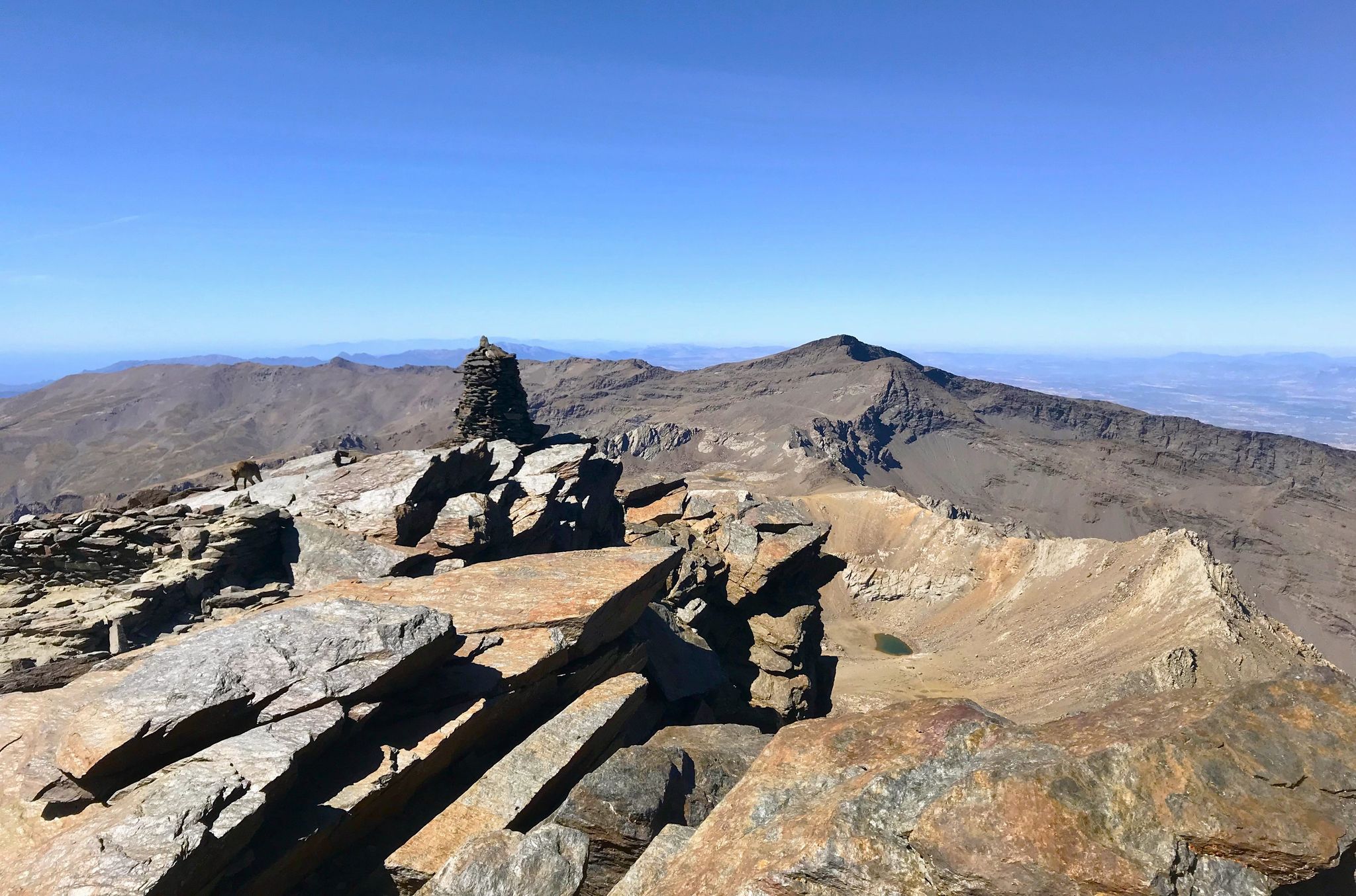
A night under the roof of the Iberian Peninsula – Mulhacén ascent
Badlands 2024 – extreme experiences and a sense of joy
Other adventures in Sierra Nevada


Tips from the Community

This hike is really tough: -very poorly signposted -inaccurate komoot navigation -long, constant ascent, 560 meters of altitude gain -during the ascent, you have to climb a section on scree, for me even on hands and knees -the descent goes for a long time over scree, loose slate, along a very narrow path next to the ravine -we took 8 hours for it..(got lost for a bit and had to turn back to find the right path again) -tip: look for the 'stone men', so you can still orient yourself now and then
0
0

No problem at all with the north way, really nice landscape; 1h30 in running
2
0

A very beautiful, expansive hiking and biking area. Also suitable for multi-day hikes with overnight stays (tent, bikepacking, etc.). Awesome views in every direction. Plenty of free parking available. A must-see for anyone in the area.
1
1

Anyone who speaks of Trevélez cannot help but talk about Serrano ham. The sign at the entrance to the town leaves no doubt that "Jamón" plays an important role here. Drying warehouses belonging to ham producers can be found everywhere. The three different quarters of the village of Trevelez are separated by an altitude difference of around 200 m. But even if strolling through the narrow, steep streets of the mountain village is a little arduous, it is still worth the effort.
1
2

Capileira is a wonderful destination to visit! This charming village is located in the Alpujarra Granadina, in the foothills of Sierra Nevada, and offers a unique blend of natural beauty and cultural heritage.
4
1

The guides' passage saves almost a kilometre and 60 metres of altitude by shortening a section of the trail. It is not difficult but is not suitable for people with vertigo.
0
0


The walk took us longer than the indicated time. Beautiful views and an abandoned village. Clockwise, the first part is more descending and climbing. Beautiful!
0
0
Frequently Asked Questions
How many hiking trails are accessible from bus stations in Sierra Nevada?
There are nearly 90 hiking trails in Sierra Nevada that you can start directly from a bus station. This includes a wide range of options, with 16 easy routes perfect for a relaxed stroll, 42 moderate trails for a good workout, and 31 difficult paths for experienced hikers seeking a challenge.
What kind of natural features can I expect to see on bus-accessible hikes in Sierra Nevada?
The Sierra Nevada is renowned for its stunning natural beauty. On bus-accessible hikes, you can expect to encounter towering granite peaks, serene alpine lakes, and dense forests. Look out for impressive viewpoints like the View of the Canales Reservoir or the majestic Pico Veleta viewpoint. Some trails might even lead you past unique geological formations or offer glimpses of the region's diverse flora and fauna.
Are there any family-friendly bus-accessible hikes in Sierra Nevada?
Yes, there are several family-friendly options. The region offers easy strolls suitable for all ages. While specific routes vary, look for trails marked as 'easy' in the guide, which often feature gentler terrain and shorter distances, making them ideal for families with children. Always check the route details for elevation and distance to ensure it suits your family's capabilities.
Can I bring my dog on these bus-accessible hiking trails?
Many trails in the Sierra Nevada are dog-friendly, but regulations can vary, especially within National Park areas. It's always best to check specific trail rules and local signage. Generally, dogs should be kept on a leash to protect wildlife and ensure the safety of other hikers. Always carry water for your dog and be prepared to pack out any waste.
What is the best time of year to go hiking from bus stations in Sierra Nevada?
The best time to hike in Sierra Nevada largely depends on the elevation and your preferred activity. Spring (April-June) offers lush greenery and wildflowers, though higher elevations may still have snow. Summer (July-September) is ideal for high-altitude trails, with warm, sunny weather. Autumn (October-November) brings stunning fall colors, especially in lower valleys. Winter (December-March) can be challenging due to snow and ice, limiting access to many trails, but offers unique opportunities for snowshoeing or winter hiking on accessible routes.
Are there any circular routes I can do from a bus station?
Yes, there are several circular routes available. For example, the Las Cebadillas and Central Hidraúlica de Poqueira – circular from Capileira is a moderate 8.6 km loop that starts and ends in Capileira, a village well-served by bus routes. Another option is the Pico Peñabón – circular from Trevélez, offering a moderate 9.1 km hike from Trevélez.
What do other hikers say about the bus-accessible trails in Sierra Nevada?
The komoot community highly rates the hiking experience in Sierra Nevada, with an average score of 4.6 out of 5 stars from over 2,400 ratings. Hikers frequently praise the diverse and striking landscapes, the well-maintained paths, and the accessibility of these trails via public transport, making it easy to explore the region's natural beauty.
Are there any challenging hikes accessible by bus for experienced hikers?
Absolutely. For experienced hikers, routes like the Sierra Nevada National Park – Mulhacén Peak from Posiciones del Veleta offer significant challenges, including substantial elevation gain and longer distances. Another demanding option is the Parque Nacional Sierra Nevada – circular to Siete Lagunas from Trevélez, which is a difficult 21.4 km route with over 1600m of ascent, leading to stunning alpine lakes.
Where can I find amenities like cafes or accommodation near bus stops for these hikes?
Many villages that serve as starting points for these hikes, such as Capileira, Trevélez, Monachil, and Güéjar Sierra, offer various amenities. You'll often find local cafes, restaurants, and accommodation options (like guesthouses or small hotels) within walking distance of the main bus stops. It's advisable to check in advance, especially during off-peak seasons, as opening hours can vary.
Are there any specific lakes or viewpoints I should look for on these trails?
Yes, the Sierra Nevada is dotted with beautiful lakes and offers incredible vistas. On some trails, you might encounter highlights like the tranquil Hondera Lagoon or the picturesque Little Lakes of the Virgin. For panoramic views, the Mulhacén Summit (the highest peak in mainland Spain) is a prime destination for those tackling more difficult routes.
Do I need any special permits for hiking in Sierra Nevada, especially from bus stations?
For most day hikes in the Sierra Nevada, including those accessible by bus, you generally do not need a special permit. However, certain areas within the Sierra Nevada National Park, especially for overnight stays or access to very sensitive zones, might require permits. Always check the specific regulations for the area you plan to visit, particularly if you intend to venture off marked trails or camp. It's also good practice to inform someone of your route and expected return time.
Most popular routes in Sierra Nevada
Most popular attractions in Sierra Nevada

Get inspired with the komoot mobile app


Explore more
Browse the best Hikes in other regions.
