The best traffic-free bike rides around Río Guadalete
4.5
(9)
146
riders
12
rides
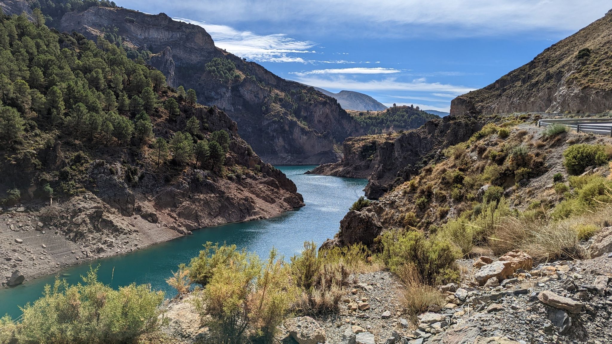
No traffic gravel bike trails around Río Guadalete offer a diverse landscape for cycling, originating in the mountainous Sierra de Grazalema Natural Park. The region features varied terrain, including vehicle-width gravel tracks, single-track trails, and the renowned Vía Verde de la Sierra, a repurposed railway line with a predominantly gravel surface. Cyclists can explore riparian ecosystems along the riverbanks and scenic reservoirs, providing a mix of natural beauty and historical elements.
Best no traffic gravel bike trails around Río Guadalete
- The most popular no traffic gravel bike trail is Zaframagón Viaduct – Vía Verde de la Sierra loop from Coripe, a 36.9 miles (59.4 km) trail that takes 3 hours 48 minutes to complete. This difficult route traverses the Vía Verde de la Sierra, passing through tunnels and viaducts.
- Another top favourite among local gravel bikers is Vía Verde de la Sierra – Zaframagón Viaduct loop from Puerto Serrano, a difficult 28.2 miles (45.4 km) path. This route offers peaceful landscapes and views of the Vía Verde de la Sierra.
- Local gravel bikers also love the Castillo Tunnel – El Chaparro de la Vega loop from Puerto Serrano, a 21.2 miles (34.1 km) trail leading through varied terrain including the Castillo Tunnel, often completed in about 2 hours 5 minutes.
- Gravel biking around Río Guadalete is defined by the Sierra de Grazalema Natural Park, the Vía Verde de la Sierra, and picturesque reservoirs. The network offers options for different ability levels, from moderate paths to more challenging routes.
- The routes in Río Guadalete are highly rated by the komoot community with an average score of 4.8 stars from more than 8 reviews. More than 100 gravel bikers have used komoot to explore Río Guadalete's varied terrain.
Last updated: October 16, 2026
4.8
(4)
76
riders
59.4km
03:49
870m
870m
Hard gravel ride. Very good fitness required. Mostly paved surfaces. Suitable for all skill levels.
4.8
(4)
17
riders
45.3km
02:45
580m
580m
Hard gravel ride. Very good fitness required. Mostly paved surfaces. Suitable for all skill levels.

4.0
(1)
17
riders
35.2km
02:10
470m
470m
Hard gravel ride. Very good fitness required. Mostly paved surfaces. Suitable for all skill levels.
4
riders
Hard gravel ride. Very good fitness required. Mostly paved surfaces. Suitable for all skill levels.
3
riders
45.5km
03:18
1,040m
1,040m
Hard gravel ride. Very good fitness required. Mostly paved surfaces. Suitable for all skill levels.
Get access to more routes and recommendations from other explorers.
Already have an account?
Our route recommendations are based on thousands of hikes, rides, and runs completed by other people on komoot.
Start today with a free account
Your next adventure awaits.

Other adventures around Río Guadalete

Tips from the Community

The Olvera Greenway is very beautiful and highly recommended for cycling. As it follows a former railway line, it doesn't have any steep slopes. Along the way, there are some old train stations that have been renovated and converted into restaurants, perfect for a stop to recharge your batteries.
0
0

A 135-meter-long viaduct, built using rectangular truncated pyramidal pilasters with mortared ashlars, is formed by the repetition of seven identical arches. It was built to span the Guadalporcún River crossing before it meets the Guadamanil River. The latter originates in the Sierra de la Lebrona mountain range in the municipality of Pruna (Seville) and flows into the Guadalporcún River just a few meters from the viaduct. The confluence of the rivers has created a wide floodplain. From this railway infrastructure, there is a privileged view of the Estrechón Canyon, a natural passage carved by the Guadalporcún River to traverse the foothills of the Zaframagón Rock. Just below, on the left bank of the Guadalporcún, we find the ruined building of what was once the Zaframagón mill. A little further west, other ruins can be seen. It is a small town built for workers on the railway line construction site.
8
0
One of the most beautiful cycle paths in Europe!
9
0
Viaduct of 237 meters long, built by means of truncated pyramidal pilasters with a rectangular plan with mortared bluestones. It consists of 9 openings, eight of which are the same, and the fourth (counting from the station) with a larger arch. It is the longest viaduct of the nature trail, built to cross the junction with the Guadalporcún River.
7
0
Viaduct of 83 meters long, built by means of truncated pyramidal pilasters with a rectangular plan with mortared bluestones. Formed by the repetition of 5 equal openings. It was designed and built to save a deep ravine dug by a tributary of the Guadalporcún River.
8
0
Railway tunnel no. 23 of the Sierra Greenway Nature Trail. Located 923 meters from the previous tunnel, it is 125 meters long and has no artificial lighting, so a flashlight is recommended. This tunnel is excavated into the side of a clay hill.
8
0
Viaduct of 65 meters long, built by means of truncated-pyramidal pilasters with a rectangular plan with mortared bluestones. Formed by the repetition of 3 equal spans. Built to save the bed of the Azar stream. Less than 100 meters away there is a small rest area from where you have a good view of the Guadalete river at the exit of the Villalón meander, at the foot of the Cerro del Castellar.
7
0
The terminus of the Vía Verde de la Sierra between Olvera (Cádiz) and Puerto Serrano, built on the old railway infrastructure between Jerez de la Frontera and Almargen, built at the beginning of the twentieth century but never used due to a collective suicide of more than 20 inhabitants, which was created by a Masonic sect. The station is currently dedicated to rural tourism.
9
0
Frequently Asked Questions
How many no-traffic gravel bike trails are available in the Río Guadalete region?
Komoot features 8 dedicated no-traffic gravel bike trails around Río Guadalete, offering a range of distances and difficulties for a peaceful cycling experience.
What kind of terrain can I expect on the no-traffic gravel trails around Río Guadalete?
You'll find a diverse landscape, from vehicle-width gravel tracks and single-track trails to forests and grassy meadows. Many sections are dry, dusty, and fast-flowing, with some rocky parts and switchbacks, especially on routes like the Zaframagón Viaduct – Vía Verde de la Sierra loop from Coripe.
Are there family-friendly no-traffic gravel routes in the area?
Yes, the region offers routes suitable for families. The Vía Verde de la Sierra, a repurposed railway line, provides a predominantly gravel surface that is generally flat and safe, making it ideal for family outings. Consider routes that utilize this greenway for a more relaxed experience.
What are some notable sights or attractions along these traffic-free gravel trails?
Many routes follow the scenic Vía Verde de la Sierra, where you can spot a large colony of Griffon Vultures. You might also pass impressive structures like the Viaducto de Los Azares or enjoy views from the Mirador de Abades. Historic sites like Puerta Matrera are also accessible near some trails.
What is the best time of year for gravel biking in Río Guadalete?
The best seasons for gravel biking in Río Guadalete are typically autumn and spring. The weather is milder, avoiding the intense heat of summer and the occasional heavy rains of winter, providing ideal conditions for exploring the trails.
Are there any circular no-traffic gravel routes?
Yes, there are several circular routes designed for gravel bikes. For example, the Vía Verde de la Sierra – Zaframagón Viaduct loop from Puerto Serrano offers a substantial circular ride, allowing you to return to your starting point without retracing your steps.
Where can I find parking for these gravel trails?
Many of the trails, especially those starting in towns like Puerto Serrano or Montellano, offer convenient parking options. For instance, the Views of the old town – Roman Saltworks of Iptuci loop from Marqués de Mérito - Complejo Deportivo starts from a sports complex which typically has parking facilities.
Are there easy no-traffic gravel routes suitable for beginners?
While many routes have moderate to difficult ratings due to distance or elevation, sections of the Vía Verde de la Sierra are relatively flat and well-maintained, making them suitable for beginners. Look for routes that primarily stick to this greenway for an easier experience.
What do other gravel bikers enjoy most about the no-traffic trails in Río Guadalete?
The area is highly rated by the komoot community, with an average score of 4.8 stars. Reviewers often praise the tranquility of the traffic-free paths, the stunning natural scenery, and the unique experience of cycling through old railway tunnels and over viaducts on the Vía Verde de la Sierra.
Can I find places to eat or drink near the gravel trails?
Yes, many of the routes pass through or near charming villages and towns such as Puerto Serrano, Olvera, and Montellano. These towns offer opportunities to find cafes, restaurants, and local shops where you can refuel and experience local culture.
Are there any advanced no-traffic gravel routes for experienced riders?
Absolutely. Routes like the Castillo Tunnel – Vía Verde de la Sierra loop from Montellano offer significant distances and elevation gains, providing a challenging yet rewarding experience for advanced gravel bikers looking for traffic-free adventures.
Can I access these gravel trails using public transport?
Access to some trailheads, particularly those in larger towns like Jerez de la Frontera or Arcos de la Frontera, may be possible via regional public transport. However, for more remote starting points, a car is often recommended for convenience. Always check local bus or train schedules in advance.
Most popular routes around Río Guadalete
Most popular attractions around Río Guadalete

Get inspired with the komoot mobile app


Explore more
Browse the best Gravel rides in other regions.
