The best hikes from bus stations in Cabo De Gata-Níjar
4.5
(2524)
10,258
hikers
53
hikes
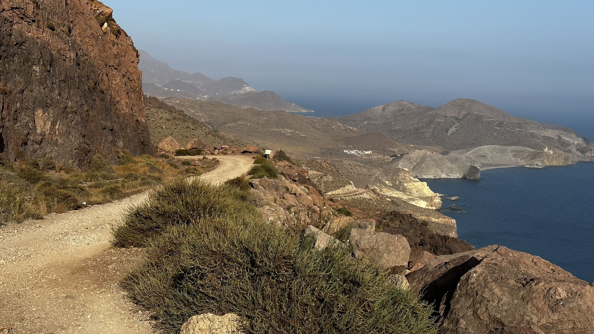
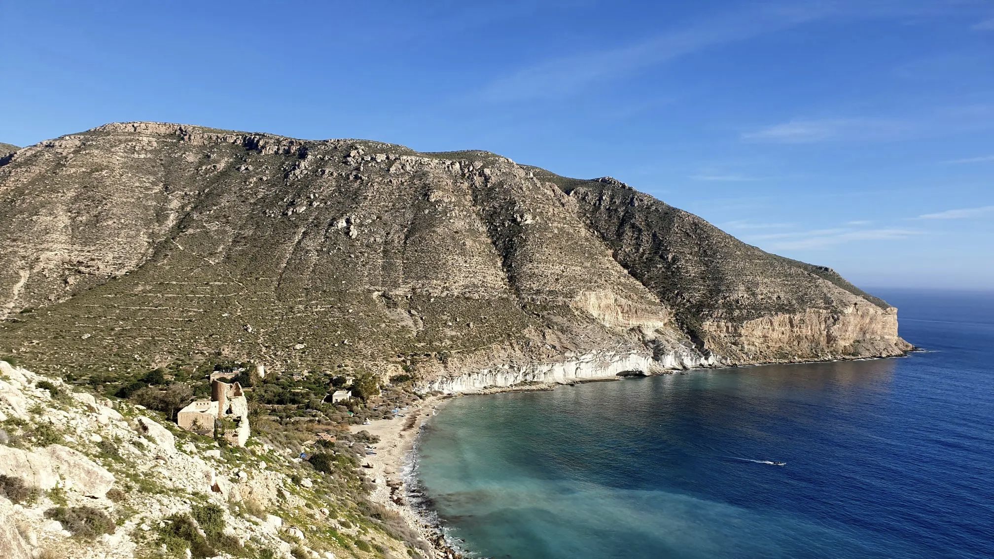
Hiking in Cabo De Gata-Níjar is defined by its volcanic landscapes, pristine coastline, and semi-desert hinterland. This UNESCO Global Geopark features ancient volcanic rock formations, jagged cliffs, and diverse geological elements like fossil dunes. The region offers a variety of trails that traverse both dramatic coastal views and arid inland hills. Salt flats near the coast also provide unique natural features.
Best bus station hiking trails in Cabo De Gata-Níjar
- The most popular bus station hiking route is Natural Park of Cabo de Gata – Castle of San Pedro from Las Negras, a 6.5 miles (10.5 km) trail that takes 3 hours 12 minutes to complete. This moderate route offers coastal views and leads to an historic castle.
- Another top favourite among local hikers is Morrón de los Genoveses Loop Trail, a moderate 5.7 miles (9.2 km) path. This trail provides panoramic views of the Genoveses beach area and surrounding arid hills.
- Local hikers also love the Senda Azul de Cabo de Gata Trail, a 10.3 miles (16.6 km) trail leading through volcanic landscapes and coves, often completed in about 4 hours 38 minutes.
- Hiking in Cabo De Gata-Níjar is defined by volcanic formations, dramatic coastlines, and semi-desert terrain. The network offers options for different ability levels, from easy strolls to more challenging routes.
- The routes in Cabo De Gata-Níjar are highly rated by the komoot community with an average score of 4.5 stars from over 2200 reviews. More than 9300 hikers have used komoot to explore Cabo De Gata-Níjar's varied terrain.
Last updated: June 29, 2026
4.6
(161)
584
hikers
10.5km
03:13
210m
210m
Moderate hike. Good fitness required. Mostly accessible paths. Sure-footedness required.
4.6
(92)
278
hikers
9.19km
02:32
130m
130m
Hike a moderate 5.7-mile circular route from San José to Morrón de los Genoveses, exploring volcanic landscapes and Playa de los Genoveses.

Sign up for free
4.6
(39)
178
hikers
16.6km
04:39
310m
310m
Hike the moderate 10.3-mile Senda Azul de Cabo de Gata Trail, exploring volcanic coastal landscapes and pristine coves.
4.6
(36)
109
hikers
9.91km
03:11
420m
420m
Moderate hike. Good fitness required. Easily-accessible paths. Suitable for all skill levels.
4.4
(14)
64
hikers
13.6km
04:03
340m
340m
Moderate hike. Good fitness required. Mostly accessible paths. Sure-footedness required.
Get access to more routes and recommendations from other explorers.
Sign up for free
Already have an account?
Our route recommendations are based on thousands of hikes, rides, and runs completed by other people on komoot.
Start today with a free account
Your next adventure awaits.
Login or Signup
Popular around Cabo De Gata-Níjar
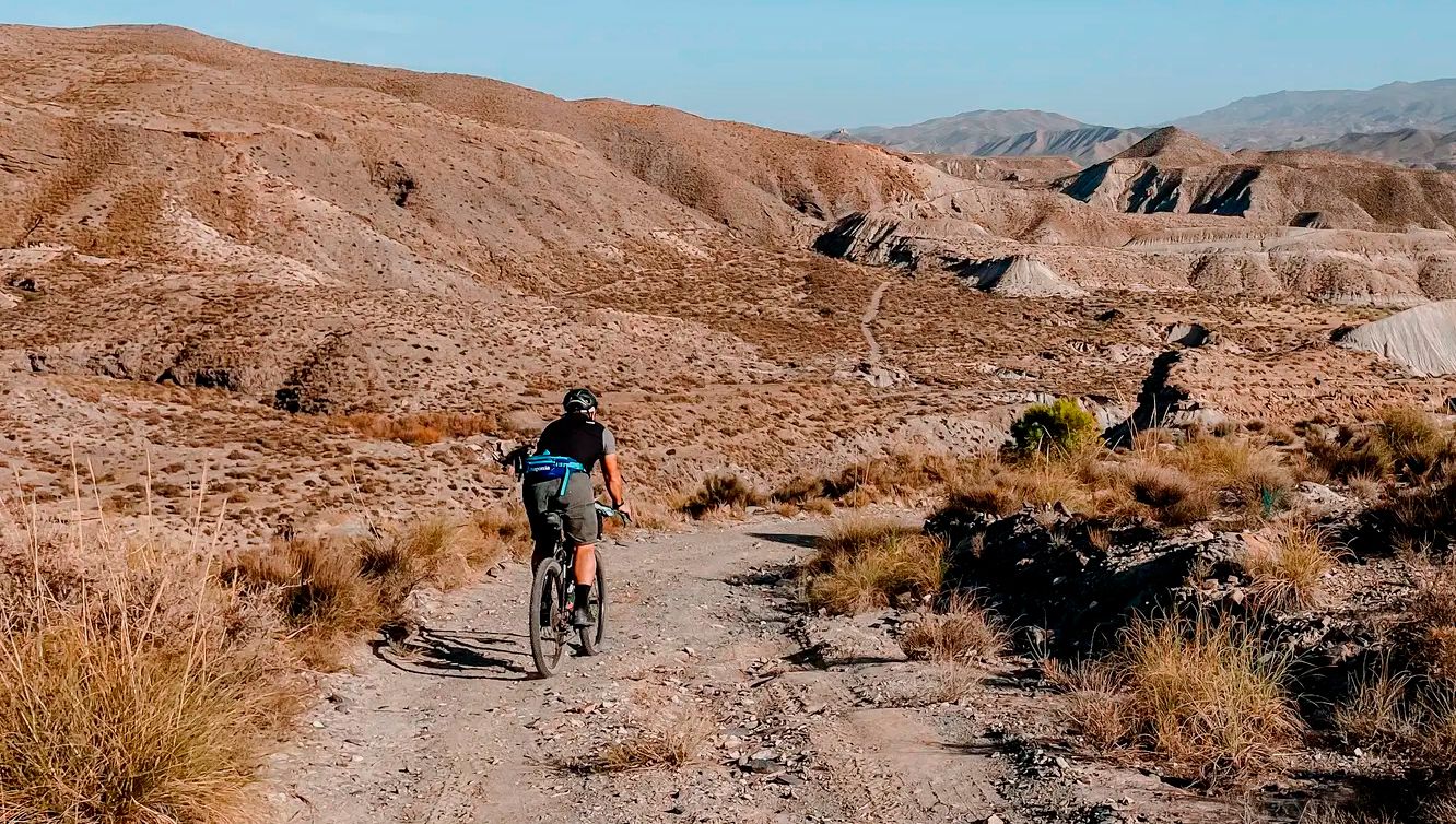
TransAlmería Gravel – Summits, dry riverbeds and deserts
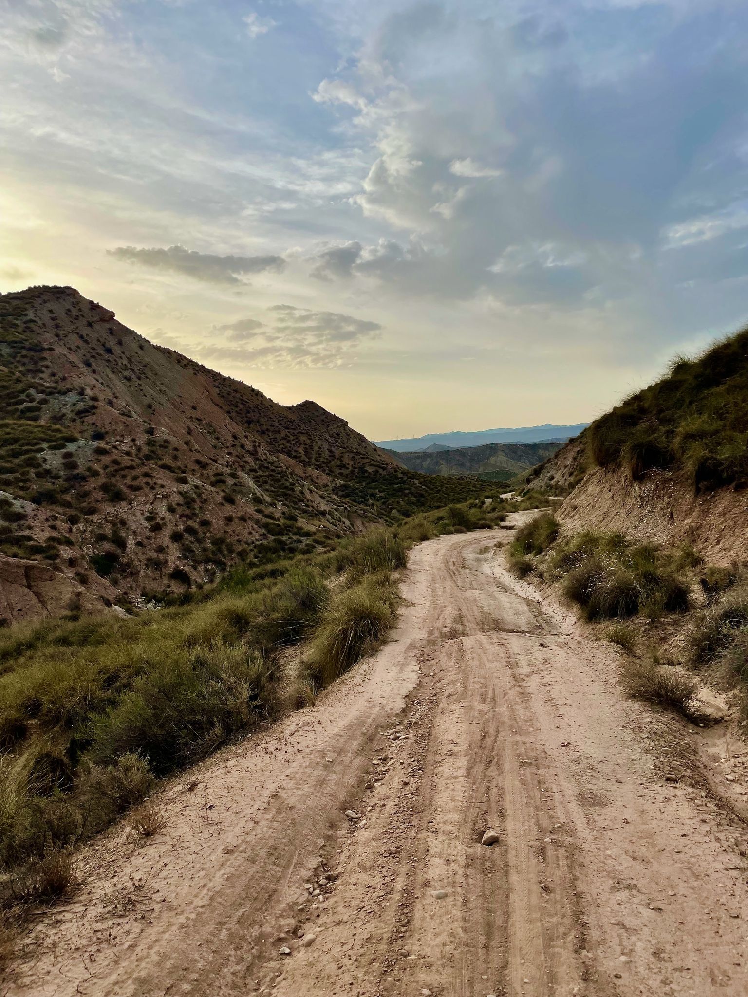
Badlands 2021 — 750km of gravel in the Spanish deserts

On the road to the sun — bikepacking to southeast Spain
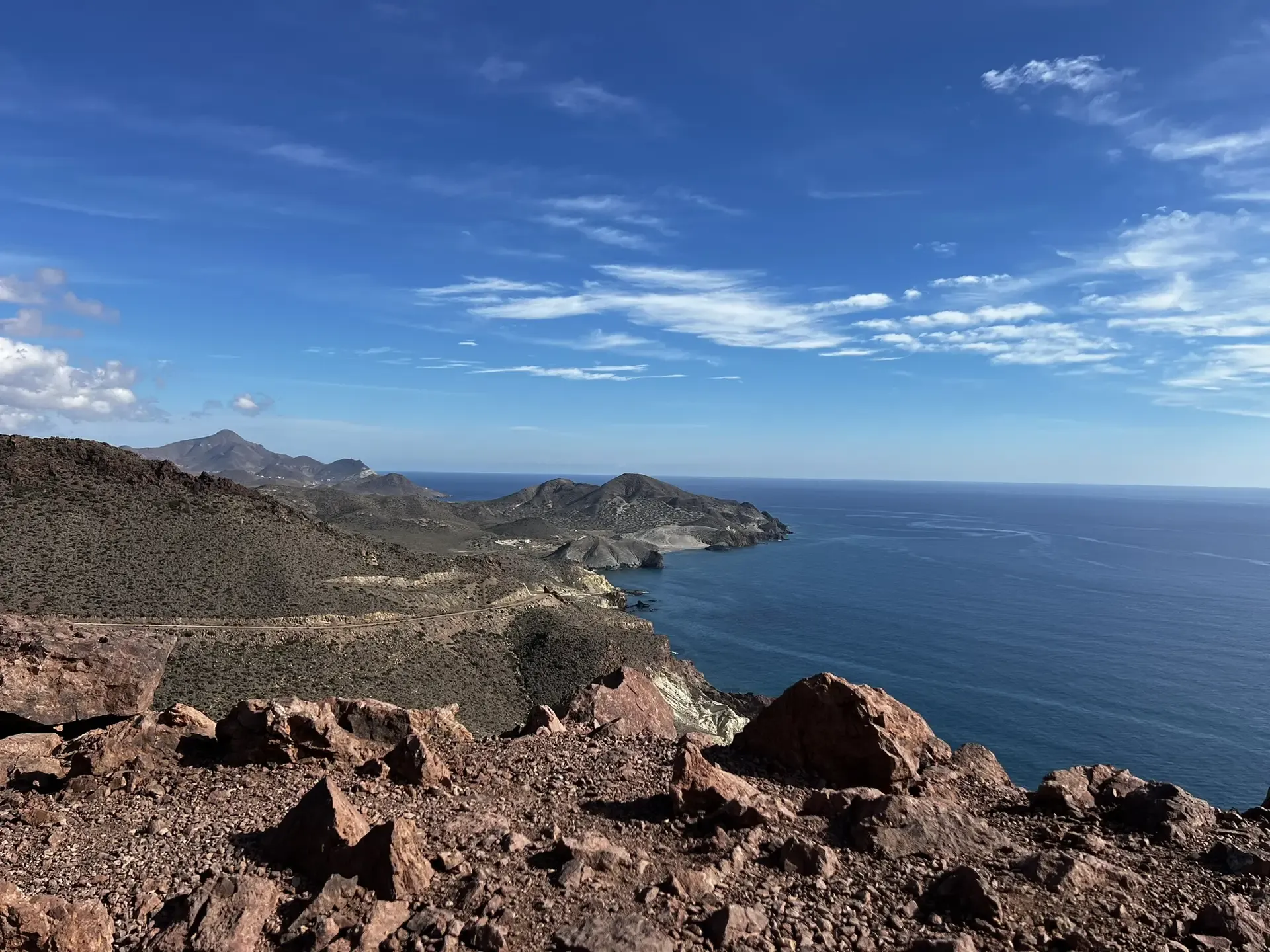
The Wild Side Of Almería — Transalmería By Mountain Bike
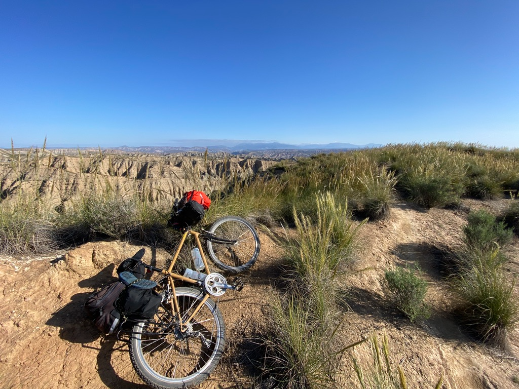
Mountain, Desert and Sea — Andalusian Trilogy
Beaches and desert – TransAlmería by MTB (El Levante)
High mountains, desert and sea – an adventure of contrasts in Andalusia
A bike ride that’s like a movie – Natural Park of Cabo de Gata-Níjar

Let’s head south – cycle in Andalusia with me and my dog

Wild and free Andalusia – Transandalus through the interior
Other adventures in Cabo De Gata-Níjar


Tips from the Community

A delight of views from here.
2
0

La Isleta del Moro is one of the most picturesque and authentic spots in the Cabo de Gata-Níjar Natural Park in Almería. This small fishing village preserves its traditional essence and offers a spectacular natural setting.
4
0
The Molino de los Genoveses, also known as the Molino del Collado de los Genoveses, is a prominent ethnographic site located in the Cabo de Gata-Níjar Natural Park, near the famous Playa de los Genoveses. This windmill was traditionally used to grind grains such as wheat, barley, and corn, reflecting the cereal-producing nature of the area. Its construction fits the typical typology of the park: a truncated cone tower made of masonry and lime, divided into three sections. It was renovated in 2007 and is now a point of interest on the Los Genoveses trail.
8
0

An interesting sight is the Torre de los Alumbres, an old watchtower from the 16th century. This tower is located on a cliff near Cala Higuera and offers breathtaking views of the sea and the coast. Can be reached via a difficult walk from San José with a very difficult climb to the torre
1
0
Playa de los Muertos is one of the most iconic beaches in the Carboneras region of Almería, Spain. It is located near the Mesa Roldán Lighthouse and is known for its natural beauty and crystal-clear waters. This beach is ideal for enjoying activities such as snorkelling, diving and hiking in the surrounding area. In addition, it offers spectacular views and is a perfect place to relax and enjoy the scenery.
7
0
The Mesa Roldán Lighthouse is a lighthouse located in the volcanic area of Mesa Roldán, near the town of Carboneras, in the province of Almería. This lighthouse is managed by the Port Authority of Almería and is part of the Cabo de Gata-Níjar Natural Park. The lighthouse is located on a volcanic plateau and offers stunning panoramic views of the natural surroundings, including Playa de los Muertos and the Sierra Cabrera. It is a popular spot for visitors looking to enjoy the nature and history of the region.
7
0

The mill is situated in a beautiful location.
12
3
The restaurants in the village are famous for the "pescaito", freshly caught by the colourful boats in the area. The beauty of the place, in the Cabo de gata-Nijar Natural Park, is undeniable.
8
1
Frequently Asked Questions
How many bus-accessible hiking trails are available in Cabo de Gata-Níjar?
There are over 40 hiking routes in Cabo de Gata-Níjar that are accessible from bus stations, offering a wide range of experiences for all skill levels.
What is the best time of year to hike from bus stations in Cabo de Gata-Níjar?
The best time for hiking in Cabo de Gata-Níjar is typically spring (March to May) and autumn (September to November). During these seasons, the weather is mild and pleasant, ideal for exploring the volcanic landscapes and coastal paths. Summer can be very hot, making early morning or late afternoon hikes preferable if visiting then.
What kind of terrain can I expect on bus-accessible hikes in Cabo de Gata-Níjar?
Hikes in Cabo de Gata-Níjar offer incredibly diverse terrain. You'll encounter ancient volcanic rock formations, dramatic coastal cliffs, pristine beaches, and semi-desert landscapes inland. Many trails provide breathtaking views of the Mediterranean Sea and unique geological features.
Are there family-friendly hiking options accessible by bus?
Yes, there are several easy routes suitable for families. These trails often feature gentle gradients and offer opportunities to enjoy the natural beauty without strenuous effort. Look for routes with shorter distances and minimal elevation gain.
Can I bring my dog on bus-accessible trails in Cabo de Gata-Níjar?
Many trails within the Cabo de Gata-Níjar Natural Park are dog-friendly, but regulations may vary, especially concerning protected areas or beaches during certain seasons. It's always best to keep your dog on a leash and ensure they are well-behaved. Check local signage or park guidelines for specific restrictions.
What natural features or landmarks can I see on bus-accessible hikes?
Many bus-accessible hikes offer stunning natural features. You can explore areas with unique volcanic formations, dramatic cliffs, and beautiful beaches like Los Genoveses Beach. Some routes also pass by significant viewpoints such as Views from the Granatilla viewpoint, offering panoramic vistas of the coastline.
Are there any historical sites or viewpoints accessible from bus stops?
Yes, you can discover several interesting sites. For example, the route Natural Park of Cabo de Gata – Castle of San Pedro from Las Negras leads to an historic castle. Other trails might bring you close to structures like the San Miguel Tower, Cabo de Gata or the Los Genoveses Mill, offering glimpses into the region's past.
What do other hikers enjoy most about the bus-accessible trails in Cabo de Gata-Níjar?
The bus-accessible trails in Cabo de Gata-Níjar are highly rated by the komoot community, with an average score of 4.48 stars from over 2200 ratings. Hikers frequently praise the stunning coastal views, the unique volcanic landscapes, and the sense of tranquility found on these routes.
Are there circular routes available from bus stops?
Yes, there are circular routes that start and end near bus stops, allowing for convenient exploration without needing to retrace your steps. An example is the Morrón de los Genoveses Loop Trail, which offers panoramic views of the Genoveses beach area.
What are some easy hiking routes accessible by bus?
Among the bus-accessible options, you'll find about 10 easy routes. These are generally shorter with less elevation gain, perfect for a relaxed walk. While specific route names vary by bus stop, many coastal paths near villages like San José or Agua Amarga offer accessible, enjoyable walks.
What are some moderate hiking routes accessible by bus?
For those seeking a bit more challenge, there are nearly 30 moderate routes accessible by bus. These trails often cover longer distances or feature more varied terrain. A good example is the Senda Azul de Cabo de Gata Trail, which navigates through volcanic landscapes and coves.
Where can I find amenities like cafes or restaurants near bus stops for hikers?
Villages like San José and Agua Amarga, which serve as key bus stops, offer a range of amenities. You'll find cafes, restaurants, and small shops where you can refuel before or after your hike. These villages are well-equipped to cater to visitors.
How can I find out which bus routes serve specific trailheads?
Information on bus routes and their stops, particularly those connecting to trailheads, can usually be found on the local public transport websites or at the main bus stations in larger towns like Almería. Look for routes serving key villages within the Natural Park such as San José, Agua Amarga, or Las Negras, as these are common starting points for many trails.
Most popular routes in Cabo De Gata-Níjar
Most popular attractions in Cabo De Gata-Níjar

Get inspired with the komoot mobile app


Explore more
Browse the best Hikes in other regions.
