The best hikes from bus stations in North Arran
4.6
(711)
5,675
hikers
48
hikes
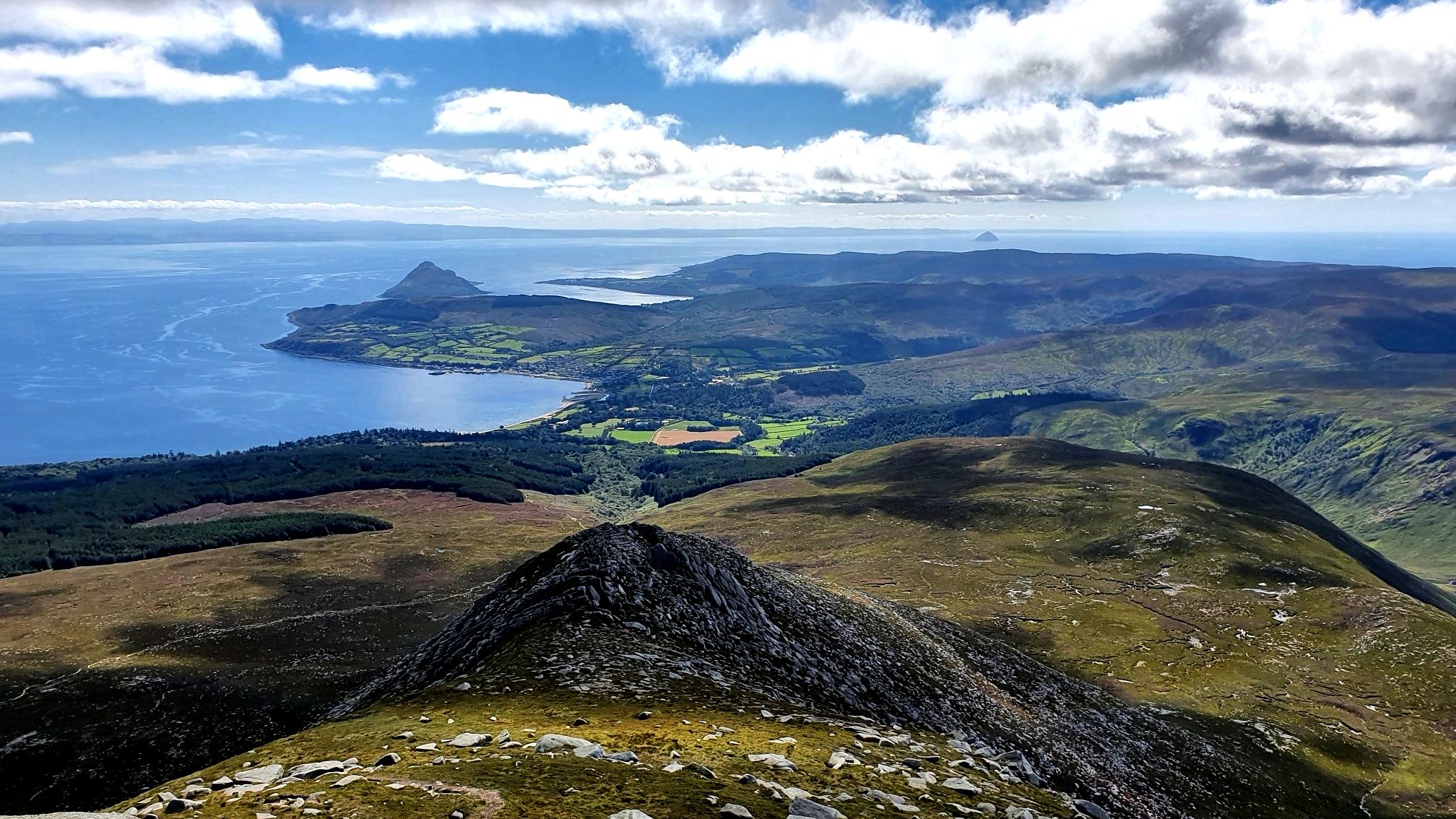
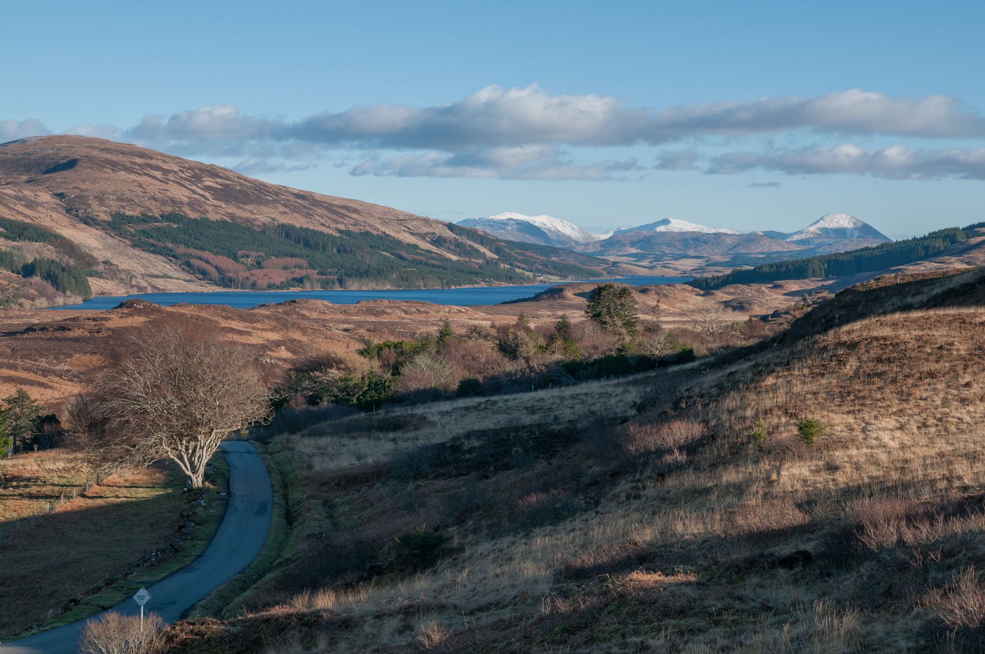
Bus station hiking trails in North Arran offer access to a diverse landscape of rugged mountains, extensive moorlands, and tranquil glens. The region is characterized by granite peaks, including the prominent Goatfell, and deep U-shaped valleys like Glen Rosa. Hikers can explore dramatic coastlines, ancient woodlands, and areas of significant geological interest, all accessible via public transport.
Best bus station hiking trails in North Arran
- The most popular bus station hiking route is Arran Coastal Way: Lochranza Loop, a 7.8 miles (12.6 km) trail that takes 3 hours 40 minutes to complete. This moderate route explores the northern coastline and offers views of Lochranza Castle.
- Another top favourite among local hikers is Goatfell and North Goatfell Loop from Corrie, a difficult 7.8 miles (12.5 km) path. This challenging ascent provides panoramic views from Arran's highest peak and its northern neighbour.
- Local hikers also love the Cladach to Waterfall in Glen Rosa loop — Isle of Arran, a 5.1 miles (8.1 km) trail leading through the scenic Glen Rosa, often completed in about 2 hours 15 minutes.
- Hiking in North Arran is defined by rugged mountain ascents, scenic glen walks, and coastal paths, offering a wide range of experiences. The network provides options for various ability levels, from moderate valley routes to difficult mountain challenges.
- The routes in North Arran are highly rated by the komoot community with an average score of 4.6 stars from over 600 reviews. More than 5000 hikers have used komoot to explore North Arran's varied terrain.
Last updated: June 29, 2026
4.8
(40)
246
hikers
12.6km
03:40
310m
310m
Moderate hike. Good fitness required. Mostly accessible paths. Sure-footedness required.
4.7
(14)
109
hikers
12.5km
05:26
1,160m
1,160m
Hard hike. Very good fitness required. Easily-accessible paths. Suitable for all skill levels.

Sign up for free
4.2
(6)
66
hikers
16.9km
05:02
500m
500m
Hard hike. Very good fitness required. Easily-accessible paths. Suitable for all skill levels.
4.8
(5)
54
hikers
8.80km
03:48
810m
810m
Moderate hike. Good fitness required. Easily-accessible paths. Suitable for all skill levels.
4.0
(2)
35
hikers
8.14km
02:16
150m
150m
Moderate hike. Good fitness required. Easily-accessible paths. Suitable for all skill levels.
Get access to more routes and recommendations from other explorers.
Sign up for free
Already have an account?
Our route recommendations are based on thousands of hikes, rides, and runs completed by other people on komoot.
Start today with a free account
Your next adventure awaits.
Login or Signup



Tips from the Community

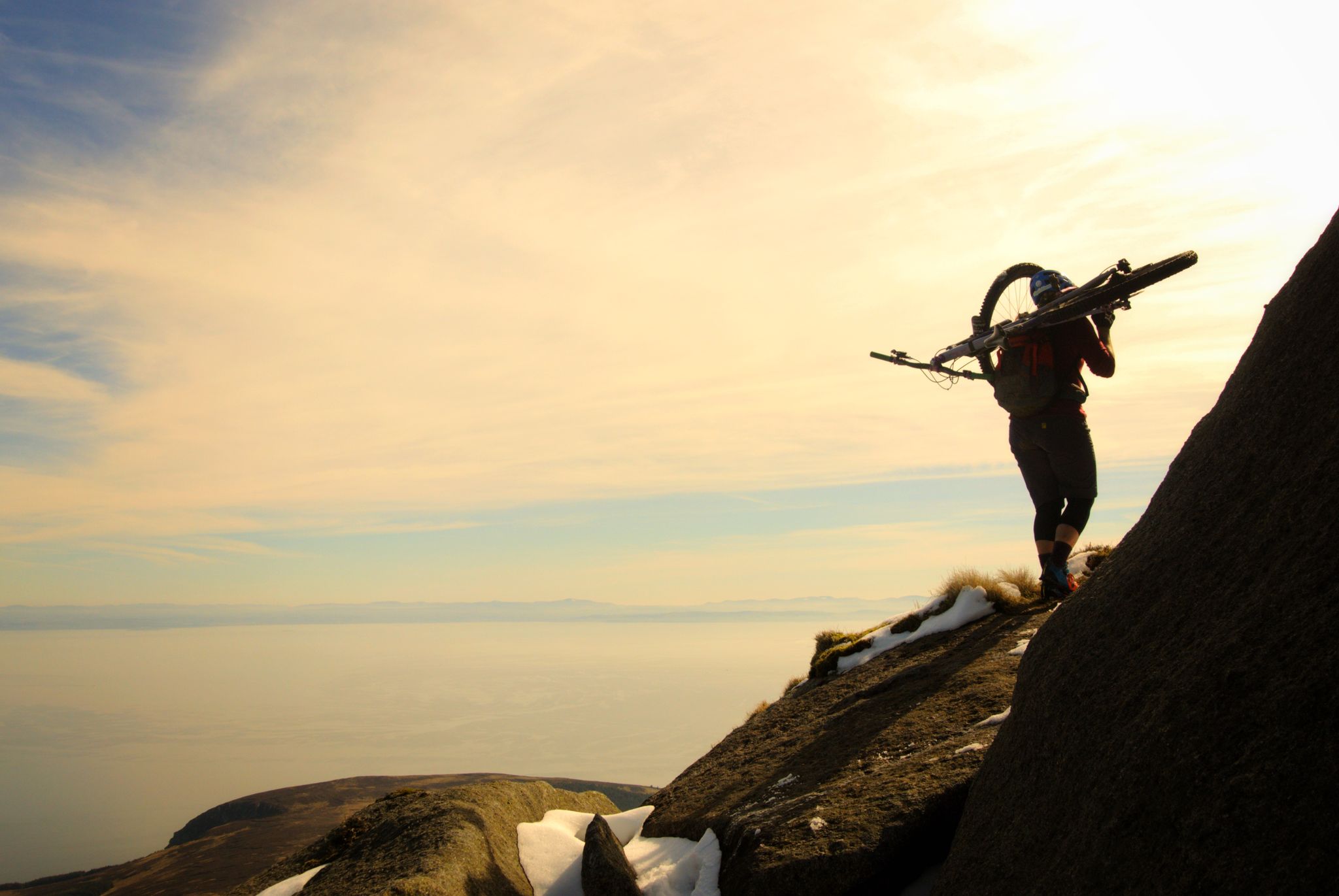
North Goat Fell is rocky tor and a subsidiary summit at the end of the Goat Fell north ridge. It also marks the beginning of the steep and in places awkward descent to the Saddle.
0
0
The Saddle is the Col between Cir Mhor and Goat Fell, and it is also the pass between Glen Rosa and Glen Sannox. The descent into Glen Rosa is straight forward, but climbing down into the head of Glen Sannox requires a good deal of care.
0
0
You pass this waterfall on the way to Beinn Nuis, a section of it is more of a slide down to granite slab.
0
0
Much beloved of Instagrammers who like swimming in the cold waters!
0
0

This is the castle that inspired Herges Adventures of TinTin only Scottish Adventure!
0
0


Frequently Asked Questions
How many bus station hiking trails are available in North Arran?
North Arran offers nearly 50 hiking trails accessible from bus stations. These routes cater to various fitness levels, with 18 easy, 17 moderate, and 13 difficult options to explore.
What kind of terrain can I expect on bus-accessible hikes in North Arran?
The terrain in North Arran is incredibly diverse, often referred to as 'Scotland in miniature'. You can expect rugged mountain paths, extensive moorlands, tranquil glens, and dramatic coastal sections. Many routes feature granite peaks and U-shaped valleys carved by glaciers, offering both challenging ascents and gentler forest walks.
Are there any family-friendly hiking options from bus stops in North Arran?
Yes, North Arran has several family-friendly routes accessible by bus. For instance, the lower sections of Glen Rosa offer gentle slopes suitable for families. While specific routes are not listed as 'family-friendly' in the data, look for trails with lower elevation gain and shorter distances, often found in the 'easy' or 'moderate' categories.
Can I find circular hiking routes that start and end at a bus station?
Absolutely. Many of North Arran's bus-accessible trails are circular, allowing you to return to your starting point without needing additional transport. Examples include the Arran Coastal Way: Lochranza Loop, the challenging Goatfell and North Goatfell Loop from Corrie, and the scenic Cladach to Waterfall in Glen Rosa loop.
What natural features or landmarks can I see along these bus-accessible trails?
North Arran's trails offer stunning natural features and landmarks. You can encounter majestic peaks like Goatfell Summit and Caisteal Abhail, dramatic rock formations such as Beinn Tarsuinn Summit and Arch Rock, and picturesque waterfalls in glens like Glen Rosa. The region is also known for its tranquil lochs and diverse woodlands.
Are there any historical sites or castles reachable from bus stops?
Yes, you can combine hiking with visits to historical sites. The ruins of Lochranza Castle are accessible, often in conjunction with the Arran Distillery. These offer a glimpse into the island's rich past amidst beautiful scenery.
What is the best time of year to hike in North Arran from bus stations?
The spring and summer months are generally recommended for hiking in North Arran due to milder weather and vibrant landscapes. However, the island's beauty can be enjoyed year-round, with autumn offering stunning colours and winter providing a more rugged, solitary experience for well-prepared hikers.
What do other hikers enjoy most about the bus-accessible trails in North Arran?
The bus-accessible trails in North Arran are highly rated by the komoot community, with an average score of 4.65 stars from over 600 reviews. Hikers often praise the dramatic and diverse landscapes, the accessibility of challenging mountain routes like Goatfell from bus stops, and the opportunity to experience 'Scotland in miniature' without needing a car.
Are there any routes that feature waterfalls?
Yes, you can find routes that lead to or pass by waterfalls. The Cladach to Waterfall in Glen Rosa loop is a moderate option that specifically highlights a waterfall, offering a beautiful natural spectacle.
What is the typical duration for these bus-accessible hikes?
The duration of hikes varies significantly depending on the route's distance and difficulty. Easy trails might take a couple of hours, while moderate routes like Goatfell from Corrie can take around 3-4 hours. More difficult and longer loops, such as the Loch na Davie & Locharanza loop, can extend to 5 hours or more, so always check the estimated duration for your chosen trail.
Are there opportunities for wild swimming along bus-accessible routes?
While specific wild swimming spots are not detailed in the route data, North Arran features tranquil lochs like Coire Fhionn Lochan and various coastal areas. If you're interested in wild swimming, research local conditions and safety guidelines for specific locations you might encounter along your chosen bus-accessible hike.
Most popular routes in North Arran
Most popular attractions in North Arran

Get inspired with the komoot mobile app


Explore more
Browse the best Hikes in other regions.
