The best traffic-free bike rides around Corno alle Scale
4.5
(118)
3,929
riders
6
rides
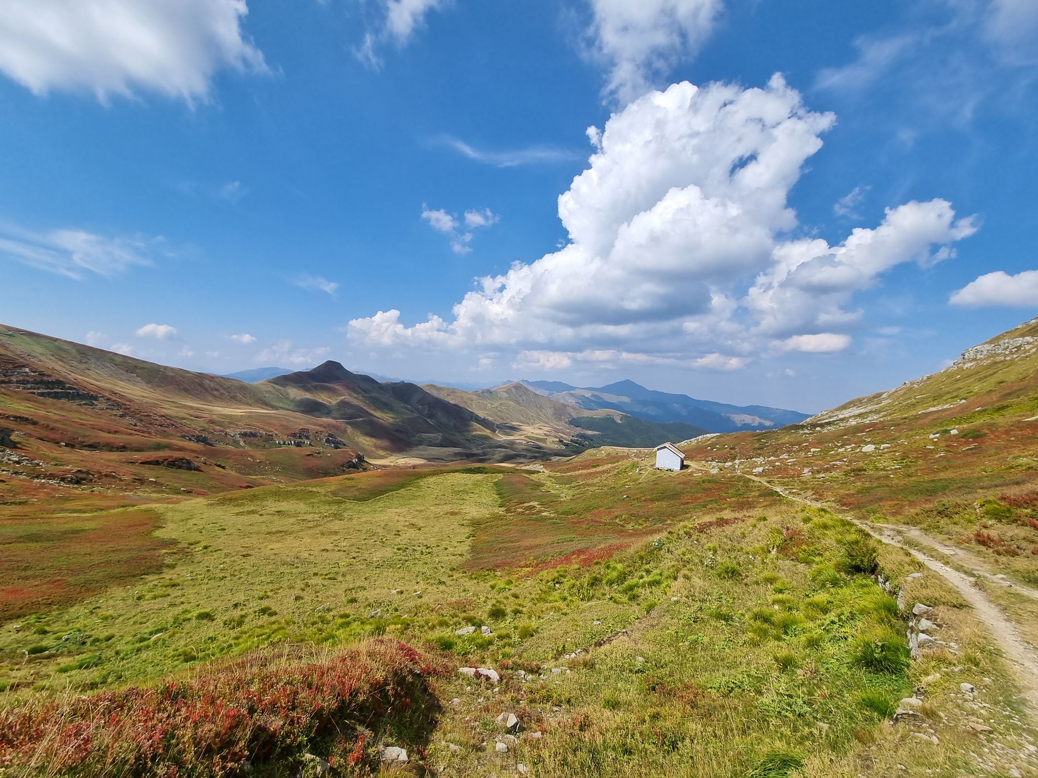
Road cycling around Corno alle Scale offers challenging terrain within the Apennine Mountains, characterized by significant climbs and diverse landscapes. The region features high-altitude meadows, glacial cirques, and verdant valleys, with the imposing Corno alle Scale mountain as its highest peak. Cyclists can navigate mostly paved surfaces through areas rich in forests of chestnuts, oaks, and beeches. The area provides extensive opportunities for road cycling with varying difficulty levels.
Best no traffic road cycling routes around Corno alle Scale
- The…
Last updated: July 13, 2026
5.0
(1)
9
riders
13.5km
00:51
380m
380m
Moderate road ride. Good fitness required. Mostly well-paved surfaces and easy to ride.
51
riders
30.6km
02:11
1,050m
1,050m
Hard road ride. Very good fitness required. Mostly well-paved surfaces and easy to ride.

Sign up for free
5.0
(1)
15
riders
25.3km
01:45
890m
890m
Moderate road ride. Good fitness required. Mostly well-paved surfaces and easy to ride.
10
riders
29.3km
01:59
930m
930m
Hard road ride. Very good fitness required. Mostly well-paved surfaces and easy to ride.
7
riders
Hard road ride. Very good fitness required. Mostly well-paved surfaces and easy to ride.
Our route recommendations are based on thousands of hikes, rides, and runs completed by other people on komoot.
Start today with a free account
Your next adventure awaits.
Login or Signup

Other adventures around Corno alle Scale

Tips from the Community

great view with more time to visit the town too
0
0

Madonna dell’Acero, a charming place surrounded by immense forests of beech and fir trees, located at an altitude of 1200 meters above sea level. The name of the place derives from an old print with the image of the Blessed Virgin dressed in Greek style, affixed to the trunk of a tree located in a clearing in the 14th century. Legend has it that two deaf-mute children, while they were busy guarding their flock at pasture, were caught in a storm and found refuge under an enormous maple tree. During the raging bad weather, the Madonna appeared and made them regain their hearing and speech. At home they reported that the Virgin wanted to be venerated in that place. The parish priest of Rocca Corneta, informed of the apparition, thought of transporting the image to the parish and celebrating the event in the presence of the Bishop. But on the day scheduled for the celebrations the sacred image had disappeared. The Madonna, the locals say, had returned to the Maple, leaving signs of herself on all the tree trunks along the road. It is also said that the marked trees could not be cut down: a man, who wanted to try to cut down one, located in his chestnut grove, was crushed under the branches of the tree. A small chapel thus arose around the Maple that enclosed the tree stripped of all its branches. The current suggestive sanctuary, built in a very simple style, like a group of small houses next to each other, dates back to the 16th and 17th centuries.
0
0

Open for most of the summer and located just below the Apennine ridge, the Taburri refuge has a bar area, a small kitchen with 21 beds. It is possible to camp with a tent in the garden in front and is managed with passion by Sara and Stefano. To book or get more information, visit the refuge's website: https://www.rifugiotaburri.it.
0
0

TABURRI refuge after Fanano and Fellicarolo immersed in nature
0
0
TABURRI refuge located after Fanano passing through Fellicarolo
0
0


Small refuge near the Doccione waterfalls. The food is genuinely mountain and delicious. Better to bring cash, the POS doesn't work in this refuge
1
0

Apennine refuge accessible by car and for families.
1
0
Frequently Asked Questions
How many no-traffic road cycling routes are available in Corno alle Scale?
There are 4 dedicated no-traffic road cycling routes listed in this guide for the Corno alle Scale region. These routes offer a range of distances and elevations, ensuring a suitable option for various fitness levels.
Are there challenging no-traffic road cycling routes in Corno alle Scale?
Yes, Corno alle Scale is known for its challenging terrain. This guide features two difficult routes: the Lake of the Nymph – Victory Square, Fanano loop from Fanano, which covers over 30 km with more than 1000 m of elevation gain, and the View of Cutigliano – Medieval Village of Cutigliano loop from Cutigliano, offering nearly 30 km and over 900 m of climbing. The region's demanding climbs, like the ascent to Corno alle Scale itself, are a major draw for experienced cyclists.
What kind of natural attractions can I expect to see along these routes?
The Corno alle Scale region is rich in natural beauty. You can expect to encounter majestic peaks, serene lakes, and picturesque valleys. Highlights include the stunning Laghetto del Cavone, and the impressive Summit and Cross of Corno alle Scale. The area also features other significant peaks like Monte La Nuda and Mount Gennaio, offering breathtaking views.
Are there any family-friendly or easier no-traffic road cycling options?
While many routes in Corno alle Scale are challenging, this guide includes moderate options that could be suitable for families or those seeking a less strenuous ride. The Roadbike loop from La Cà is a moderate 12 km route with just over 300 m of elevation, offering a good starting point. The region's diverse network allows for varying difficulty levels, though some segments might be unpaved.
When is the best time of year to enjoy no-traffic road cycling in Corno alle Scale?
The best time for road cycling in Corno alle Scale is typically from late spring through early autumn (May to October). During these months, the weather is generally mild, and the high-altitude meadows and valleys are at their most vibrant. Always check local weather forecasts before heading out, especially for mountain conditions which can change rapidly.
Are there any loop routes among the no-traffic options?
Yes, all the no-traffic road cycling routes featured in this guide are designed as loops, allowing you to start and finish at the same point. Examples include the Tassoni Hut loop from Fanano and the Lake Suviana – Lake Brasimone loop from Silla, providing convenient circular journeys through the scenic Apennines.
What do other road cyclists think about the routes in Corno alle Scale?
The komoot community highly rates the cycling experience in Corno alle Scale, with an average score of 4.6 out of 5 stars from over 100 ratings. Cyclists often praise the stunning Apennine landscapes, the challenging climbs, and the sense of tranquility found on these less-trafficked roads.
Where can I find parking for these no-traffic road cycling routes?
Parking availability varies by route starting point. For routes originating from towns like Fanano or Silla, you can typically find public parking in or near the village centers. For routes starting from smaller hamlets or specific points like La Cà or Cutigliano, look for designated parking areas or roadside spots that do not obstruct local traffic. Always check local signage for parking regulations.
Are there any routes that pass by cafes or places to stop for refreshments?
Many routes in the Corno alle Scale region pass through or near charming mountain villages and hamlets, which often host local cafes, trattorias, or rifugios (mountain huts). For instance, routes starting from Fanano or Cutigliano will offer opportunities for refreshments. The Tassoni Hut loop from Fanano suggests a stop near a hut, which often provides food and drink. It's always a good idea to check opening hours, especially outside peak season.
What should I bring for a no-traffic road cycling trip in Corno alle Scale?
Given the challenging terrain and mountain environment, it's essential to be well-prepared. Bring sufficient water and snacks, as refreshment stops may be infrequent on some sections. Essential gear includes a helmet, repair kit, appropriate clothing for varying weather conditions (layers are key), and a fully charged phone. A GPS device or the komoot app is highly recommended for navigation, as signage can be sparse in remote areas. Sunscreen and sunglasses are also advisable.
How can I check weather conditions for my ride?
Mountain weather can be unpredictable. It's crucial to check a reliable local weather forecast before and on the day of your ride. Websites or apps that provide specific forecasts for the Corno alle Scale Regional Park or nearby towns like Fanano, Silla, or Lizzano in Belvedere will offer the most accurate information. Be prepared for sudden changes in temperature, wind, or precipitation, especially at higher elevations.
Are there any less crowded or 'hidden gem' no-traffic routes?
While all routes in this guide are selected for their low traffic, the charm of Corno alle Scale lies in its ability to offer a sense of solitude even on popular paths. The Roadbike loop from La Cà, being a slightly shorter and less demanding option, might offer a more tranquil experience away from the more challenging climbs. Exploring the smaller roads connecting the region's charming villages often reveals quiet, scenic stretches.
Most popular routes around Corno alle Scale
Most popular attractions around Corno alle Scale

Get inspired with the komoot mobile app


Explore more
Browse the best Road cycling routes in other regions.
