The best hikes from bus stations around Forêt de Villers
4.1
(199)
981
hikers
10
hikes
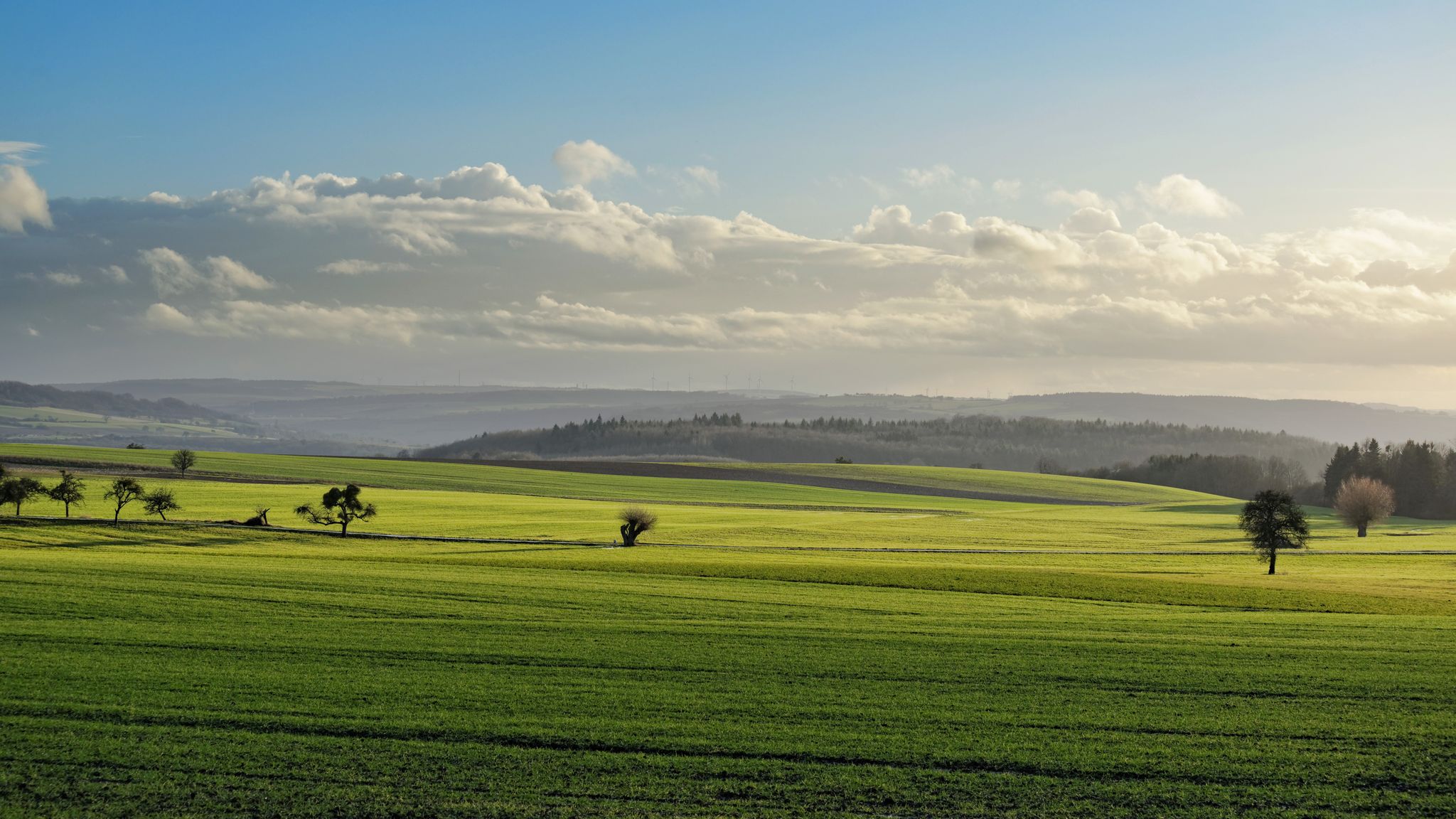
Bus station hiking trails around Forêt de Villers offer access to a diverse natural environment characterized by expansive woodlands, varied terrain, and numerous water features. The forest, primarily composed of beech and oak trees, features gentle hills and more rugged areas. Its highest point, Butte de Montaigu, reaches 791 feet (241 meters). Water features such as ponds and streams are present throughout the area, contributing to its ecological diversity.
Best bus station hiking trails around Forêt de Villers
- The most…
Last updated: June 29, 2026
5.0
(1)
4
hikers
4.69km
01:14
40m
40m
Easy hike. Great for any fitness level. Easily-accessible paths. Suitable for all skill levels.
5.0
(1)
5
hikers
Moderate hike. Good fitness required. Easily-accessible paths. Suitable for all skill levels.

Sign up for free
4.0
(4)
13
hikers
13.3km
03:34
150m
150m
Moderate hike. Good fitness required. Easily-accessible paths. Suitable for all skill levels.
3.5
(2)
10
hikers
6.75km
01:47
60m
60m
Easy hike. Great for any fitness level. Easily-accessible paths. Suitable for all skill levels.
5.0
(1)
9
hikers
14.2km
03:45
140m
140m
Moderate hike. Good fitness required. Easily-accessible paths. Suitable for all skill levels.
Get access to more routes and recommendations from other explorers.
Sign up for free
Already have an account?
Our route recommendations are based on thousands of hikes, rides, and runs completed by other people on komoot.
Start today with a free account
Your next adventure awaits.
Login or Signup
Popular around Forêt de Villers
Other adventures around Forêt de Villers

Tips from the Community

Since 2024, overnight accommodation has also been available here. Ideal for groups, there are 18 beds.
2
0

A beautiful fairground has been laid out here. The fort can be used in the period from 01.04. until 31.10. be visited on Sundays.
0
0

Beautiful medieval castle. It can also be visited.
2
0
Friendly service and a beautiful terrace with a view of the castle 🏰
0
0
Fort of the Maginot Line. You can also visit.
0
0

For the moment just to see from the outside but the times are exceptional!
0
0
Frequently Asked Questions
How many bus-accessible hiking trails are available in Forêt de Villers?
There are 8 curated hiking trails in Forêt de Villers that are easily accessible from bus stations. These routes offer a range of experiences, from easy strolls to more challenging excursions through the forest.
What kind of terrain can I expect on bus-accessible trails in Forêt de Villers?
The trails in Forêt de Villers feature varied terrain, including gentle hills and some more rugged areas. You'll primarily hike through extensive woodlands of beech and oak, with numerous water features like ponds and streams adding to the scenic beauty. The highest point, Butte de Montaigu, offers elevated views.
Are there any easy hiking trails accessible by bus for beginners?
Yes, there are easy options perfect for beginners. For example, the Château de Luttange loop from Luttange is an easy 6.7 km route that takes just over 1 hour and 45 minutes to complete, offering a pleasant walk with minimal elevation gain.
What natural features or landmarks can I see on these bus-accessible trails?
Many bus-accessible trails lead to or pass by notable natural features and landmarks. You might encounter the Charlemagne Spring, the historic Notre-Dame de Rabas Chapel, or the unique Saint-Hubert Canyon. The forest itself is rich in biodiversity with ancient trees.
Can I find circular hiking routes that start and end at a bus station?
Yes, many of the bus-accessible routes are designed as circular walks, allowing you to return to your starting point without needing additional transport. An example is the Luttange – I V V Metzeresche loop from Luttange, a moderate 13.3 km trail.
When is the best time of year to hike in Forêt de Villers from a bus station?
Forêt de Villers is beautiful year-round, but spring and autumn are particularly recommended. In spring, the forest comes alive with fresh greenery and wildflowers. Autumn offers stunning foliage colors. Summer provides cool shade under the extensive tree canopy, while winter can offer peaceful, snowy landscapes, though some paths might be muddy.
Are the bus-accessible trails in Forêt de Villers suitable for families?
Absolutely. The varied terrain includes many gentle paths suitable for families. Routes like the Château de Luttange loop from Luttange are classified as easy and are great for a family outing. The natural environment and water features provide engaging points of interest for children.
Are dogs allowed on the hiking trails accessible by bus?
Generally, dogs are welcome on trails in Forêt de Villers, but it's always best to keep them on a leash, especially given the rich biodiversity and presence of wildlife. Please ensure you clean up after your pet to maintain the natural beauty of the forest for everyone.
What do other hikers say about the bus-accessible trails in Forêt de Villers?
The bus-accessible trails in Forêt de Villers are highly rated by the komoot community, with an average score of 4.15 stars from 165 ratings. Hikers often praise the serene woodlands, the well-maintained paths, and the opportunity to explore diverse natural features and historical sites directly from public transport stops.
Is there a longer, more challenging bus-accessible hike available?
Yes, for those seeking a greater challenge, the Porte des Allemands – Seille loop from Chieulles is a difficult 24.9 km route with over 300 meters of elevation gain, taking approximately 6 hours and 40 minutes to complete. It offers a comprehensive exploration of the region's landscapes.
Are there any places to eat or drink near the bus station trailheads?
While the focus of these routes is on natural immersion, some villages near bus stops may offer local amenities. For specific information on local establishments, it's advisable to check local listings for the villages where your chosen trail starts or ends, such as Luttange or Chieulles.
Most popular routes around Forêt de Villers
Most popular attractions around Forêt de Villers

Get inspired with the komoot mobile app


Explore more
Browse the best Hikes in other regions.
