The best city hikes and walks around Hainleite
4.6
(593)
2,264
hikers
30
hikes
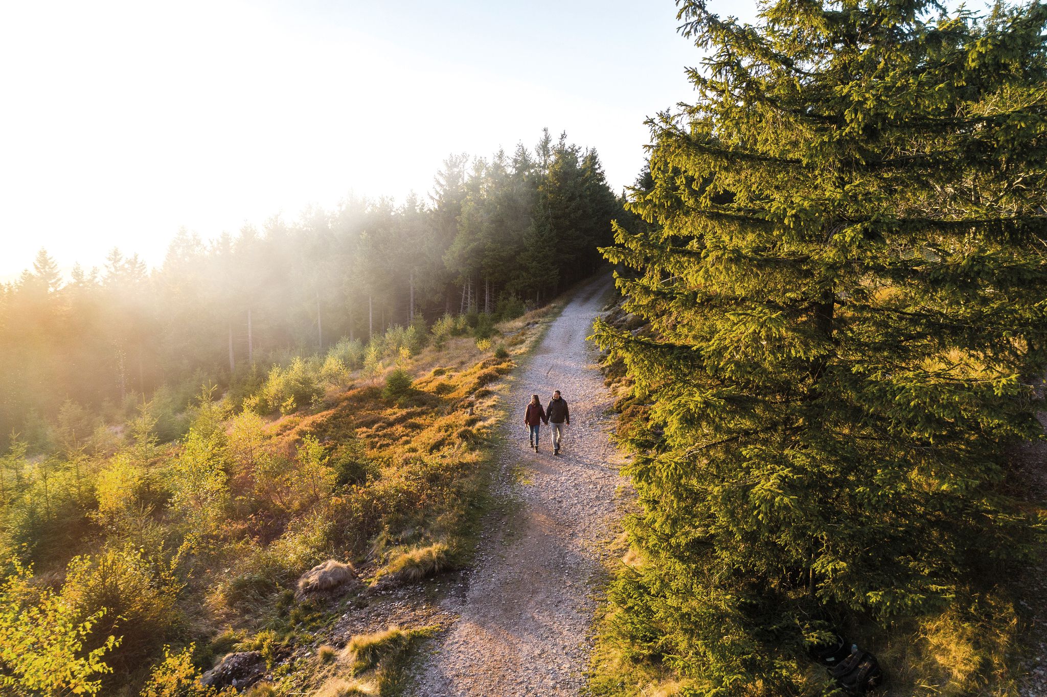
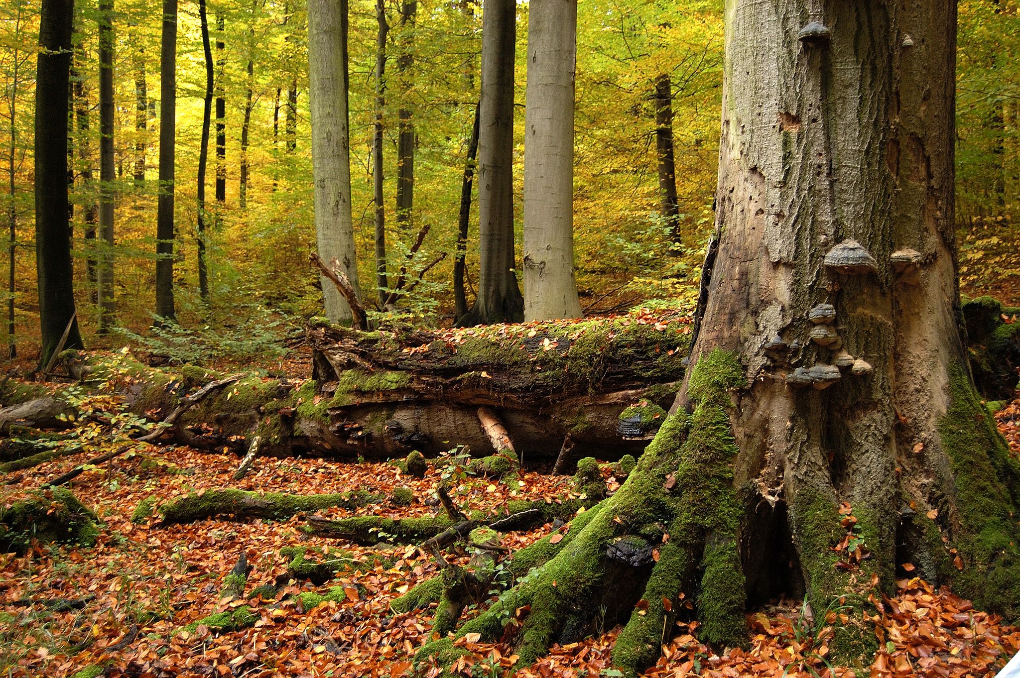
Urban hiking trails around Hainleite traverse a diverse landscape characterized by a Muschelkalk ridge and heavily wooded terrain, including dense beech forests. The region features a steep descent into the Wipper valley to the north and a gentle slope towards the Erfurt Lowland in the south. Elevations within Hainleite reach up to 463 meters above sea level, with notable points like Possen (420 m) and Kuhberg (406 m). Hikers can explore paths through mixed woods and areas with distinctive red…
Last updated: July 13, 2026
16
hikers
Easy hike. Great for any fitness level. Easily-accessible paths. Suitable for all skill levels.
5.0
(1)
15
hikers
Easy hike. Great for any fitness level. Easily-accessible paths. Suitable for all skill levels.

Sign up for free
5.0
(2)
12
hikers
9.29km
02:44
250m
250m
Moderate hike. Good fitness required. Easily-accessible paths. Suitable for all skill levels.
14
hikers
4.93km
01:18
40m
40m
Easy hike. Great for any fitness level. Easily-accessible paths. Suitable for all skill levels.
4.3
(3)
10
hikers
Easy hike. Great for any fitness level. Easily-accessible paths. Suitable for all skill levels.
Get access to more routes and recommendations from other explorers.
Sign up for free
Already have an account?
Our route recommendations are based on thousands of hikes, rides, and runs completed by other people on komoot.
Start today with a free account
Your next adventure awaits.
Login or Signup
Other adventures around Hainleite


Tips from the Community

Built in 1891, initially a civic school, later a military hospital, today a vocational school
0
0

The Jewish cemetery in Sondershausen could be established when the modern Jewish community was founded in the city at the end of the 17th century: in 1699, the area for a Jewish burial site south of the city on the Spatenberg was purchased. The "protected Jew" of the time, Alexander Cantor, acquired the property. The oldest gravestones (from the early 18th century) are located on the area to the left of the entrance gate (approx. 25 rows of graves). On the area to the right of the gate, there are seven rows of newer gravestones from the years 1885 to 1939; the last burial was in 1939 (Selma Baruch). The older gravestones are predominantly made of local shell limestone. There are approximately 180 burial sites. The cemetery area - in the shape of a triangle - covers about 33 ares. A cemetery hall / Taharahaus was present (demolished in 1988). In 1988, a memorial stone was erected at the site of the demolished cemetery hall - the inscription reads: "In silent remembrance of our murdered brothers and sisters 1933-1945". The cemetery was desecrated in August 1990, April 1997, December 2003, and August 2014. Location: South of the city on the Spatenberg; continuation of Possenallee / south of Heinrich-Cotta-Weg
0
0

In Gottesackergasse in Sondershausen, clearly visible remnants of the medieval city wall still stand. The fortifications were built around the year 1300 and once protected the city with high walls, towers, and several city gates. The section near the Old Cemetery is a reminder of the former Cemetery Gate, through which even Swedish troops invaded the city during the Thirty Years' War. Today, the historic wall remnant invites visitors to pause for a moment – a small piece of local history amidst everyday life, showing how Sondershausen was once fortified. A lovely spot for history buffs and curious explorers. 📜
0
0

Former level crossing of the Kyffhäuserbahn Bretleben-Sondershausen, today the Unstrut-Werra cycle path crosses the Possenallee here.
0
0

Beautiful view of the Trinity Church and the Wipper Valley.
0
0

Above SDH, these remarkable memorial and marker stones can be seen. Furthermore, everyone has beautiful views over SDH and in the direction of the Kyffhäuser Mountains.
2
0

Sondershausen has a very nice market square that deserves a stamp point.
7
0

When we finally arrived at the roundabout, we were amazed and delighted by the magnificent view. The Sondershausen roundabout is a semicircular structure built in 1910, with a World War II memorial dedicated in 1929, located on the Hainleite ridge. Located at 390 meters above sea level, it serves as a vantage point, including views of Sondershausen's town center and the Harz Mountains.
8
0
Frequently Asked Questions
How many urban hiking trails are available in the Hainleite region?
The Hainleite region offers over 30 urban hiking trails, with a strong focus on easy routes suitable for most hikers. You'll find a diverse network of paths, many of which are loops, allowing you to explore the local towns and their surroundings.
What kind of terrain can I expect on urban hikes in Hainleite?
Urban hikes in Hainleite often feature a mix of paved paths, well-maintained forest trails, and gentle slopes. The region is characterized by its Muschelkalk ridge, so while many urban routes are relatively flat, some may include slight elevation changes as they skirt the edges of the heavily wooded Hainleite hills. For example, the Sondershausen Castle – Ronderhöhe Memorial loop from Sondershausen includes moderate elevation.
Are there any family-friendly urban hiking options in Hainleite?
Yes, Hainleite is very welcoming for families. Many of the urban trails are easy and relatively short, making them ideal for walks with children. The region's natural beauty and historical sites provide engaging points of interest. Consider routes like the Goethe School loop from Sondershausen, which offers a pleasant and accessible experience.
Can I bring my dog on urban hikes in Hainleite?
Generally, dogs are welcome on urban hiking trails in Hainleite, provided they are kept on a leash and owners clean up after them. The mixed woods and open areas offer plenty of space for a walk with your canine companion. Always check local signage for specific restrictions, especially in nature reserves or protected areas.
What are some notable landmarks or attractions I can see on urban hikes?
Urban hikes in Hainleite often lead past significant historical and natural attractions. You can explore sites like Lohra Castle, which is undergoing renovation, or the impressive Arnsburg Ruins with their views of the Wipperdurchbruch. Many routes, such as the Octagon House/Marstall – Sondershausen Castle loop from Sondershausen, will take you past the historic Sondershausen Castle.
Are there circular urban hiking routes available?
Yes, many of the urban hiking trails in Hainleite are designed as circular routes, allowing you to start and end at the same point without retracing your steps. This is convenient for exploring the towns and their immediate surroundings. An example is the View of Hain- und Windleite – Wipper Bridge loop from Sondershausen.
What is the best time of year for urban hiking in Hainleite?
Urban hiking in Hainleite is enjoyable year-round. Spring brings blooming orchids and fresh greenery, while autumn offers vibrant foliage in the mixed forests. Summer provides pleasant conditions for exploring, and even winter can be beautiful with snow-dusted landscapes, though some paths might be slippery. The region's extensive trail network ensures there's always a suitable path regardless of the season.
How can I access urban hiking trails using public transport?
Many urban hiking trails in Hainleite are accessible from towns like Sondershausen, which serve as key hubs in the region. Public transport options, including buses and trains, connect these towns, making it possible to reach trailheads without a car. It's advisable to check local transport schedules for specific routes and timings.
Are there cafes or places to eat near the urban hiking trails?
Given the urban focus of these trails, you'll often find cafes, restaurants, and other amenities within easy reach in the towns and villages you pass through. Sondershausen, for instance, offers various dining options where you can refuel after your hike. Routes like the Villa Kunterbunt – Trinitatis Church Sondershausen loop from Sondershausen will keep you close to town amenities.
What do other hikers enjoy most about urban hiking in Hainleite?
The urban hiking trails in Hainleite are highly rated by the komoot community, with an average score of 4.6 stars from nearly 500 ratings. Reviewers often praise the well-maintained paths, the blend of natural beauty with historical townscapes, and the accessibility of the routes. The opportunity to discover hidden gems and enjoy peaceful walks close to civilization is frequently highlighted.
Are there any challenging urban hikes in Hainleite?
While most urban hikes in Hainleite are easy, there are a few moderate options for those seeking a bit more challenge. These routes might feature longer distances or more significant elevation changes, often venturing further into the surrounding woodlands. For example, the Sondershausen Castle – Ronderhöhe Memorial loop from Sondershausen is classified as moderate due to its length and elevation gain.
Most popular routes around Hainleite
Most popular attractions around Hainleite

Get inspired with the komoot mobile app


Explore more
Browse the best Hikes in other regions.
