The best city hikes and walks around Wuhlheide
4.5
(13437)
68,048
hikers
1,346
hikes
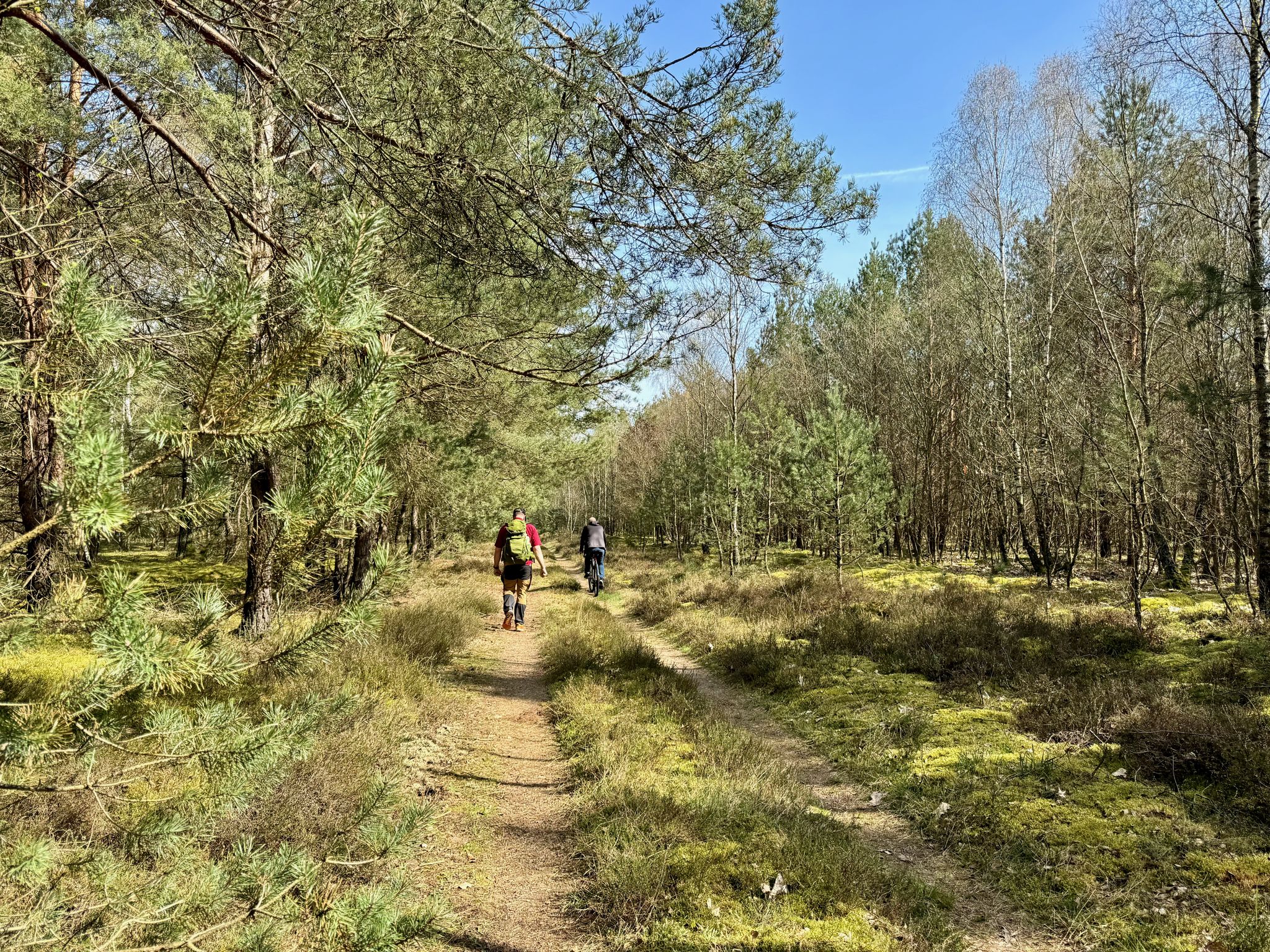
Urban hiking trails around Wuhlheide traverse a sprawling public forest park located in southeastern Berlin. The area is characterized by extensive woodlands, meadows, and open spaces, featuring diverse ecosystems such as acidic soil oak forests and alder and willow swamp forests. The Wuhle river flows through the park, providing a natural corridor for many routes. The terrain is generally flat, with minimal elevation changes, making it accessible for various activity levels.
Best urban hiking trails around Wuhlheide
- The most popular urban hiking route is Wuhle Trail – Wuhletal Trail loop from Biesdorf-Süd, a 6.3 miles (10.1 km) trail that takes about 2 hours 33 minutes to complete. This route follows sections of the Wuhle river, offering varied natural scenery.
- Another top favourite among local hikers is Müggelspree Riverside Path – Friedrichshagen Spree Tunnel loop from Köpenick, a moderate 5.9 miles (9.4 km) path. This trail explores riverside paths and passes through the historic Spree Tunnel.
- Local hikers also love the Wuhletal Trail – Wuhle Trail loop from Köpenick, a 5.9 miles (9.5 km) trail leading through riverine landscapes and park areas, often completed in about 2 hours 23 minutes.
- Hiking around Wuhlheide is defined by extensive woodlands, river paths along the Wuhle, and open parklands. The network offers options for different ability levels, from easy strolls to moderate urban hikes.
- The routes in Wuhlheide are highly rated by the komoot community with an average score of 4.4 stars from over 60 reviews. More than 360 hikers have used komoot to explore Wuhlheide's varied terrain.
Last updated: October 16, 2026
4.9
(8)
35
hikers
11.0km
02:48
30m
30m
Moderate hike. Good fitness required. Easily-accessible paths. Suitable for all skill levels.
4.8
(31)
99
hikers
9.79km
02:28
20m
20m
Moderate hike. Good fitness required. Easily-accessible paths. Suitable for all skill levels.

3.5
(4)
165
hikers
Easy hike. Great for any fitness level. Easily-accessible paths. Suitable for all skill levels.
4.5
(4)
33
hikers
6.44km
01:39
20m
20m
Easy hike. Great for any fitness level. Easily-accessible paths. Suitable for all skill levels.
4.4
(20)
56
hikers
5.43km
01:22
10m
10m
Easy hike. Great for any fitness level. Easily-accessible paths. Suitable for all skill levels.
Get access to more routes and recommendations from other explorers.
Already have an account?
Our route recommendations are based on thousands of hikes, rides, and runs completed by other people on komoot.
Start today with a free account
Your next adventure awaits.

Other adventures around Wuhlheide


Tips from the Community

A fantastic view over the water at the mouth of the Dahme into the Spree.
0
0

An important place for the residents of Adlershof to breathe fresh air and take a walk.
0
0

Oberspree station is located roughly halfway along the branch line from Schöneweide to Spindlersfeld. The line was opened on November 15, 1891, for freight traffic to and from the W. Spindler factory and opened for passenger service on April 1, 1892. With the commencement of passenger service, the station also opened, approximately where Oberspreestraße crosses the tracks. Initially, the station had a through main track as well as a passing loop with an island platform in between. The station building was demolished in 1970. The East German State Railway (DR) closed the passing loop in 1973, thus reducing the station to a halt. The passing loop was last used during the 10th World Festival of Youth and Students in 1973. The most recent project at the station was the construction of a new steel pedestrian bridge, completed in December 1997. Source: https://de.wikipedia.org/wiki/Zweigbahn_Sch%C3%B6neweide%E2%80%93Spindlersfeld#Oberspree
1
0

Monday 3:00 PM–10:00 PM Tuesday 3:00 PM–10:00 PM Wednesday 3:00 PM–10:00 PM Thursday 3:00 PM–10:00 PM Friday 3:00 PM–10:00 PM Saturday 12:00 PM–10:00 PM Sunday 10:00 AM–10:00 PM
0
0

The Wuhletal cycle path is particularly popular now in spring
1
0

(Asphalted) hiking and cycling highway along the Wuhle.
0
0

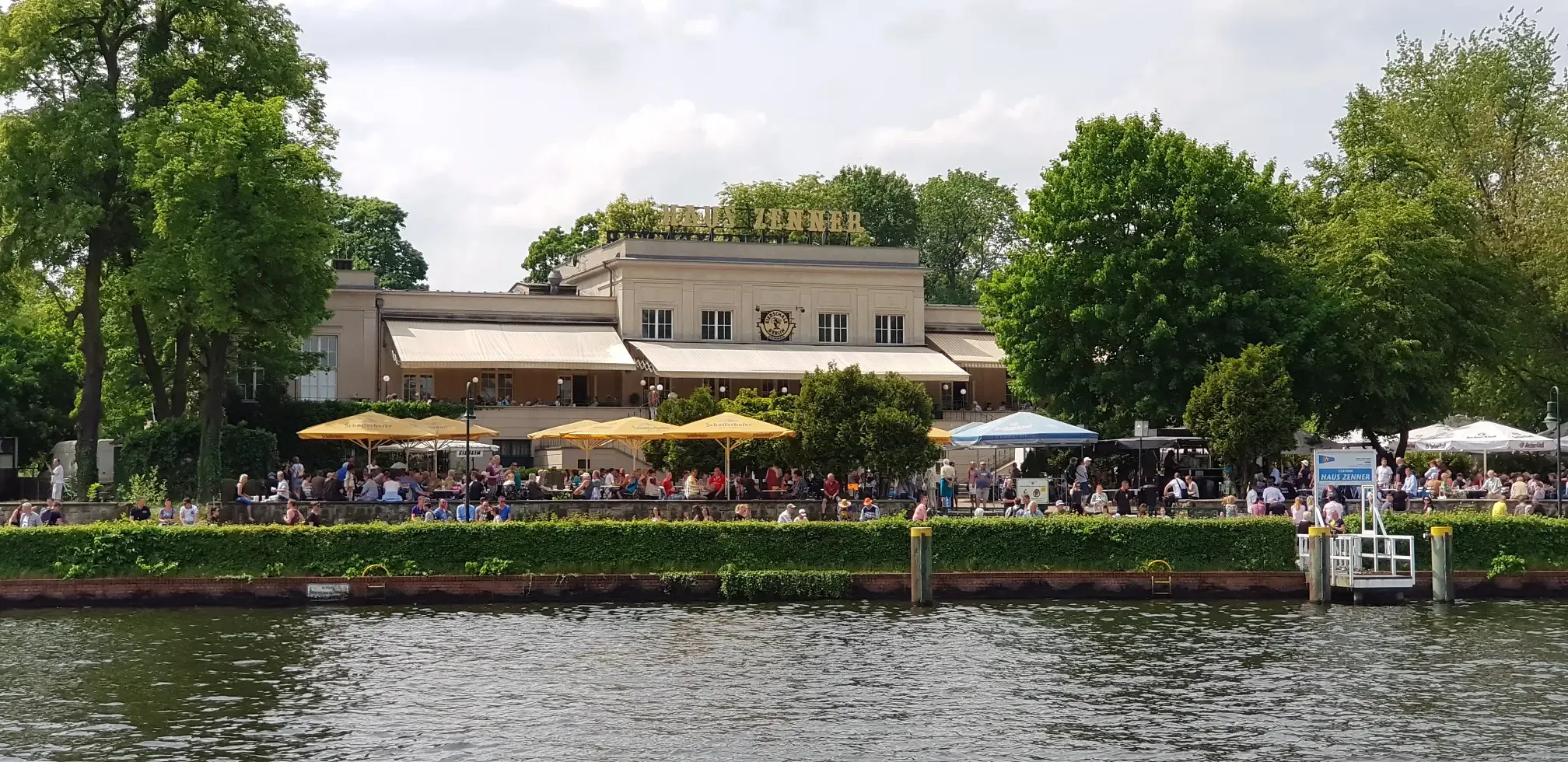
Right at the mouth of the Dahme River, you can relax with a view of the water. There are also several restaurants here.
2
0
Frequently Asked Questions
How many urban hiking trails are available in Wuhlheide?
Wuhlheide offers a vast network of urban hiking trails. You can find nearly 1400 routes, with over 1000 of them rated as easy, making it accessible for various fitness levels. These trails wind through diverse landscapes, from dense woodlands to open meadows.
What kind of terrain can I expect on urban hikes in Wuhlheide?
The urban hiking trails in Wuhlheide feature a mix of terrain. You'll find extensive foot and cycle paths, many of which are well-maintained. The park's diverse ecosystems include natural forest areas, meadows, and even unique acidic soil oak forests, offering varied surfaces from paved sections to natural forest floors. Elevation changes are generally minimal, making most routes quite accessible.
Are there family-friendly urban hiking options in Wuhlheide?
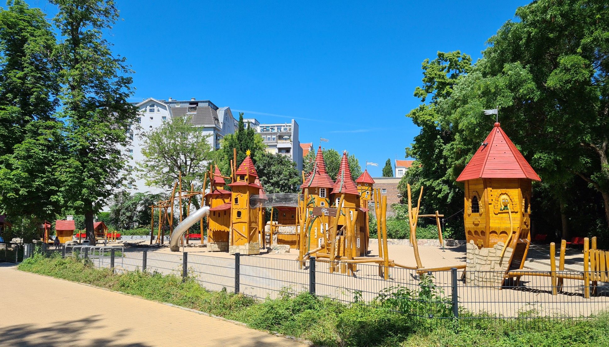
Absolutely! Wuhlheide is very family-friendly. Many trails are easy and suitable for children. The park also hosts FEZ Berlin – Children's, Youth and Family Center, Europe's largest non-profit children's center, which offers numerous activities. You can also enjoy a charming ride on the Children's Park Railway or explore the Köpenick Town Hall loop from Köpenick, an easy 4.1 km route perfect for a family outing.
Can I bring my dog on the urban hiking trails in Wuhlheide?
Yes, Wuhlheide is a dog-friendly park. Dogs are generally welcome on the trails, but it's important to keep them on a leash, especially in designated areas and during wildlife breeding seasons, to protect the park's rich biodiversity. Always remember to clean up after your pet.
What are some notable landmarks or attractions to see along the urban hiking routes?
Wuhlheide's urban hikes offer several points of interest. You can explore the Wuhlheide Cycle Path, visit the FEZ Berlin – Children's, Youth and Family Center, or admire the Large Spherical Fountain at FEZ Berlin. The Stadium at the Old Forester's Lodge also adds a historical touch to your walk. The Wuhle Trail – Wuhletal Trail loop from Biesdorf-Süd is a great option to experience the natural beauty of the Wuhle river.
Are there circular urban hiking routes in Wuhlheide?
Yes, many of the urban hiking routes in Wuhlheide are circular, allowing you to start and end at the same point. For example, the Müggelspree Riverside Path – Friedrichshagen Spree Tunnel loop from Köpenick offers a scenic circular experience along the Spree river. Another option is the Wuhletal Trail – Wuhle Trail loop from Köpenick, which provides a pleasant loop through the Wuhletal.
How can I access Wuhlheide's urban hiking trails using public transport?
Wuhlheide is well-connected by public transport, making it easy to reach the urban hiking trails. Various S-Bahn and tram lines serve the area, with several stations located around the park's perimeter. This allows for convenient access to different starting points for your urban hike.
Is there parking available for urban hikers in Wuhlheide?
Yes, parking facilities are available around Wuhlheide, particularly near major attractions like FEZ Berlin and other recreational areas. While some parking might be paid, there are often options for visitors arriving by car to access the urban hiking trails.
What do other hikers enjoy most about urban hiking in Wuhlheide?
The area is highly rated by the komoot community, with an average score of 4.4 stars from 67 ratings. Reviewers often praise the quiet woodlands, the diverse natural landscapes, and the well-maintained paths that make for enjoyable urban hikes. The blend of nature and accessible attractions is frequently highlighted.
What is the best time of year to go urban hiking in Wuhlheide?
Wuhlheide offers enjoyable urban hiking experiences year-round. Spring brings blooming flora and fresh greenery, while summer provides lush shade from the extensive tree cover. Autumn transforms the park with vibrant fall colors, and even in winter, the snow-dusted landscapes offer a serene atmosphere. The diverse ecosystems and well-maintained paths make it suitable for all seasons.
Are there any easy urban hiking routes for beginners in Wuhlheide?
Yes, Wuhlheide is an excellent place for beginner urban hikers, with over 1000 easy routes available. A great option is the Köpenick Town Hall loop from Köpenick, which is an easy 4.1 km route. These trails typically have minimal elevation changes and well-defined paths, perfect for those new to urban hiking.
Most popular routes around Wuhlheide
Most popular attractions around Wuhlheide

Get inspired with the komoot mobile app


Explore more
Browse the best Hikes in other regions.
