The best traffic-free bike rides around Thruscross Reservoir
4.7
(58)
1,073
riders
25
rides
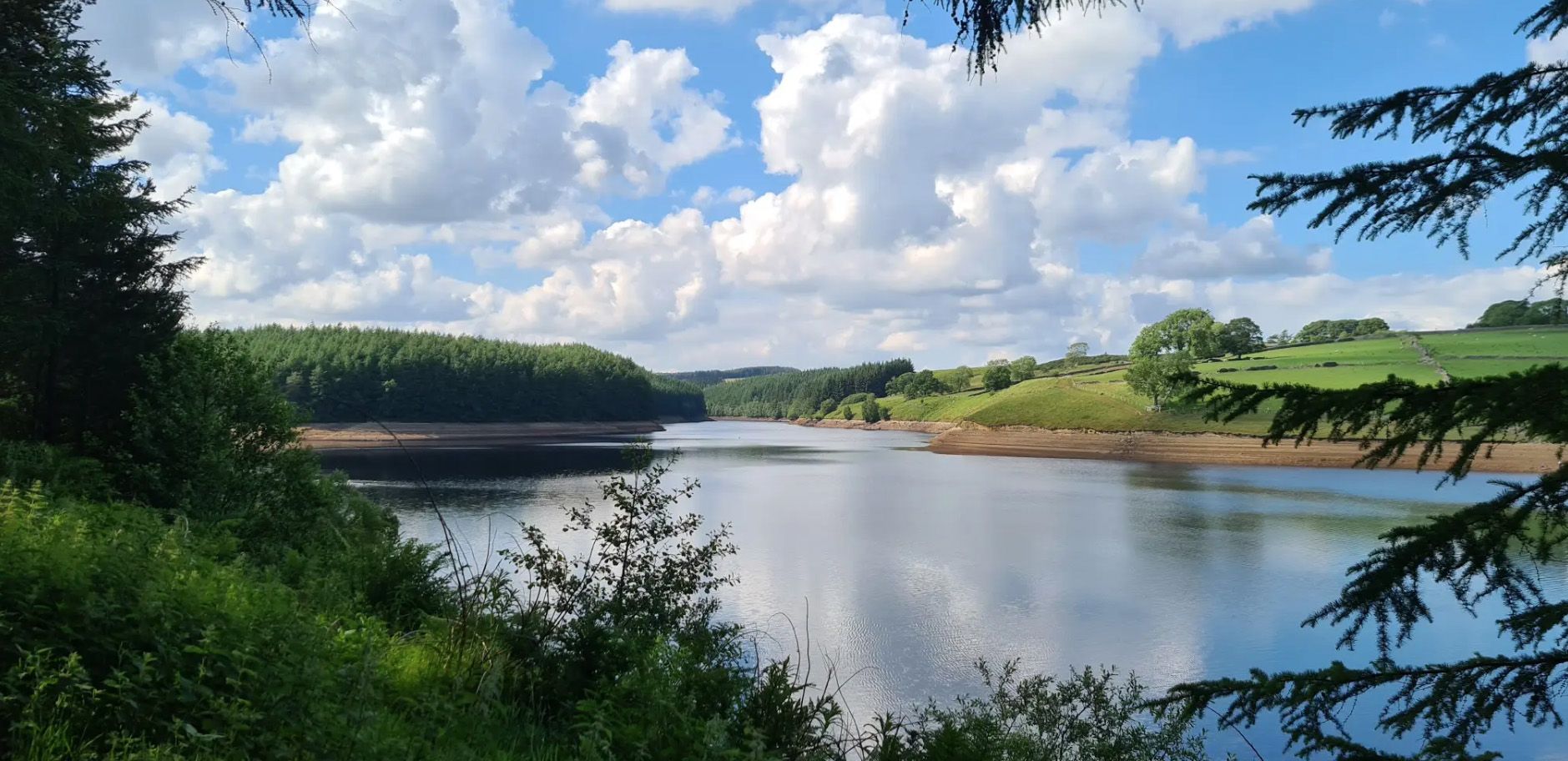
No traffic touring cycling routes around Thruscross Reservoir navigate the scenic Washburn Valley, characterized by tranquil reservoir waters, open moorland, and varied terrain. The landscape features a mix of peaceful woodland, agricultural land, and rough pastures, with interesting geographical elements like crags, ghylls, and streams. Cyclists will find routes that combine paved roads with gravel sections, offering diverse surfaces for exploration.
Best no traffic touring cycling routes around Thruscross Reservoir
- The most popular no traffic touring cycling route is The Craven Arms – Skyreholme Bank Gravel Climb loop from Thornthwaite with Padside, a 15.4 miles (24.8 km) trail that takes 2 hours 17 minutes to complete. This difficult route includes significant elevation gain and varied landscapes.
- Another top favourite among local touring cyclists is Cavendish Pavilion Café – Thruscross Dam loop from Old Wife Ridge, a difficult 24.1 miles (38.9 km) path. This route features substantial climbs and views across the valley.
- Local touring cyclists also love the Scar House Reservoir and Dam – Gouthwaite Reservoir loop from Pateley Bridge, a 24.2 miles (39.0 km) trail leading through reservoir landscapes and open countryside, often completed in about 2 hours 30 minutes.
- Touring cycling around Thruscross Reservoir is defined by its reservoirs, open moorland, and hilly terrain, offering a mix of paved and gravel surfaces. The network provides options for various ability levels, from moderate rides to difficult challenges.
- The routes in Thruscross Reservoir are highly rated by the komoot community with an average score of 4.7 stars from more than 50 reviews. More than 1200 touring cyclists have used komoot to explore Thruscross Reservoir's varied terrain.
Last updated: August 23, 2026
21
riders
Hard bike ride. Very good fitness required. Mostly paved surfaces. Suitable for all skill levels.
18
riders
15.5km
00:57
130m
140m
Easy bike ride. Great for any fitness level. Mostly paved surfaces. Suitable for all skill levels.

Sign up for free
5.0
(3)
68
riders
48.8km
03:18
820m
820m
Hard bike ride. Very good fitness required. Mostly paved surfaces. Suitable for all skill levels.
4.7
(6)
70
riders
23.9km
01:25
160m
170m
Moderate bike ride. Good fitness required. Mostly paved surfaces. Suitable for all skill levels.
4.0
(2)
60
riders
Moderate bike ride. Good fitness required. Mostly paved surfaces. Suitable for all skill levels.
Get access to more routes and recommendations from other explorers.
Sign up for free
Already have an account?
Our route recommendations are based on thousands of hikes, rides, and runs completed by other people on komoot.
Start today with a free account
Your next adventure awaits.
Login or Signup
Popular around Thruscross Reservoir

Other adventures around Thruscross Reservoir

Tips from the Community

One side of the reservoir is road, the other is a fantastic bridleway
0
0

One of the best pubs in the Dales. Oozes charm and character. Very popular all year round so book ahead to avoid disappointment.
0
0

Lovely Yorkshire town with an excellent marketplace, masham bakery and 2 breweries. We visited the black sheep brewery briefly and were rewarded with Holy Grail Ale, delicious
0
0


Quintessentially pretty market town, arrive early to find suitable parking, best place is next to the showground on the southern side of the bridge over the River Nidd. Honesty box only (no payment cards), cheap at £1 up to 4 hours and £2 all day (spring 2025 prices). The southern end of Nidderdale around Pateley Bridge has one of the densest concentrations of public footpaths in North Yorkshire, so loads of routeing options. See the North Yorks public rights of way map at https://maps.northyorks.gov.uk/connect/analyst/mobile/#/main?mapcfg=Out_and_About
1
0

This is a beautiful road to cycle down that follows the entire length of the reservoir. It's surrounded by rolling hills and farmland and provides great views of the Nidderdale Valley.
1
0
Frequently Asked Questions
How many no traffic touring cycling routes are available around Thruscross Reservoir?
There are 28 dedicated no traffic touring cycling routes around Thruscross Reservoir. These routes range in difficulty, offering options for various skill levels.
What is the general difficulty level of touring cycling routes in this area?
The routes around Thruscross Reservoir primarily cater to more experienced cyclists, with 20 routes rated as difficult and 7 as moderate. There is also 1 easy route available for those seeking a gentler ride. The terrain often includes hilly sections and varied surfaces.
Are there any circular no traffic touring cycling routes?
Yes, many of the touring cycling routes around Thruscross Reservoir are designed as loops. For example, the The Craven Arms – Skyreholme Bank Gravel Climb loop from Thornthwaite with Padside offers a challenging 24.8 km circular ride with significant elevation gain. Another option is the Gouthwaite Reservoir – Gouthwaite Reservoir loop from Pateley Bridge, a moderate 27.3 km route.
What kind of landscapes can I expect on these routes?
The routes offer a diverse mix of landscapes, from tranquil reservoir waters and peaceful woodland to open moorland and agricultural land. You'll encounter interesting geographical features like crags, ghylls, streams, and sections of the River Washburn, providing a remote and scenic cycling experience.
What do other touring cyclists enjoy most about cycling in Thruscross Reservoir?
The area is highly rated by the komoot community, with an average score of 4.7 stars from 54 ratings. Reviewers often praise the challenging terrain, the stunning views over Nidderdale and Wharfedale, and the tranquil, remote atmosphere that makes for an excellent no-traffic cycling experience.
Are there any notable landmarks or attractions along the no traffic touring cycling routes?
Yes, several points of interest can be found. The Washburn Dam is an impressive historical landmark. You might also pass by Brimham Rocks, known for its unusual rock formations, or experience the challenging climbs and panoramic views from Greenhow Hill. During periods of drought, remnants of the flooded village of West End can even be seen in the reservoir.
Are there any cafes or pubs accessible from the routes?
Yes, for refreshments, the Stone House Inn is a traditional country pub conveniently located to the east of the reservoir. Additionally, the Fewston Farm Shop, near Fewston Reservoir, offers a cafe with views of the Yorkshire countryside, perfect for a break.
What is the longest no traffic touring cycling route available?
One of the longer routes is the Scar House Reservoir and Dam – Gouthwaite Reservoir loop from Pateley Bridge, which covers approximately 39 km and is rated as difficult. This route offers extensive exploration of the reservoir areas.
Are there routes suitable for families or beginners looking for no traffic options?
While most routes are moderate to difficult, there is 1 easy route available. For families or beginners, it's recommended to carefully review the route details, including distance and elevation gain, to ensure it matches your group's capabilities. The focus on 'no traffic' does make the experience safer for all.
What is the best time of year to go touring cycling around Thruscross Reservoir?
The Washburn Valley, including Thruscross Reservoir, offers beautiful scenery year-round. However, for touring cycling, spring and summer generally provide the most favorable weather conditions with longer daylight hours. Autumn also offers stunning foliage, though temperatures will be cooler. Always check the local weather forecast before heading out, as conditions on the moorland can change quickly.
How can I access the Thruscross Reservoir area for cycling?
The area is generally accessed by car, with parking available at various points around the reservoir. While public transport options might be limited directly to the reservoir, you can plan your route to start from nearby towns like Pateley Bridge, which may have better public transport links, and then cycle into the reservoir area.
Are there any routes that feature gravel sections?
Yes, the terrain around Thruscross Reservoir includes a mix of paved roads and gravel sections. For instance, the challenging The Craven Arms – Skyreholme Bank Gravel Climb loop from Thornthwaite with Padside specifically highlights its gravel sections, providing varied surfaces for exploration.
Most popular routes around Thruscross Reservoir
Most popular attractions around Thruscross Reservoir

Get inspired with the komoot mobile app


Explore more
Browse the best Cycling routes in other regions.
