The best hikes from bus stations around Bayersoiener Lake
4.6
(10917)
51,805
hikers
213
hikes
Hiking around Bayersoiener Lake offers access to a distinctive moor lake, formed by glacial retreat, nestled at the entrance to the Ammergau Alps Nature Park. The region is characterized by its unique high moor landscape, which is a protected FFH area supporting rare flora and fauna. Trails often feature views of surrounding mountain peaks and traverse areas with humic-rich waters. This landscape provides a variety of paths, from flat lake circuits to routes with gentle elevation changes.
Best bus station…
Last updated: October 16, 2026
4.7
(103)
430
hikers
13.1km
03:28
120m
120m
Moderate hike. Good fitness required. Easily-accessible paths. Suitable for all skill levels.
4.2
(50)
138
hikers
Moderate hike. Good fitness required. Mostly accessible paths. Sure-footedness required.

4.9
(22)
68
hikers
11.0km
03:00
160m
160m
Moderate hike. Good fitness required. Easily-accessible paths. Suitable for all skill levels.
4.6
(5)
35
hikers
Moderate hike. Good fitness required. Easily-accessible paths. Suitable for all skill levels.
5.0
(3)
14
hikers
6.27km
01:46
120m
120m
Moderate hike. Great for any fitness level. Mostly accessible paths. Sure-footedness required.
Get access to more routes and recommendations from other explorers.
Already have an account?
Our route recommendations are based on thousands of hikes, rides, and runs completed by other people on komoot.
Start today with a free account
Your next adventure awaits.
Popular around Bayersoiener Lake
Other adventures around Bayersoiener Lake

Tips from the Community

On the occasion of a wood and stone sculptor symposium in 2017 in Bas Bayersoien, the stonemasons had created a sea serpent made of sandstone, which found its place on the Soier See as "Moora". To the delight of many children.
1
0
A somewhat bizarre area on the lake shore with a jumble of disused items.
1
0
After extensive renovations and a change of ownership, it has now blossomed into a great self-service restaurant for excursions. A large new toilet facility complements the impression. Food and drink vending machines bridge the closing times perfectly. TOP https://fischerhaeusl-bad-bayersoien.de/
1
0
The Soyer Mill cannot be visited and has unfortunately not been operated for a long time. Here you can only "retreat inwards". No snack stop, no inviting bench, only a field cross and an inscription on the house wall bear witness that there were once better times here.
1
0
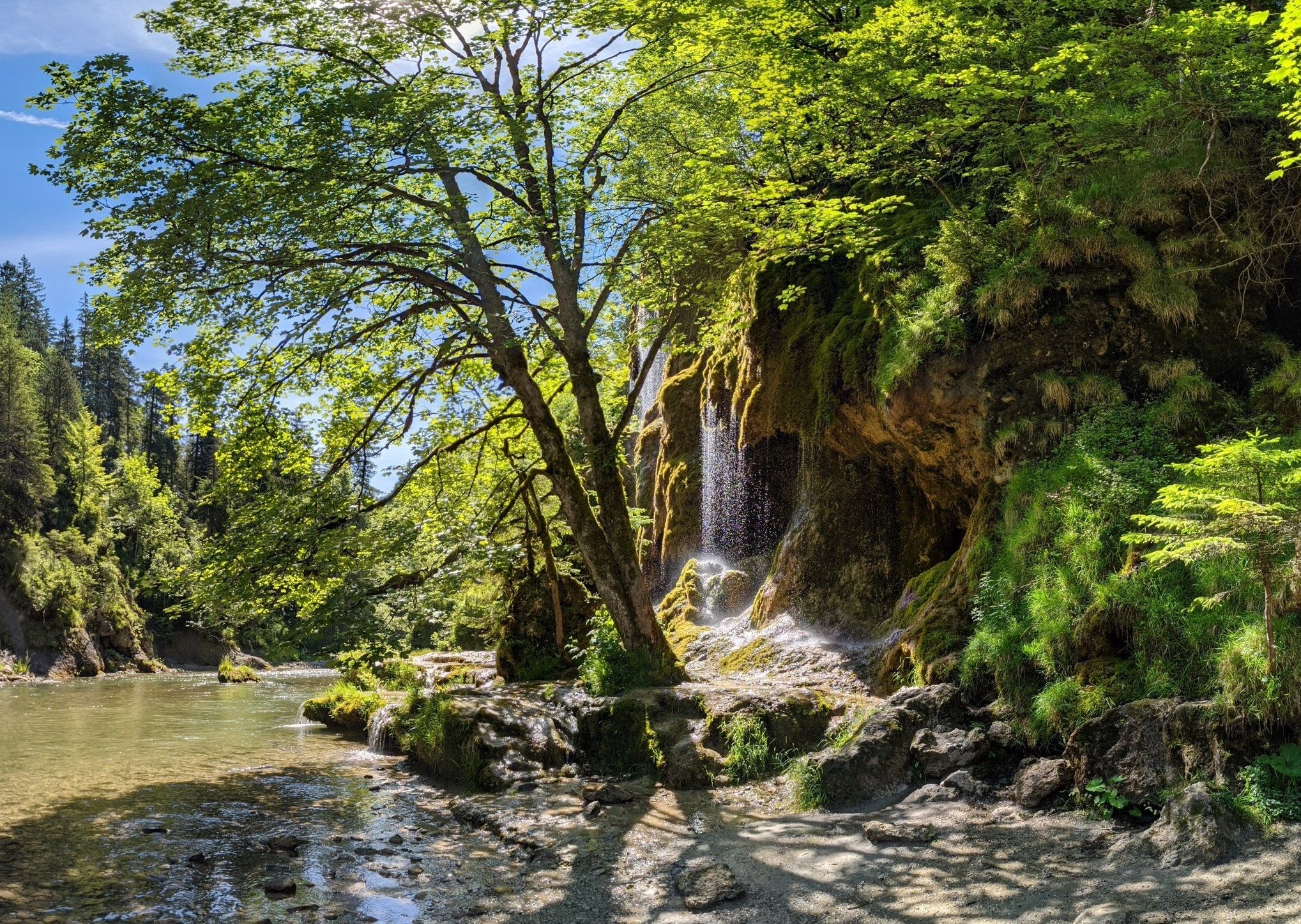
The tuff-forming water cascades near the Soyermühle glow in an impressive light green. They bear a strong resemblance to the well-known, strictly protected Schleierfälle cascades on the Ammer near Unternogg (prohibition of entry punishable by fine!!), but are accessible here without great effort and are freely accessible. ;-)
1
0

A beautiful lake that can be easily circled. There are many benches to rest on, making it suitable for older people too.
0
0

A beautiful vantage point over the town and the lake. Signposted as "Aubichl Viewpoint." Easily accessible via the Trathweg trail.
0
0

The Aibichl viewpoint at an altitude of 861 meters offers a magnificent view of Bad Bayersoien and Lake Soier. However, the ascent and descent are quite steep.
0
0
Frequently Asked Questions
How many bus station hiking trails are there around Bayersoiener Lake?
There are over 200 hiking trails around Bayersoiener Lake that are accessible from bus stations. This includes 93 easy routes, 107 moderate routes, and 15 difficult routes, offering a wide range of options for all fitness levels.
What is the best time to visit Bayersoiener Lake for hiking?
The area around Bayersoiener Lake is beautiful year-round. Spring and autumn offer pleasant temperatures and vibrant colors, while summer is ideal for combining hikes with a refreshing swim in the lake. Even in winter, the landscape has a unique charm, though some paths might require appropriate gear.
Are there easy hiking trails accessible by bus around Bayersoiener Lake?
Yes, there are many easy trails. A popular and accessible option is the scenic lake circuit, which is mostly flat and suitable for a leisurely stroll. An example of an easy route is the Soier See With Mountain View – Soier Lake loop from Bad Bayersoien, which is just over 5 km long.
Are the trails around Bayersoiener Lake suitable for families with children?
Absolutely! The region is very family-friendly. Many trails, like the lake circuit, are flat and accessible for strollers. There are also several educational paths, such as the Naturlehrpfad (Nature Trail) and Vogellehrpfad (Bird Educational Path), designed to engage children. Playgrounds are also available near the lake.
Can I bring my dog on these bus-accessible hikes?
Yes, dogs are generally welcome on the hiking trails around Bayersoiener Lake. Please ensure your dog is kept on a leash, especially in nature protection areas, and remember to clean up after them. Always check local signage for any specific restrictions.
Are there circular hiking routes starting from bus stations?
Many of the routes accessible by bus are circular, allowing you to return to your starting point without retracing your steps. For example, the Rochusfeld – Soier Lake loop from Bad Bayersoien is a moderate circular hike of over 13 km, offering diverse scenery.
What natural features can I expect to see on these hikes?
You'll experience the unique landscape of a moor lake, with its characteristic brown water and surrounding rare high moor biotope. The trails offer stunning views of the Ammergau Alps, including the Bleick and Hörnle peaks. The area is part of a significant landscape protection and FFH area, preserving diverse flora and fauna.
Are there any specific points of interest or attractions along the bus-accessible trails?
Yes, the area is rich in attractions. You can visit the Fischerhäusl at Lake Bayersoien for a break, experience the Moor Kneipp Basin at Soier See, or relax at the Deck Chairs by the Lake. There's also a Moor Educational Path with wooden planks over the high moor and a Barefoot Path for a sensory experience.
Where can I find a place to eat or relax after a hike?
The Fischerhäusl at Lake Bayersoien is an inviting inn with a beer garden located directly by the lake. It offers simple, tasty dishes and homemade cakes, making it a perfect spot to refuel and relax after your hike.
What do other hikers enjoy most about the bus-accessible trails around Bayersoiener Lake?
The area is highly rated by the komoot community, with an average score of 4.58 stars from over 9,600 ratings. Reviewers often praise the serene beauty of the moor landscape, the stunning mountain views, and the well-maintained, accessible paths that cater to various fitness levels. The unique combination of hiking and the option for a refreshing swim in the warm lake is also frequently highlighted.
Can I swim in Bayersoiener Lake after a hike?
Yes, Bayersoiener Lake is known as one of the warmest bathing lakes in Southern Bavaria, making it perfect for a swim. Its waters, rich in humic substances from the surrounding moor, are also considered beneficial for health. There are designated swimming areas and facilities around the lake.
Are there any unique educational paths around Bayersoiener Lake?
Yes, the area boasts several unique educational paths. These include the Naturlehrpfad (Nature Trail) for general flora and fauna, the Moorlehrpfad (Moor Educational Path) which explains the significance of the moor, and the Vogellehrpfad (Bird Educational Path) for birdwatching enthusiasts. There's also a Barfußparcours (Barefoot Path) for a unique sensory experience.
Most popular routes around Bayersoiener Lake
Most popular attractions around Bayersoiener Lake

Get inspired with the komoot mobile app


Explore more
Browse the best Hikes in other regions.
