The best traffic-free bike rides around Dam Muldenberg
4.9
(74)
1,083
riders
9
rides
No traffic road cycling routes around Dam Muldenberg traverse the picturesque Vogtland region, bordering the Western Ore Mountains in Saxony, Germany. The area is characterized by extensive coniferous forests and the central Muldenberg Dam, a significant curved gravity dam. Road cyclists can expect varied terrain, including routes that follow the reservoir, pass through shaded woodlands, and feature views of the surrounding natural landscape. The elevation in the region averages around 800 meters above sea level, offering a mix of ascents…
Last updated: July 13, 2026
6
riders
114km
06:00
2,150m
2,150m
Hard road ride. Very good fitness required. Some segments of this route may be unpaved and difficult to ride.
4.6
(11)
103
riders
50.6km
02:16
450m
450m
Moderate road ride. Good fitness required. Mostly well-paved surfaces and easy to ride.

Sign up for free
11
riders
98.5km
05:05
1,720m
1,720m
Hard road ride. Very good fitness required. Some segments of this route may be unpaved and difficult to ride.
3
riders
119km
05:39
1,460m
1,460m
Hard road ride. Very good fitness required. Mostly well-paved surfaces and easy to ride.
12
riders
Moderate road ride. Great for any fitness level. Some segments of this route may be unpaved and difficult to ride.
Get access to more routes and recommendations from other explorers.
Sign up for free
Already have an account?
Our route recommendations are based on thousands of hikes, rides, and runs completed by other people on komoot.
Start today with a free account
Your next adventure awaits.
Login or Signup
Popular around Dam Muldenberg
Tips from the Community

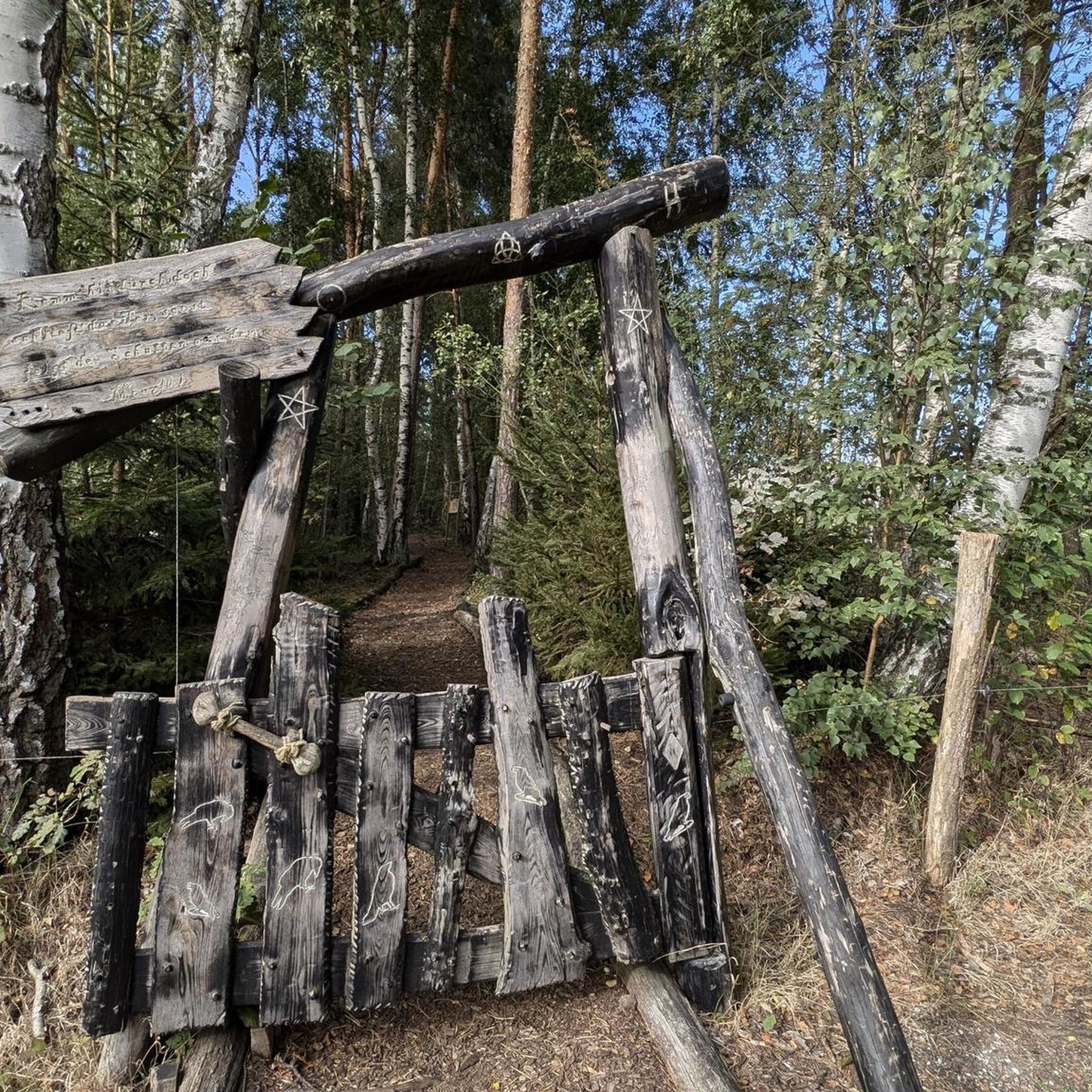
I always take a short break here when I'm out on my racing bike and read something in the book that's lying here. Sometimes it's quite interesting.
0
0

At night, the building is beautifully staged thanks to the lighting.
0
0

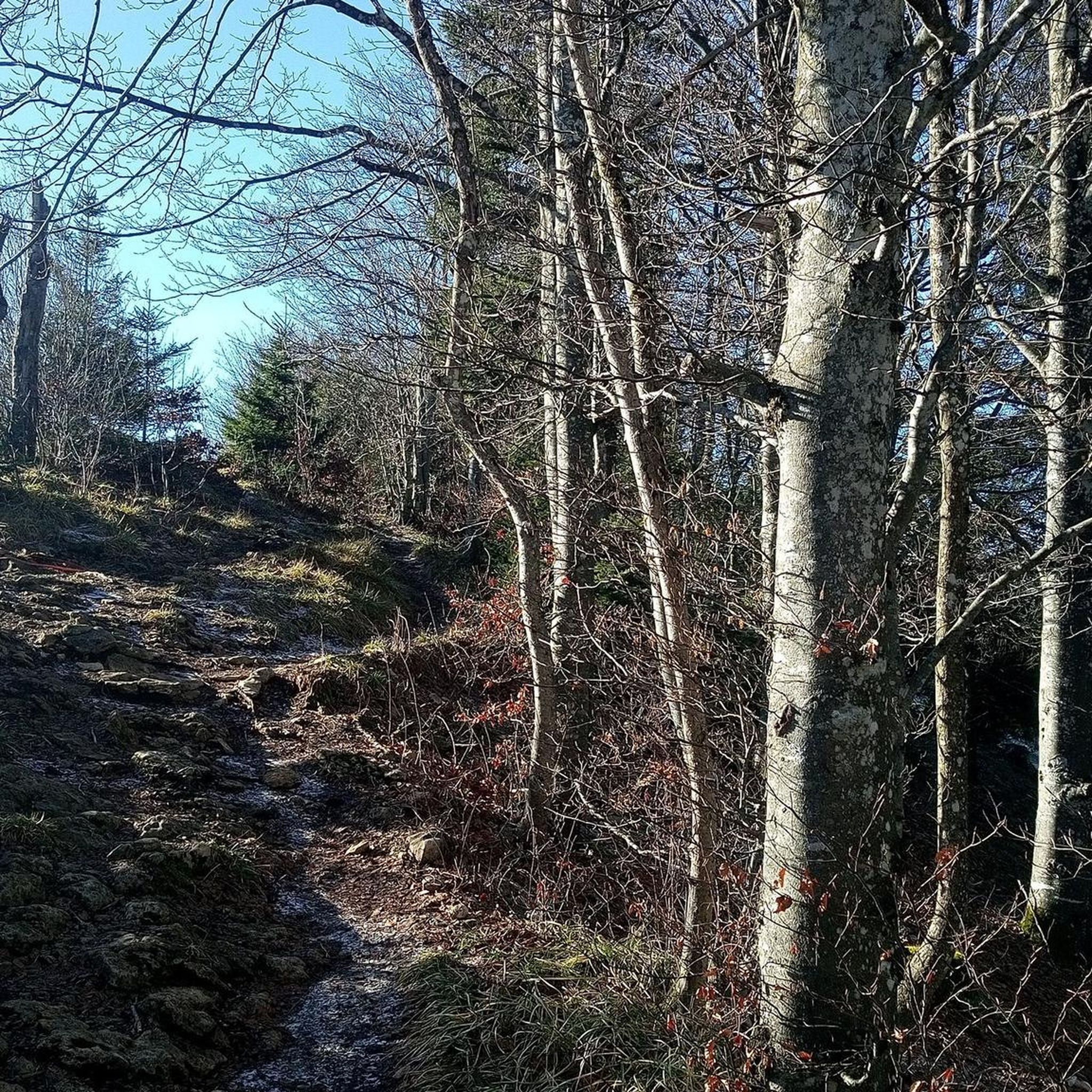
With every step, closer to the summit – the Fichtelberg climb on the Stoneman Miriquidi Road. From the intersection, it's not far anymore, and motivation gets a final boost.
1
0

St. Elisabeth Church was consecrated in 1913. ----------------------------- As the "Mother of the Poor," Elisabeth of Thuringia was known for her helpfulness and charity. Born in Hungary in 1207, the bright princess was at the center of political interest. At just four years old, she was betrothed to the 14-year-old heir to the throne of the Landgrave of Thuringia, Ludwig, and grew up at Wartburg Castle. After their marriage in 1221, Elisabeth gave birth to three children. The stark contrasts between life in the castle and that in the village, between wealth and poverty, contradicted Elisabeth's Christian sensibilities. Based on her faith, she tried to live out her love of God and neighbor in a very concrete way. She wore simple clothes, attended church services without jewelry, fasted and performed daily penances, cared for the poor and sick, nursed lepers, and took in orphans. She was a truly revolutionary figure who also became a bone of contention in court circles.
1
0

The first weather observer on this summit was the innkeeper of the Fichtelberghaus. He recorded his weather observations from 1890 onwards, but from 1898 onwards only intermittently, and from 1910 onwards not at all. The head of the Royal Saxon State Meteorological Observatory, Paul Schreiber, suggested the construction of a permanent weather observatory. Temperature, wind speed, and precipitation amounts have been continuously recorded here since January 1, 1916. The strongest storm recorded here was on January 3, 1976, with a peak gust speed of 216 kilometers per hour. The coldest day on the summit was February 9, 1956, with minus 30.4 degrees Celsius; the warmest was July 27, 1983, with plus 30.8 degrees Celsius. The highest snow cover was measured in March 1944: 3.35 meters. The year 1951 was bad for Fichtelberg tourists: it held the record for foggy days with 315.
13
1

The station is located on the summit next to the Fichtelberghaus, but is not accessible.
5
0
A tree-lined, shady path leads parallel to the White Elster river into the spa gardens of Bad Elster.
12
0

Delicious beer and a snack. I highly recommend it! 5 out of 5 stars!
1
0
Frequently Asked Questions
How many no-traffic road cycling routes are available around Dam Muldenberg?
There are 10 dedicated no-traffic road cycling routes around Dam Muldenberg, offering a variety of distances and elevations for different skill levels.
What kind of terrain and elevation can I expect on these routes?
The region around Dam Muldenberg, nestled in the Vogtland and Western Ore Mountains, offers diverse terrain. While many routes provide relaxing cycling through forests, you can expect some significant elevation changes. For example, routes like the Scenic Forest Road – Vřesoviště Natural Monument loop from Zwota-Zechenbach feature over 2000 meters of ascent, indicating challenging climbs and descents.
Are there any easy no-traffic road cycling routes suitable for beginners or families?
Yes, there is one easy no-traffic road cycling route available. While the majority of routes are moderate to difficult, the area around the Muldenberg Dam itself is known for its relaxing, easy cycling. The bathing pond below the dam also offers a family-friendly spot.
What natural features or landmarks can I see along the no-traffic road cycling routes?
You'll encounter a mix of natural beauty and impressive structures. The central feature is the Muldenberg Reservoir (Muldenberg Dam), a significant engineering marvel. You can also explore the Forebay of the Muldenberg Dam and the Rote Mulde Forebay. The region is also home to the only waterfalls in Vogtland, the Rissfälle, located near Hammerbrücke and Grünbach.
What do other road cyclists think about the no-traffic routes in Dam Muldenberg?
The no-traffic road cycling routes around Dam Muldenberg are highly regarded by the komoot community, with an average rating of 4.9 out of 5 stars from 71 reviews. Cyclists often praise the tranquil forests, the impressive dam structure, and the overall scenic beauty of the Vogtland and Western Ore Mountains.
Are there any circular no-traffic road cycling routes?
Yes, many of the routes are designed as loops, allowing you to start and end at the same point. An example is the Dorfstädter Ponds – Trout pond by the cycle path loop from Falkenstein, which offers a moderate challenge.
What is the best time of year for no-traffic road cycling in Dam Muldenberg?
The region is generally best for cycling from spring through autumn. The extensive coniferous forests provide shade in warmer months, and the dam wall is accessible for walks, offering panoramic views. Always check local weather conditions before heading out, especially as the area is at an altitude of approximately 800 meters.
Where can I park my car when accessing these no-traffic routes?
Parking is generally available near the Muldenberg Dam, which serves as a central point for many routes. Specific parking information for individual routes can often be found in the route descriptions on komoot.
Are there any cafes or places to eat along the no-traffic road cycling routes?
While the routes focus on natural, low-traffic areas, the Muldenberg region has amenities. You can find cafes and restaurants in nearby towns like Hammerbrücke or around the dam area itself, particularly near the bathing pond, which is a popular spot.
Can I reach the no-traffic road cycling routes by public transport?
Muldenberg is accessible by public transport, though options might be more limited than in larger cities. It's advisable to check regional bus and train schedules to plan your journey, especially if you're bringing a bicycle.
Are there any longer, more challenging no-traffic road cycling routes for experienced cyclists?
Absolutely. For experienced cyclists seeking a challenge, routes like the Vřesoviště Natural Monument – Fichtelberg Weather Station loop from Klingenthal offer nearly 100 km of riding with significant elevation gains, providing a demanding yet rewarding experience through the scenic landscape.
Most popular routes around Dam Muldenberg
Most popular attractions around Dam Muldenberg

Get inspired with the komoot mobile app


Explore more
Browse the best Road cycling routes in other regions.
