The best hikes from bus stations around Lünersee
4.6
(6483)
38,665
hikers
62
hikes
Bus station hiking trails around Lünersee offer access to the Rätikon mountains, characterized by rugged limestone cliffs and an alpine lake situated at 1,970 meters above sea level. The region features prominent peaks like Schesaplana, the highest in the Rätikon range, and diverse terrain ranging from lake circuits to high-alpine ascents. Access to the area is facilitated by the Lünerseebahn cable car, which brings visitors directly to the lake.
Best bus station hiking trails around Lünersee
- The most popular bus station hiking route is Lake Lüner – Totalp Hut loop from Lünersee, a 8.6 miles (13.9 km) trail that takes 8 hours to complete. This difficult route features significant elevation gain and views of the lake and surrounding peaks.
- Another top favourite among local hikers is Lake Lüner – Cavelljoch (Gafalljoch) loop from Lünersee, a difficult 9.1 miles (14.7 km) path. This route includes substantial climbing and offers panoramic views towards the Swiss border.
- Local hikers also love the Lake Lüner – View of Lünersee loop from Lünersee, a 6.9 miles (11.1 km) trail leading through alpine landscapes, often completed in about 5 hours 20 minutes.
- Hiking around Lünersee is defined by alpine lake circuits, rugged mountain passes, and high-altitude peaks. The network offers options for various ability levels, from easier lake-side paths to challenging high-alpine routes.
- The routes in Lünersee are highly rated by the komoot community with an average score of 4.6 stars from more than 6,200 reviews. More than 37,000 hikers have used komoot to explore Lünersee's varied terrain.
Last updated: June 29, 2026
4.8
(309)
1,858
hikers
13.9km
08:01
1,330m
1,330m
Hard hike. Very good fitness required. Sure-footedness, sturdy shoes and alpine experience required.
4.9
(149)
682
hikers
14.7km
07:02
1,020m
1,020m
Hard hike. Very good fitness required. Sure-footedness, sturdy shoes and alpine experience required.

Sign up for free
4.9
(128)
606
hikers
11.1km
05:21
820m
820m
Hard hike. Very good fitness required. Sure-footedness, sturdy shoes and alpine experience required.
4.9
(38)
234
hikers
8.32km
04:39
770m
770m
Hard hike. Good fitness required. Sure-footedness, sturdy shoes and alpine experience required.
4.9
(34)
238
hikers
10.1km
05:49
930m
930m
Hard hike. Very good fitness required. Sure-footedness, sturdy shoes and alpine experience required.
Get access to more routes and recommendations from other explorers.
Sign up for free
Already have an account?
Our route recommendations are based on thousands of hikes, rides, and runs completed by other people on komoot.
Start today with a free account
Your next adventure awaits.
Login or Signup
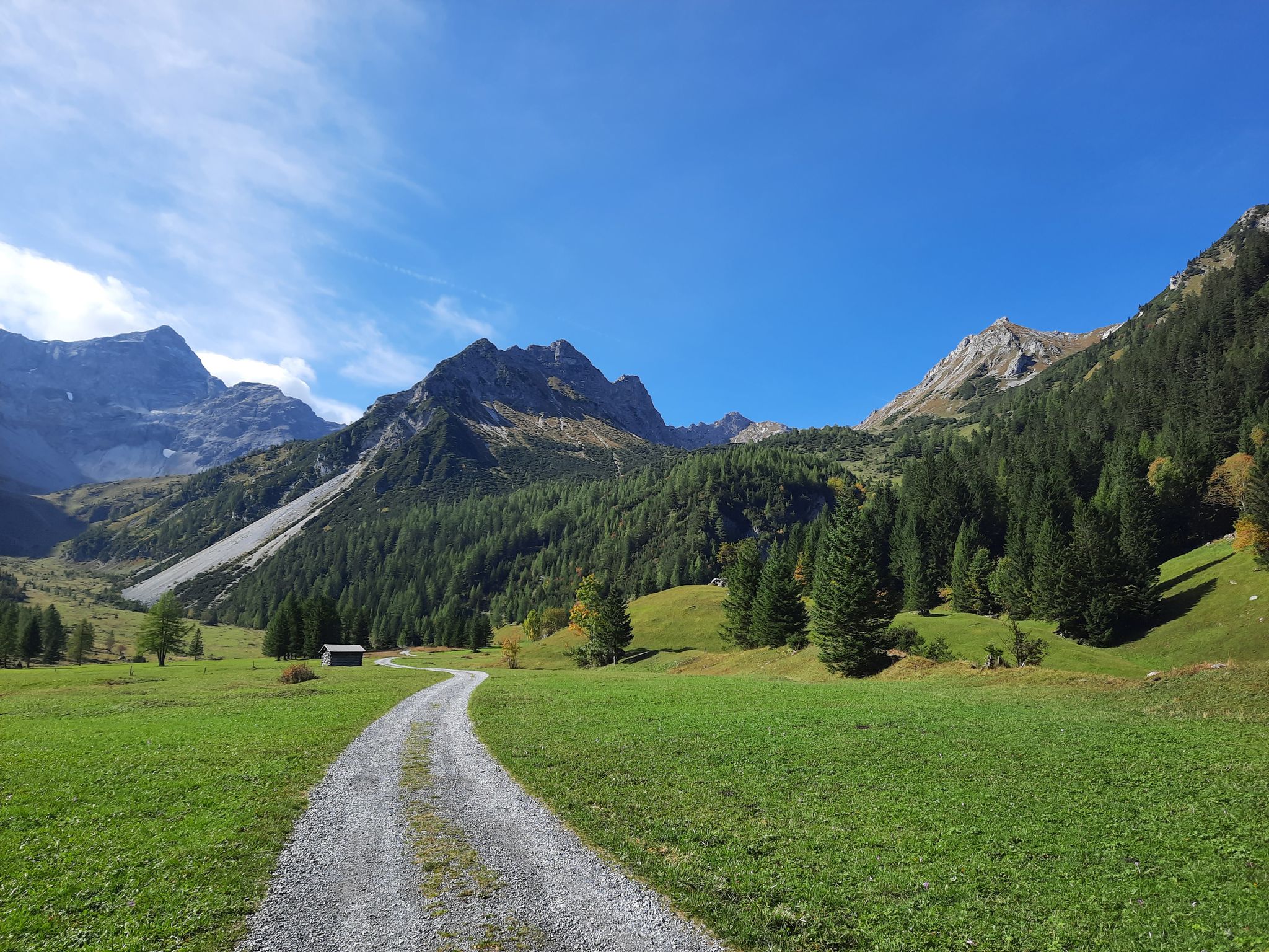
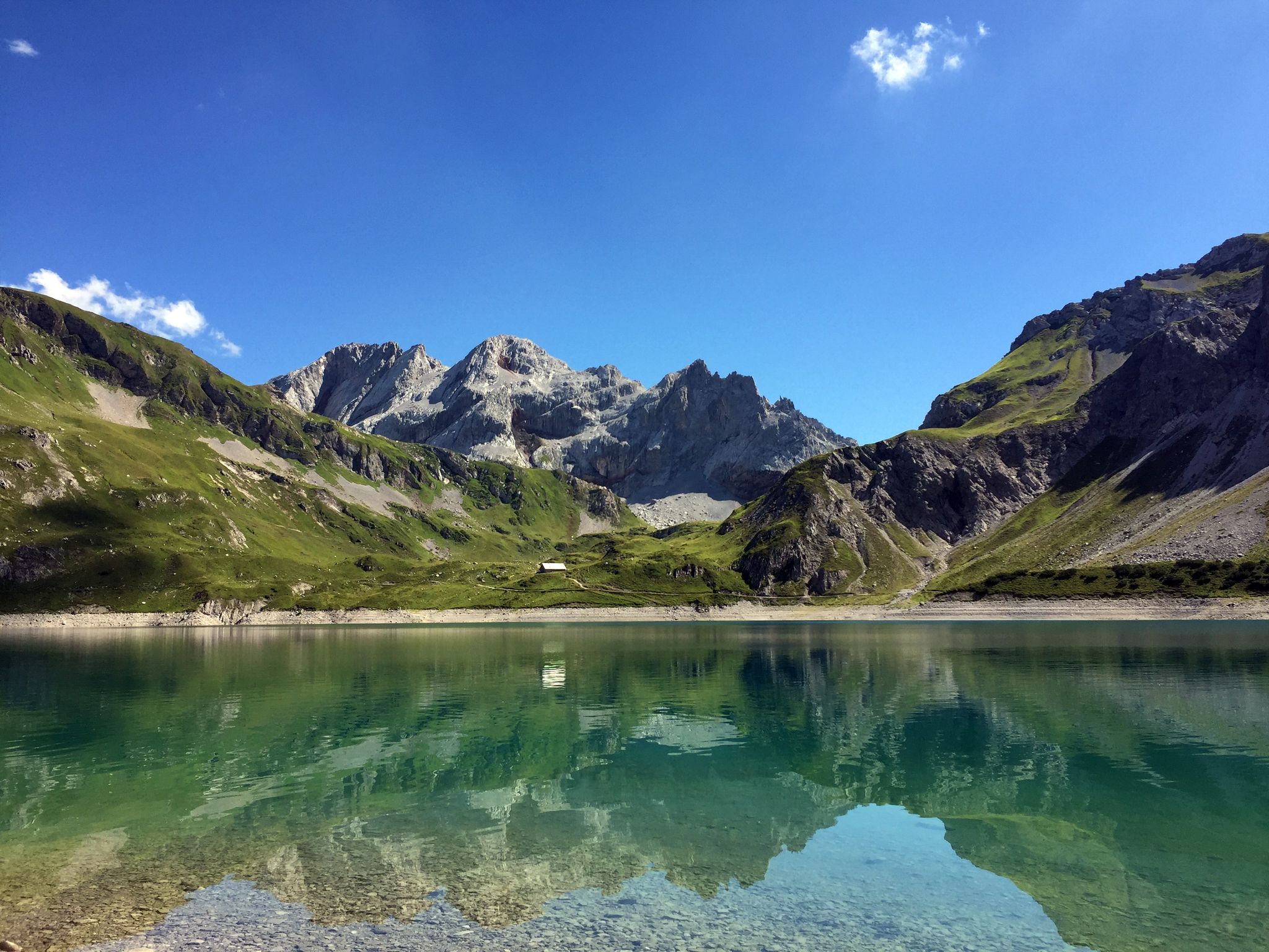
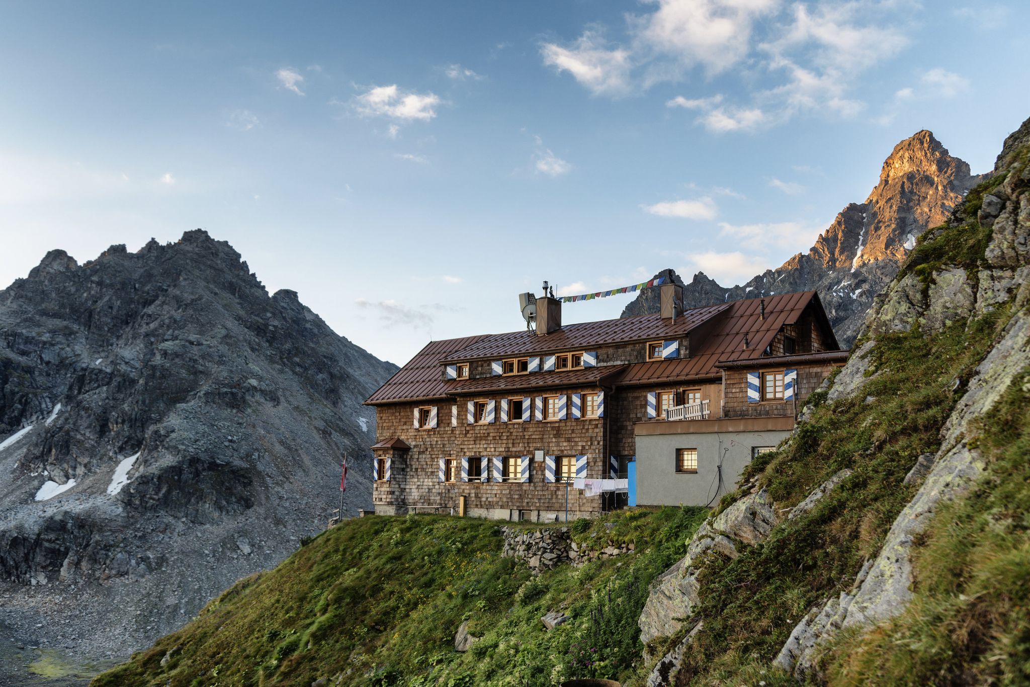
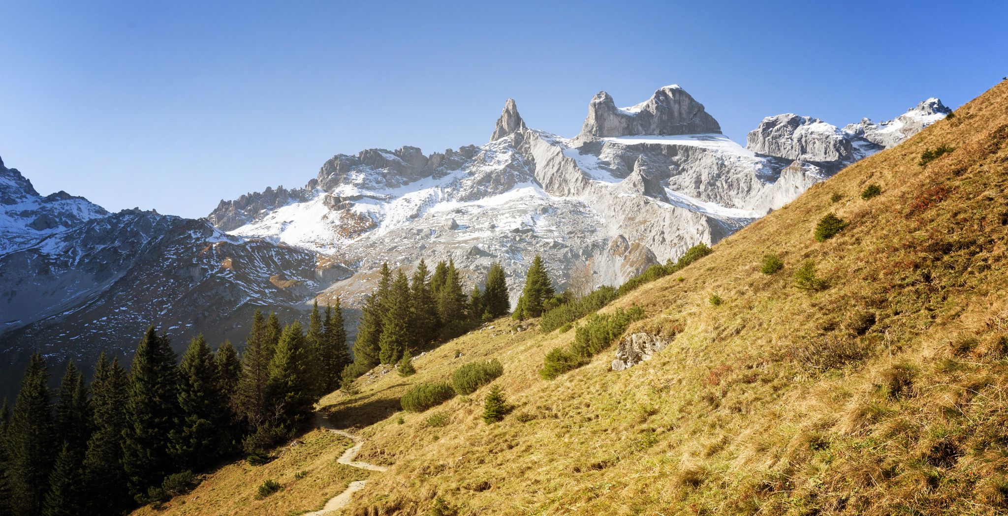

Other adventures around Lünersee


Tips from the Community

In June, take the cable car up at 9:00 AM - Magical in sunshine
0
0

Always epic to see the lake, go around it or do mountain tours with a view of it
0
0


Surefootedness and a head for heights are important; otherwise, you don't need any special equipment.
0
0

Lake Lünersee lies peacefully in its basin, framed by steep cliffs and the mighty peaks of Schesaplana, Seekopf, and Gipsköpfle. The contrast between the shimmering water and the gray limestone of the surrounding mountains is particularly striking. The mood changes depending on the time of day: In the morning, the lake is often still and mirror-smooth, with delicate wisps of mist; at midday, the water glows an intense turquoise, almost Caribbean. In the evening, the setting sun bathes the scenery in warm gold, while the first shadows slowly creep across the water.
0
0
Lake Lünersee lies peacefully in its basin, framed by steep cliffs and the mighty peaks of Schesaplana, Seekopf, and Gipsköpfle. The contrast between the shimmering water and the gray limestone of the surrounding mountains is particularly striking. The mood changes depending on the time of day: In the morning, the lake is often still and mirror-smooth, with delicate wisps of mist; at midday, the water glows an intense turquoise, almost Caribbean. In the evening, the setting sun bathes the scenery in warm gold, while the first shadows slowly creep across the water.
0
0

Frequently Asked Questions
How many bus station hiking trails are available around Lünersee?
There are over 60 hiking trails around Lünersee that are accessible from bus stations. These routes cater to various fitness levels, including easy, moderate, and challenging options.
What types of trails can I expect when hiking from bus stations in the Lünersee region?
The Lünersee region offers a diverse range of trails accessible by bus, from easy strolls around the lake to challenging high-alpine ascents. You'll find paths leading through stunning alpine landscapes, past the turquoise Lünersee, and into the rugged Rätikon mountains. Many routes offer panoramic views and opportunities to visit mountain huts.
Are there any easy, family-friendly hikes accessible by bus around Lünersee?
Yes, the region offers several easy hikes suitable for families. The classic circular trail around Lünersee itself is a great option, offering relatively flat terrain and stunning views. While many routes from bus stations tend to be more challenging, there are 18 easy routes in total in the area, some of which are accessible via the Lünerseebahn cable car, which is reachable by bus.
Can I find circular hiking routes starting from a bus station near Lünersee?
Absolutely. Many routes in the Lünersee area are designed as circular trails, allowing you to return to your starting point without retracing your steps. For example, the challenging Lake Lüner – Cavelljoch (Gafalljoch) loop offers a full day's adventure, bringing you back to the Lünersee area.
What are some notable natural features or landmarks I can see on bus-accessible hikes around Lünersee?
The centerpiece is the stunning Lünersee itself, often called the 'turquoise gem of the Rätikon.' You'll also encounter the majestic peaks of the Rätikon mountains. Along many routes, you can visit mountain huts like the Douglass Hut right by the lake or the Totalphütte higher up, offering refreshments and panoramic views.
What is the best time of year to hike from bus stations in the Lünersee region?
The best time for hiking around Lünersee is generally from late June to early October. During this period, trails are typically snow-free, and the Lünerseebahn cable car, which provides easy access to the lake from the bus stop, is operational. This ensures optimal conditions for enjoying the diverse routes.
Are there any challenging multi-day or hut-to-hut options accessible by bus from Lünersee?
While this guide focuses on day hikes, Lünersee serves as an excellent starting point for more ambitious multi-day hut-to-hut treks within the Rätikon mountains. Many of the challenging routes, such as the Lake Lüner – Totalp Hut loop, can be integrated into longer tours, with mountain huts providing accommodation.
What do other hikers enjoy most about the bus-accessible trails around Lünersee?
The bus-accessible trails around Lünersee are highly rated by the komoot community, with an average score of 4.6 stars from over 6,200 ratings. Reviewers often praise the breathtaking alpine scenery, the striking turquoise color of the lake, and the well-maintained paths that lead to stunning viewpoints and cozy mountain huts.
Are there any specific viewpoints or panoramic spots reachable via bus-accessible trails?
Yes, many trails offer incredible viewpoints. For instance, the Lake Lüner – View of Lünersee loop provides spectacular vistas of the lake and surrounding peaks. Hikes towards areas like Schafgafall or Cavelljoch (Gafalljoch) also reward hikers with sweeping panoramas over the entire Lünersee and the Rätikon Alps.
Are dogs allowed on the hiking trails accessible by bus around Lünersee?
Generally, dogs are welcome on hiking trails in the Lünersee region. However, it's always advisable to keep them on a leash, especially in areas with grazing livestock or protected wildlife. Be mindful of specific regulations for cable cars or mountain huts if you plan to use them with your dog.
What kind of elevation gain can I expect on bus station hikes around Lünersee?
The elevation gain varies significantly depending on the trail's difficulty. While easy routes around the lake have minimal elevation changes, more challenging routes can involve substantial ascents. For example, the Saulajoch Pass – Saulajoch Trail loop, a difficult route, features an elevation gain of over 900 meters.
Are there any trails that lead to the Swiss border from Lünersee?
Yes, for those seeking a unique experience, some trails from the Lünersee area lead towards the Swiss border. The hike to Gafalljoch, for instance, is a medium-difficulty route that takes you to the border, offering divine views into Switzerland and back towards Lünersee.
Most popular attractions around Lünersee

Get inspired with the komoot mobile app


Explore more
Browse the best Hikes in other regions.
