The best hikes from bus stations around Silvretta-Stausee
4.6
(4728)
23,720
hikers
28
hikes
Bus station hiking trails around Silvretta-Stausee navigate a high-alpine environment characterized by rugged mountains and glacial peaks. The region features a large man-made reservoir with turquoise water, set against a backdrop of glaciated summits, including Piz Buin. The Bielerhöhe Pass serves as a central starting point for many routes, offering access to diverse terrain. Natural waterfalls and pristine alpine landscapes define the area's hiking experience.
Best bus station hiking trails around Silvretta-Stausee
- The most popular bus station hiking route is…
Last updated: June 29, 2026
4.9
(256)
1,140
hikers
15.6km
06:13
670m
670m
Hard hike. Very good fitness required. Sure-footedness, sturdy shoes and alpine experience required.
4.9
(239)
998
hikers
14.9km
05:07
550m
550m
Hard hike. Very good fitness required. Mostly accessible paths. Sure-footedness required.

Sign up for free
4.6
(33)
167
hikers
14.3km
04:19
390m
390m
Moderate hike. Good fitness required. Mostly accessible paths. Sure-footedness required.
4.8
(44)
227
hikers
14.3km
05:51
770m
770m
Hard hike. Very good fitness required. Sure-footedness, sturdy shoes and alpine experience required.
4.8
(71)
351
hikers
18.8km
05:20
420m
420m
Hard hike. Very good fitness required. Easily-accessible paths. Suitable for all skill levels.
Get access to more routes and recommendations from other explorers.
Sign up for free
Already have an account?
Our route recommendations are based on thousands of hikes, rides, and runs completed by other people on komoot.
Start today with a free account
Your next adventure awaits.
Login or Signup
Popular around Silvretta-Stausee

Min Weag long-distance hiking trail – From Lake Constance to the Alps
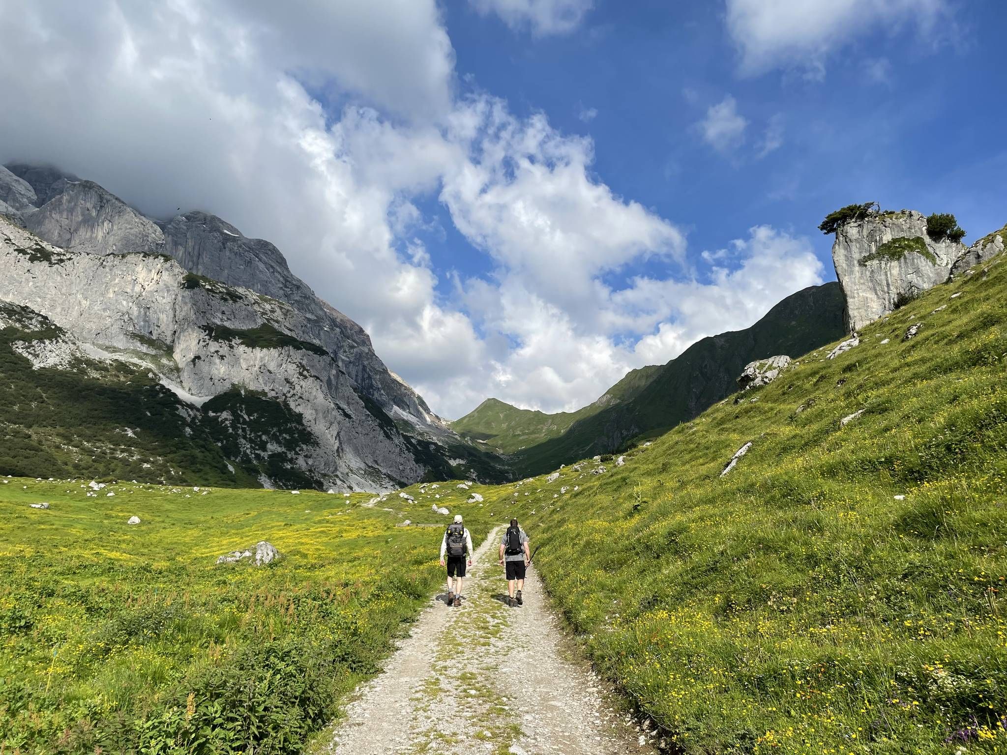
Montafon Hut-to-Hut Hiking Trail – 13 days in Western Austria
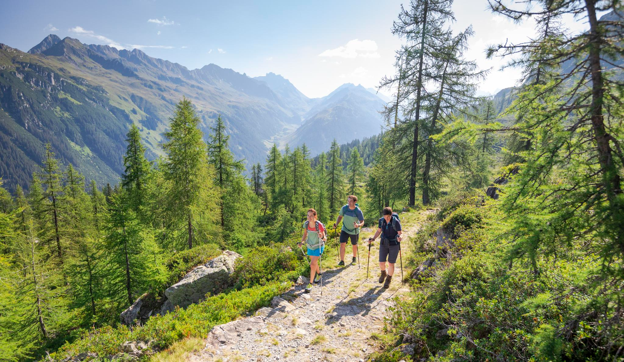
Between Maisäß and Alpe – hiking in Montafon
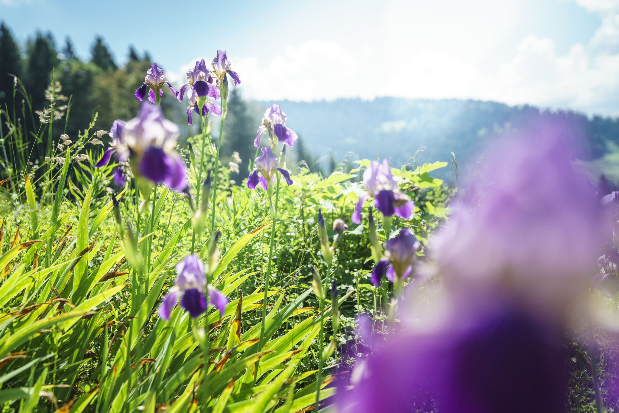
Between moors, meadows and glaciers – discover Vorarlberg's natural beauty
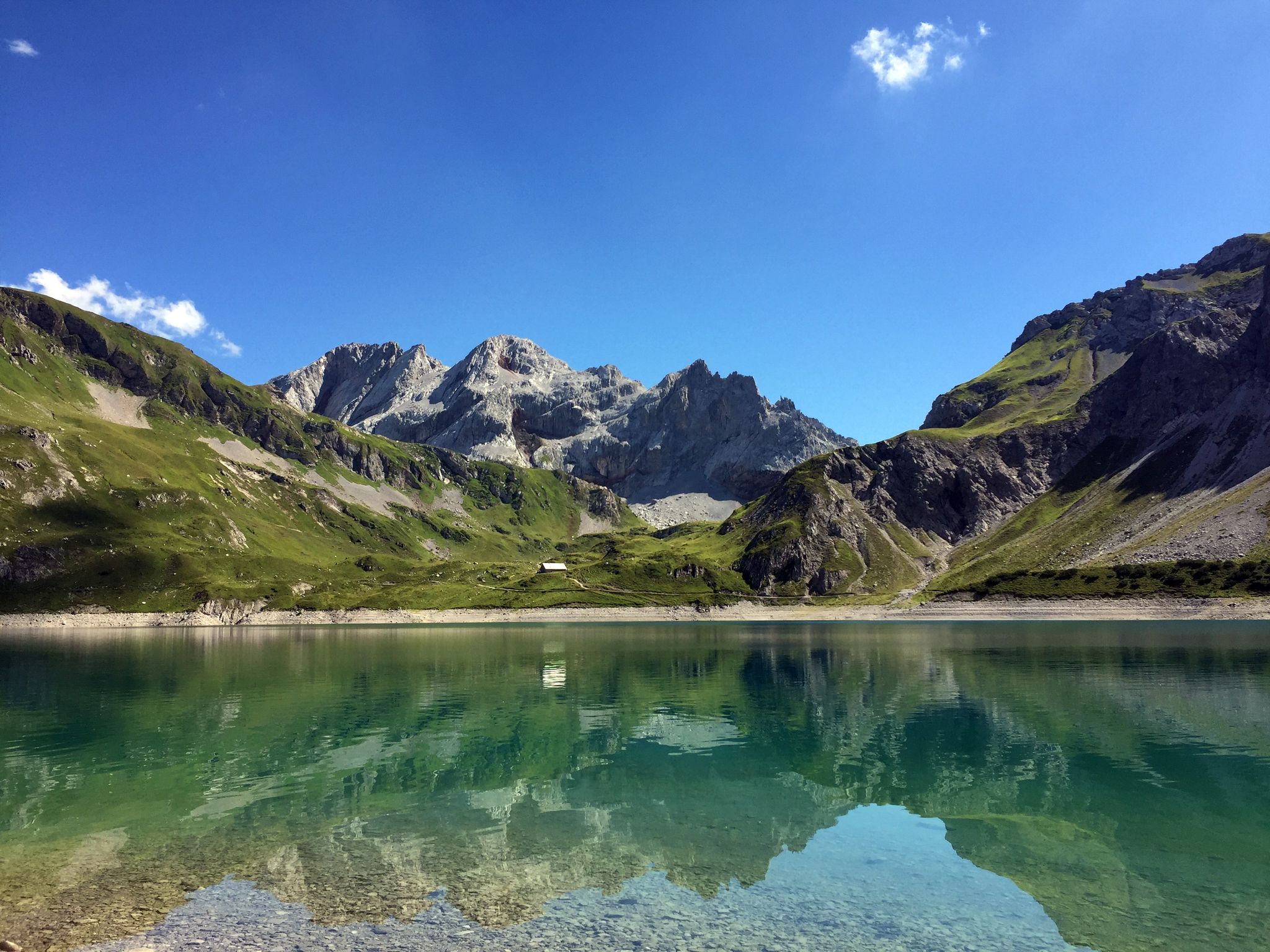
Mighty mountains and historic cities – hiking in Austria
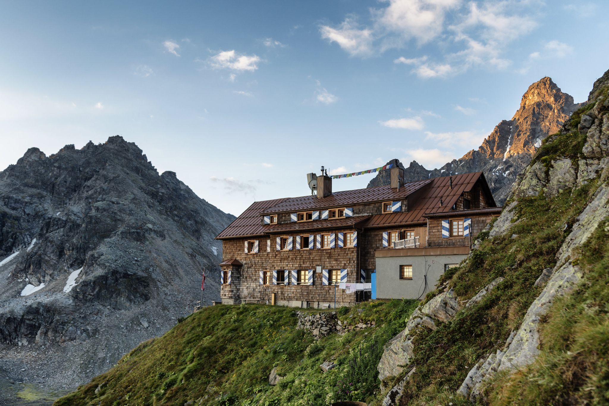
Alpenmosaik Montafon - The Montafoner Hüttenrunde
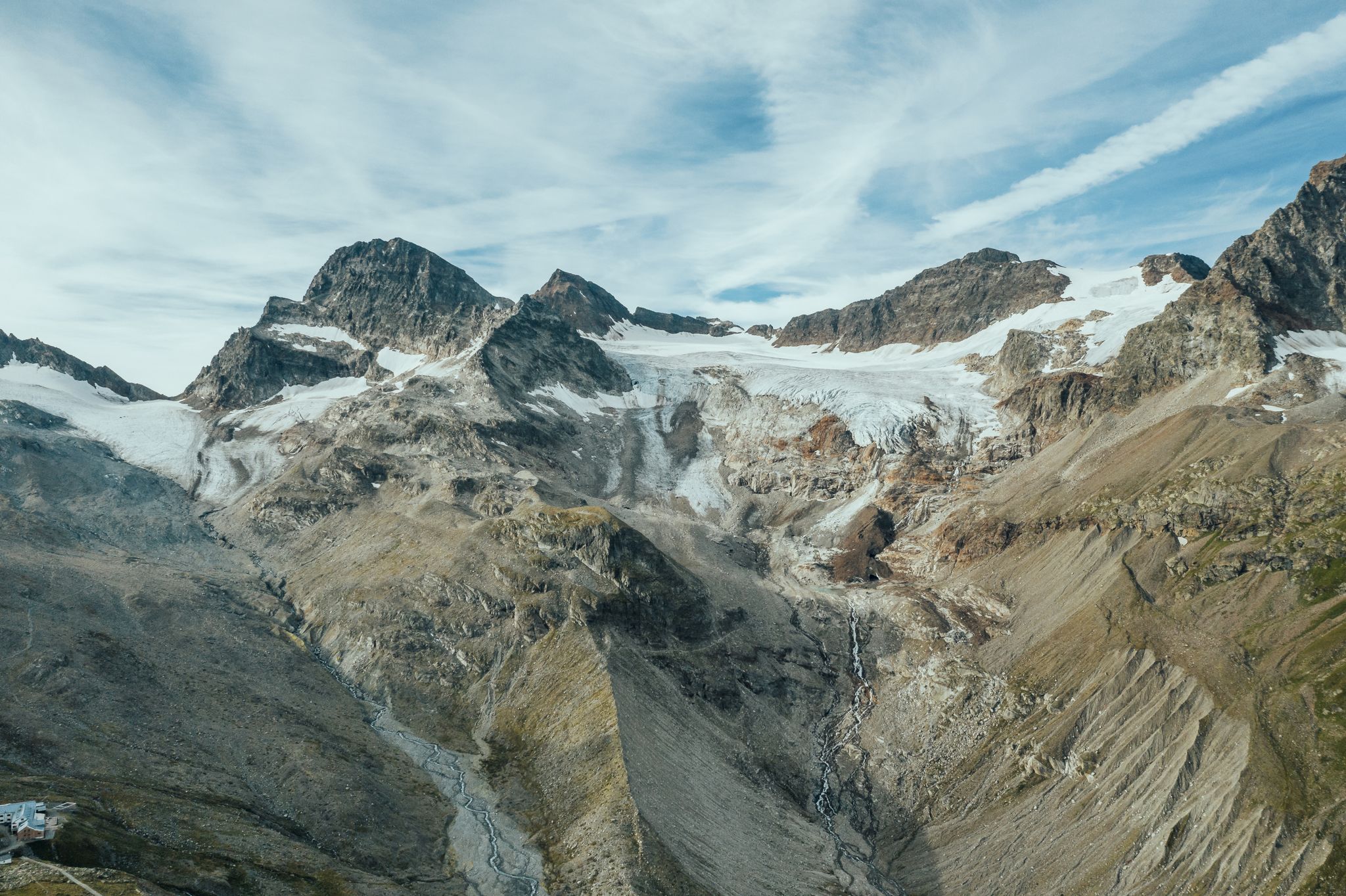
Alpine Mosaic Montafon — Austria’s Silvretta adventure area
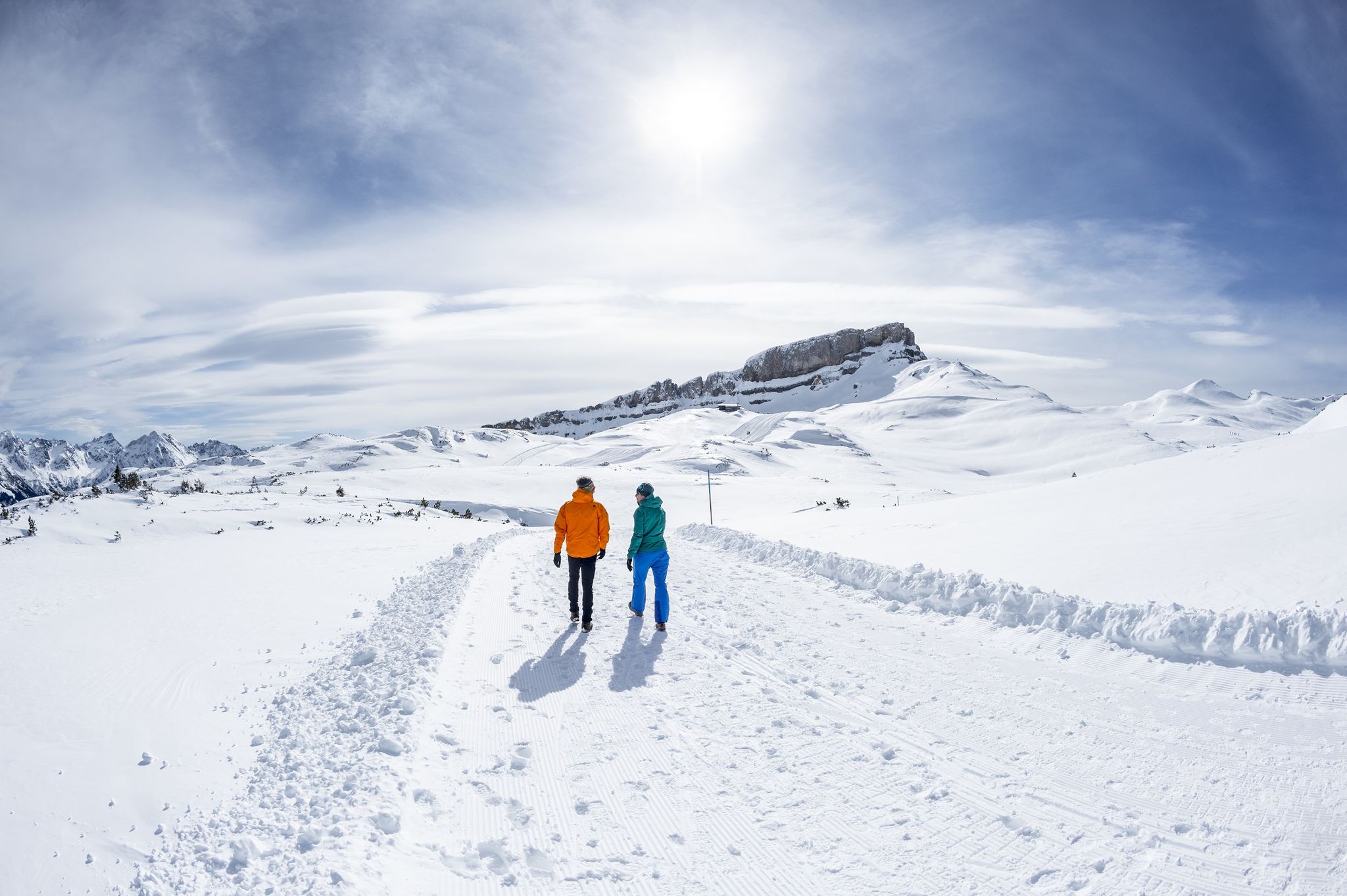
On white paths – winter hikes in Vorarlberg
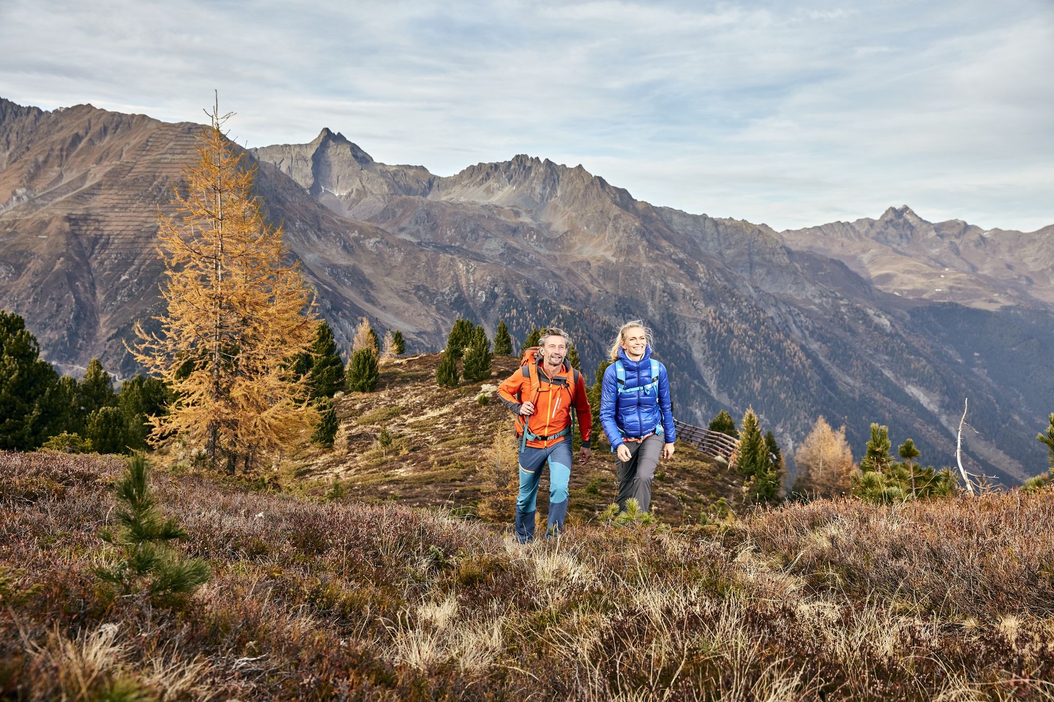
Golden Summits – Autumn in Austria’s Paznaun-Ischgl region
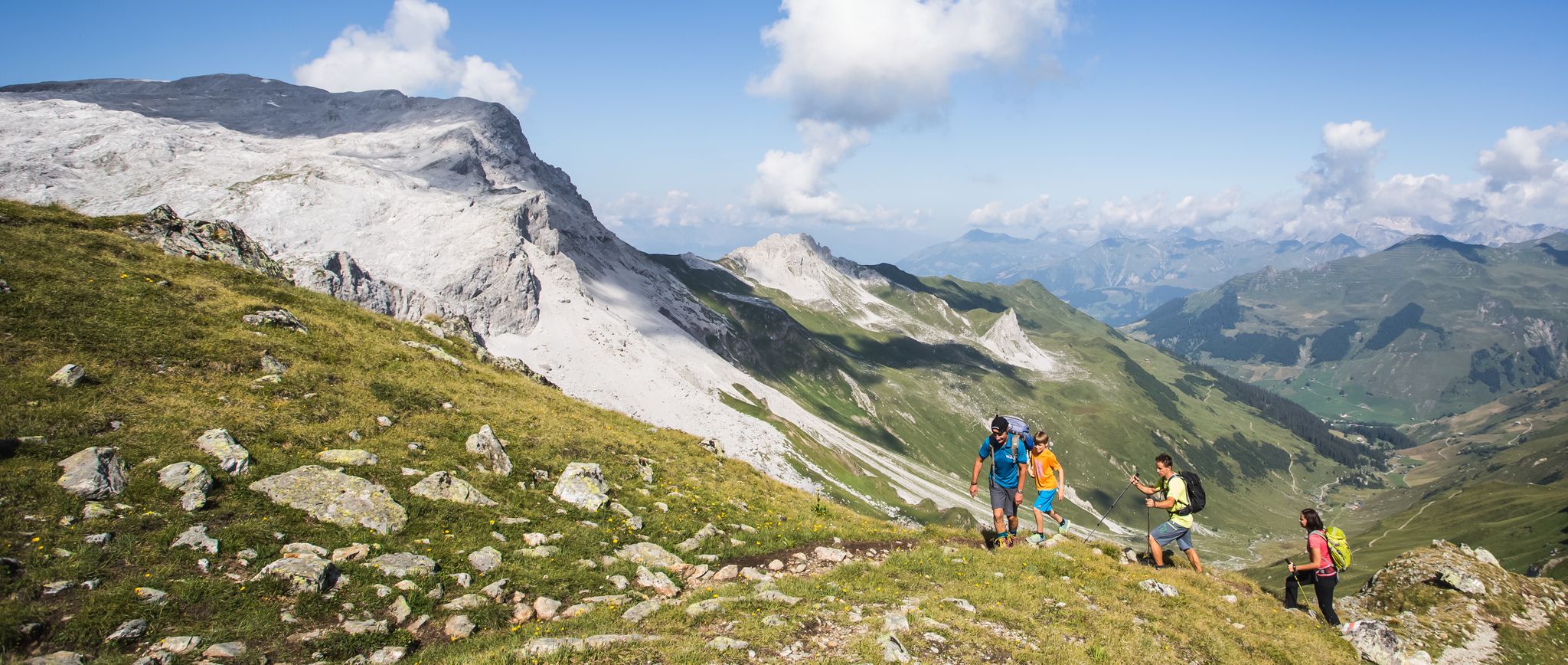
Hiking the most beautiful trails up in the Montafon mountains
Other adventures around Silvretta-Stausee


Tips from the Community


Very nice inn... Friendly staff...
0
1
Laps can be completed in about 2 hours. Very good to run.
0
0

The trail from the Silvretta Reservoir to the Wiesbadener Hut through the Biel Valley and over the Radsattel is somewhat more challenging than the direct route, but significantly more scenic. Hiking boots are recommended here (especially in the upper section, where you occasionally cross scree fields), but otherwise, no special equipment is required.
0
1


There is a marked winter hiking trail around the lake. However, it is only partially groomed and therefore very suitable for snowshoes.
5
0

Turn-off to the Klostertaler Umwelthütte
0
0
Frequently Asked Questions
How many bus-accessible hiking trails are available around Silvretta-Stausee?
There are over 25 bus-accessible hiking trails around Silvretta-Stausee, offering a wide range of options from easy strolls to challenging high-alpine expeditions. The region is well-served by public transport, making it easy to start your adventure directly from a bus stop.
Are there any easy or family-friendly hikes accessible by bus from Silvretta-Stausee?
Yes, the most popular and accessible option is the circular path around the Silvretta-Stausee itself. This easy, approximately 6.3 km route is often stroller-friendly and offers continuous stunning views of the turquoise lake and surrounding mountains. It's perfect for families and beginners, starting directly from the Bielerhöhe bus stop.
What kind of natural features can I expect to see on hikes from the bus station?
The region is renowned for its dramatic high-alpine landscapes. You'll encounter the stunning turquoise waters of the Silvretta-Stausee, rugged mountains, and glaciated peaks like Piz Buin. Many trails also feature natural waterfalls, such as the Bielbach waterfall with art installation, and offer panoramic views from high-altitude passes like the Bielerhöhe.
Are there any circular hikes that start and end at a bus station?
Absolutely. A fantastic circular option is the Circular route around the Hohe Rad. This challenging 15.6 km trail offers epic high-alpine scenery and views of retreating glaciers, starting conveniently from the Bielerhöhe bus stop. Another option is the Glacier view loop at the Silvretta Reservoir, which is also a challenging circular route.
What do other hikers enjoy most about hiking in Silvretta-Stausee?
The area is highly rated by the komoot community, with an average score of 4.6 stars. Reviewers often praise the breathtaking high-alpine scenery, the striking turquoise color of the Silvretta-Stausee, and the well-maintained trails that offer diverse experiences, all easily accessible via public transport from the Bielerhöhe.
Can I reach mountain huts or refuges via bus-accessible trails?
Yes, you can embark on a challenging hike to the Wiesbadener Hütte. The Wiesbadener Hut – Ascent to Wiesbadener Hütte loop from Bielerhöhe is a demanding 14.3 km route that starts from the Bielerhöhe bus stop and leads to this mountain refuge, which serves as a base for further climbs into the mountains.
Are there any specific viewpoints or landmarks to look out for on these trails?
Definitely! From the bus station at Bielerhöhe, you're already at a prime location. Along the trails, you'll get incredible views of the Silvretta Reservoir Dam and the majestic Piz Buin. Don't miss the Rock ledge viewpoint for panoramic vistas, and the unique Art Space 2032 — Silvretta Art Tunnel near the dam.
What is the best time of year to hike from the bus stations around Silvretta-Stausee?
The best time for hiking in the high-alpine region around Silvretta-Stausee is typically from late spring (June) to early autumn (September/October). During these months, the Silvretta High Alpine Road is open, allowing bus access to Bielerhöhe, and the trails are generally free of snow, offering pleasant temperatures and stunning views.
Are there any longer, more challenging bus-accessible routes for experienced hikers?
For experienced hikers, several challenging routes are accessible by bus. Besides the Hohes Rad and Glacier View loops, consider the demanding Silvretta Reservoir – Saarbrücker Hut loop from Bielerhöhe, a 14.2 km route with significant elevation gain. These trails offer extensive high-alpine experiences and stunning vistas.
Can I find places to eat or drink near the bus stops after my hike?
Yes, the Bielerhöhe, which serves as the main bus hub for the Silvretta-Stausee area, has facilities including restaurants and cafes. You can enjoy refreshments and meals there after your hike, often with spectacular views of the surrounding mountains and the reservoir.
Are there any trails that offer views of glaciers from the bus station?
Yes, the region is known for its impressive glacial landscape. The Glacier view loop at the Silvretta Reservoir is specifically designed to showcase these natural wonders, offering views of retreating glaciers. Many other high-alpine trails starting from Bielerhöhe also provide glimpses of the surrounding glaciated peaks.
Most popular routes around Silvretta-Stausee
Most popular attractions around Silvretta-Stausee

Get inspired with the komoot mobile app


Explore more
Browse the best Hikes in other regions.
