The best hikes from bus stations around Kleiner Plansee
4.5
(21328)
109,731
hikers
290
hikes
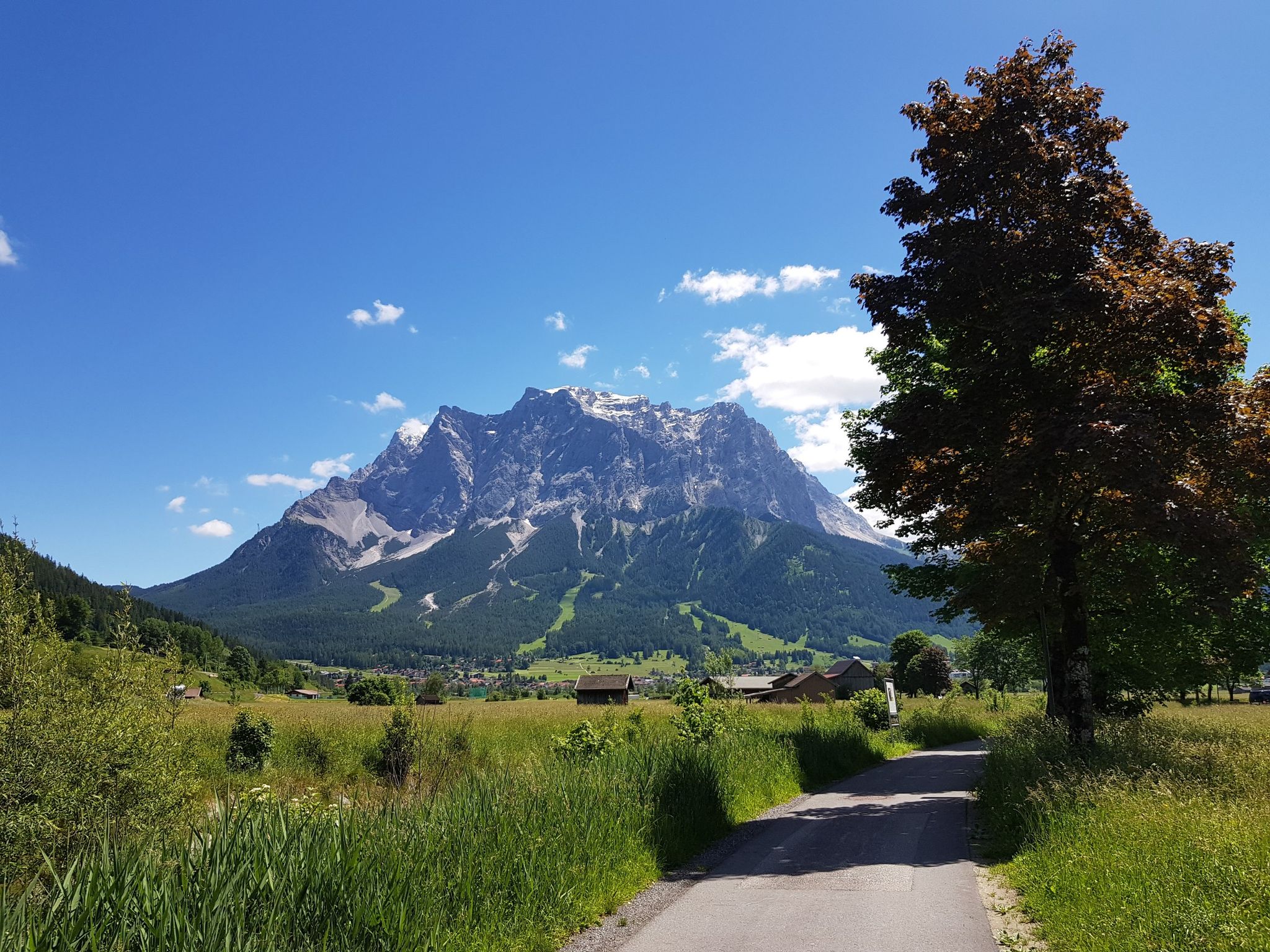
Bus station hiking trails around Kleiner Plansee are set within the Tyrolean Alps, characterized by crystal-clear mountain lakes and diverse alpine surroundings. The region features lush forested paths, dramatic mountain ranges like the Lechtal Alps, and varied terrain from accessible lakeside paths to demanding ascents. This landscape offers a comprehensive network of trails for different hiking preferences.
Best bus station hiking trails around Kleiner Plansee
- The most popular bus station hiking route is View of the Plansee – View of…
Last updated: October 15, 2026
4.7
(243)
1,161
hikers
10.5km
05:32
840m
840m
Hard hike. Very good fitness required. Sure-footedness, sturdy shoes and alpine experience required.
4.7
(399)
1,410
hikers
8.10km
02:22
140m
140m
Moderate hike. Good fitness required. Mostly accessible paths. Sure-footedness required.

4.8
(25)
89
hikers
6.71km
01:48
80m
80m
Easy hike. Great for any fitness level. Easily-accessible paths. Suitable for all skill levels.
4.8
(1103)
4,087
hikers
Moderate hike. Good fitness required. Easily-accessible paths. Suitable for all skill levels.
4.4
(9)
31
hikers
Moderate hike. Good fitness required. Easily-accessible paths. Suitable for all skill levels.
Get access to more routes and recommendations from other explorers.
Already have an account?
Our route recommendations are based on thousands of hikes, rides, and runs completed by other people on komoot.
Start today with a free account
Your next adventure awaits.
Popular around Kleiner Plansee
Other adventures around Kleiner Plansee

Tips from the Community

From the Seespitzbrücke bridge, the path to the Heiterwangersee lake is very very narrow
0
0

Not entirely easy to reach, but absolutely worth it. Great views!
6
0
The summit of the Tauern, at 1,841 m, is the highest point of the Tauern massif. The views are, of course, fantastic. A wonderful place to pause.
5
0
The Grätle is a bit exposed, but the view is simply stunning (not to be taken literally here!).
6
0
A very elegant bridge spans the narrow point between Plansee and Kleiner Plansee here.
3
0

A very interesting path to the lake. It leads through beautiful landscapes between the mountains. Particularly impressive is the beautiful new cycle path that leads up the mountain to the Plansee. And of course the lake itself with its beautiful turquoise color.
0
0

Beautiful wide, easily walkable path...great for running...great viewpoints of the lake
1
0

Pleasant ascent, descent annoying as shit but worth it. At the top so much braking that it just cracks but snack is possible a few meters before the summit. You can also call it Bremsenkopf, wow. Otherwise, only to be recommended. Best regards
2
1
Frequently Asked Questions
How many hiking trails around Kleiner Plansee are accessible directly from a bus station?
There are over 290 hiking routes around Kleiner Plansee that are easily accessible from bus stations, offering a wide range of options for all skill levels. This includes 150 easy, 99 moderate, and 44 difficult trails.
What kind of terrain can I expect on bus-accessible hikes around Kleiner Plansee?
The terrain varies significantly. You can find easily accessible paths that hug the lake shores, offering continuous views of the crystal-clear waters. More challenging trails lead into the surrounding Lechtal, Ammergau, and Wetterstein Alps, featuring significant elevation gain and panoramic vistas. Expect a mix of lush forested paths and open alpine sections.
Are there any family-friendly hiking routes from bus stops near Kleiner Plansee?
Yes, many routes are suitable for families. Trails along the lake shores are generally flatter and shorter. An excellent option is the View of the Plansee – Plansee loop from Kleiner Plansee, which is rated as easy and offers beautiful lakeside views.
Can I bring my dog on the hiking trails around Kleiner Plansee?
Yes, the Kleiner Plansee region is generally dog-friendly. Many trails are suitable for hiking with dogs, especially those along the lake and through forested areas. Always ensure your dog is on a leash where required and be mindful of other hikers and wildlife. Check local regulations for specific areas.
Are there any circular hiking routes that start and end at a bus station?
Absolutely. Many of the trails are designed as loops, allowing you to start and finish at the same bus stop. For example, the moderate Stuiben Falls – Stuiben Falls loop from Kleiner Plansee offers a scenic circular experience, including a visit to the impressive Stuiben Falls.
What natural features or landmarks can I see on these bus-accessible hikes?
The region is rich in natural beauty. You'll encounter the stunning turquoise waters of Kleiner Plansee, Plansee, and Heiterwanger See. Notable landmarks include the Seespitz Bridge Between Plansee and Heiterwanger See, which connects the lakes, and the impressive Stuiben Falls. Many routes also offer panoramic views of the surrounding Alps.
What is the best time of year to hike around Kleiner Plansee using public transport?
The best time for hiking is typically from late spring to early autumn (May to October). During these months, the weather is generally pleasant, trails are clear, and bus services are frequent. Autumn offers particularly beautiful foliage. While winter hiking is possible, some routes may be closed or require special equipment, and bus schedules might be reduced.
Are there any challenging hikes accessible by bus from Kleiner Plansee?
Yes, for experienced hikers seeking a challenge, there are several difficult routes. The View of the Plansee – View of Zunterkopf loop from Kleiner Plansee is a demanding trail with significant elevation gain, rewarding you with spectacular panoramic views of the lake and mountains.
What do other hikers enjoy most about the bus-accessible trails in Kleiner Plansee?
The area is highly rated by the komoot community, with an average score of 4.58 stars. Reviewers often praise the stunning turquoise lakes, the diverse landscapes ranging from lakeside strolls to alpine ascents, and the convenience of accessing trailheads directly from public transport. The well-maintained paths and breathtaking views are frequently highlighted.
Are there options to combine hiking with other activities, like boat trips, from bus stops?
Yes, the lakes offer opportunities to combine hiking with other activities. You can shorten some lakeside hikes by taking a boat trip across Plansee or Heiterwanger See. The lakes are also popular for swimming, fishing, and stand-up paddleboarding, making it easy to integrate these into your day trip from a bus-accessible trailhead.
Can I find food and drink options near the bus station trailheads?
Yes, the Kleiner Plansee area, being a popular tourist destination, has various cafes, restaurants, and guesthouses, particularly around the main lake areas and bus stops. You'll find places to refuel or enjoy a meal before or after your hike, often with scenic views of the lake.
Most popular routes around Kleiner Plansee
Most popular attractions around Kleiner Plansee

Get inspired with the komoot mobile app


Explore more
Browse the best Hikes in other regions.
