Réserve naturelle nationale du Haut-Rhône français
Réserve naturelle nationale du Haut-Rhône français
The best traffic-free bike rides around Réserve naturelle nationale du Haut-Rhône français
4.6
(12)
67
riders
9
rides
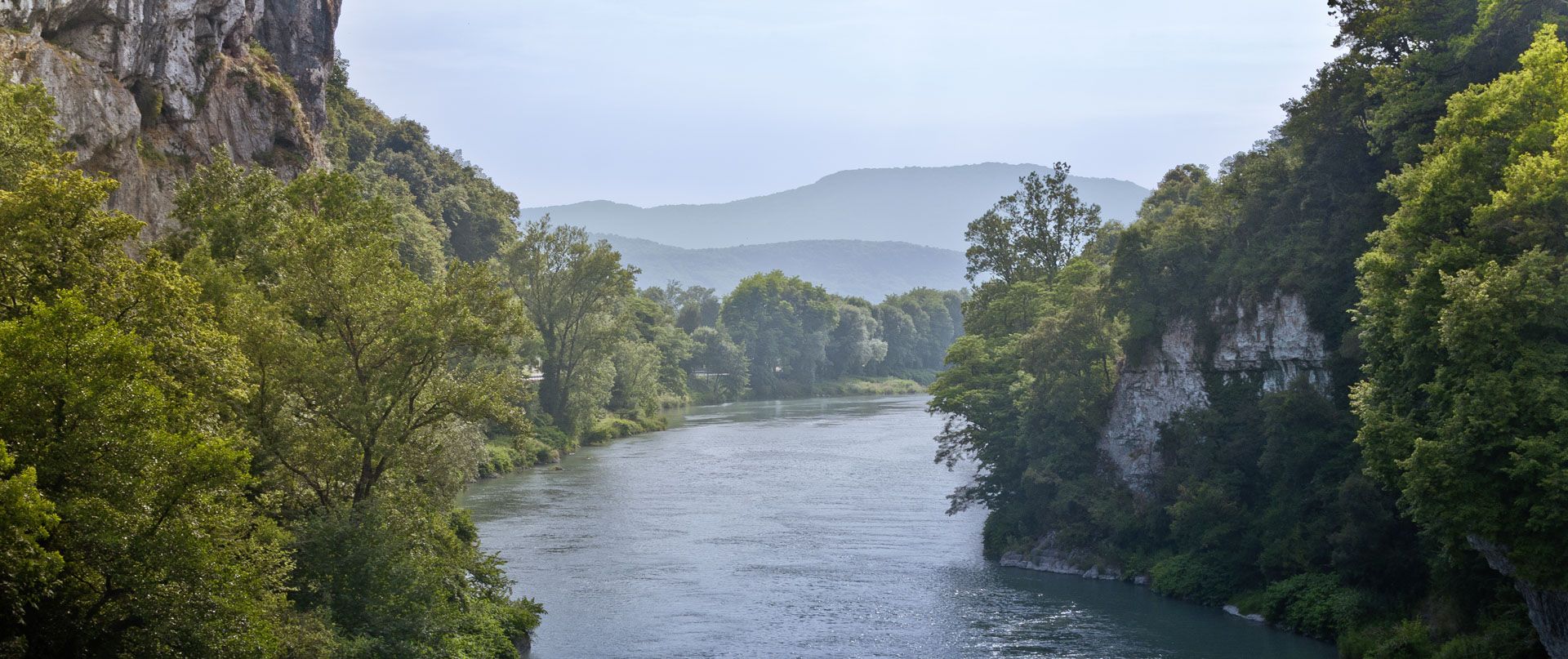
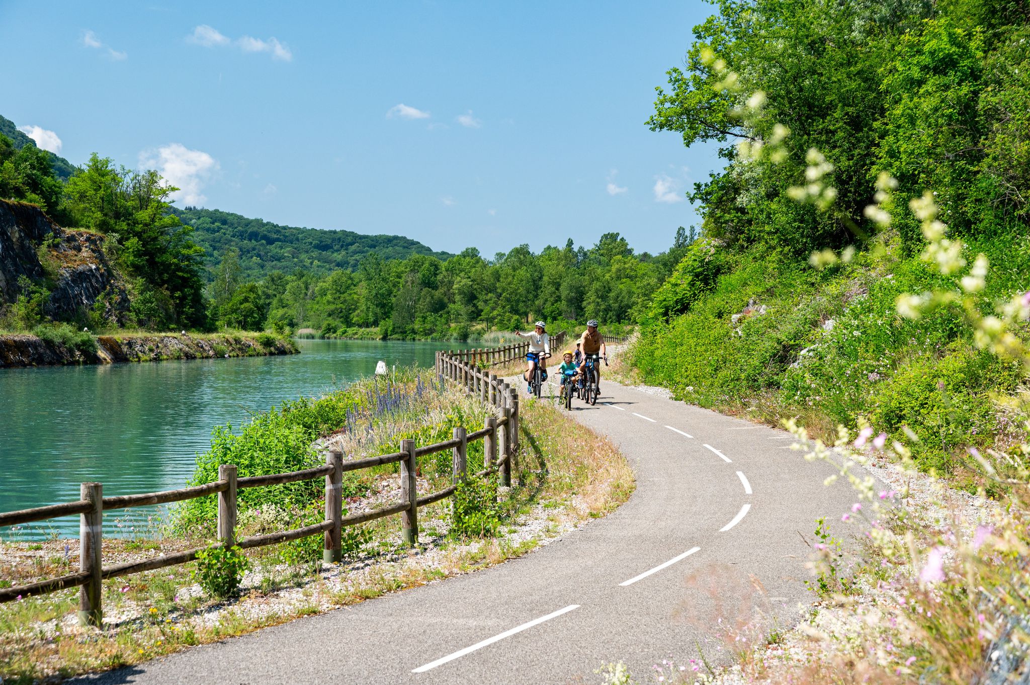
No traffic gravel bike trails around Réserve naturelle nationale du Haut-Rhône français traverse a unique landscape characterized by its extensive riverine environments and lush alluvial forests. The region features a network of diverse paths along the Rhône River, its tributaries, and through wetlands, including "lônes" (old river branches) and fluvial islands. This terrain offers varied surfaces, from wide, flat paths along canals to routes through forests and meadows, making it well-suited for gravel biking.
Best no traffic gravel bike trails around Réserve naturelle nationale du Haut-Rhône français
- The most popular no traffic gravel bike trail is Virignin footbridge – Virignin la Balme footbridge loop from Brangues, a 45.7 miles (73.5 km) trail that takes 4 hours 52 minutes to complete. This route offers a moderate challenge through the diverse riverine landscape.
- Another top favourite among local gravel bikers is Groslée Bridge – Lac de Barterand loop from Murs-et-Gélignieux, a moderate 30.3 miles (48.9 km) path. It features varied terrain along waterways and through natural areas, providing scenic views.
- Local gravel bikers also love the Cordon Bridge – Lac de Barterand loop from Aoste, a 11.0 miles (17.7 km) trail leading through riverine landscapes and past Lac de Barterand, often completed in about 1 hour 10 minutes.
- Gravel biking around Réserve naturelle nationale du Haut-Rhône français is defined by riverine environments, extensive alluvial forests, and wetlands. The network offers options for easy, moderate, and difficult ability levels.
- The routes in Réserve naturelle nationale du Haut-Rhône français are highly rated by the komoot community with an average score of 4.6 stars from more than 20 reviews. More than 200 gravel bikers have used komoot to explore Réserve naturelle nationale du Haut-Rhône français's varied terrain.
Last updated: August 22, 2026
5.0
(7)
39
riders
Moderate gravel ride. Good fitness required. Mostly paved surfaces. Suitable for all skill levels.
4.3
(6)
15
riders
44.3km
02:33
150m
150m
Moderate gravel ride. Good fitness required. Mostly paved surfaces. Suitable for all skill levels.

Sign up for free
5.0
(1)
5
riders
17.7km
01:08
70m
70m
Easy gravel ride. Great for any fitness level. Mostly paved surfaces. Suitable for all skill levels.
5
riders
48.3km
02:48
450m
440m
Moderate gravel ride. Good fitness required. Mostly paved surfaces. Suitable for all skill levels.
4.0
(2)
8
riders
32.9km
02:03
200m
190m
Moderate gravel ride. Good fitness required. Mostly paved surfaces. Suitable for all skill levels.
Get access to more routes and recommendations from other explorers.
Sign up for free
Already have an account?
Our route recommendations are based on thousands of hikes, rides, and runs completed by other people on komoot.
Start today with a free account
Your next adventure awaits.
Login or Signup
Popular around Réserve naturelle nationale du Haut-Rhône français


Other adventures around Réserve naturelle nationale du Haut-Rhône français


Tips from the Community

The Via Rhona in the direction of Belley. Magnificent cycle path
1
0

here I replenished my drink supply again
0
0
a very nice section for us cyclists
0
0


Beautiful cycle path, mostly shaded, unpaved but rideable (I ride it with 23mm tires), which follows the old line of the Chemin de Fer de l'Est Lyonnais (CFEL)
0
0

A beautiful section along the Rhone.
0
0

A nice little village, ideal for a break
0
0
Unfortunately I did not see this cow statue
0
0
Frequently Asked Questions
How many no-traffic gravel bike trails are available in the Réserve naturelle nationale du Haut-Rhône français?
There are 10 dedicated no-traffic gravel bike trails listed in this guide for the Réserve naturelle nationale du Haut-Rhône français. These routes offer a variety of distances and difficulties, ensuring a suitable option for most riders.
What kind of terrain can I expect on gravel bike trails in the Haut-Rhône français reserve?
The terrain in the Réserve naturelle nationale du Haut-Rhône français is diverse, featuring wide, peaceful paths along canals, through extensive alluvial forests, and across meadows. You'll encounter a mix of surfaces, often described as not muddy and easy to ride, with some sections on dedicated cycling paths like the ViaRhôna. The region's unique 'lônes' (old river branches) and islands also add varied terrain for exploration.
Are there any easy no-traffic gravel routes suitable for beginners or families?
Yes, there is an easy route perfect for beginners or families. The Cordon Bridge – Lac de Barterand loop from Aoste is 17.7 km long with minimal elevation gain, offering a gentle introduction to gravel biking in the reserve. The area's generally flat paths along rivers and through forests are ideal for a relaxed ride.
What do other gravel bikers enjoy most about the Réserve naturelle nationale du Haut-Rhône français?
The komoot community highly rates the gravel biking experience here, with an average score of 4.6 stars from 28 ratings. Riders frequently praise the tranquil, natural environment, the diverse landscapes ranging from riverside paths to lush alluvial forests, and the well-suited terrain for gravel bikes. The absence of traffic is a significant highlight, allowing for peaceful and immersive rides.
Can I find longer, more challenging gravel bike routes in the reserve?
Absolutely. For those seeking a greater challenge, routes like the 96.9 km Savière Canal – Savière Canal loop from Groslée-Saint-Benoit or the 72.3 km Groslée Bridge – Virignin footbridge loop from Groslée-Saint-Benoit offer more extensive distances and elevation changes, providing a demanding yet rewarding experience through the reserve's varied landscapes.
What are the best times of year to go gravel biking in the Haut-Rhône français reserve?
The Réserve naturelle nationale du Haut-Rhône français is generally pleasant for gravel biking from spring through autumn. Spring brings blooming flora and mild temperatures, while autumn offers beautiful fall foliage. Summer is also suitable, though it can be warmer, making early morning or late afternoon rides ideal. The paths are typically not muddy, making them accessible in various conditions.
Are there any circular gravel routes available in the Réserve naturelle nationale du Haut-Rhône français?
Yes, many of the gravel routes in this guide are circular, allowing you to start and end at the same point. Examples include the moderate 48.8 km Groslée Bridge – Lac de Barterand loop from Murs-et-Gélignieux and the longer 73.5 km Virignin footbridge – Virignin la Balme footbridge loop from Brangues. These loops are great for exploring the diverse landscapes without retracing your steps.
What natural features or wildlife might I encounter while gravel biking in the reserve?
The reserve is known for its exceptional biodiversity and diverse river landscapes. You might encounter a rich variety of fauna and flora, including red kites, European beavers, and crested newts, especially in the wetland areas and islands. The unique 'lônes' (dead arms of the river), alluvial forests, and gravel banks create a dynamic environment for nature observation.
Are there specific regulations or considerations for cycling within the Réserve naturelle nationale du Haut-Rhône français?
As a protected natural reserve and part of the Natura 2000 network, it's important to respect the environment. Stick to marked paths, do not disturb wildlife, and carry out all your waste. While specific cycling regulations beyond general park rules are not detailed, maintaining a low impact and preserving the tranquility of the area is always encouraged. For more general information about the reserve, you can visit balconsdudauphine-tourisme.com.
What are the typical distances for no-traffic gravel bike trails in this region?
The no-traffic gravel bike trails in the Réserve naturelle nationale du Haut-Rhône français vary significantly in length. You can find shorter, easy routes around 17 km, moderate options in the 40-70 km range, and longer, more challenging rides extending up to nearly 100 km. This variety allows you to choose a route that matches your desired distance and fitness level.
Most popular routes around Réserve naturelle nationale du Haut-Rhône français

Get inspired with the komoot mobile app


Explore more
Browse the best Gravel rides in other regions.
