The best city hikes and walks around Leudal
4.4
(9353)
38,049
hikers
49
hikes
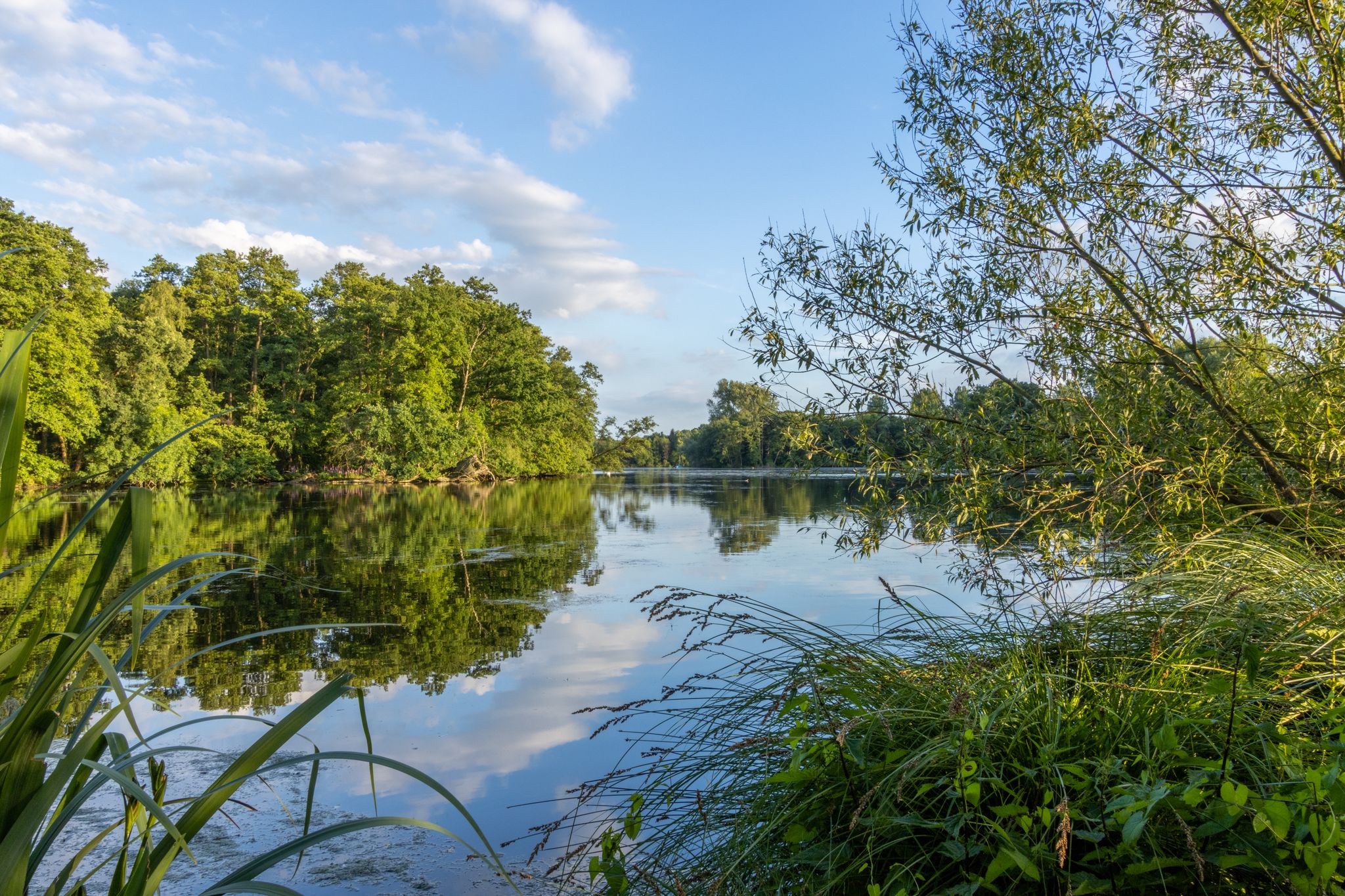
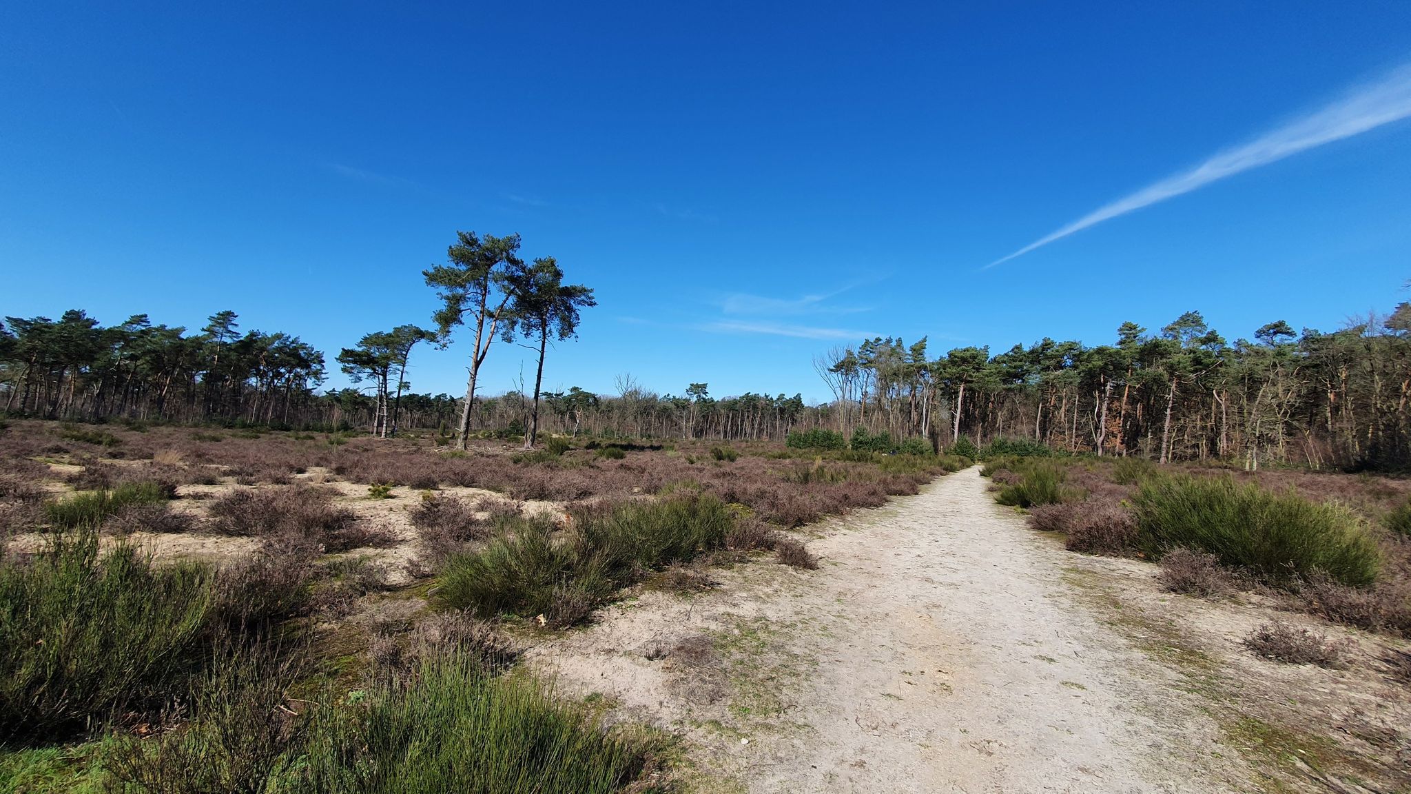
Urban hiking trails around Leudal traverse a region characterized by diverse natural landscapes and historical features. The area features stream valleys carved by the Zelsterbeek and Leubeek, extensive deciduous forests, and open heathlands. Hikers can explore varied ecosystems and encounter historical sites like ancient watermills. The Litsberg sand dune offers panoramic views of the surrounding countryside, adding to the varied terrain.
Best urban hiking trails around Leudal
- The most popular urban hiking route is Eetcafé De Tump – Heythuysen Town…
Last updated: June 28, 2026
4
hikers
1.88km
00:28
0m
0m
Easy hike. Great for any fitness level. Easily-accessible paths. Suitable for all skill levels.
4.6
(15)
231
hikers
4.12km
01:03
20m
20m
Easy hike. Great for any fitness level. Easily-accessible paths. Suitable for all skill levels.

Sign up for free
8
hikers
3.76km
00:57
10m
10m
Easy hike. Great for any fitness level. Easily-accessible paths. Suitable for all skill levels.
4.5
(57)
572
hikers
5.11km
01:18
20m
20m
Easy hike. Great for any fitness level. Easily-accessible paths. Suitable for all skill levels.
5.0
(7)
27
hikers
Easy hike. Great for any fitness level. Easily-accessible paths. Suitable for all skill levels.
Get access to more routes and recommendations from other explorers.
Sign up for free
Already have an account?
Our route recommendations are based on thousands of hikes, rides, and runs completed by other people on komoot.
Start today with a free account
Your next adventure awaits.
Login or Signup


Tips from the Community

The Vismarkt (Fish Market) in Roermond is one of the oldest and most characteristic places in the historic city center. As the name suggests, this square was traditionally the center of the fish trade, a logical consequence of Roermond's location on the Roer and Meuse rivers. The Vismarkt is therefore a direct reminder of a time when water and trade were inextricably linked. The square is located a short distance from the river and was part of the city's economic heart. Here, fishermen, traders, and residents gathered to trade fresh fish, but also to exchange news and socialize. The proximity of the water ensured that fish could be delivered quickly, making the Vismarkt a vibrant and important hub in daily city life. Over the centuries, the Vismarkt's function changed, but the square retained its central role. Today, it is an atmospheric urban space with historic buildings, restaurants, and terraces. Its original commercial function has given way to a place for meeting and relaxing, but its name and location continue to evoke the past.
0
1
The Akcros paint factory was one of the earliest and most important industrial companies in Roermond. Established in 1869 along the banks of the Roer River in what later became the Willem-Alexanderhaven area, the factory produced paint and related chemical products for construction and industry. Its location directly on the water allowed the factory to import raw materials and export products via the river, a major logistical advantage at the time. During the late 19th and early 20th centuries, Akcros grew into a major employer in Roermond. The factory served not only as a production and trading center but also as part of the major wave of industrialization in Limburg. Workers from the city and surrounding area found work there, and the company's presence contributed to the city's urbanization and social development. After decades of operation, the paint factory declined in importance during the 20th century, partly due to technological changes, competition, and shifts in production. In the second half of the 20th century, Akcros moved from its original factory site, after which most of the buildings were demolished or adapted for other purposes. Where chimneys and factory buildings once stood, now mainly open space and water features remain, with only a few visible remnants of the industrial past. Today, a few remnants are still visible in the area around the former factory, such as: The large chimney that once formed part of Roermond's industrial skyline. Remains of brick facades and structural fragments, and foundations and wall remnants that reveal the scale of the old production halls. The former Akcros site is now part of Akcrospark and walking routes along the river. The area has been transformed from an industrial zone into a green recreational area where residents and visitors can walk, cycle, and relax. The remains of the factory, particularly the chimney, stand as silent witnesses to its industrial history and add visual and emotional weight to the transformation from a production area to an urban green space. This development ensures that the area remains relevant and enjoyable: not only as a place for relaxation but also as a reminder of Roermond's economic and social development over the past century and a half.
0
0
Brasserie Entree on the Markt in Venlo is a contemporary restaurant that has secured a permanent place in the vibrant heart of the city. Situated on one of Venlo's most lively squares, the brasserie is a natural meeting place for both residents and visitors. The combination of the historic market square and a modern, accessible atmosphere makes Entree a place where urban dynamism and relaxation converge. The interior and terrace reflect the character of the Markt: open, inviting, and focused on connection. Brasserie Entree acts as a kind of extension of the square where people gather for coffee, lunch, dinner, or a moment of peace while shopping or strolling through the city center. The rhythm of the city is always palpable here, with views of market days, events, and daily life. The name Entree speaks volumes. The brasserie is perceived as a gateway to Venlo: a place where you arrive, meet, or simply take a break. Its central location makes it a logical starting or ending point for a visit to the city and a recognisable anchor point in the urban space.
2
1
The pétanque court in the Roermond suburb is a small but lively meeting place that fulfills an important social function within the neighborhood. Located in the Sint Jacob suburb, one of Roermond's oldest districts, the court is an accessible place where residents gather for relaxation, sport, and socializing. Originally a French folk sport, pétanque is not only about precision and skill, but above all about togetherness and conversation. This character fits well with the atmosphere of the suburb, a neighborhood with a strong sense of community and a mix of old and new. The court is used by regular players and local residents, and occasionally by passersby who stop by to watch or join in. The pétanque court contributes to the neighborhood's livability. It is a place where generations meet, where time seems less rushed, and where public space is truly shared. In an urban environment dominated by traffic and functionality, the court offers space for peaceful play and human interaction.
0
0
The Roer (German: Rur) is a tributary of the Meuse River that flows through Belgium, Germany, and the Netherlands, eventually joining the Meuse at Roermond. The river has a total length of approximately 165 km, of which approximately 21.5 km run through Dutch territory. The Roer rises at approximately 660 m above sea level in the High Fens (Hautes Fagnes) in Belgium, near the country's highest peaks. From there, it flows north through Germany, passing through the Eifel region and cities such as Monschau, Düren, and Jülich. It then reaches the Netherlands at Vlodrop and continues its course through Limburg. In the Netherlands, the Roer flows through the villages of Herkenbosch, Melick, and Sint Odiliënberg towards Roermond. Just before it flows into the Meuse at Roermond, the river splits into two branches: the Urban Roer and the Hambeek. This division also affects water management and ecology in the urban area. Near Roermond, the Roer River forms a significant water landscape that shapes the urban environment. The river flows through the landscape and empties into the Meuse River near the city center. Historically, the city is partly situated on the banks of these rivers, where early settlements arose at the confluence of the Roer and Meuse rivers. Along the river, you'll find characteristic spots such as the Roerkade, a strip of cafes and terraces where residents and visitors can enjoy views of the water and the Maria Theresia Bridge (also known as Steene Brök), which connects the old Sint Jacob suburb with the city center. The Roer, together with its valley, forms the Roerdal, a unique river landscape. In the Netherlands, the Roer is one of the few freely meandering rivers, meaning it has largely retained its natural winding course. The Roerdal is rich in natural resources and supports flora and fauna characteristic of river landscapes, such as kingfishers, beavers, and dragonflies. Historically, the Roer, particularly in its lower reaches in the Netherlands, was heavily polluted by industrial discharges from Germany. However, after the closure of the mines and improved water treatment, the water quality has significantly improved. As a result, fish species such as trout and even salmon have returned to the river, a sign of ecological recovery. Because the Roer carries water via Germany and Belgium, the water level can fluctuate quite rapidly and significantly. This has sometimes led to flooding in the Dutch section of the river, especially during heavy rainfall or when the Meuse reaches a high water level. The water board and other parties are working on water management measures to mitigate risks, such as fish passages and water level distribution between branches of the river.
0
0
Munsterplein is the central square in the historic heart of Roermond and, together with the surrounding streets and monuments, forms one of the city's characteristic meeting places. Located in the city center, Munsterplein is close to shopping streets and other squares. The square is an open, accessible space where both residents and tourists gather to stroll, sit on terraces, attend events, or simply enjoy the historic surroundings. Our Lady of the Munster Church dominates the square and is considered one of the finest examples of Late Romanesque architecture in the Netherlands. Dating back to the early 13th century, the church houses, among other things, the mausoleum of Count Gerard III of Guelders and his wife Margaret of Brabant. Directly on the square is a bandstand (music pavilion), designed by the renowned architect Pierre Cuypers in 1885. This cast-iron, twelve-sided bandstand with a wooden dome has served as the square's musical heart since the 19th century, hosting live performances by brass bands and musical ensembles almost every weekend during the summer. At Munsterplein, you'll also find archaeological sites from the old Munster Abbey, which stood here for centuries before the abbey buildings largely disappeared. These remains lie underground and are part of the Archeo Route Limburg, where information points guide you through the long history of this place. The square also occasionally features memorials and local monuments that commemorate important events in Roermond's history, such as commemorations of the Second World War. The square is surrounded by café terraces, restaurants, and lunchrooms, such as the Munstercafé, which, with its view of the Munster Church, is a popular meeting place for breakfast, lunch, or a coffee break during a city walk. During the summer months, the square becomes a vibrant hub, especially when the weather is nice: the terraces are full, and various musical events and activities take place around the bandstand. Munsterplein serves as an event venue, especially in conjunction with the bandstand concerts in spring and summer. The square also occasionally serves as a venue for seasonal events, such as winter activities around the holidays (e.g., temporary indoor arenas and markets). Roermond's Munsterplein is more than just a town square: it's a cultural meeting place steeped in history and atmosphere. With the 13th-century Munsterkerk (Munster Church), the Cuypers kiosk, archaeological remains of the old abbey, charming terraces, and regular music and events, the square forms the vibrant heart of the city center, where past and present converge.
0
0
The building at Neerstraat 13 in Roermond is a national monument (no. 520538) and dates from 1906. It was designed by Roermond architect F. Dupont, who designed several buildings in the city during that period, incorporating influences from the then modern architectural styles of the 19th century. Officially, Neerstraat 13 was a garage with an upstairs apartment and a combination of business and residential functions, built around 1906 for the adjacent Hotel Lion d’Or, which played a significant role in the streetscape of Neerstraat at the time. The building is built in a traditionalist style but displays clear influences of the Jugendstil (Art Nouveau) in the ornamental detailing and design language of the facade and decorative elements, recognizably incorporating that style. The building has an asymmetrical facade with red brick and bluestone accents, detailed with ornamental string courses and decorative elements that recall the aesthetics of the early 20th century. The facade incorporates colored stained-glass windows with floral motifs, and wrought-iron railings emphasize organic, flowing lines—one of the characteristic visual features of Art Nouveau. Above the entrance gate, a stone bears the inscription "The first stone laid by Hub. Raijmann Azn, 2 years old, Roermond, October 27, 1906"—a historical detail marking the construction date and the involvement of residents. The building was constructed as a garage with an upstairs apartment, a relatively new typology at the time, combining residential and commercial properties for specific functions. Its location in the middle of Neerstraat makes it part of a prestigious streetscape where several historic buildings together define Roermond's historic character. Due to this combination of architectural and historical qualities, stylistic influences, and the flawless design, the building has been listed on the national monument register. The architecture contributes to the urban character of Neerstraat and Roermond's city center.
0
0
The Rattentoren (Rat Tower) is a historic city tower in Roermond, located on Grote Kerkstraat, directly opposite St. Christopher's Cathedral in the city center. It is one of the few remaining parts of Roermond's old city defenses (fortifications), built around 1300 when the city was walled and fortified against enemy attack. Centuries ago, the city of Roermond consisted of a walled area with approximately twenty wall towers and ten city gates. With the advent of cannons and changing warfare around 1500, these defenses proved ineffective. At the same time, Roermond lost its role as a fortified city around 1781. Most of the walls and towers were demolished between 1819 and 1843, but the Rattentoren is one of the few remaining remnants. The original spire of the tower was lost during the great city fire of 1554 but was later rebuilt. In 1976, the Rattentoren (Rat Tower) was restored and fitted with a new spire. Since then, the building has served various purposes, including housing a puppet theater and serving as a cultural hub in the city. The name "Rat Tower" derives from popular usage, and in the 19th century, the building was a breeding ground for rats, earning it this nickname. Previously, the tower was also known as the Witches' Tower due to its use as a dungeon in witchcraft trials in the 17th century, and possibly even before that as the Golden Tower. Today, the Rattentoren is not only a historical monument but also a cultural attraction worth visiting. The upper floor features an impressive 1:25 scale model of Roermond as a medieval fortified town, complete with rod puppets depicting scenes from daily life in the past, such as pilgrims, merchants, farmers, and gatekeepers. This model visually and interactively tells visitors what Roermond looked like and functioned like centuries ago. The exhibition can be visited during special opening days, especially during the summer months (e.g., on various Sundays from July to September), often in combination with guided tours. 📌 Address: Grote Kerkstraat 29, 6041 CR Roermond, Netherlands.
2
0
Frequently Asked Questions
How many urban hiking trails are available in Leudal?
Leudal offers a wide selection of urban hiking trails, with over 60 routes available. These trails are designed to help you explore the charming towns and their surrounding natural beauty.
What kind of terrain can I expect on urban hikes in Leudal?
Urban hikes in Leudal often combine paved paths through villages with natural sections. You'll find trails that meander along picturesque stream valleys like the Zelsterbeek and Leubeek, pass through small forests, and occasionally offer views of open heathlands. The region is generally gentle, making for pleasant walking.
Are there easy urban walks suitable for beginners or families in Leudal?
Yes, Leudal is very family-friendly, with 55 out of 62 urban hiking routes rated as easy. These trails are perfect for beginners or families with children, offering accessible paths and manageable distances. An example is the Eetcafé De Tump – Heythuysen Town Center loop from Leudal, which is short and easy.
Can I bring my dog on urban hikes in Leudal?
Many urban trails in Leudal are suitable for dogs, especially those that venture into the more natural areas surrounding the towns. However, it's always best to keep your dog on a leash, especially in populated areas or nature reserves, and to check local regulations for specific routes.
Are there circular urban hiking routes available in Leudal?
Yes, many of the urban hiking routes in Leudal are designed as convenient circular loops, allowing you to start and end your journey in the same location. For instance, the Munster Church, Roermond – Roermond Town Hall loop from Roermond is a great option for exploring the city center.
What historical or cultural landmarks can I see on urban hikes in Leudal?
Leudal's urban hikes often weave through areas rich in history. You might encounter historic watermills like the Leumolen (St. Ursula Mill), the St. Elisabeth Mill, or the Sint Servaas Chapel. The region also features various castles, churches, and even ancient burial mounds like the Busjop Burial Mounds, adding a cultural dimension to your walk.
Are there any natural attractions or viewpoints along urban trails in Leudal?
Absolutely. Even on urban routes, you're often close to nature. You can explore parts of the expansive Leudal Nature Reserve, walk alongside the scenic Leubeek stream, or discover the Litsberg Sand Dune, which offers impressive panoramic views of the surrounding countryside.
What is the typical length and duration of urban hikes in Leudal?
Urban hikes in Leudal vary in length, but many are designed for shorter, enjoyable outings. For example, the Roermond City Hall – McArthurGlen Designer Outlet loop from Roermond is about 2.3 km and takes around 35 minutes, while the Munster Square, Roermond – Roermond Town Hall loop from Roermond is around 5.1 km, taking about 1 hour and 20 minutes.
What do other hikers say about urban hiking in Leudal?
The komoot community highly rates urban hiking in Leudal, with an average score of 4.5 stars. Hikers frequently praise the well-maintained paths, the charming blend of town and nature, and the historical points of interest found along the routes.
Are there cafes or places to eat near the urban hiking trails in Leudal?
Yes, many urban routes in Leudal pass directly through or near town centers, providing easy access to cafes, restaurants, and pubs. For example, the Eetcafé De Tump – Heythuysen Town Center loop from Leudal starts and ends near local eateries, perfect for a post-hike refreshment.
What wildlife might I encounter on urban walks in Leudal?
Even on urban walks, especially those bordering natural areas, you might spot various wildlife. The water-rich landscapes are home to kingfishers and beavers, while the forests and heathlands can reveal woodpeckers and deer. Keep an eye out, especially during quieter times of day.
How can I get to the urban hiking trails in Leudal using public transport?
Leudal's towns are generally well-connected by local bus services, which can take you to starting points for many urban hikes. For routes in larger towns like Roermond, train connections are also available, making it convenient to access trails directly from the city center.
Most popular routes around Leudal
Most popular attractions around Leudal

Get inspired with the komoot mobile app


Explore more
Browse the best Hikes in other regions.
